Hiking to Edward’s Point is easy from the Rainbow Lake Wilderness trailhead on Signal Mountain, TN. Edward’s Point is only a 1.4 mile hike from Rainbow Lake. If you’re looking for a moderately easy hike with a few short inclines, then look no further.
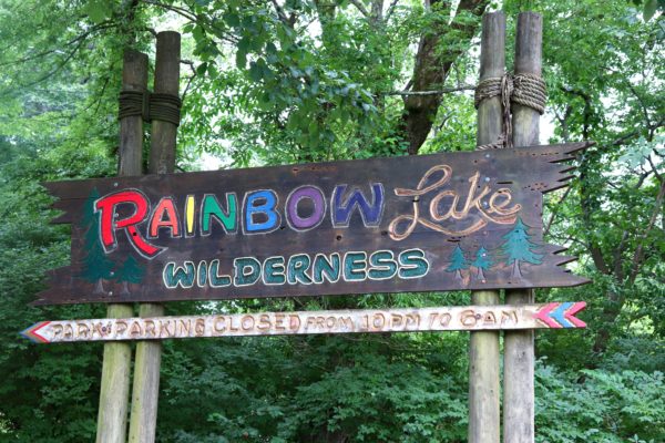
Rainbow Lake Wilderness Trailhead
The trailhead parking lot has limited space so I’d highly advise arriving early. We arrived around 10:30 on a Saturday morning and were just able to snag the last spot.

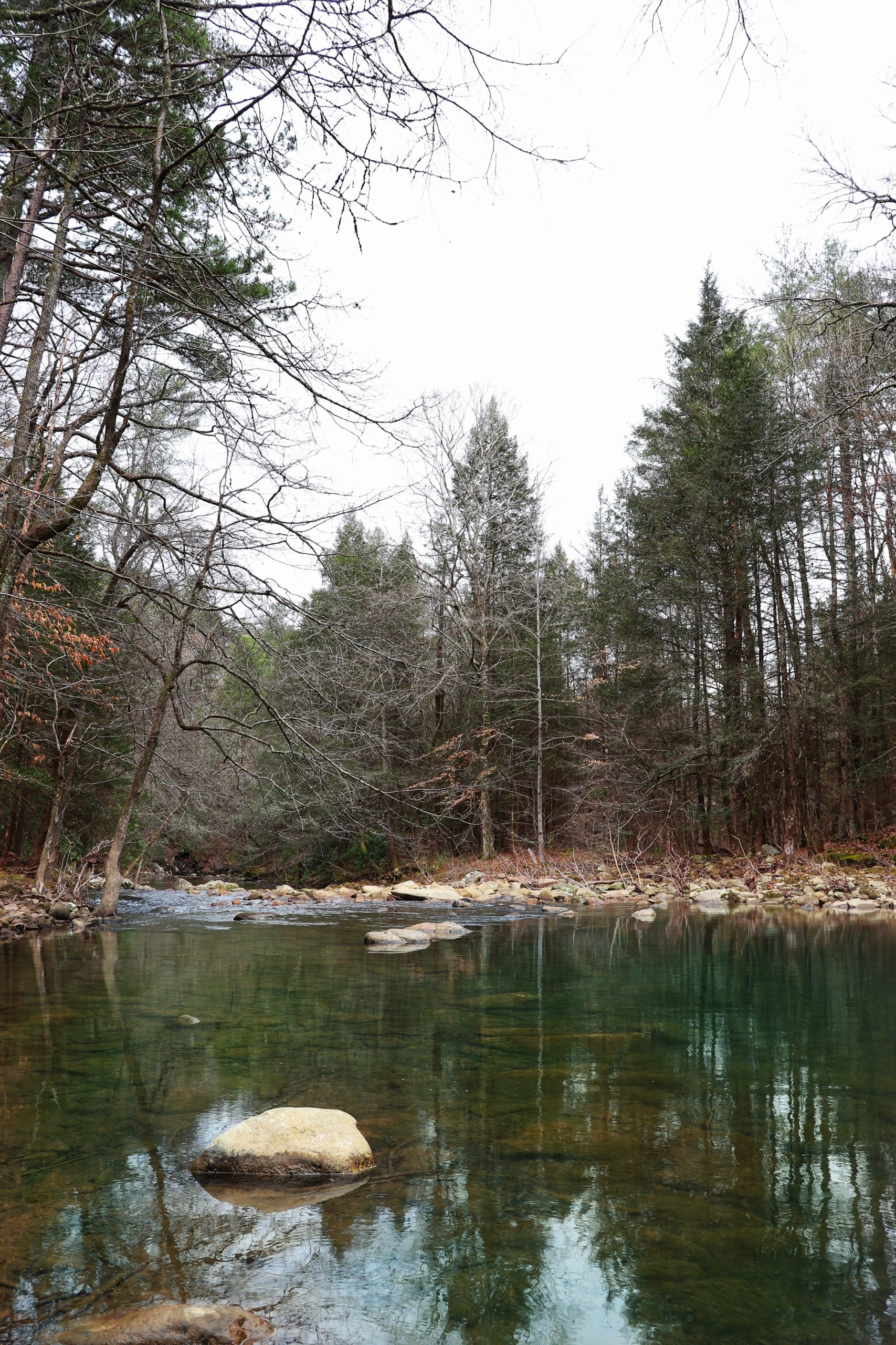
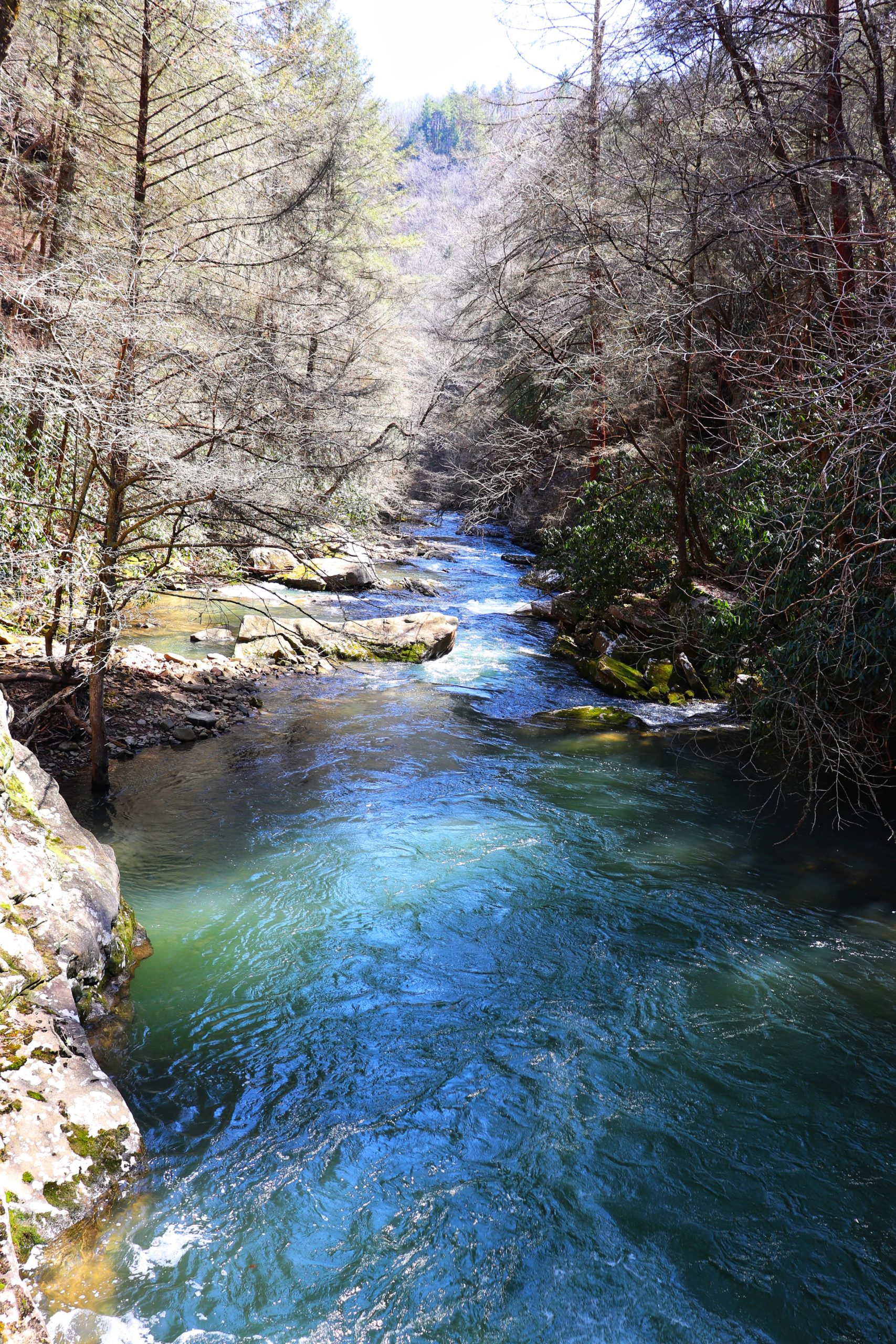
From the parking lot, the hike down to the lake is a switchback trail that descends for about .7 of a mile. Note that the trail runs beside a golf course and there are old sidewalks that run into the trail as well. It’s best to stay on the dirt trail for a more direct route. But don’t worry if you stray, most of the trails lead back to the main one.
Rainbow Lake

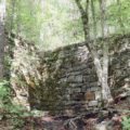
Rainbow Lake is actually a man-made lake. It was created back in 1916 for the Signal Mountain Hotel. The hotel has been transformed into today’s Alexian Village, a beautiful retirement home. Rainbow lake was made by damming Middle Creek as it flows down the mountain. The dam, although a bit broken now, is still there and you can easily walk on top of it up to the water’s edge, if you’re careful. Now that I know this place was made to accompany a hotel, it makes sense why there’s such an elaborate sign for this trailhead.

The trail also loops around the lake for a beautiful, lush (in the spring and summer) lakeside hike. It’s 2.3 mile hike that I’ve done in the past. However, I didn’t have time to do this one on this trip. I will share that one with you at another time. It’s easy enough, but also rocky.

Edward’s Point
Hiking to Edward’s Point from Rainbow Lake is only 1.4 Miles. There’s a short walk downstream to a suspension bridge which crosses Middle Creek. Then the trail ascends the other side for quite a while before reaching the top plateau. Once you reach the plateau, the hike is very flat and easy up to Edward’s Point.

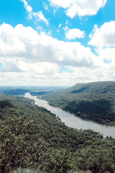
From Edward’s Point you can clearly see the Tennessee River below as it leaves downtown Chattanooga. In the distance you can make out Chattanooga, and if you’ve got a good eye, you’ll be able to spot Signal Point right across from you. In the picture above, Signal Point is to the left, just out of frame.
A few years ago a friend and I tried to hike from Signal Point to Edward’s Point. But we never made it. We lost the trail somewhere near the Lockhart Arch (a rock formation about halfway between the point and the bridge pictured below) and had to give up on finding Edward’s Point. We were able to turn around and trace back our steps safely to our vehicle. So, stay safe, and make sure you’re on the trail. This time around it was easy to find because it’s summer and the greenery helps keep the cleared trail marked well. And always keep an eye out for trees marked with the white tags of the Cumberland Trail.

Signal Point (Alternate Route)
Rainbow Lake and Edward’s Point are part of the Cumberland Trail System. If you want to hike to Signal Point from the Rainbow Lake Trailhead, you can do so just as easily. Just follow the trail downstream and don’t cross the suspension bridge. It’s also just 1.4 miles from the bridge. If you go this way, you’ll arrive from the back way on THIS hike I shared in an older post.
And if you decide to hike from the Rainbow Lake trailhead to Signal Point, you can hike up to the Signal Point entrance as well. From there, the street is only a half mile walk back to where you parked.
Final Thoughts
In closing, hiking to Edward’s Point was a fun hike that I found to be fairly easy. As an amateur hiker, I found that the hardest part was really the incline. But if you can go slow and take breaks, it’s not bad at all. Just make sure you stay on the trail so that you don’t get lost.
My video experience of this hike will be up tomorrow. I’ll link it here as well as sharing it on my Instagram.
Until next time, keep Exploring Chatt!
~Amanda

Hey! How long did this hike take to complete? Thanks!
First off, I apologize for the late response. Hiking to Edward’s Point from Rainbow Lake and back should take about 4 hours of hiking. Add to that stopping at Rainbow Lake and Edward’s Point for some time and you’ll probably have about 5 hours out on the trail. This is just a rough estimate. I personally take a lot longer to hike because I stop for photos and filming a lot. I hope this helps!
Hi there! Can you easily connect from Edwards’s Point to Julia Falls? I am having trouble finding a clear answer and maps. I appreciate your help!
Yes, however there’s no official way to get to Julia Falls specifically. The only trails circle around the waterfall much higher up on the mountain. You can get to Edward’s Point from Rainbow Lake or you can make a longer hike of it by connecting Signal Point and the Julia Falls Overlook to Rainbow Lake. However, you cannot see the waterfall from any of these trails.