Take a HIKE
Who doesn’t love a beautiful hike in the great outdoors? Chattanooga has countless locations to choose from when it comes to exploring outside. Here are just a few of many amazing hiking spots you can be sure to find when you visit the Chattanooga area and they are all a part of the Cumberland Trail.


Signal Point
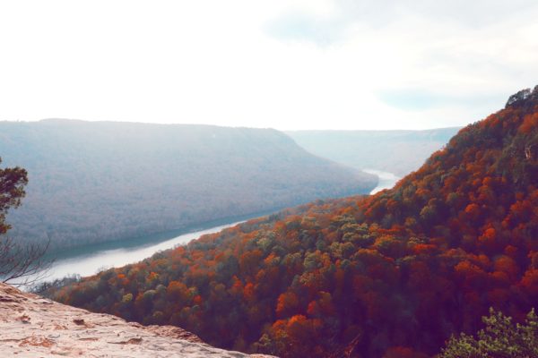
Signal Point is a great Chattanooga hiking trail to start your exploration of the Cumberland Trail. It has beautiful views of the Tennessee River and neighboring mountains, even from the starting point of the trail. After you hike down the trail for roughly 20 minutes, you will come up to an awesome bluff that gives you an even better view of the nature below. This is a great hike if you want to see mostly nature and not civilization. It’s a mildly challenging hike with many stairs down and back up the mountainside. I typically turn around at the bluff, but you can go on for miles if you wish.


North Chickamauga Creek Gorge
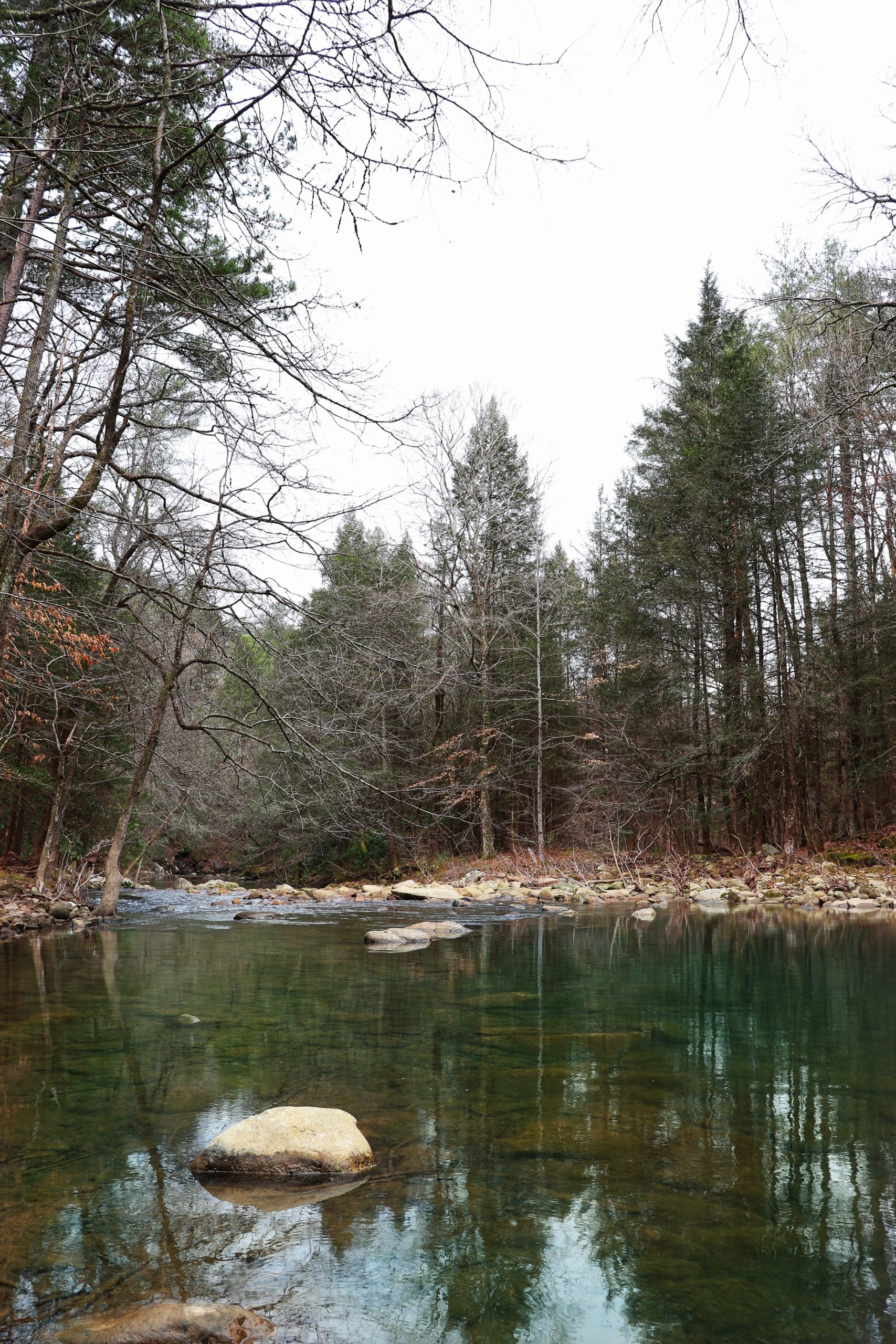
Another nice Chattanooga hike on the Cumberland Trail is at the base of Mowbray Mountain in Soddy Daisy. Soddy Daisy is a 20 minute drive from downtown on Highway 27. This trail is off the main road (Montlake Road) as you start to drive up the mountain. The trail head is named North Chickamauga Creek Gorge as the trail follows this creek. During the summer months, there are plenty of places to jump into the creek as it varies in width and depth all along the trail. This is a fairly easy hike depending on how far you go and it’s great if you want to take a dip in the cool creek water. Enter at your own risk as some places the current is strong and the entire creek is lined with boulders and rocks.


Mowbray Pike
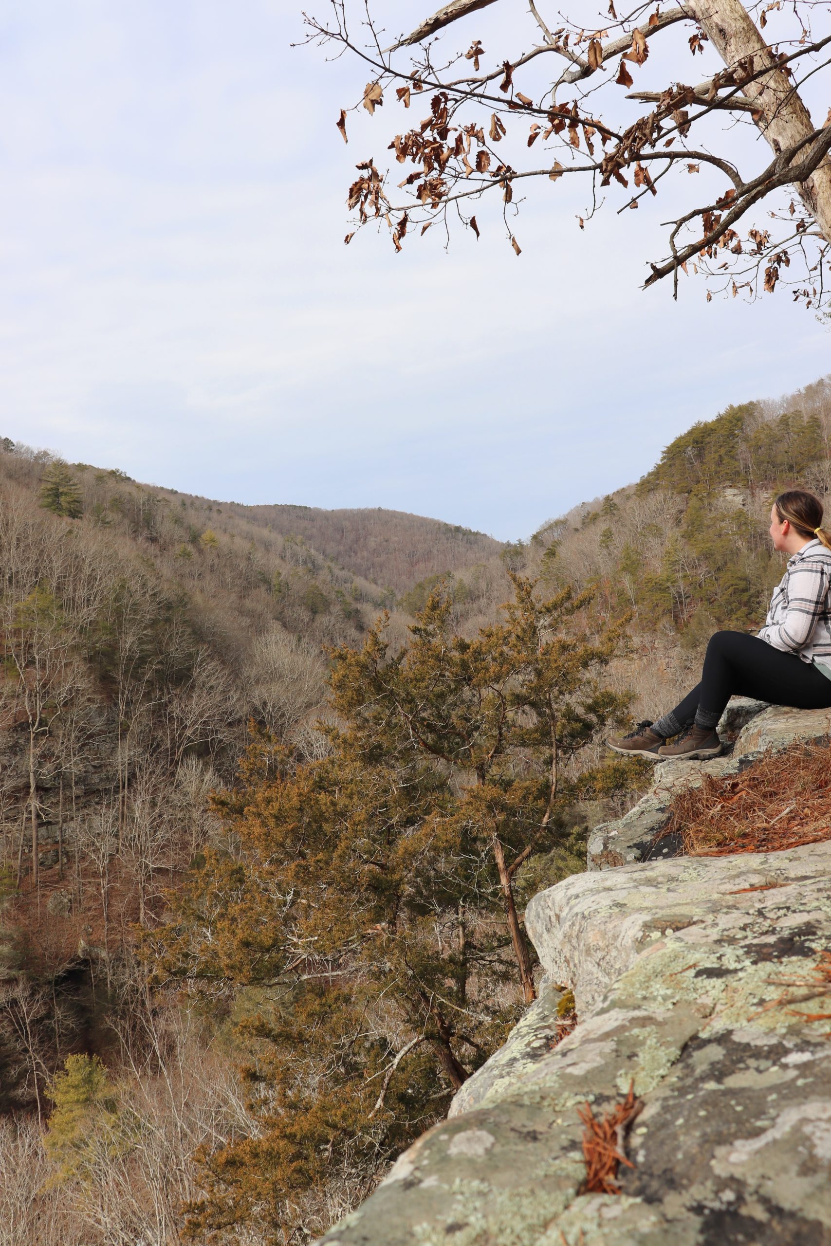
If you continue up Mowbray Mountain, there’s another Cumberland Trail trail head that is well worth checking out. At the end of Montlake Road turn right and go down about a quarter of a mile. As you’re going downhill, look out on your left for the entrance to the small parking area that is just above the road. This is the Mowbray Pike trail head and again, this is a fairly easy hike. After about 15 minutes of hiking, you will arrive to a beautiful bluff carved out for the power lines that run up the mountain. From here you will have great views of Soddy Daisy and the Sequoya Nuclear Power Plant. Just beyond the bluff there’s a small creek that runs down the mountain with numerous mini waterfalls. It’s a very peaceful area and popular among backpacking campers.
That wraps up my introduction to the Cumberland Trail which has 50 trail heads currently, extending for 210 miles through the Tennessee foothills. Please note that the Cumberland Trail is currently incomplete and you cannot hike these miles of trail continuously. For more information about the Cumberland Trail, please click here. There are many more hiking trails here in the Chattanooga area that I’ll share later on so stay tuned. Until then, I’ll see you around Exploring Chatt!


