I know what you’re thinking, “Tennessee doesn’t have a rainforest.” But this waterfall hike will make you rethink this idea. If you do this hike during the spring, you will see exactly what I’m talking about.
Retro Hughes Trailhead
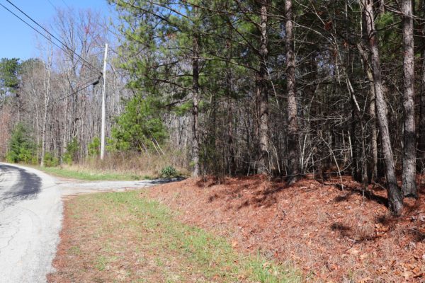
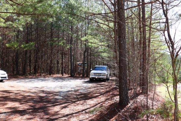
It all starts at the Retro Hughes Trailhead. This trailhead can be found off of Retro Hughes Road about a 10 minute drive from Highway 27 in Sale Creek, TN. For the exact location, click HERE. This trailhead is the starting point for the Cumberland Trail’s Rock Creek Section. The Rock Creek Section ends at the Upper Leggett Road Trailhead, but the trail continues south to the Rock Creek or Lower Leggett Road Trailhead.
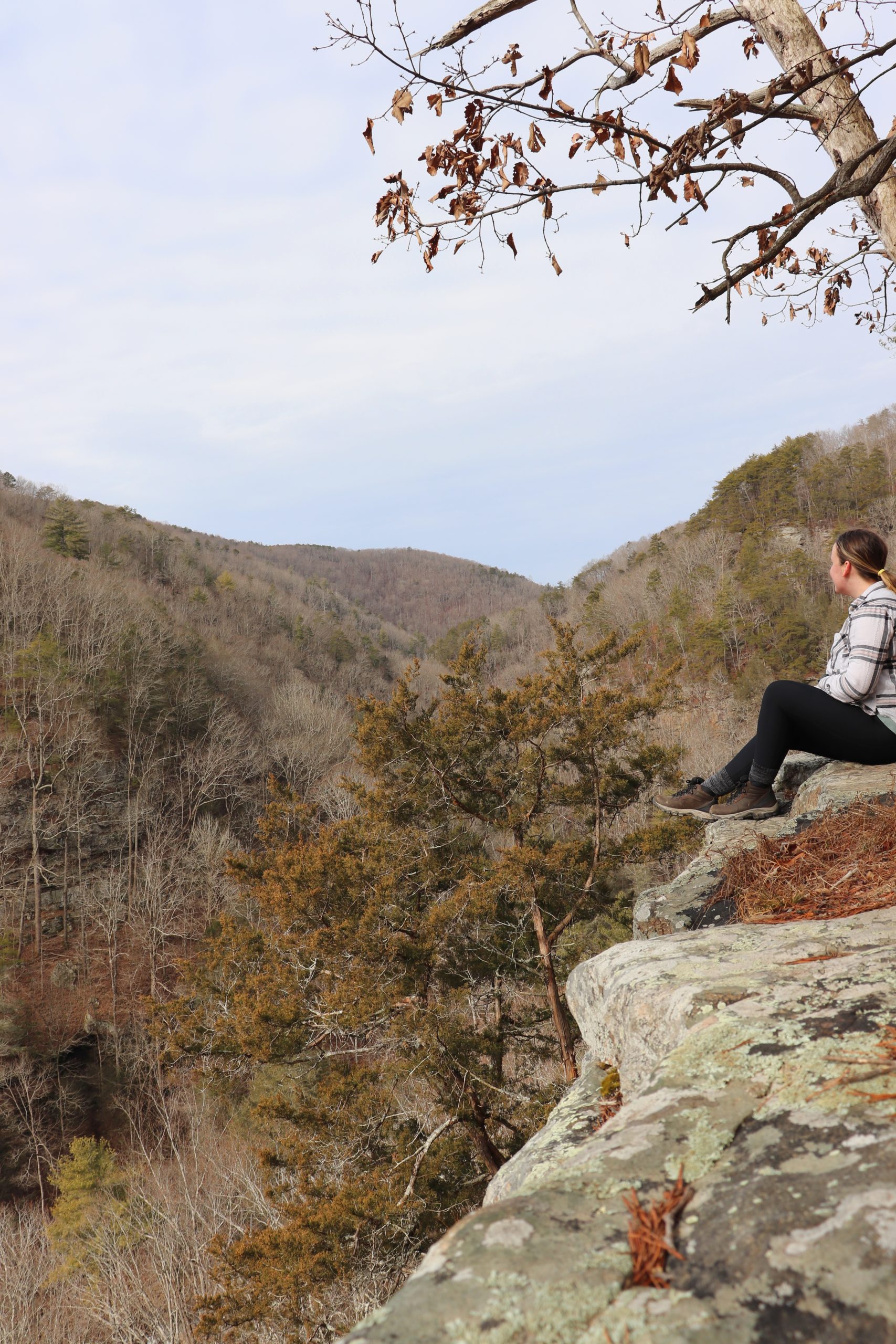
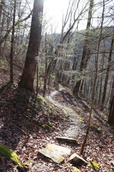
On this particular day, we hiked the just over 8 miles from point to point. With Retro Hughes Trailhead starting on top of a mountain and Rock Creek Trailhead being at the bottom, you’d assume a long, meandering descent down the trail. This assumption couldn’t be more incorrect though. There’s numerous ridges in the way so the trail goes up and down multiple times. If you attempt the full length of this hike, be prepared because it will wear you out if you’re not used to long-distance hiking with elevation gain and loss.
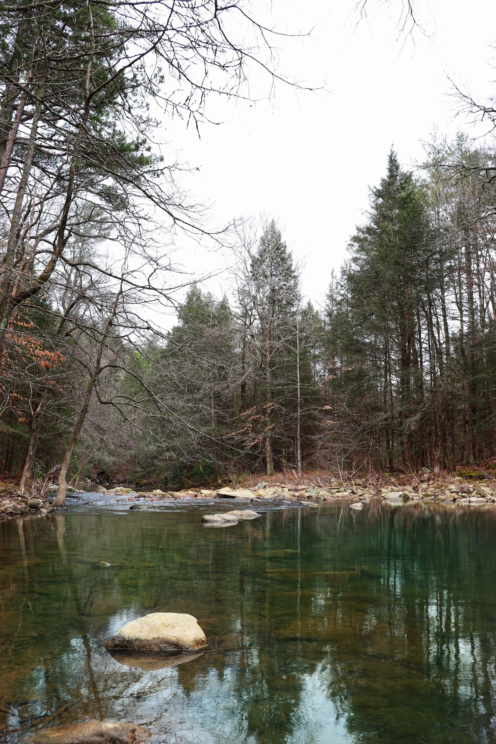
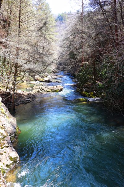
Rock Creek
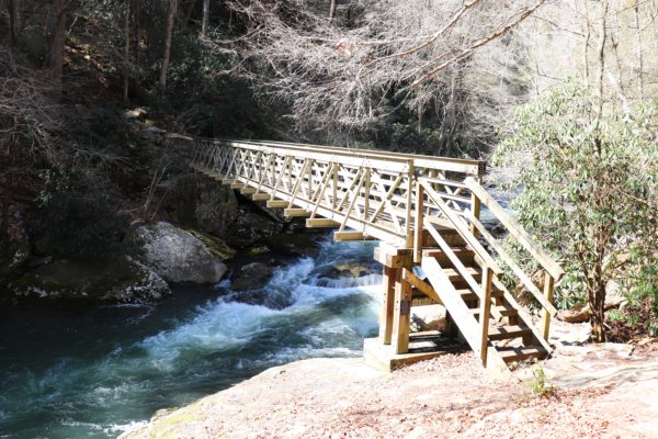
Rock Creek runs through the ravine at the base of the mountain. This wide creek has beautiful turquoise waters and can be overlooked at various points on the trail. The first 2.5 miles of the trail take you towards the creek where you will cross Rock Creek Bridge. This 80ft. long bridge was constructed by numerous volunteers from around the country.
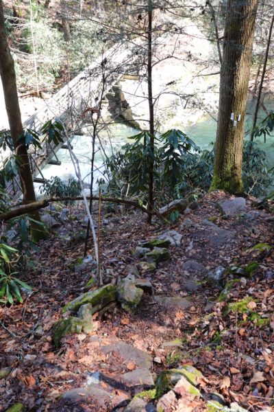
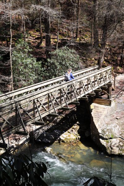
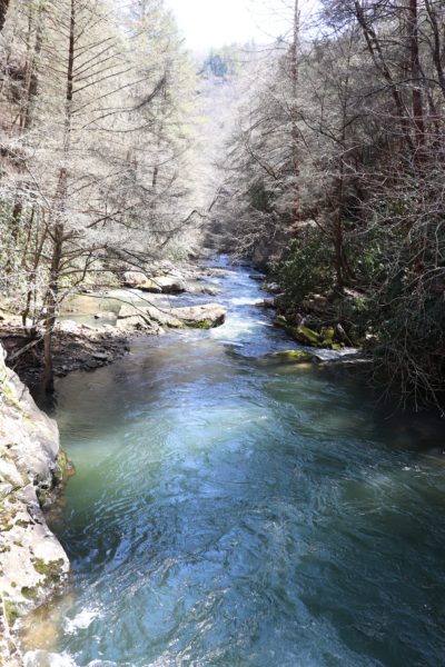
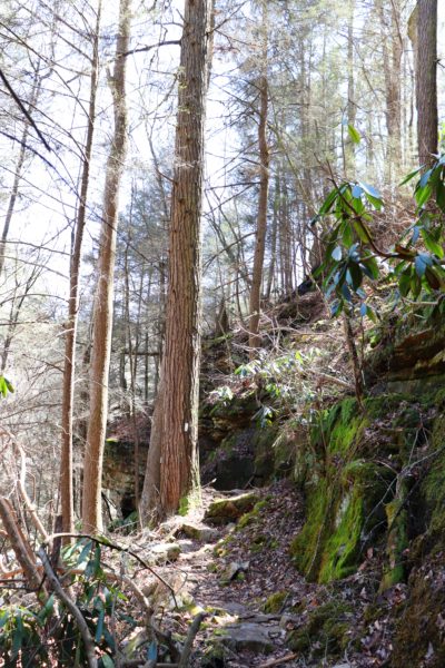
I really appreciate this bridge as it is well built, unlike everything else on this trail. All other bridges along this trail have since passed away, but this one still stands. Which is very good because Rock Creek would be impassible otherwise. The trail continues to follow Rock Creek downstream the rest of the way. Sometimes the trail is close and sometimes the trail takes you far and high above it.
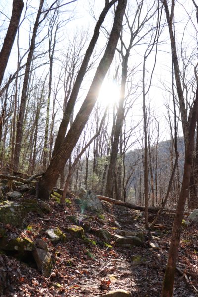
Waterfall Hike
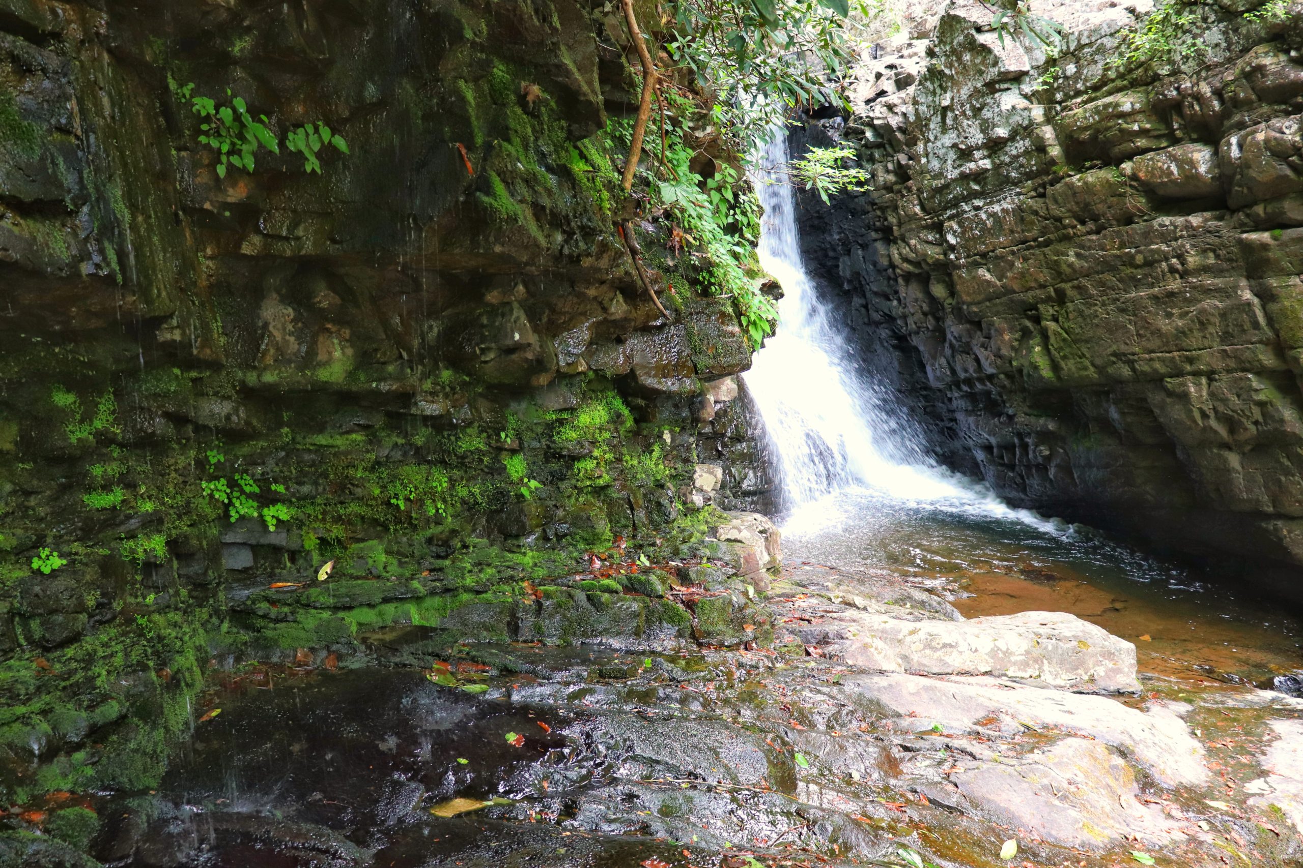
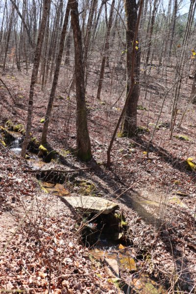
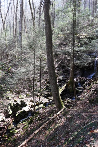
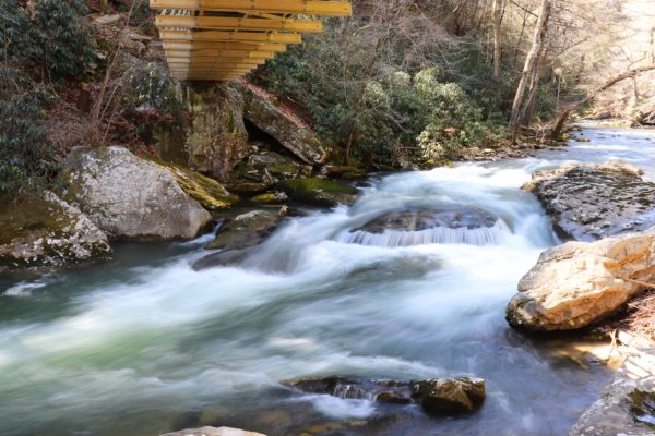
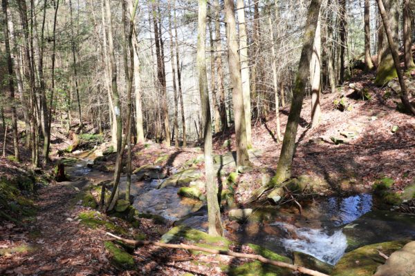
Now for the rainforest part. Starting at Retro Hughes Trailhead will soon bring you to a few creek crossings that also have waterfalls. Eventually you’ll be hiking down the mountainside and be surrounded by fresh greenery as spring begins. Because this area is not heavily traveled it’s prone to overgrowth. I would avoid this end of the trail towards summer and fall because it’s a well-known tick area.
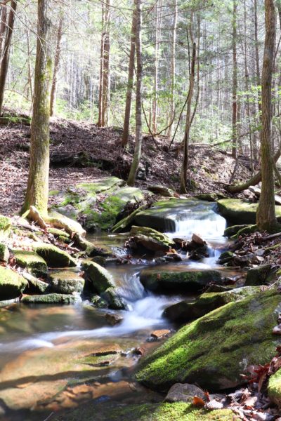
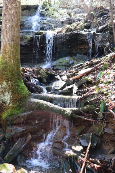
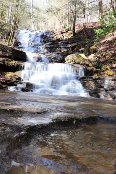
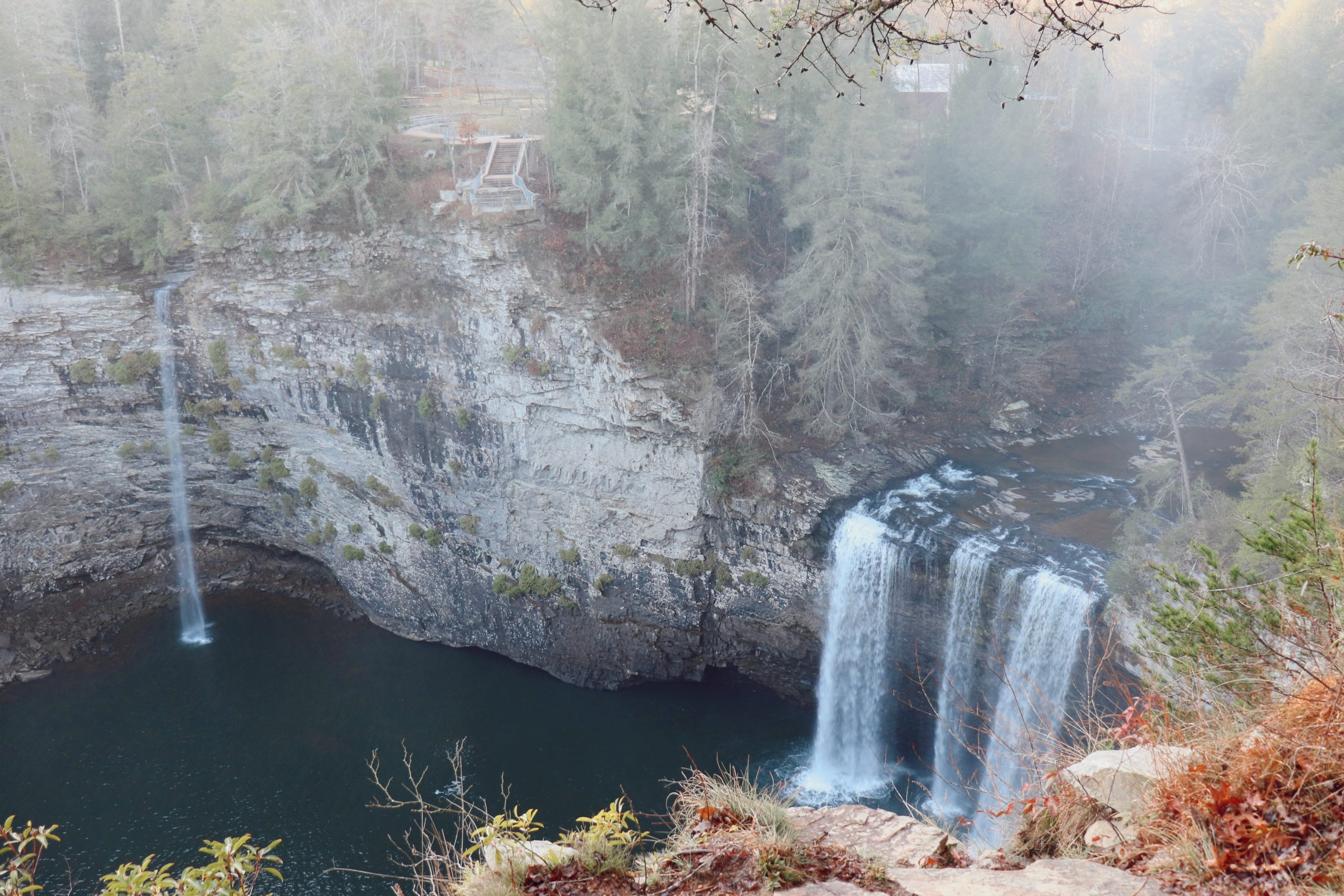
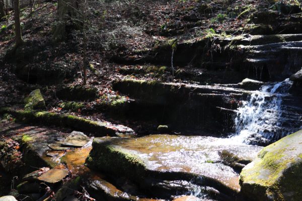
Past the first 3 miles, the trail becomes less overgrown. On this end there are more creek crossings and, you guessed it, more waterfalls. There’s so many creeks and waterfalls on this hike that I lost count! I started to call this hike “waterfall city” because of it. The biggest and probably most popular waterfall on this trail though, is the Leggett Branch Cascades (last picture above). This waterfall roughly marks the halfway point on this section of the Cumberland Trail. I also visited this waterfall from the Upper Leggett Trailhead previously. If you’d like more info about this approach, click HERE.
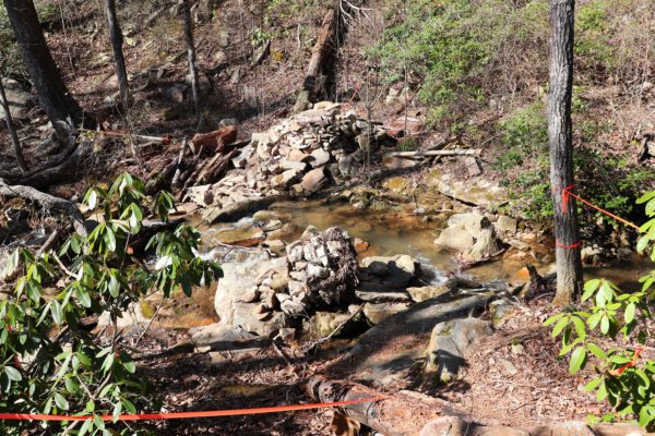
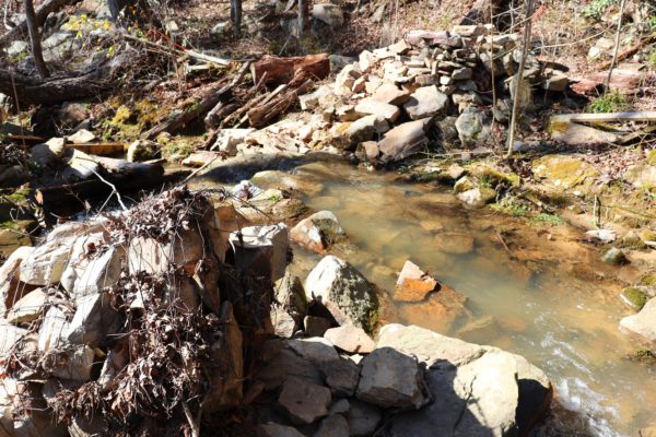
Above are photos of the bridge that’s now collapsed. This bridge was here last time I hiked from the Upper Leggett Trailhead. If you read that blog post from then you’ll see photos of this scary bridge. Now it is no more. It was the last standing, rickety bridge on the trail but now it’s gone. Which, honestly, makes this whole hike a lot safer, if you ask me. The creek crossings can be a bit daunting if the water is high, but they are all doable, even without the bridges.
Other Tips for This Hike
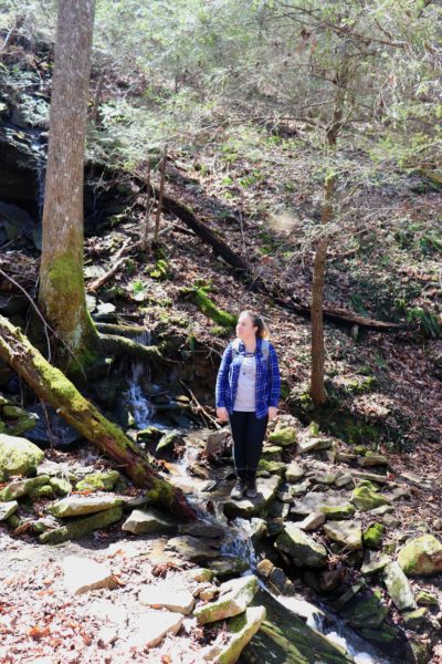
If it has recently rained (like when we went) the creeks will be flowing a lot. This makes for better waterfalls, but on the flip side it means you will have to walk through a lot of water too. I would advise wearing water-proof shoes or shoes you don’t mind getting soaked. For example, the last photo below is of a creek crossing. Here you have to walk completely through the shallow water to get to the other side of the continued trail. Some creek crossings have dry rocks to hop across but not all of them do.
This is a long waterfall hike if you choose to go straight through from Retro Hughes Trailhead to the Rock Creek Trailhead. It took us just over 7 hours to complete and that was with plenty of rest stops. You may find it beneficial to note that there’s primitive camping spots by the creek just on the other end of the Rock Creek Bridge. There’s a flat beach area that can fit 3-4 tents and even has a fire ring made of rocks. If you want to take your time here and make this waterfall hike a full weekend trip, then you easily can.
Since it’s such a long hike, I would not hesitate to just do part of it from the Retro Hughes Trailhead instead. In fact, I will probably go back and do this sometime. The most rainforest part of this hike is within the first 3 miles of the hike anyways. And the Rock Creek Bridge makes a great stopping point to turn around also. So if about a 5 mile hike sounds more appealing to you, I would suggest this option. Granted, I know 5 miles is still a lot, it will be easier than the full 8 we did.
In Closing
As stated earlier, avoid this hike later in the summer and the fall months. The first 3 miles are known to be tick heavy. You should be ok on the other end though. And if you want to just hike the Rock Creek Loop, you can check out my guide about it by clicking HERE. To watch the video adventure of this waterfall hike, click HERE. Comment down below if you’ve been here before or what you’re most excited to see on this hike when you go. Until next time, enjoy Exploring Chatt!