A local guide to the best Tennessee waterfalls that are hidden gems and within a day-trip drive of Chattanooga, organized by region.
By Amanda Collins, a Chattanooga local with 12+ years of experience exploring the greater Chattanooga area hiking trails.
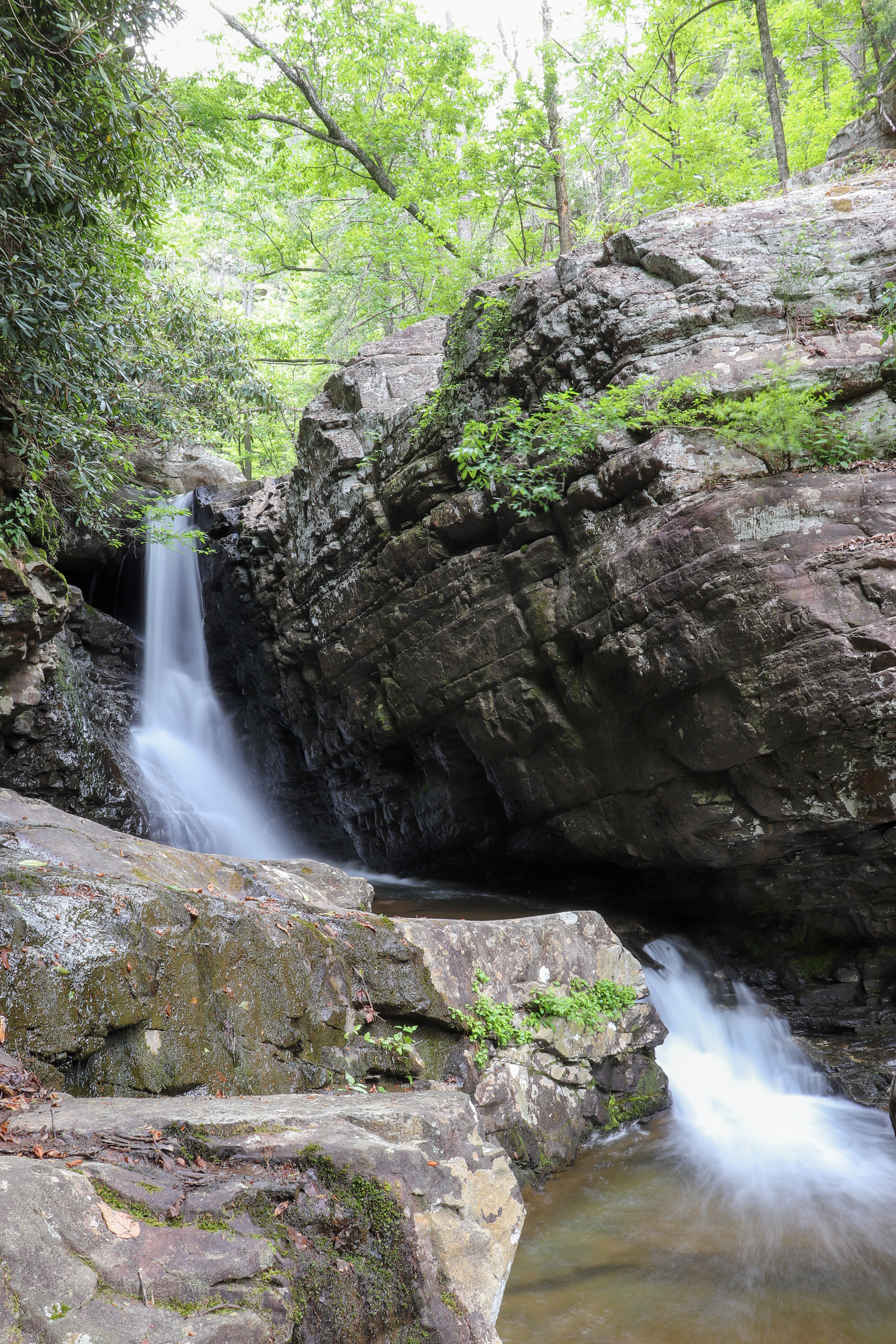
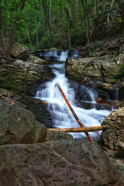
Everyone has heard of Fall Creek Falls. Many have heard of Benton Falls. But did you know there’s so much more out there? Even I have only just scratched the surface of Tennessee’s best waterfalls. Keep reading to learn more about the ones on my list that are a bit lesser known.
For this list, I have picked waterfalls from various locations to give you a spread of options. Most of these places have more popular waterfalls nearby if you want to explore those as well. These are listed in location order (west to east). Let me know in the comments below if you’ve ever been to any of these and which ones are new to you.
PLEASE BE RESPONSIBLE. When you use outdoor spaces, take out what you bring in. Do not litter or alter nature in any way. Let’s keep these beautiful places amazing so that we can all enjoy them for years to come.
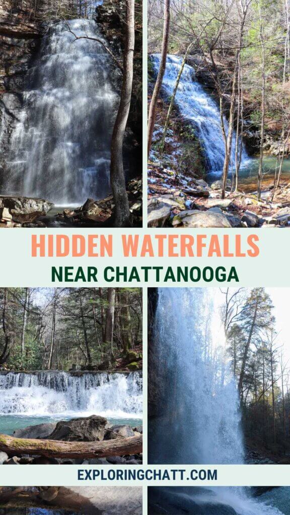
In a hurry? Pin this post for later:
Tennessee Waterfalls Tips
Many Tennessee waterfalls flow all year long, and most look way better during the wetter months due to rain. This area’s wetter months are typically January-April. Although you may choose to visit one for swimming, in which case I would recommend planning a visit in early summer before the waterfalls start to shrink.
Note, not all locations allow for swimming. Please be respectful and obey all signage found at the park you visit.
Although fall foliage makes for a beautiful scene, most of these waterfalls might be close to dry during peak leaf season here.
In the winter, some waterfalls may become icy. Please proceed with caution and consider reviewing my guide on Winter Hiking in the Chattanooga Area.
West of Chattanooga: Sparta to Sequatchie
Big Laurel Falls: Sparta, TN
- Drive from Chattanooga: 2 hours
- Hiking Distance: 5 miles round trip
- Elevation Change: 1,100 feet
- Swimming Allowed or Doable: No
- Starting Location: Virgin Falls Trailhead
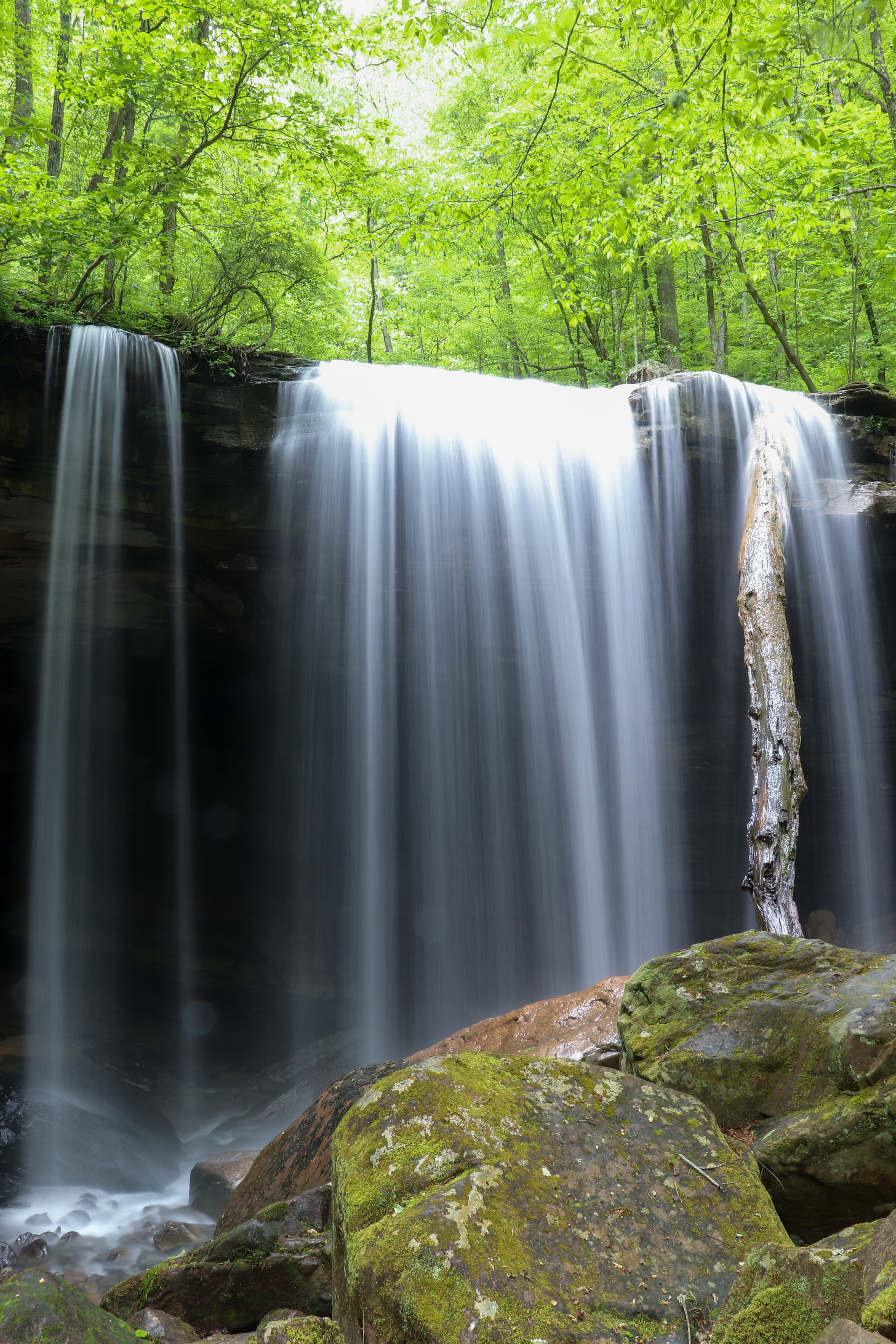
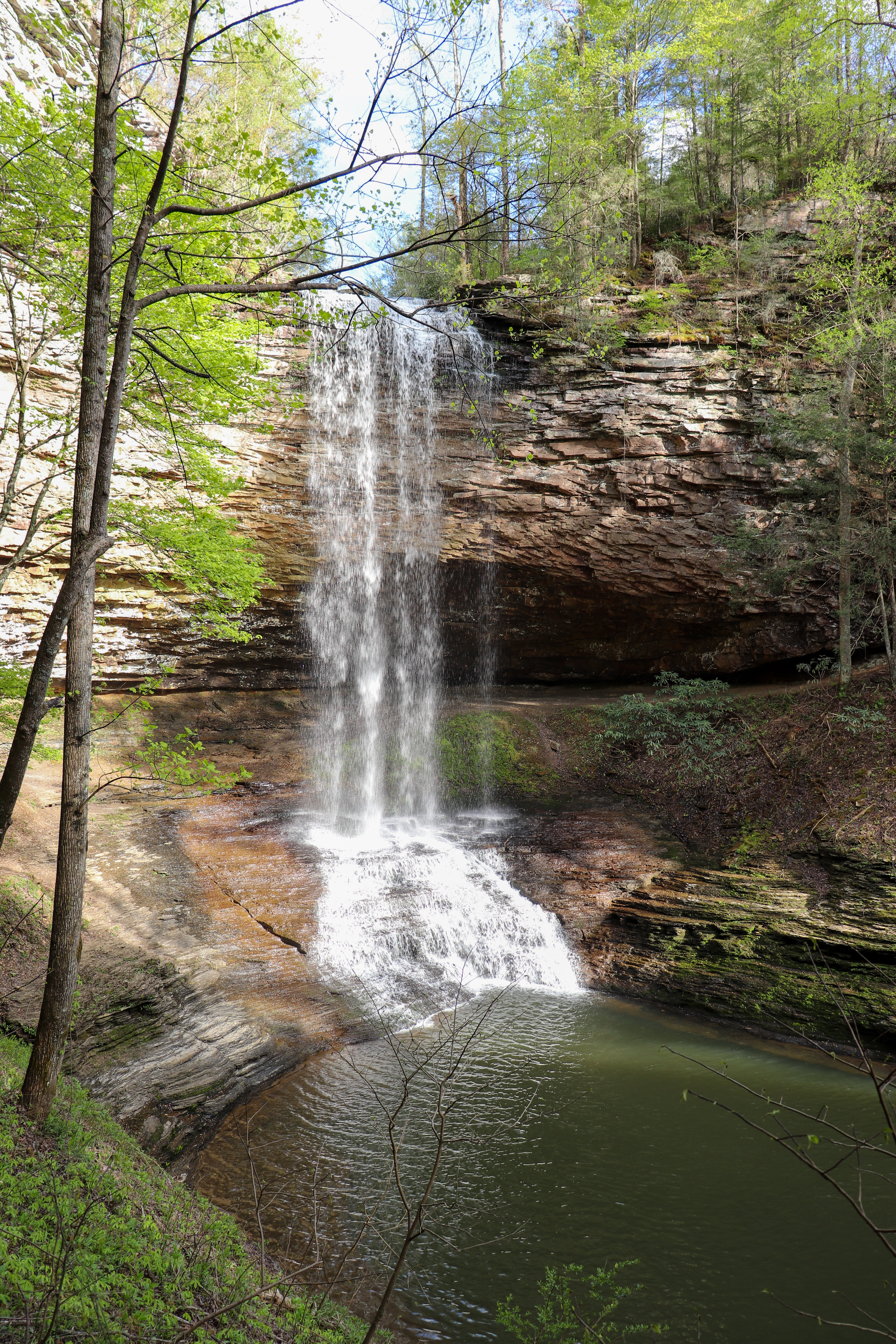
You’ve maybe heard of Virgin Falls but did you know Big Laurel Falls is at the halfway point on that long hike? This 40-foot waterfall spills from Big Laurel Creek and instead of flowing outward like most waterfalls do, this one actually goes backwards and flows into a cave below. This makes Big Laurel Falls one of the most unique waterfalls I’ve ever experienced. Be sure to learn more about this hike and plan for your trip in my Big Laurel Falls Guide.
Lost Creek Falls: Sparta, TN
- Drive from Chattanooga: 1 hour and 25 minutes
- Hiking Distance: 0.25 of a mile round trip
- Elevation Change: 30 feet
- Swimming Allowed or Doable: No
- Starting Location: Lost Creek Trailhead
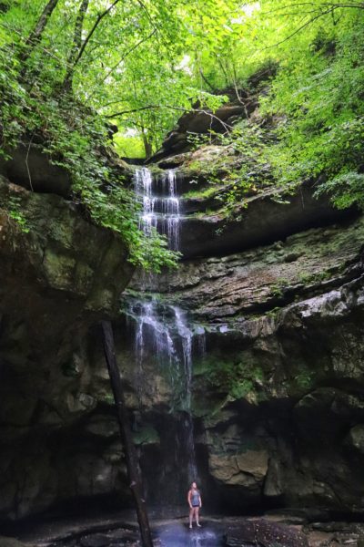
Lost Creek Falls has one of the shortest hikes on this list. It’s also unique because you can walk behind it and all around it. This waterfall is 40 feet tall and spills into a small pool you can wade through. Another cool fact is that a couple of movies were filmed at this location. Learn more about this place in my Lost Creek Falls Guide.
Hemlock Falls: Spencer, TN
- Drive from Chattanooga: 1 hour and 15 minutes
- Hiking Distance: 6.2 miles round trip
- Elevation Change: 650 feet
- Swimming Allowed or Doable: No
- Starting Location: Prater Place Trailhead
Hemlock Falls is located at the end of Prater Place Trail, making it a rewarding hike. This area is a lesser-known part of Fall Creek Falls State Park. I’ve been told in the past that it doesn’t flow during the drier months. But as long as it’s rained within the last few weeks, you should still have a waterfall to enjoy. There’s more to this hike than just the waterfall, so be sure to read more details about this particular hike in my Prater Place Guide.
Blue Hole, Big, and Step Falls: Manchester, TN
- Drive from Chattanooga: 1 hour and 20 minutes
- Hiking Distance: 3 miles round trip
- Elevation Change: 330 feet
- Swimming Allowed or Doable: Yes
- Starting Location: Old Stone Fort Loop Trailhead
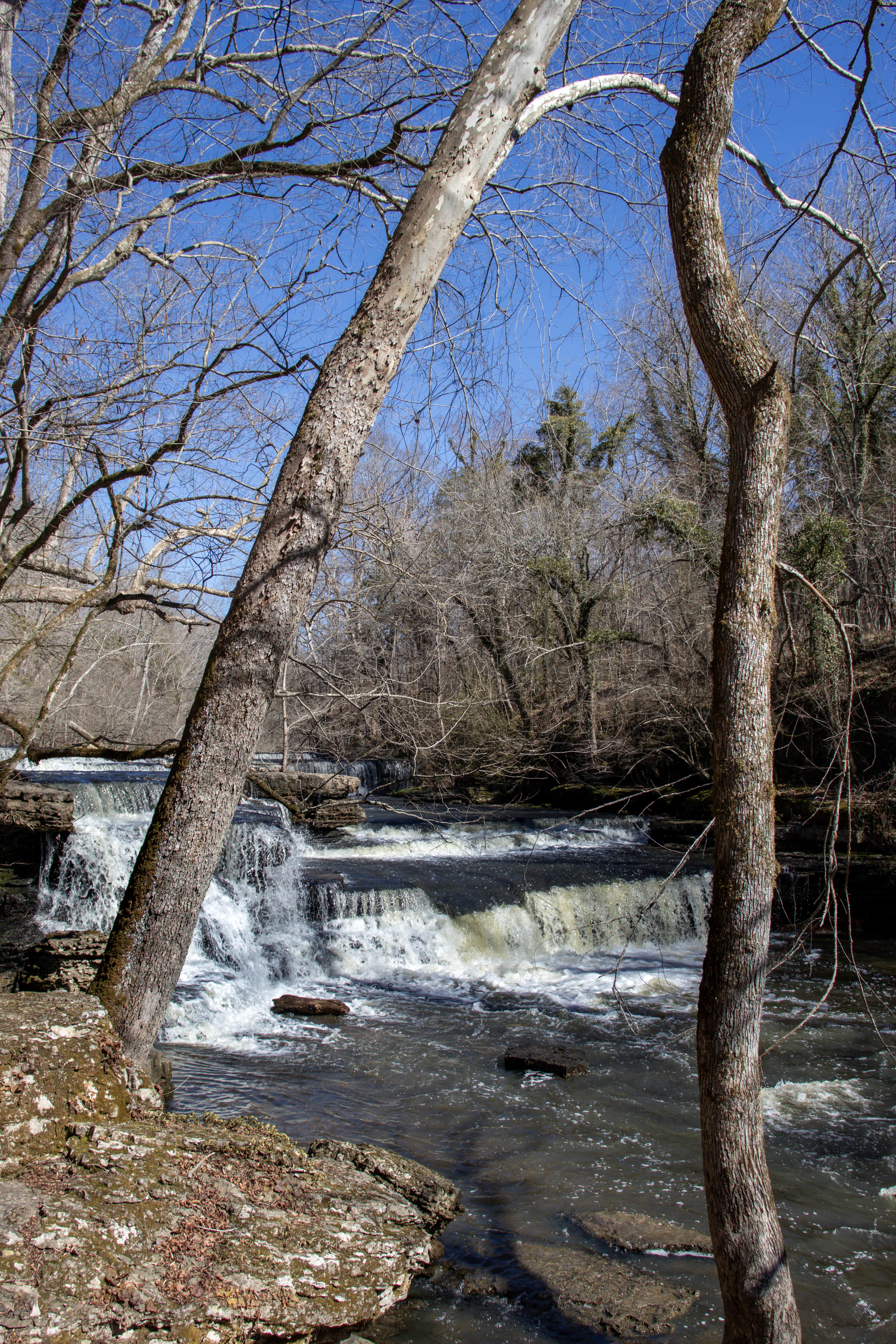
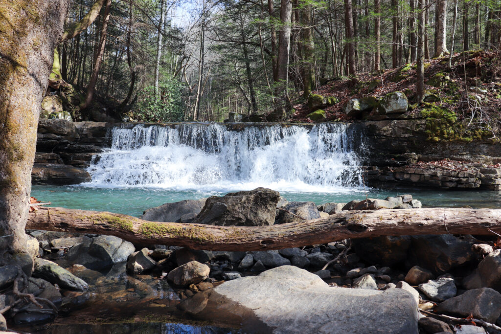
All 3 of these waterfalls are located within what I consider a hidden gem of a Tennessee State Park: Old Stone Fort. Blue Hole Falls and Big Falls are nearby each other on one side of the river, while Step Falls is on the other side. The park is like a peninsula on the Duck River, and there are various trails to explore, lots of history to learn, and plenty of waterfalls to enjoy. Learn more about this amazing place in my Old Stone Fort Guide.
Morgan and Bridal Veil Falls: Sewanee, TN
- Drive from Chattanooga: 1 hour
- Hiking Distance: 4 miles round trip
- Elevation Change: 800 feet
- Swimming Allowed or Doable: No
- Starting Location: Lake Cheston Trailhead
Did you know that sometimes hiking trails and waterfalls can be found on a college campus? Although Bridal Veil Falls is the highlight of this hike, there are many other waterfalls along the way, including Morgan Falls. Bridal Veil Falls flows below the trail and disappears into a cave underground. Learn more about these waterfalls in my Sewanee Waterfall Hike Guide.
Savage Falls: Palmer, TN
- Drive from Chattanooga: 1 hour
- Hiking Distance: 3 miles round trip
- Elevation Change: 300 feet
- Swimming Allowed or Doable: Yes
- Starting Location: Savage Gulf East Trailhead
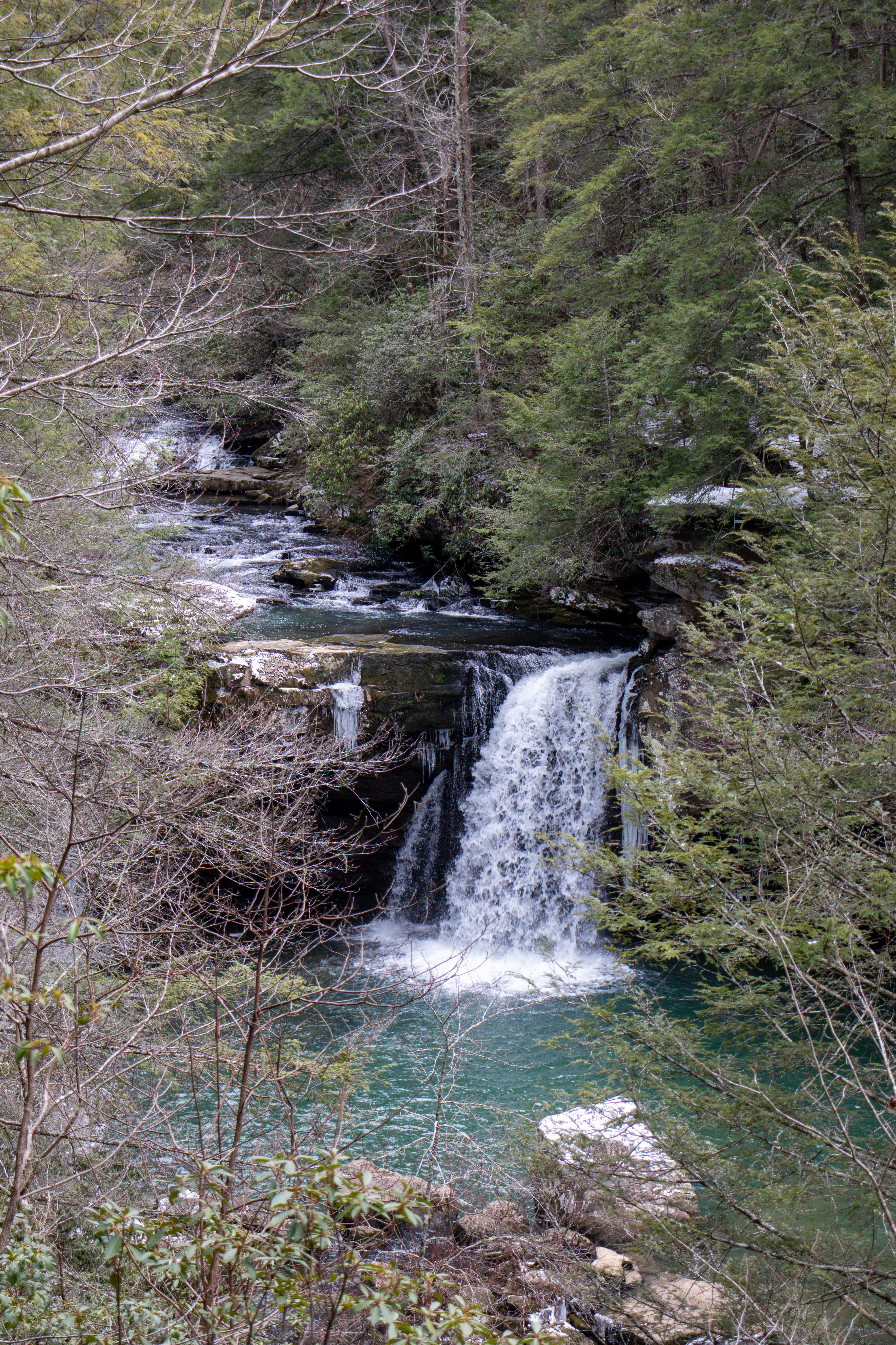
This waterfall requires a hike to reach, but it’s not too difficult a hike. Although Savage Falls is only 30 feet tall, it plunges into a beautiful blue hole at the bottom, making it a great warm-weather destination. However, make sure there’s been plenty of rain prior to your visit so that there will be a bigger waterfall to enjoy. Learn more about this place in my Savage Falls Guide.
Denny Cove Falls: Sequatchie, TN
- Drive from Chattanooga: 1 hour
- Hiking Distance: 3 miles round trip
- Elevation Change: 380 feet
- Swimming Allowed or Doable: No
- Starting Location: Denny Cove Trailhead
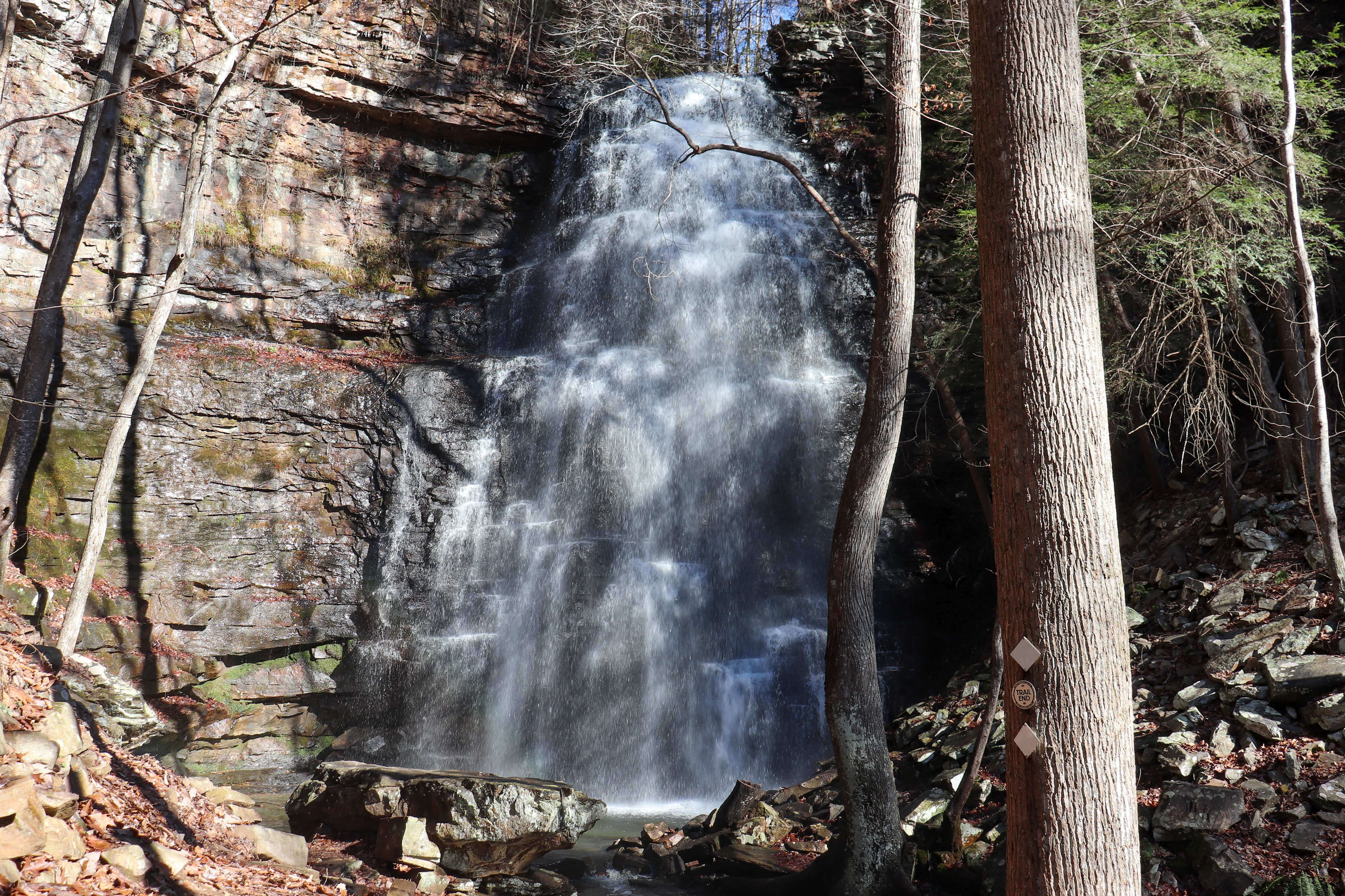
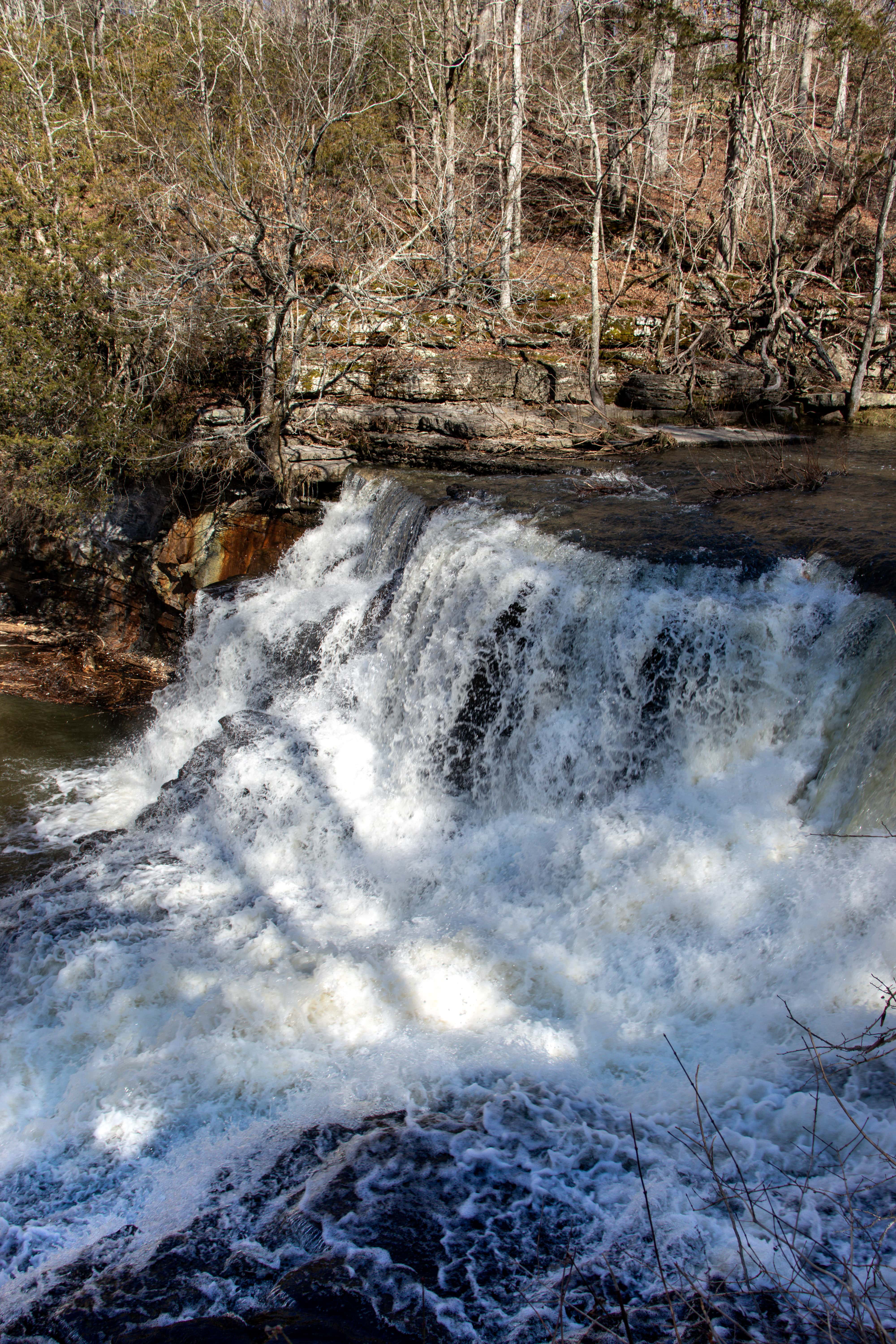
Note, this trailhead is located on a long, narrow, gravel drive. You may have heard of Denny Cove before, but I’ve found it to be a less-popular waterfall in the newly named Fiery Gizzard State Park. I’m not sure why this is, because the hike is just as wonderful as the waterfall itself. There are even overlooks along the way to this 70-foot cascading waterfall. Plan for your trip to see this waterfall by reading more details in my Denny Cove Falls Guide.
North of Chattanooga: Spring City to Soddy Daisy
Upper Piney Falls: Grandview, TN
- Drive from Chattanooga: 1 hour and 10 minutes
- Hiking Distance: 2 miles round trip
- Elevation Change: 300 feet
- Swimming Allowed or Doable: Yes
- Starting Location: Piney Falls State Natural Area
Upper Piney Falls is a favorite of mine because you can walk behind this waterfall. You can also hike to the edge of the top of this waterfall. Basically, you get to see all the angles of this waterfall, which is an uncommon feature. Learn more about the hike and where to find this place in my Piney Falls Guide.
White Pine Cascades: Spring City, TN
- Drive from Chattanooga: 1 hour and 15 minutes
- Hiking Distance: 3 miles round trip
- Elevation Change: 400 feet
- Swimming Allowed or Doable: Yes
- Starting Location: Newby Branch Trailhead
Fair warning, you will need to have good ground clearance in order to drive to this trailhead. But if you are able to, White Pine Cascades is beautiful to see in-person, especially if there’s been some rain. You will have to take a hike to reach it, but the scenery along the way is beautiful too. Learn more about this waterfall and hike in my Newby Branch Trailhead Guide.
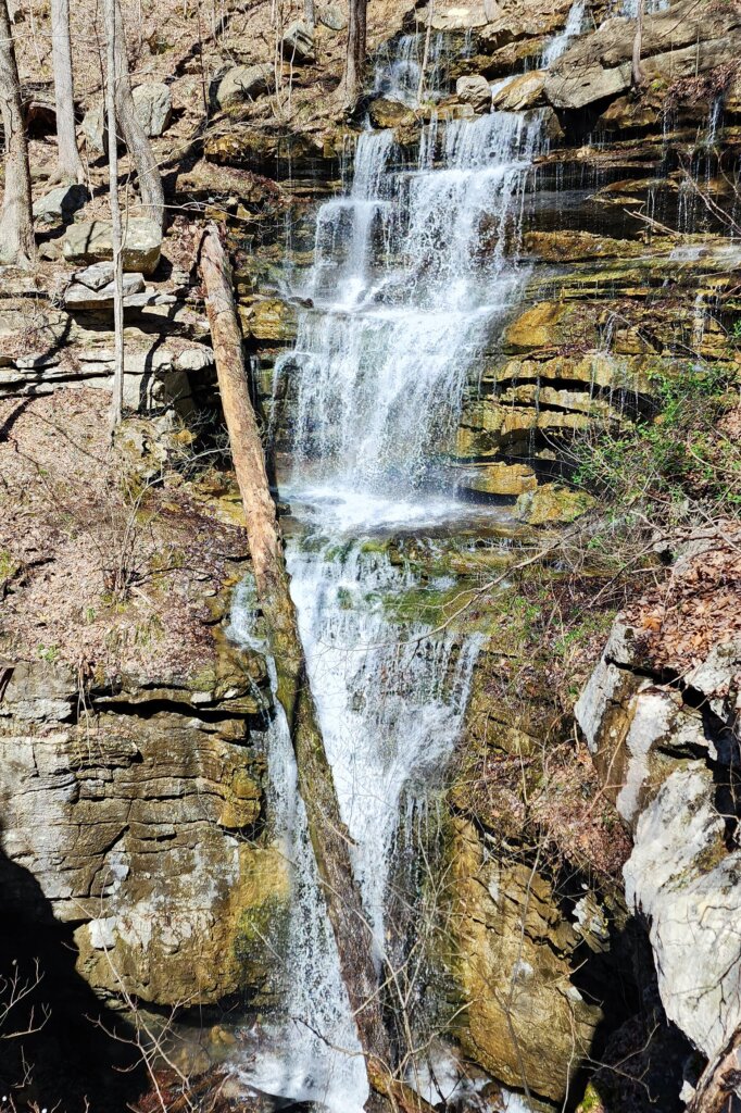
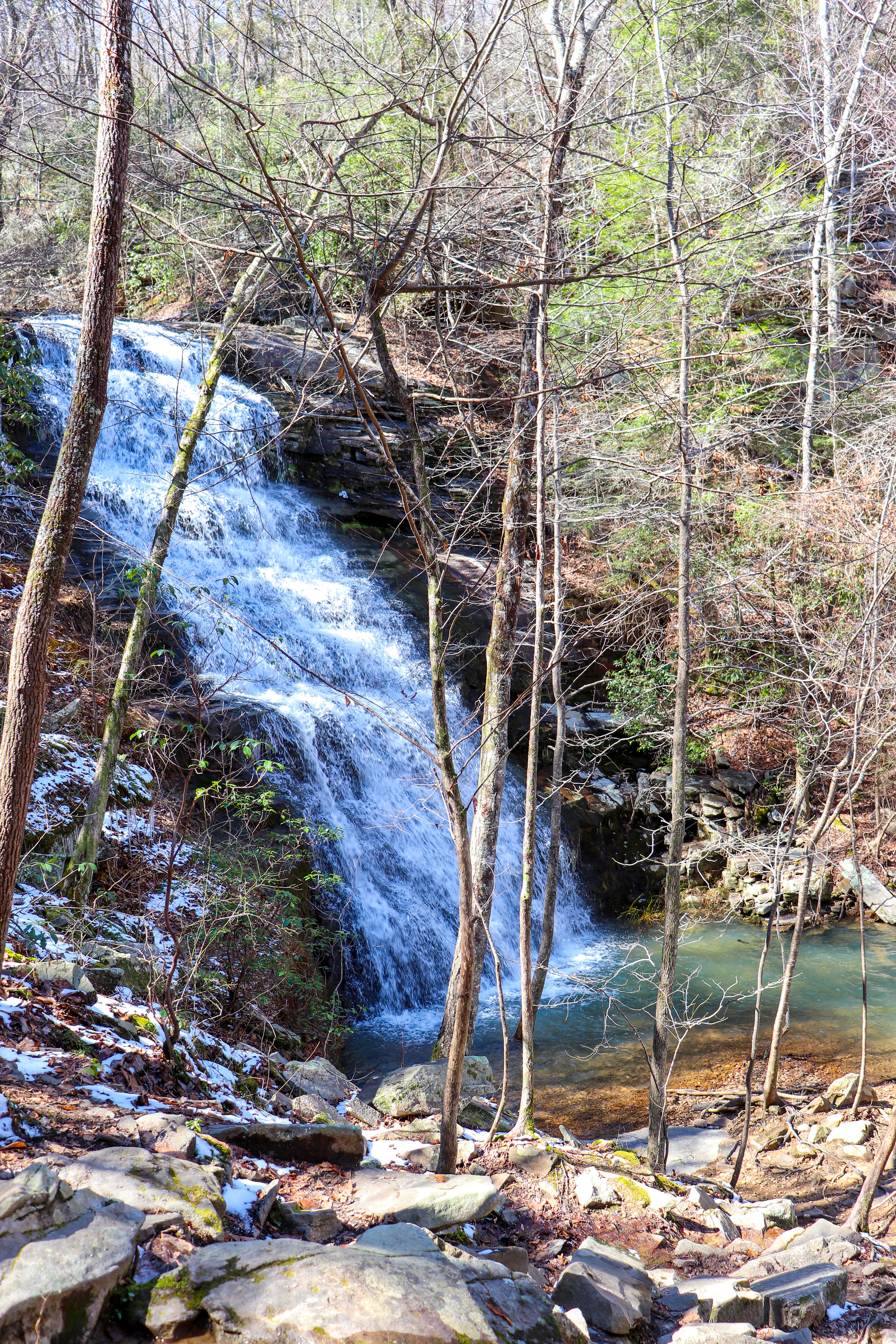
Laurel Falls: Dayton, TN
- Drive from Chattanooga: 50 minutes
- Hiking Distance: 3.5 miles round trip
- Elevation Change: 700 feet
- Swimming Allowed or Doable: No
- Starting Location: Laurel Snow State Natural Area
Not to be confused with Big Laurel Falls (we like this name for waterfalls here in Tennessee), Laurel Falls is an 80-foot-tall waterfall in Laurel Snow State Natural Area. It’s a scenic hike full of history with the waterfall at the end. This area is pretty well-known, but not quite as many people who visit here actually hike up to the waterfalls. Yes, there’s another waterfall, Snow Falls, located in this park as well. For more information so you can plan your trip here, check out my Laurel Snow Guide.
Leggett Branch Falls: Sale Creek, TN
- Drive from Chattanooga: 35 minutes
- Hiking Distance: 2 miles round trip
- Elevation Change: 400 feet
- Swimming Allowed or Doable: No
- Starting Location: Upper Leggett Trailhead
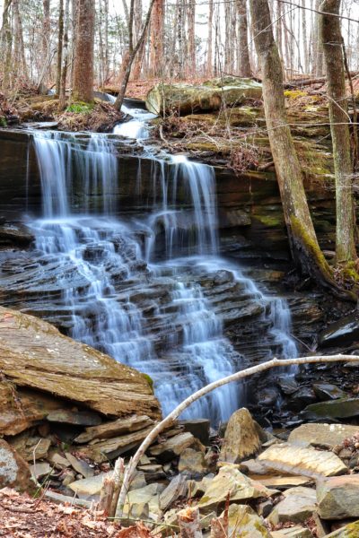
This waterfall is located on a section of the Cumberland Trail that has various wet-weather waterfalls that are noteworthy. If it hasn’t rained in a while, some of these won’t exist. But if it’s been rainy recently, you’ll definitely want to check some of these out. My favorite one is the tallest cascade that comes down and actually crosses over the trail. This would be Leggett Branch Falls. Learn more about these waterfalls in my Leggett Trailhead Guide.
Richey Ridge Falls: Soddy Daisy, TN
- Drive from Chattanooga: 30 minutes
- Hiking Distance: 0.25 of a mile round trip
- Elevation Change: 400 feet
- Swimming Allowed or Doable: No
- Starting Location: Heiss Mountain Trailhead
This one is located on top of Flattop Mountain just off of Highway 111, and you don’t have to hike very far to reach it. When I first found this waterfall, I thought it was crazy how close it is to Highway 111, and yet not many people realize this is here. Learn more about the location of Richey Ridge Falls and more about its hiking trail in my Heiss Mountain Trailhead Guide.
Lasley and Soddy Waterfalls: Soddy Daisy, TN
- Drive from Chattanooga: 20 minutes
- Hiking Distance: 4 miles round trip
- Elevation Change: 180 feet
- Swimming Allowed or Doable: Yes
- Starting Location: Big Soddy Creek Gulf Trailhead
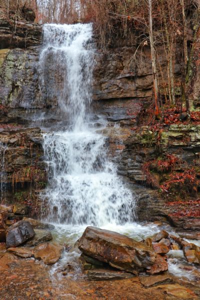
If you’re in the Soddy Daisy area, chances are you’ve visited this popular park before. If not, let me tell you that you can expect to find waterfalls here after some decent rain. The first, Lasley Falls, is right along the main trail. You can’t miss it because you will walk right beside it! The second is much more hidden, but I tell you exactly where to find it in my Big Soddy Creek Gulf Guide.
In Chattanooga:
Blowing Wind Falls: Chattanooga, TN
- Drive from Chattanooga: 25 minutes
- Hiking Distance: 3 miles round trip
- Elevation Change: 675 feet
- Swimming Allowed or Doable: No
- Starting Location: Ritchie Hollow Trailhead
Blowing Wind Falls is a 30-foot-tall cascading waterfall that is hidden away near the top of the mountainside in the Tennessee River Gorge. This waterfall can be found on the Ritchie Hollow Trail, which takes you deeper into the Prentice Cooper State Forest Park. Since this place is part of the Prentice Cooper Park, be sure to check their hunting dates and plan accordingly, as the trail will be closed during hunts. Learn more about this hike in my Ritchie Hollow Trail Guide.
East of Chattanooga: Reliance to Delano
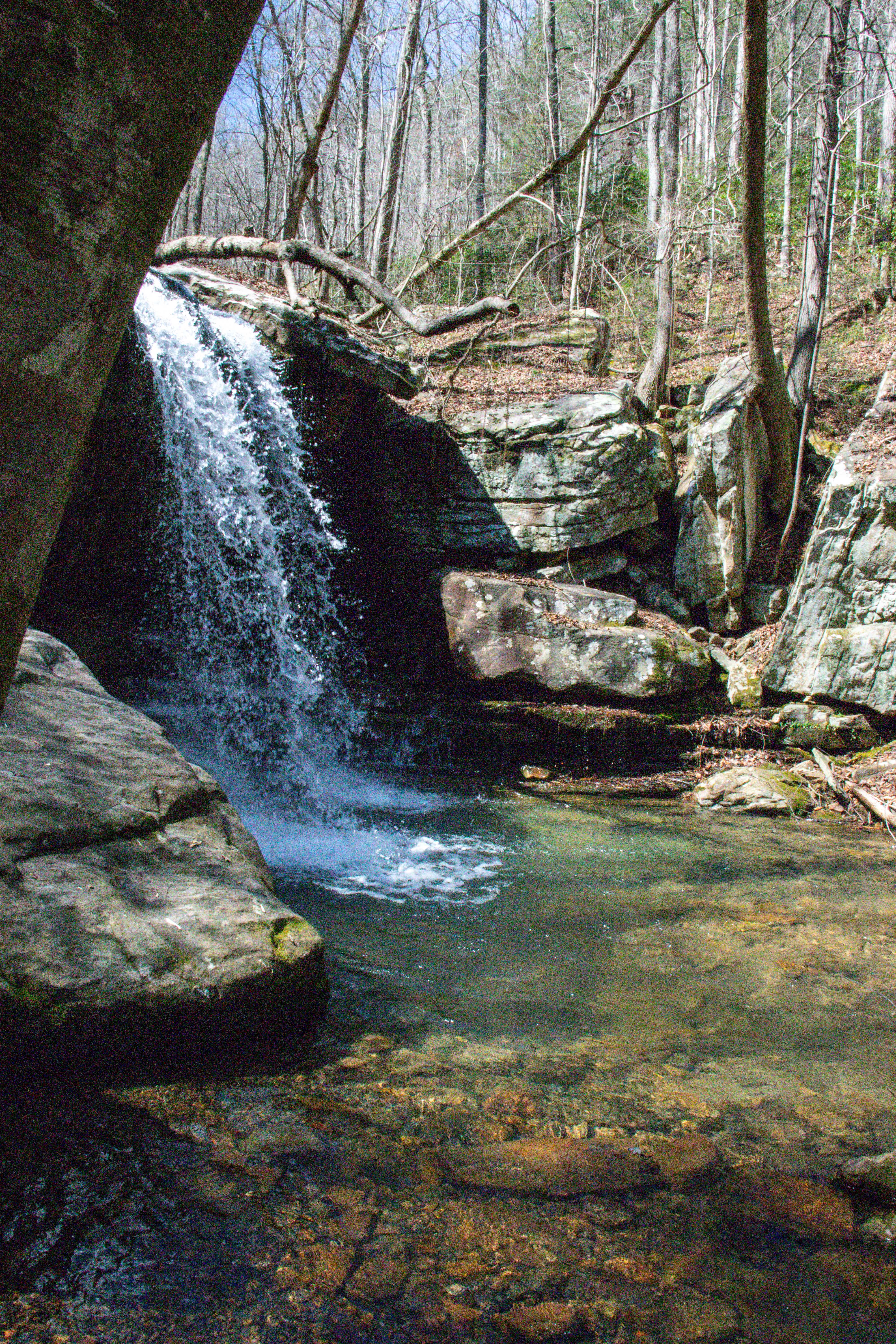
Scenic Falls: Reliance, TN
- Drive from Chattanooga: 1 hour
- Hiking Distance: 3 miles round trip
- Elevation Change: 400 feet
- Swimming Allowed or Doable: Yes
- Starting Location: Clemmer Trailhead
This waterfall has many names so I’m sticking to Scenic Falls. Some call it Rock Creek Falls as it flows from a creek by that name. Whichever name you land on, this is definitely one of the best hidden Tennessee waterfalls to visit in the summertime. The hike is fairly easy but there are some obstacles to note before you head out. So be sure to read through all the details in my Scenic Trail Guide.
Gee Creek Falls: Delano, TN
- Drive from Chattanooga: 1 hour and 10 minutes
- Hiking Distance: 2.5 miles round trip
- Elevation Change: 520 feet
- Swimming Allowed or Doable: Yes
- Starting Location: Gee Creek Trailhead
This waterfall is challenging to get to, so please take this into consideration. In fact, I still have not seen this particular waterfall because I haven’t been able to hike to it. The trail is broken off and requires some careful rock climbing/maneuvering in order to continue on to it. But I’ve been up to this point, and the smaller waterfalls along the way make a worthwhile hike as well. Learn more about this spot in my Gee Creek Guide.
In Closing
Tennessee has so many amazing waterfalls within a day’s drive of Chattanooga, it’s impossible to list them all. But this list will get you started with some of the less crowded options that are out there.
If you want more, including detailed trail maps, check out A Year of Hiking, where I share every trail specific to some of these hikes and more! Not only that, but this ebook encourages you to get out and hike all year long with one hike a month, dedicated to each season.
Let me know in the comments below if you’ve visited any of these waterfalls before and which one is your favorite. If you want to watch the video versions of each of these waterfalls, I made a playlist for you on YouTube. Until next time, enjoy exploring Chatt!

Explore These Popular Nearby Waterfalls:
Inspired? Pin this post for later: