Sewanee has over 60 miles of hiking trails that take you to countless Tennessee waterfalls and breathtaking views.
Did you know that the Sewanee University campus has hiking trails? I didn’t realize just how many they had until I set out to find Bridal Veil Falls. Although this waterfall is the highlight of this hike, there are many other waterfalls along the way. But that’s not all. Continue reading to learn more about my latest hike here, the route options, and what you’ll find along the way.
Overlooks
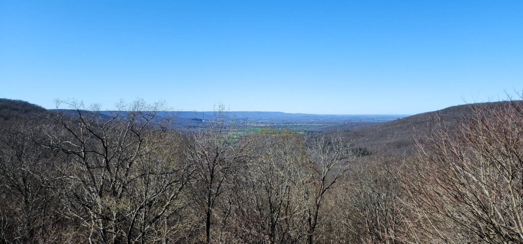
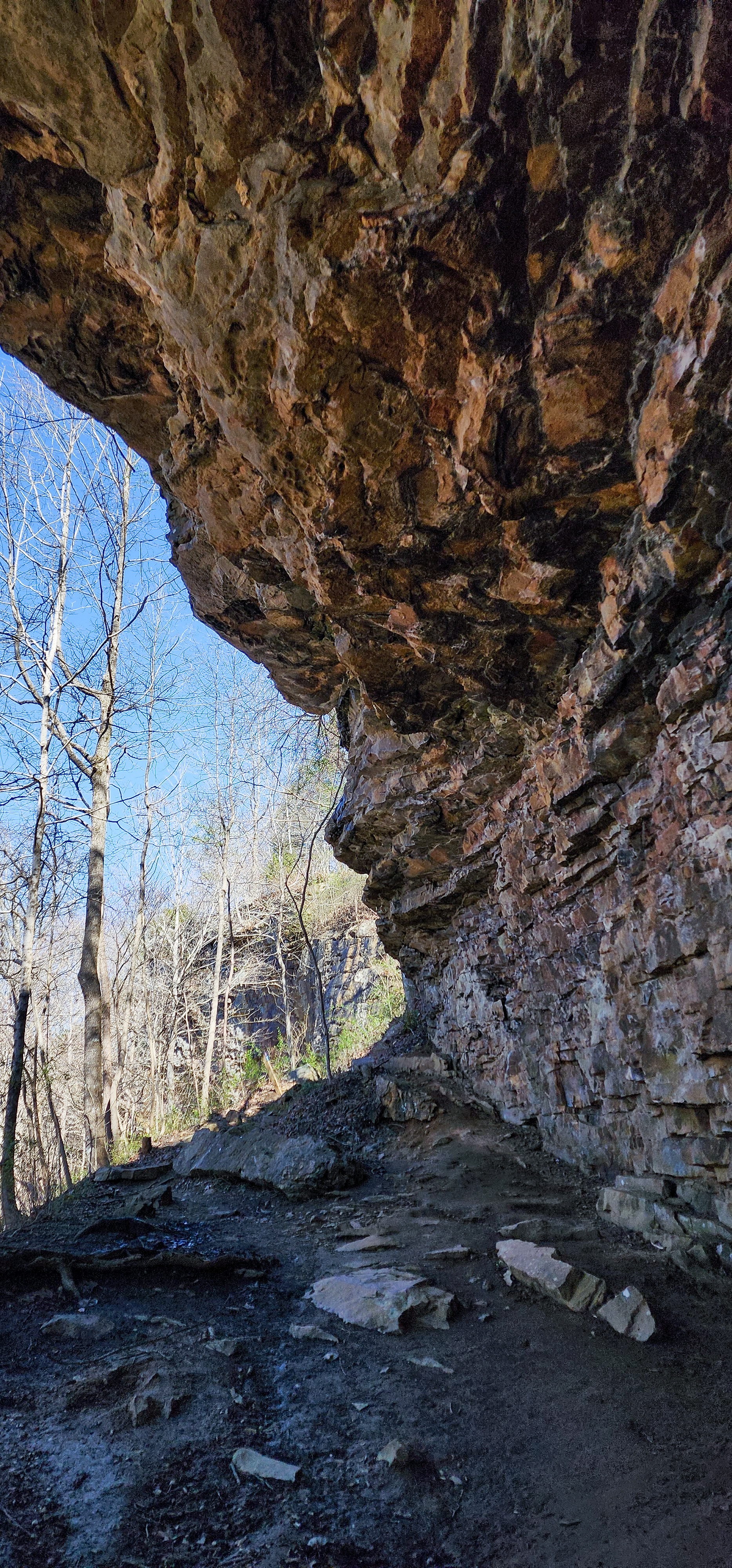
Our first surprise was finding this overlook. I didn’t realize it at the time but it’s called Morgans Steep. And it’s the best overlook you’ll find on this hike.
We ended our hike by checking out Otey Overlook. However there was no clearing that made the overlook obvious. So I’m not sure where the overlook is or if it’s even a clear overlook like the first one.
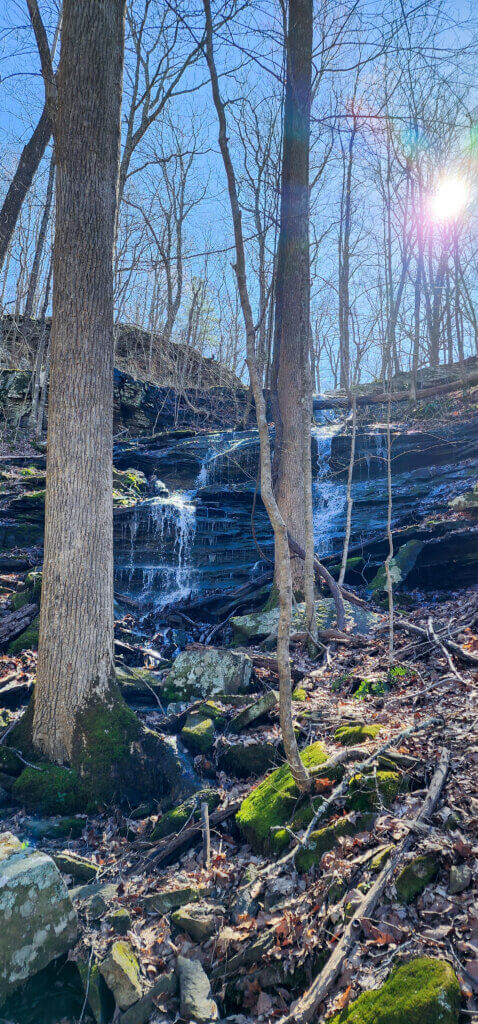
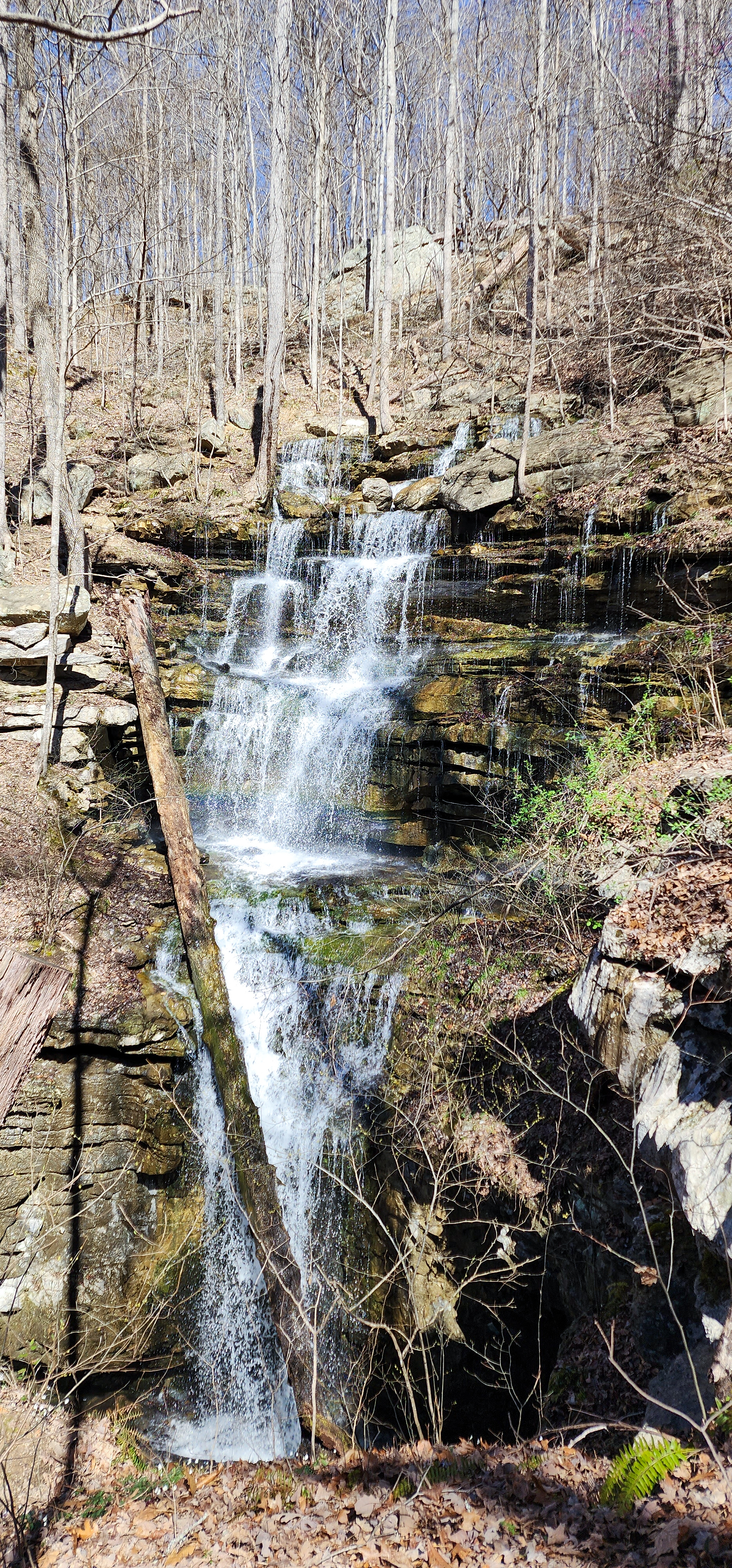
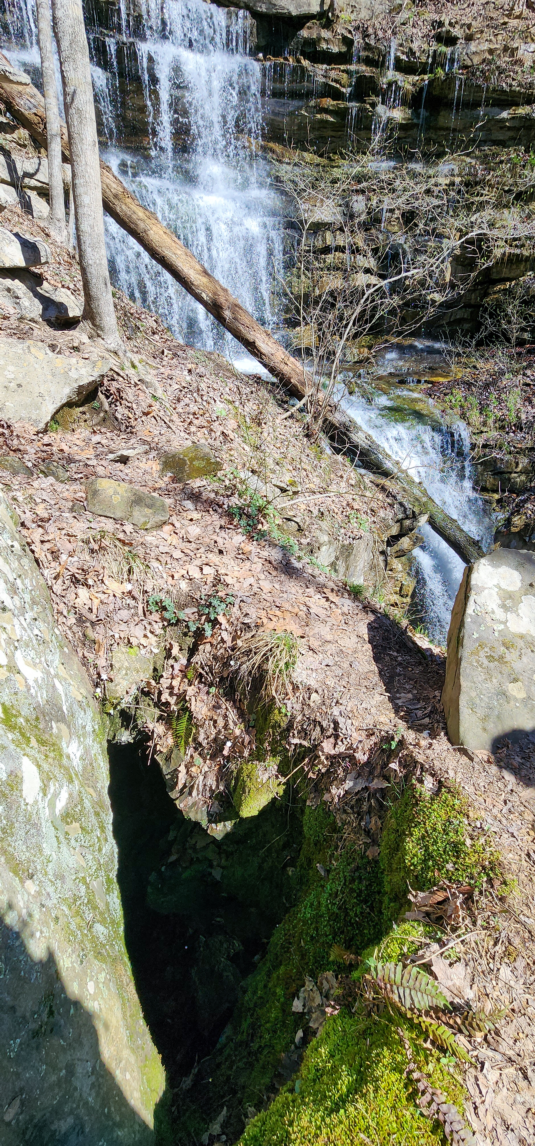
Morgans Falls
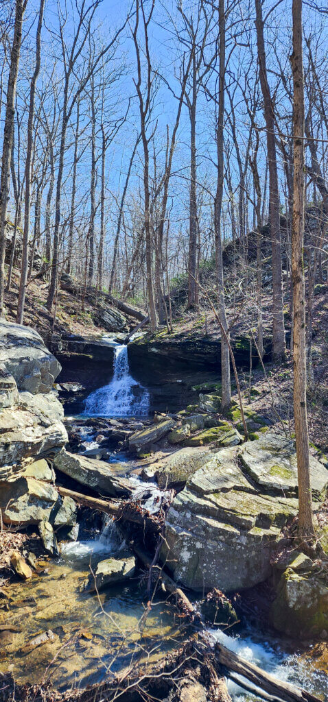
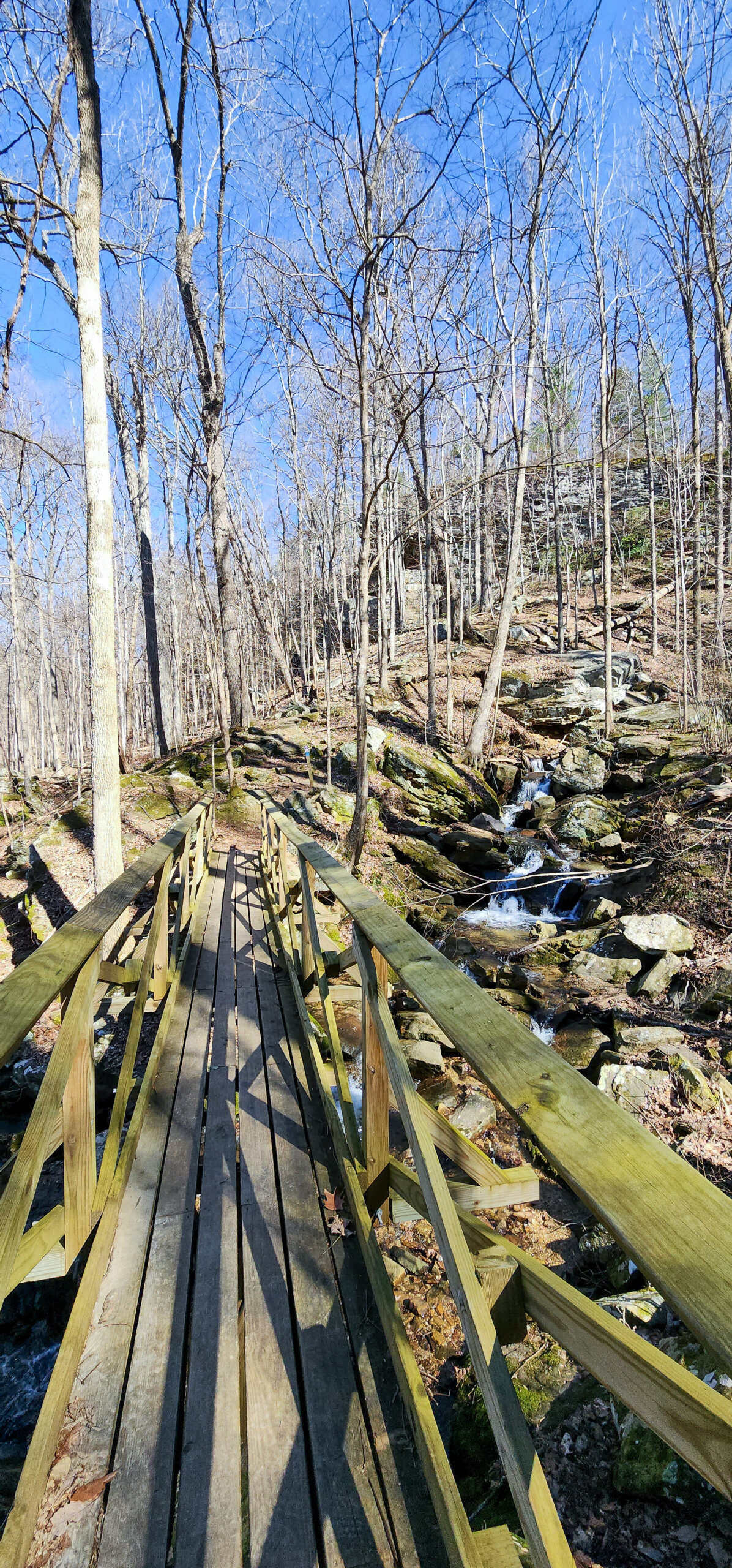
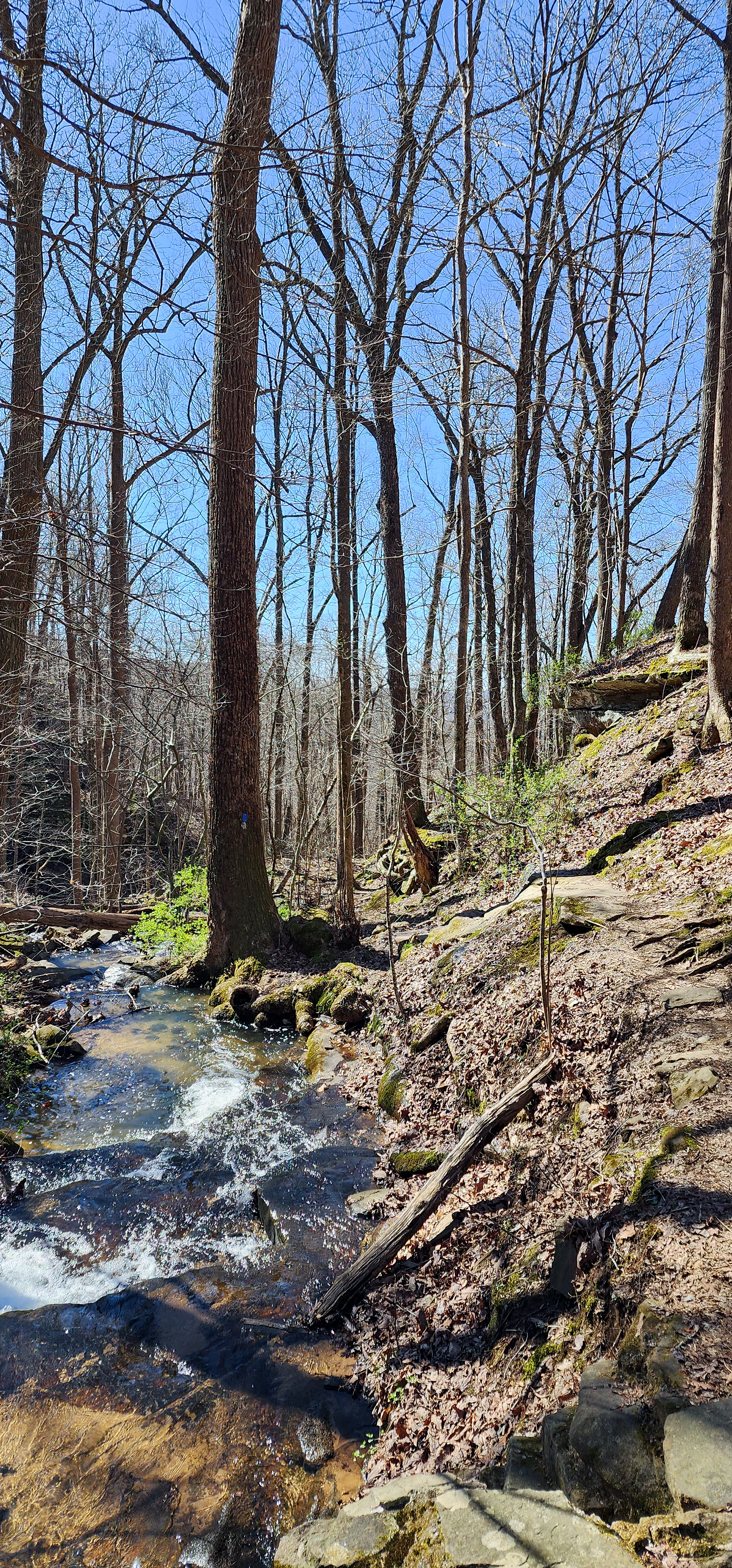
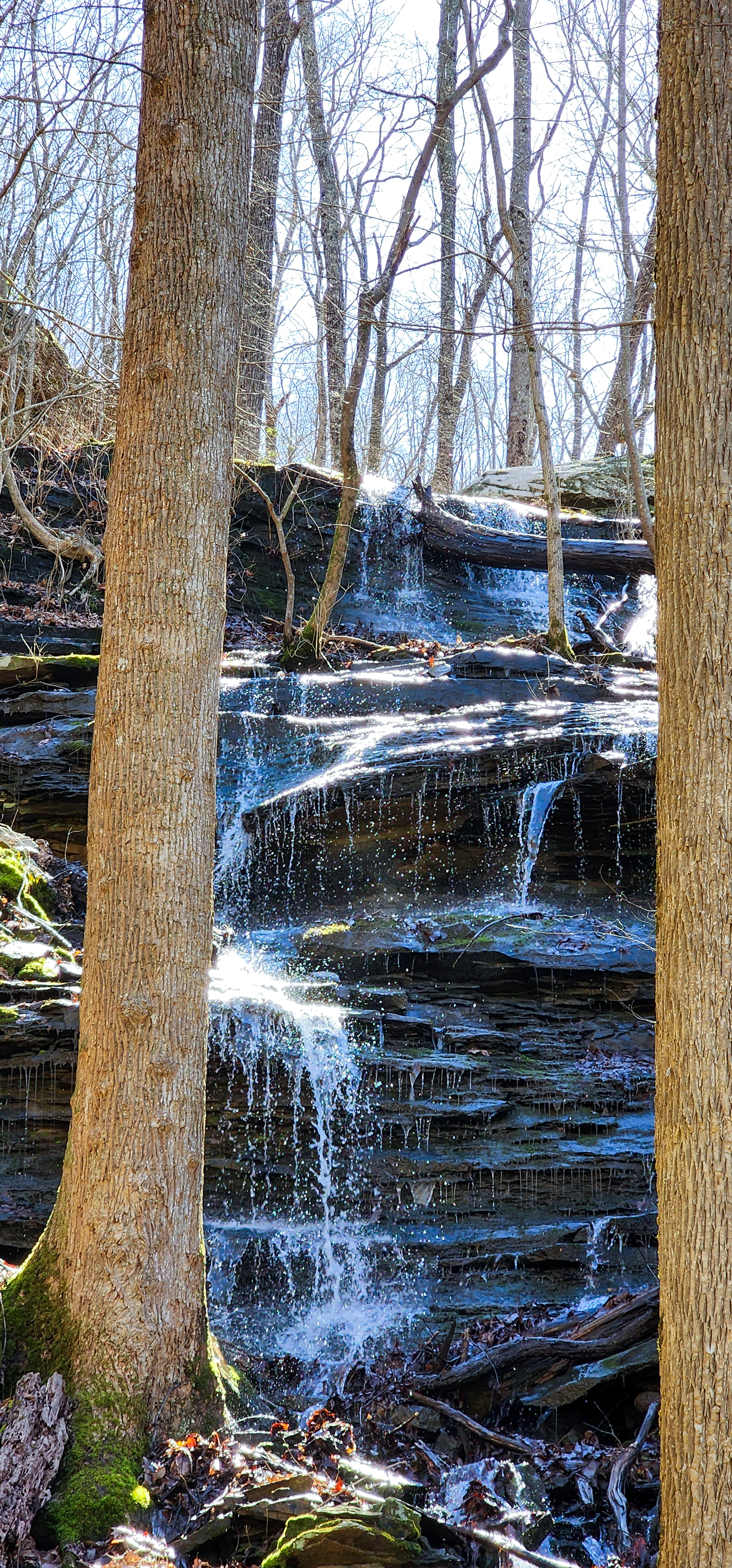
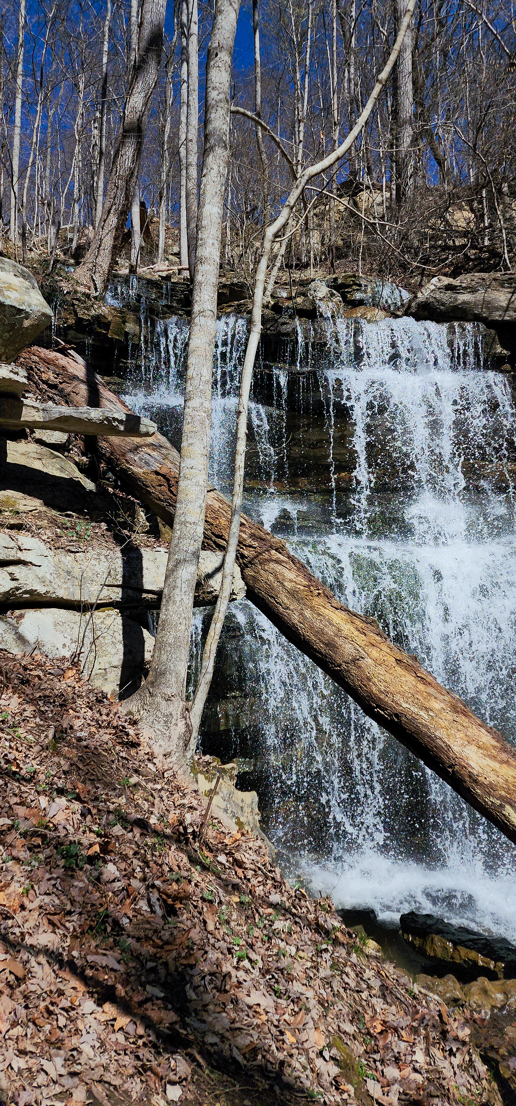
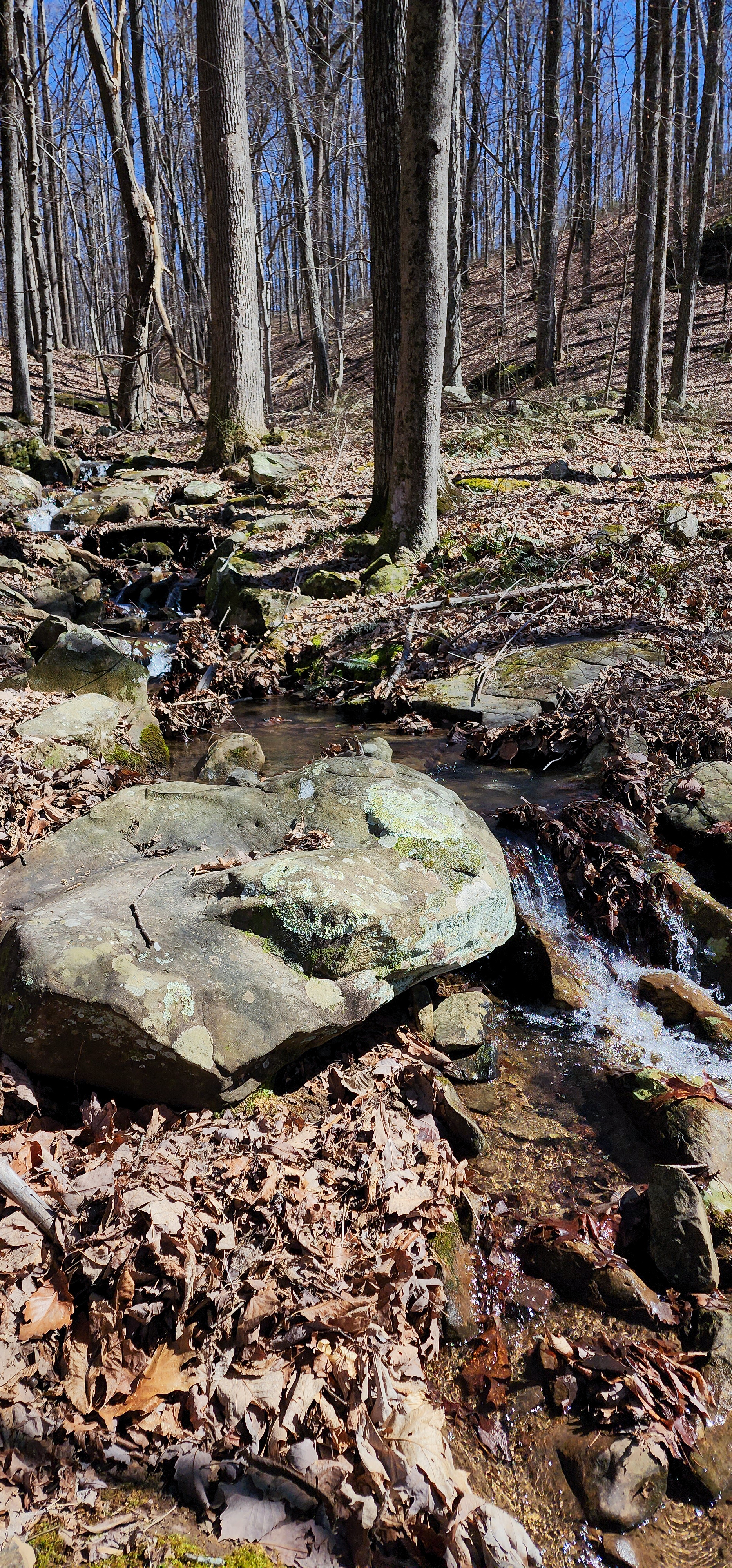
Morgans Falls was our next stop. It seems many people overlook the short hike off the loop to see this spot and those people are really missing out. Morgans Falls consists of two waterfalls that conjoin into a creek that you pass over via a wooden bridge. Both waterfalls and the creek are beautiful and well worth the extra half mile hike off the main trail (1 mile round trip). Plus you’ll only find the Morgans Steep view if you go this way too.

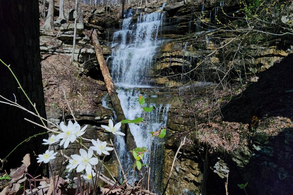
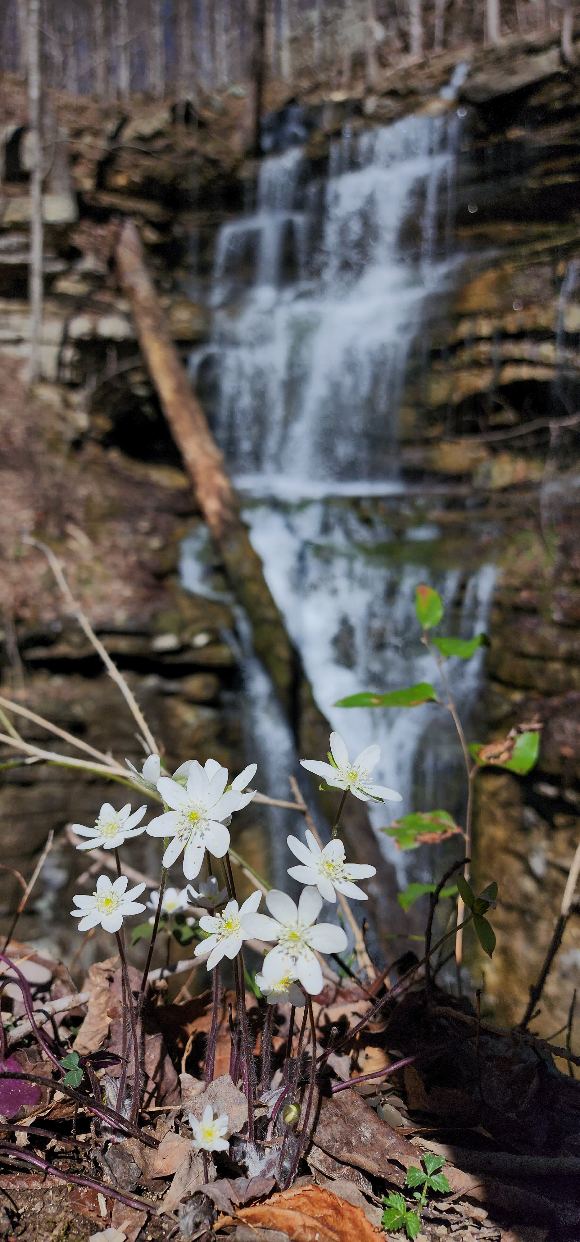
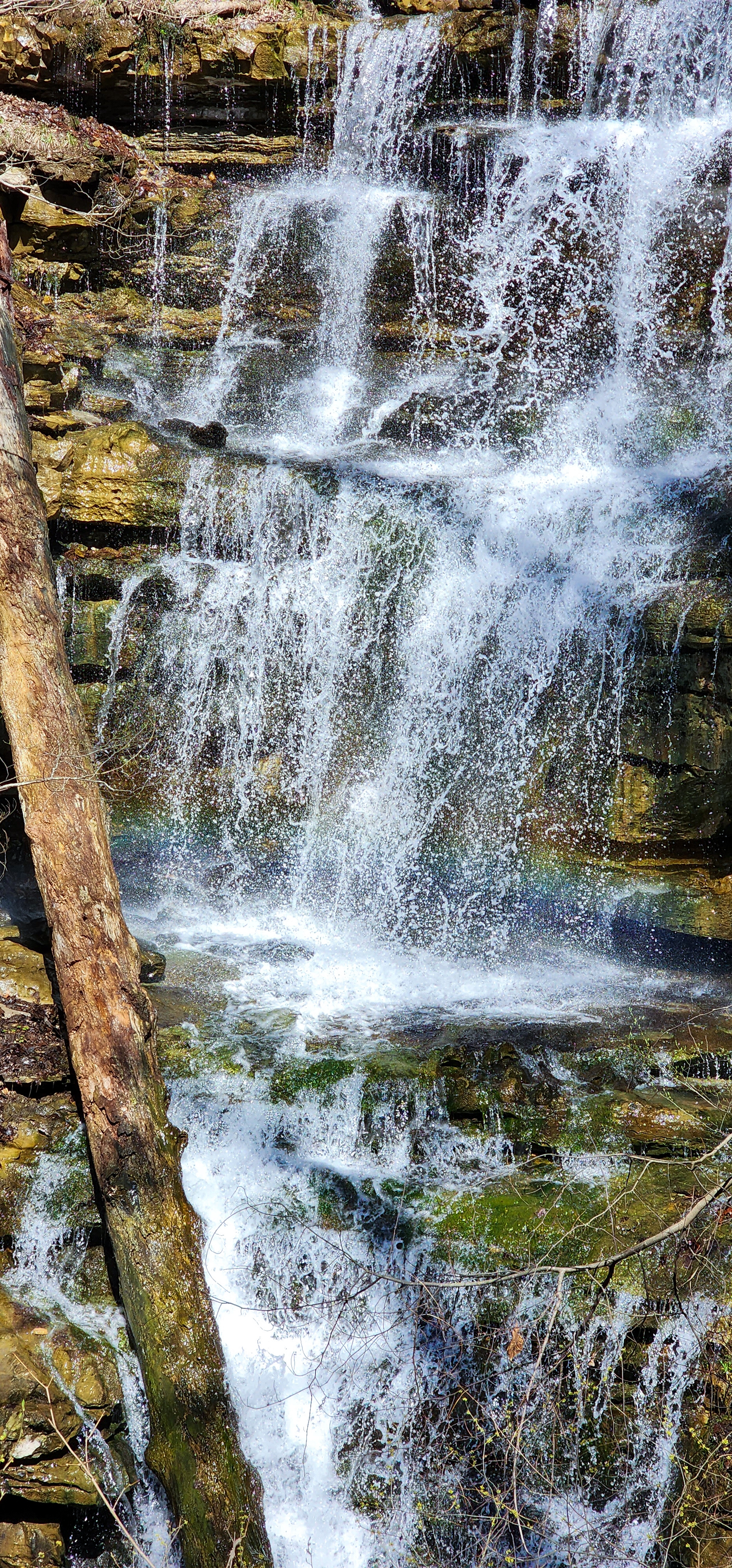
Bridal Veil Falls
The star of the show is Bridal Veil Falls. In fact, the only time we saw other people was while we were hiking to and from this waterfall. I believe most people hike to Bridal Veil Falls and nothing else around these trails. Which is unfortunate because there are so many Tennessee waterfalls around here to enjoy in addition to this one.
Bridal Veil Falls flows below the trail and disappears into a cave underground. Although there’s a way to climb down to the base of this waterfall, I do not recommend it. The walls and floor are slippery from the constant water spray so attempting this is dangerous. Plus cell signal is spotty here so taking risks is not advised in case of an emergency.
The Trails We Hiked
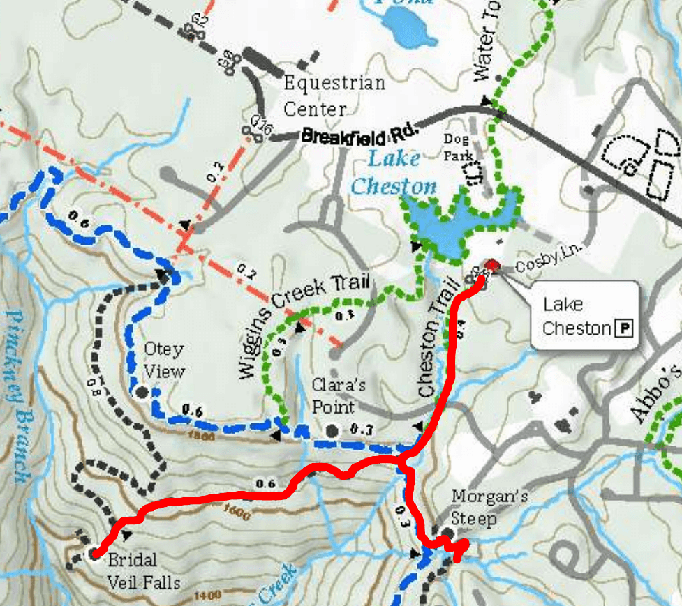
Where to Begin
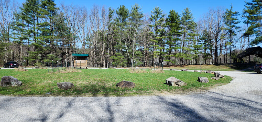
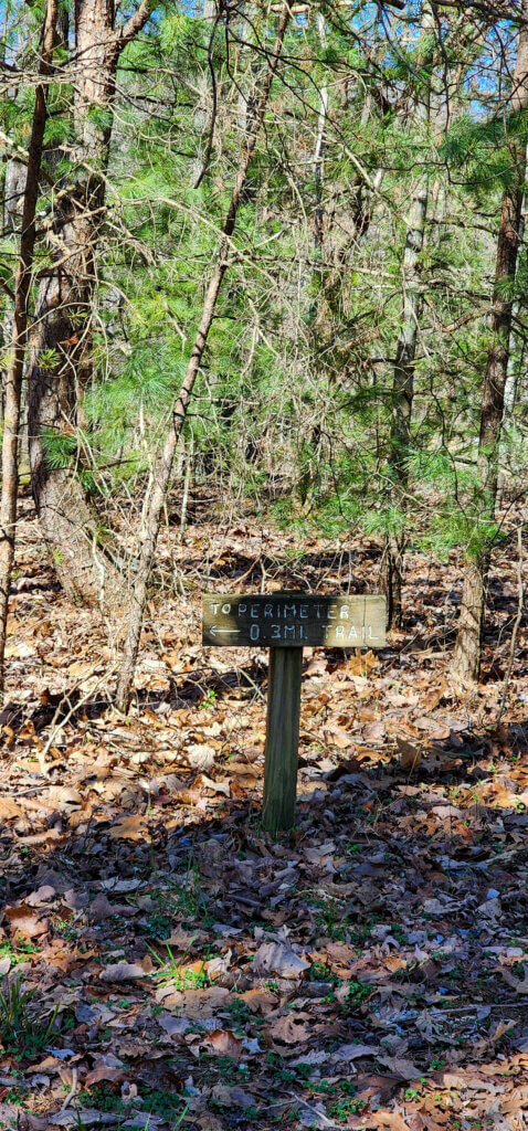
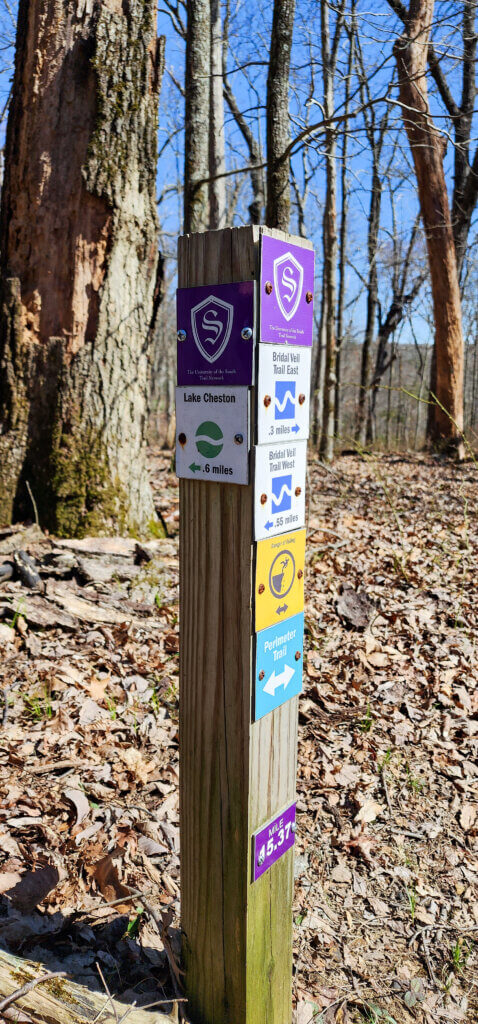
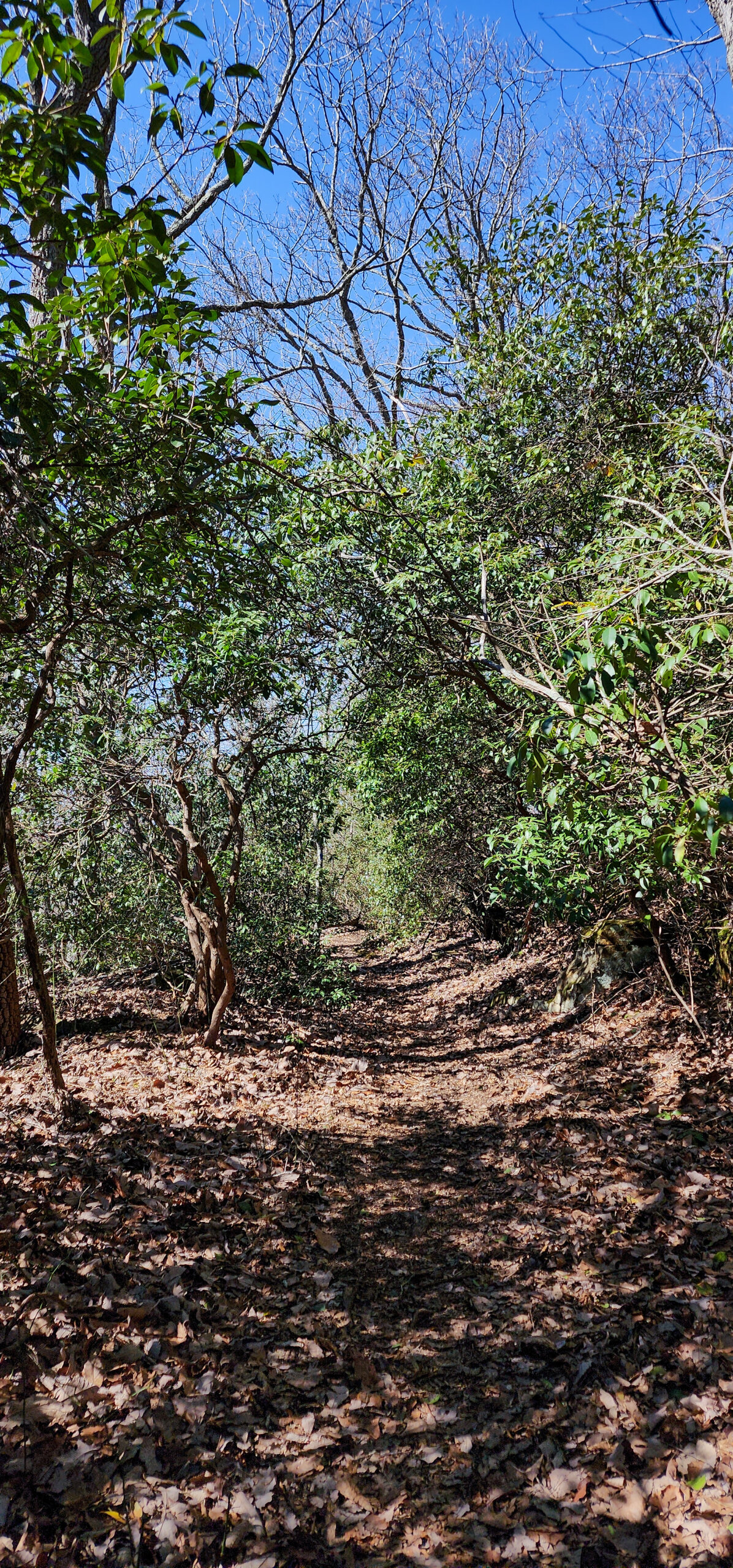
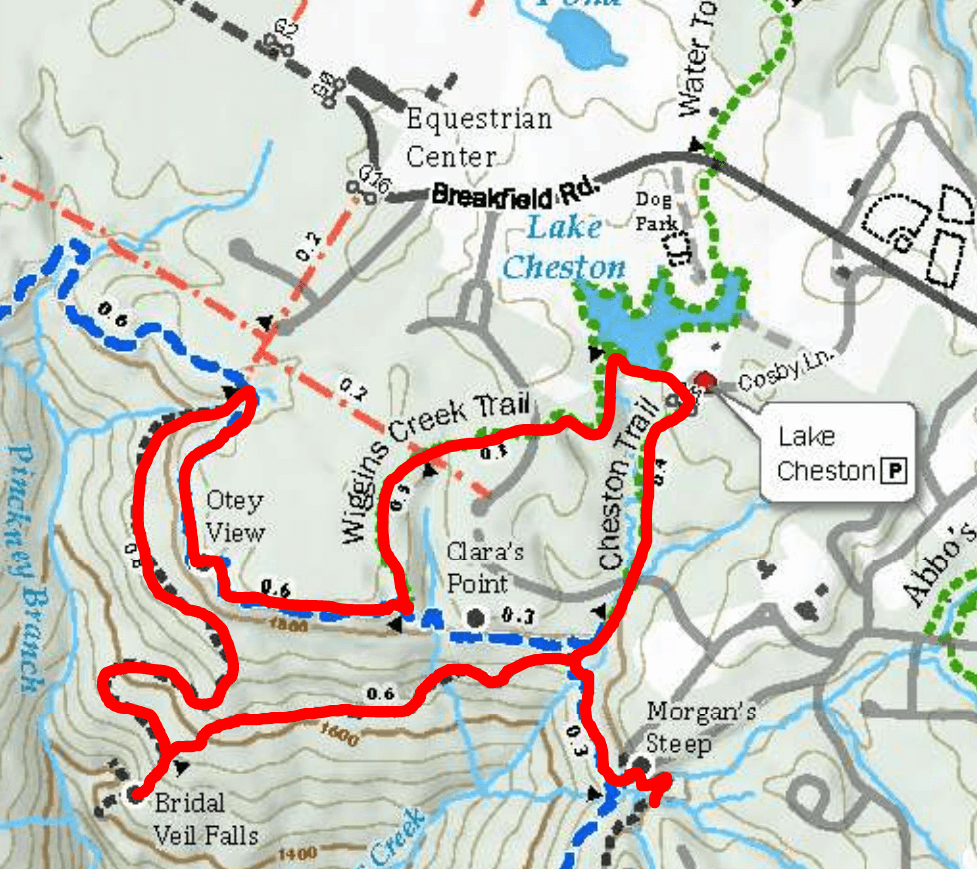
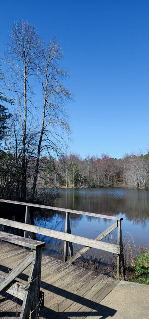
We started our hike at the main trailhead nearby that has public parking. This is at Lake Cheston, a good distance into the college campus. The route we took starts from the left of the parking lot. Follow the signs to the Perimeter Trail and take the Perimeter Trail until you reach the intersection post. Note that there’s neighborhoods here as well and the trail crosses the street here and later on during our hike.
Waterfall Decisions
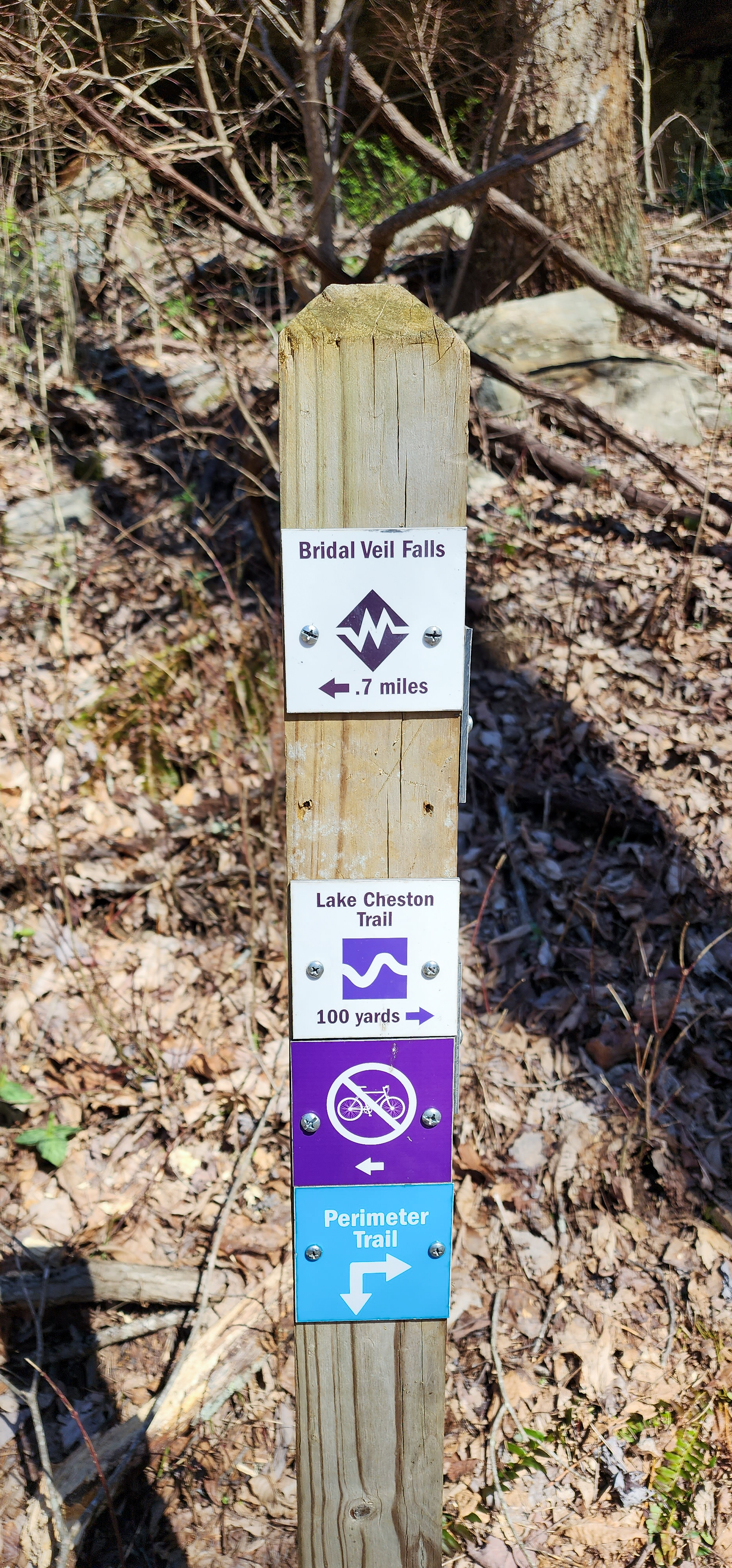
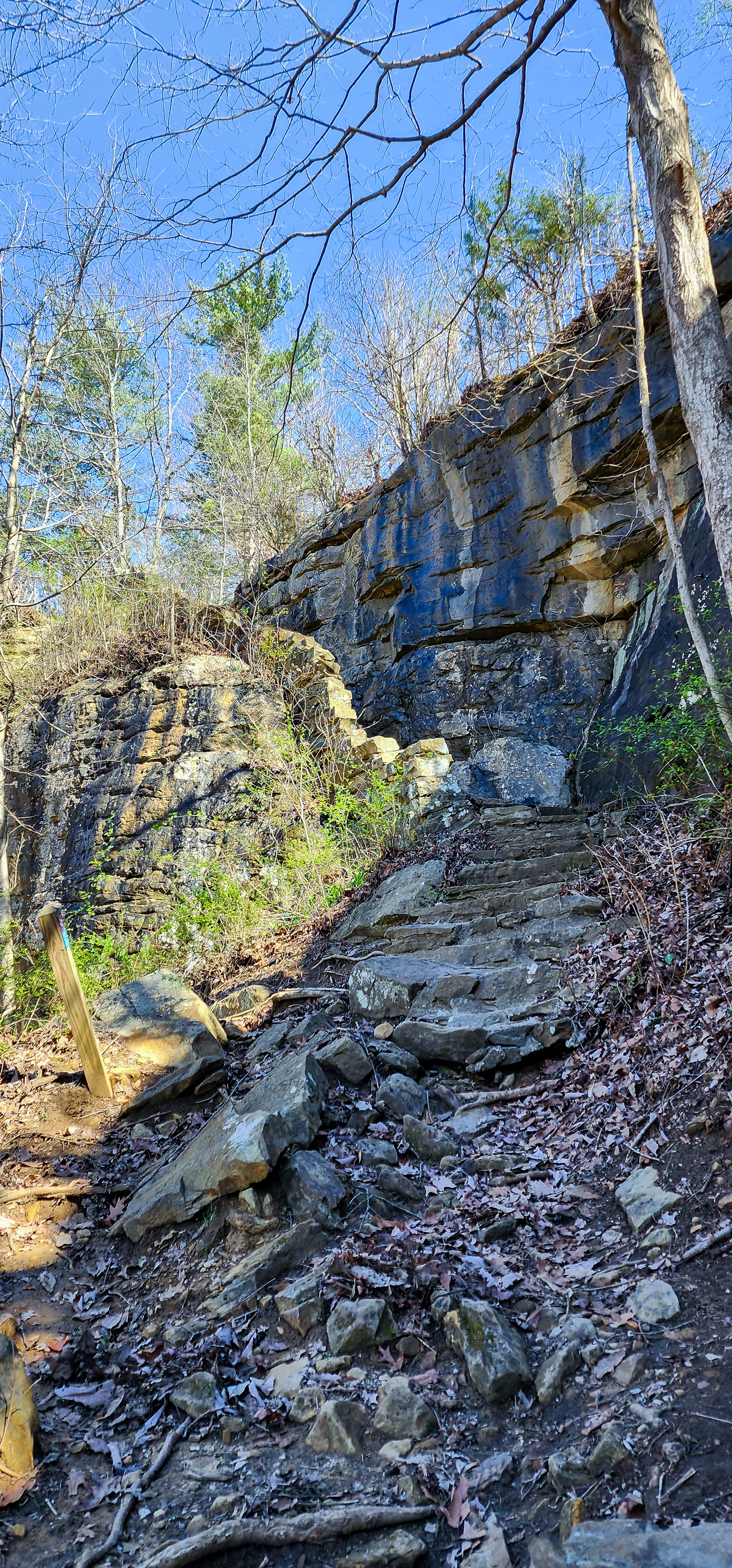
Once you reach the intersection, soon after the neighborhood street crossing, you can choose to go right, over the creek, and continue on to Bridal Veil Falls. However we chose to go left and continue on the Perimeter Trail to get to Morgans Steep and Morgans Falls. Once you reach Morgans Steep and are done enjoying the view, take the stone steps down to get to Morgans Falls.
After Morgans Falls, we turned around and headed back to that intersection to proceed to Bridal Veil Falls. Be mindful of trail intersections and the blazes you need to follow. Eventually the Bridal Veil Falls Trail will start to the right of the Perimeter Trail and you’ll be following white blazes instead of blue. Once you’re close to the waterfalls, a sign for the falls will be in front of you. Follow it to the left to find Bridal Veil Falls shortly after.

The Hike Back
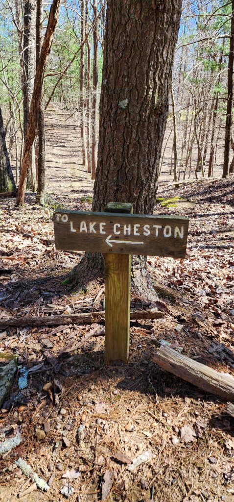
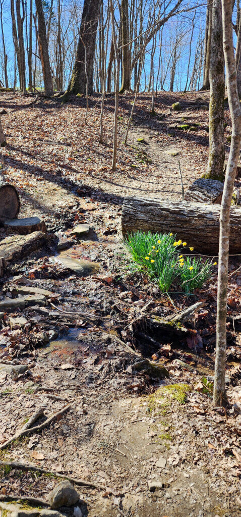
On our way back from Bridal Veil Falls, we could have turned right at the falls sign to return the same way we had come. But instead we opted to find Otey Overlook and make a full loop out of our hike so we went straight. We followed this trail until the four-way intersection where we turned right. There’s some wet creek crossings but nothing too bad. And as stated earlier, we never did figure out where Otey Overlook is. After this, just follow the signs for Lake Cheston to be delivered right back to the parking lot.
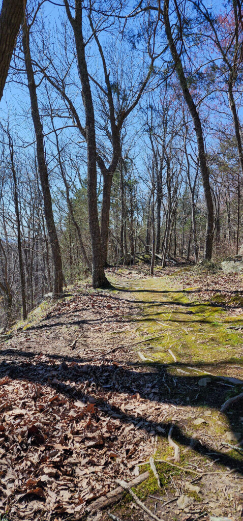
Overall, our hike was roughly 4 miles roundtrip. Of course you could make this much shorter by cutting out the second half unless you want the mileage. The trails are easy to follow with all the signage, although we struggled at one point to find a trailblaze on the back half hike to Otey Overlook. There’s not too much elevation change and the trails aren’t too difficult.
Tips for Your Hike at Sewanee
Honestly, I recommend cutting out the section beyond Bridal Veil Falls unless you just don’t want to hike back the way you came. The trails leading to Bridal Veil Falls are in much better shape and not as muddy. Below is a map of the route we took and below that is the route I recommend instead.
As I usually suggest, arrive early. We started our hike early in the morning so parking was not an issue. But by the time we made it back to the car, the parking lot was already full in the afternoon.
Be mindful that this hike is on a college campus and neighborhoods are nearby. Yes, it’s a great time out in nature, but civilization is not too far away either.

In Closing
I’m amazed by Sewanee hiking. It’s not too far from Chattanooga and seems to be lesser known. With so many miles and acres to explore, this hike only scratched the surface. I cannot wait to return and hike more here in Sewanee.
Be sure to watch the video to see this hike more visually. And check out the overall map to see what other hiking possibilties are in Sewanee. Let me know your thoughts below. Until next time, enjoy exploring Chatt!