Signal Point and Edward’s Point are two popular hiking destinations in Chattanooga that can be hiked in one day.
Have you visited Signal Point? Have you hiked to Edward’s Point? Both of these Signal Mountain destinations are highly sought after for their breathtaking views of the Tennessee River gorge. Keep reading to learn tips on how to hike from Signal Point out to Edward’s Point so you can enjoy all the best views that Signal Mountain hiking has to offer. And, learn other hiking options for this popular spot.
Starting at Signal Point
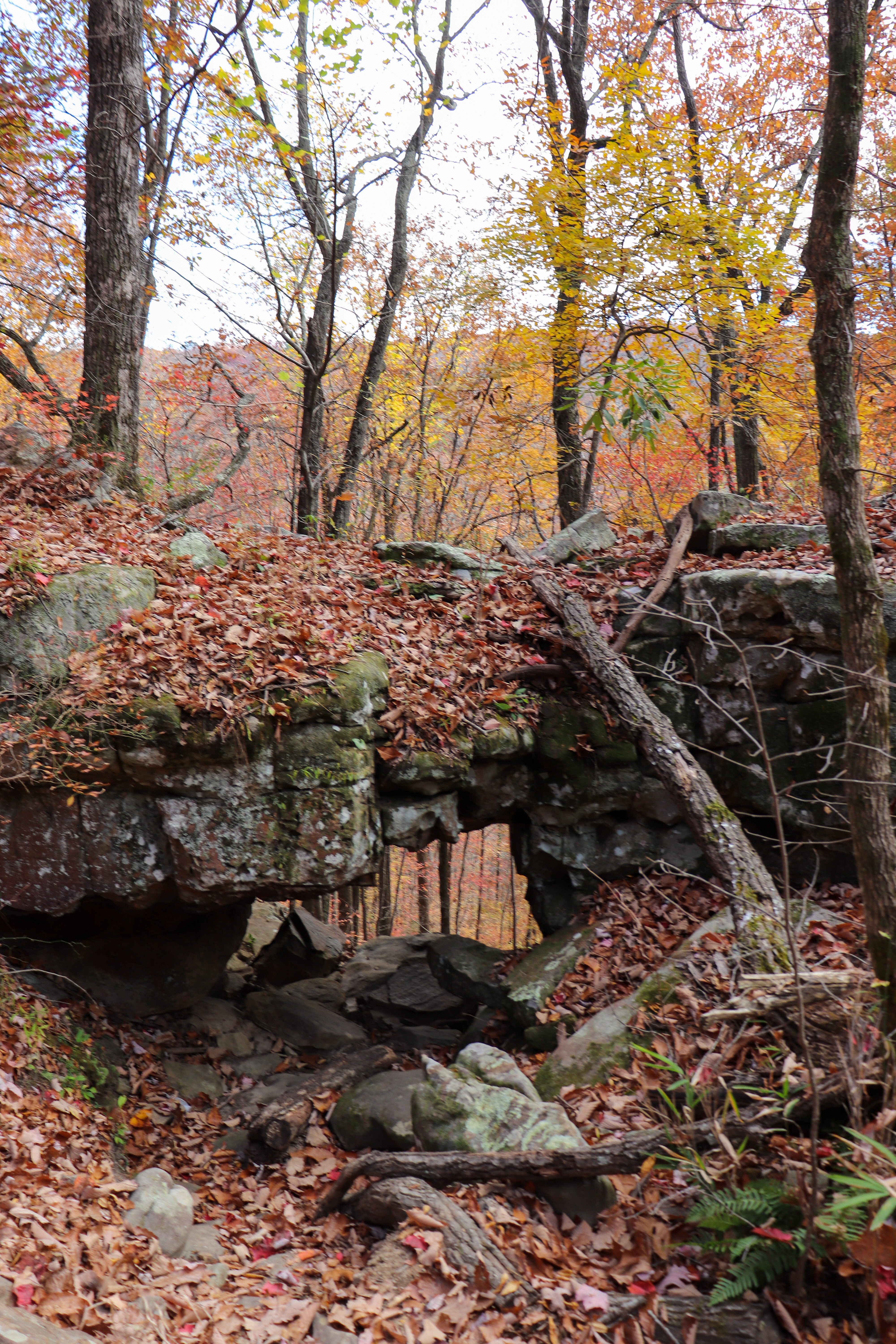
Signal Point is part of the Chickamauga and Chattanooga National Military Park and has a plaque about Civil War history. There’s also a small gazebo with a picnic table to enjoy at Signal Point before starting the trail. And there’s restrooms, but they’re closed in the winter.
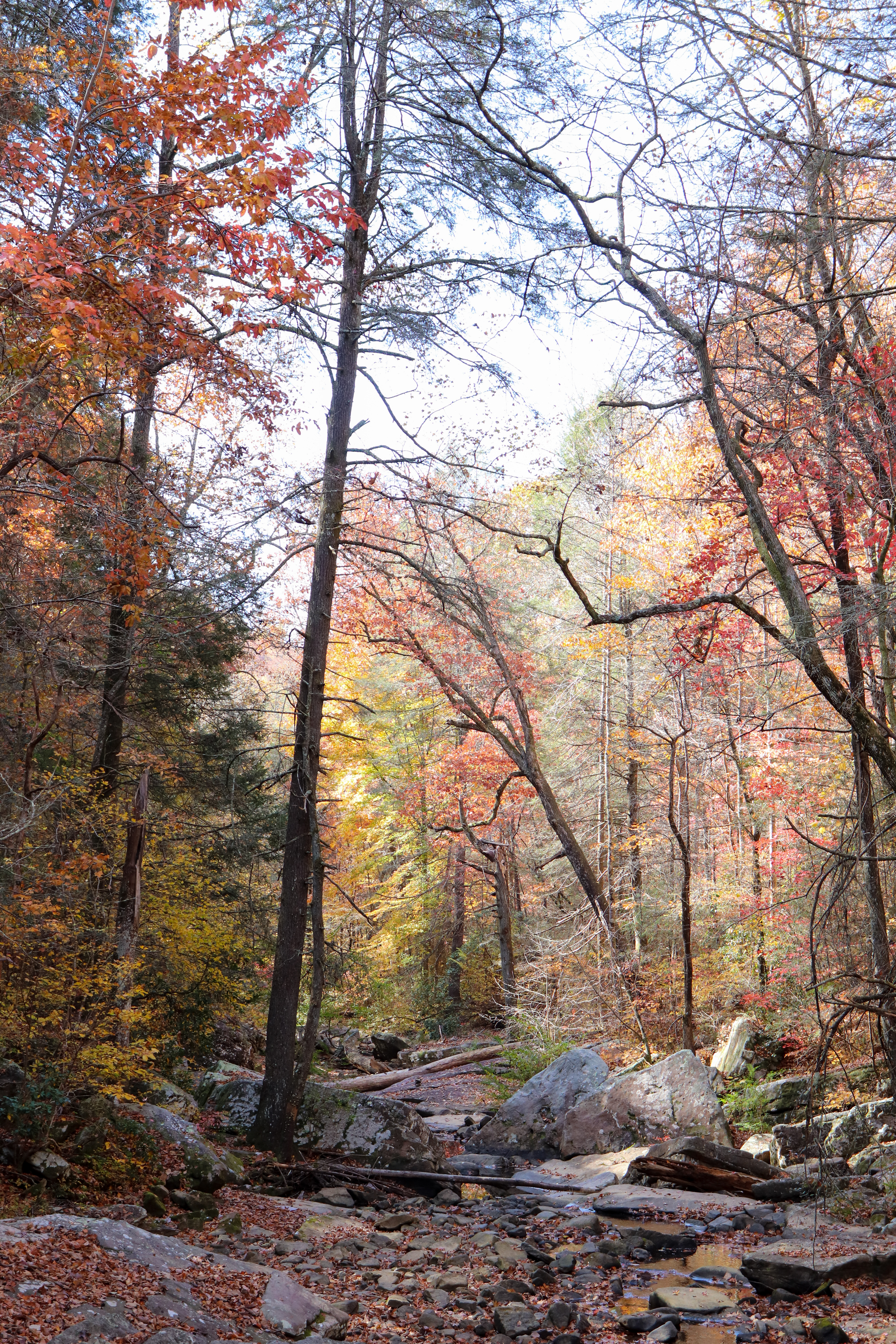
The hike starts to the right of the Signal Point overlook. Be careful in this first section as most of it consists of man-made ramps and steps which are quickly decaying. They have replaced parts, but this section still needs a lot of work.
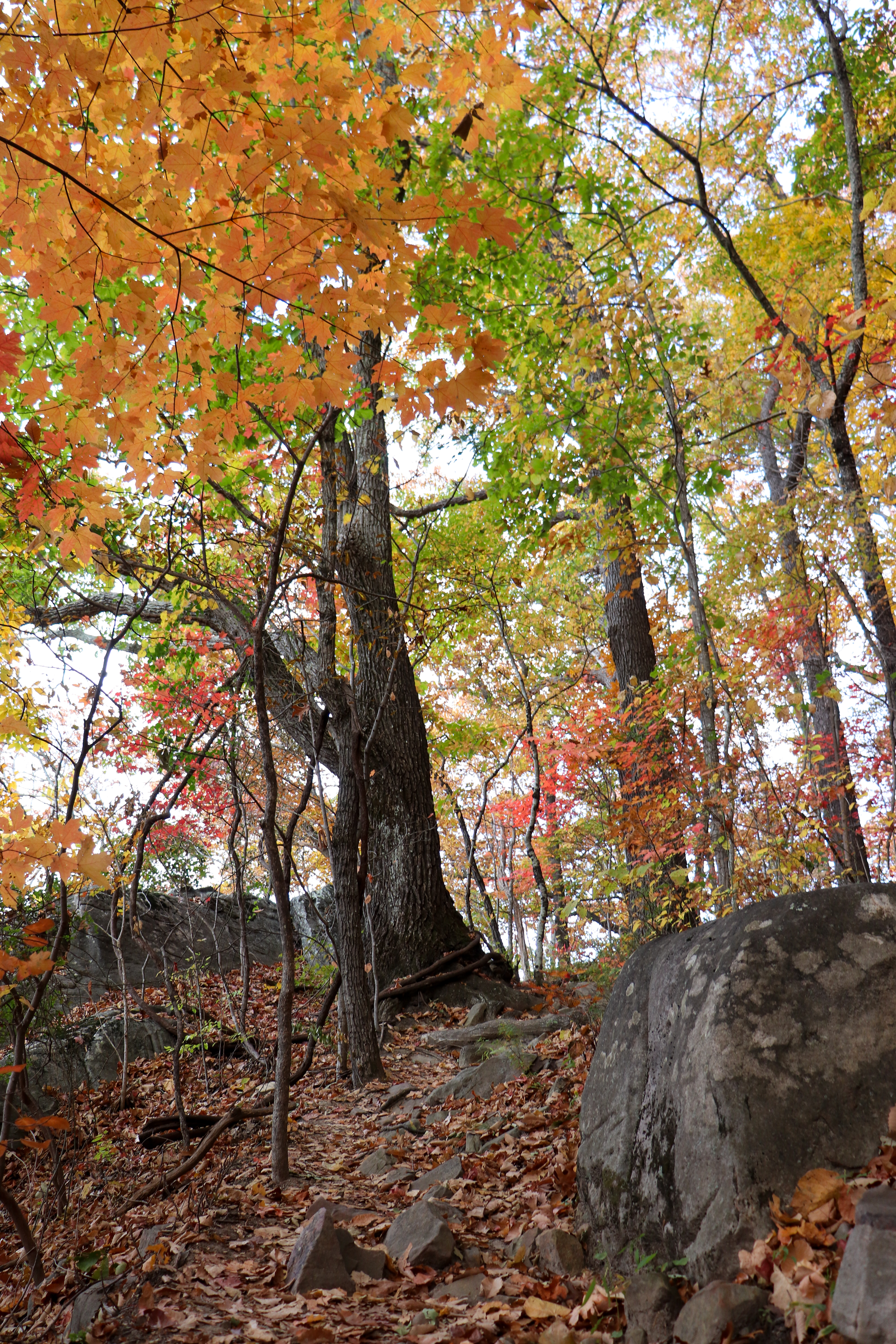
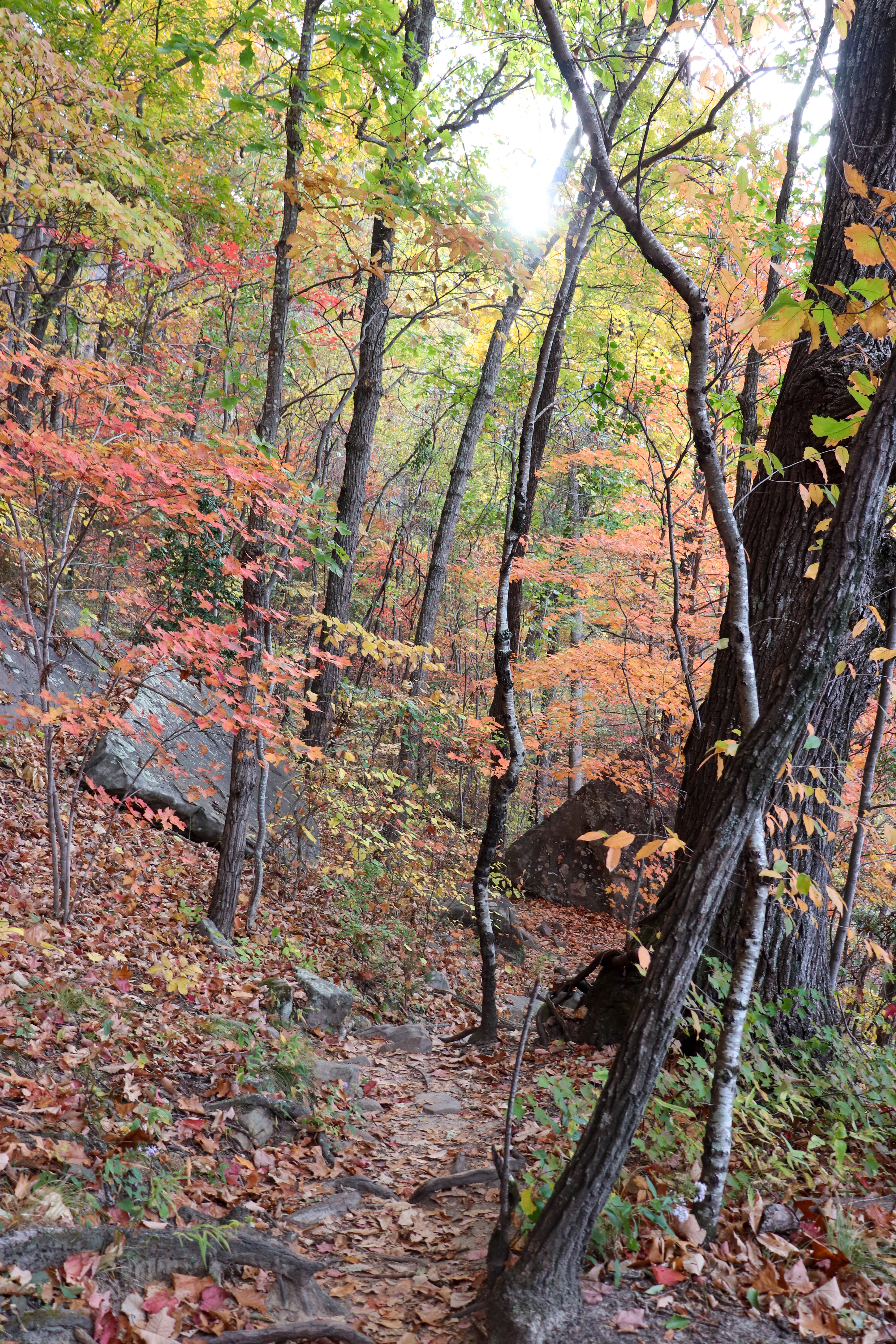
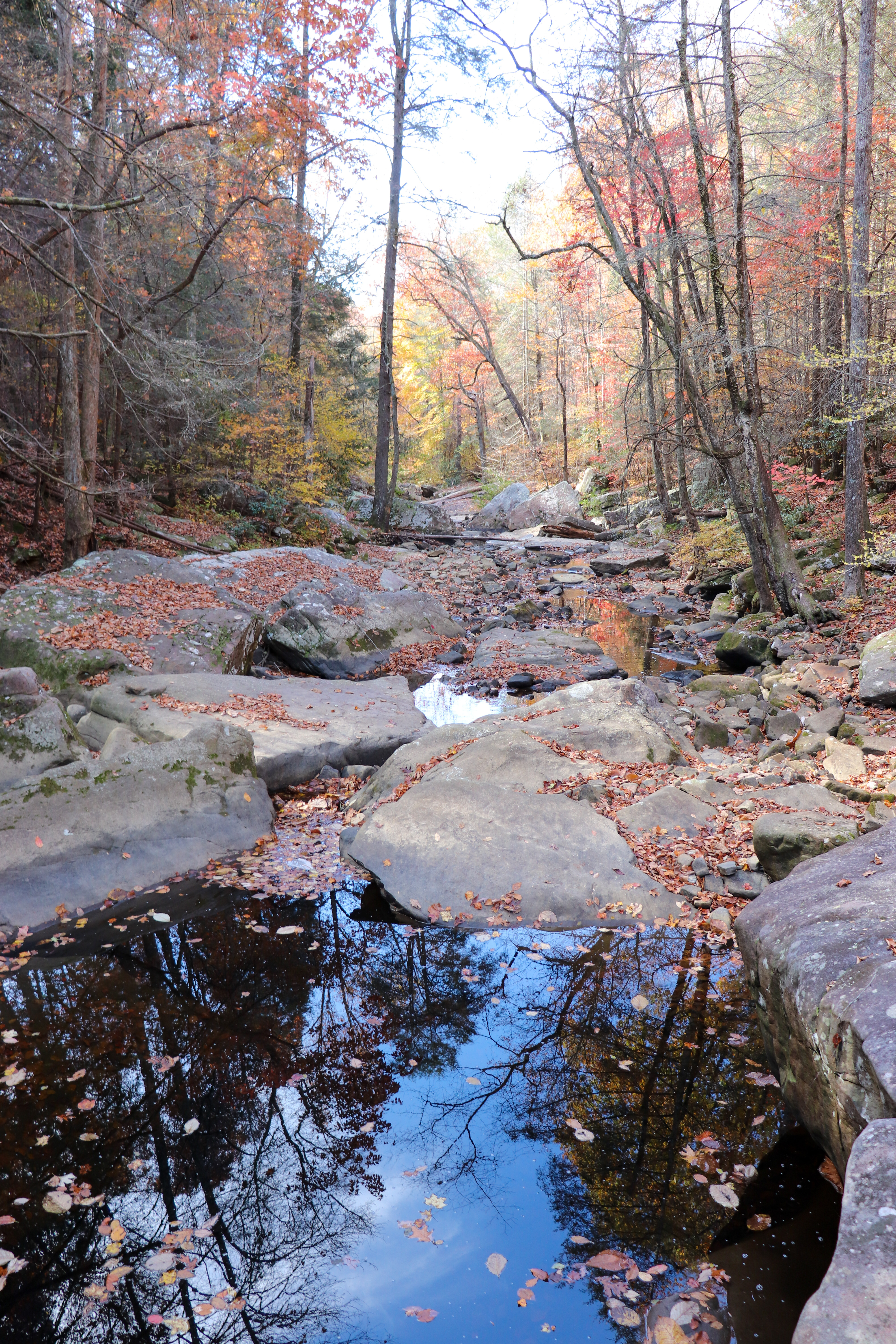
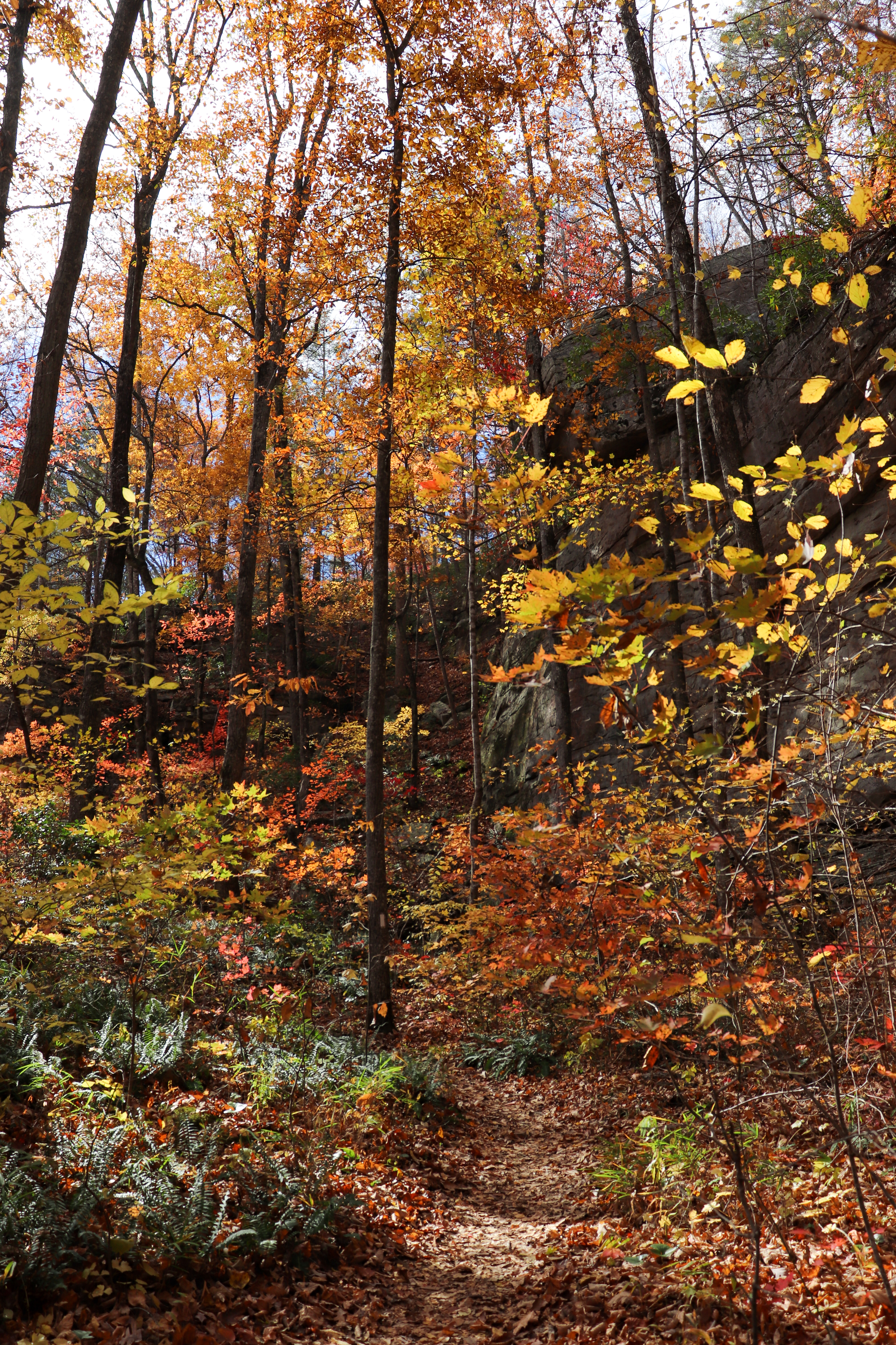
Follow the trail out about a third of a mile and you’ll arrive at the Julia Falls Overlook. After taking in the views here, continue down the trail to the right. From here the trail becomes a little more challenging with some rock fields to cross and a couple of steep sections. Eventually you’ll reach the suspension bridge.
Hiking to Edward’s Point
Cross the rickety suspension bridge to begin the hike to Edward’s Point. The hike starts with some steps uphill before leveling out some. Then there’s another uphill section before it levels out again nearing the top.
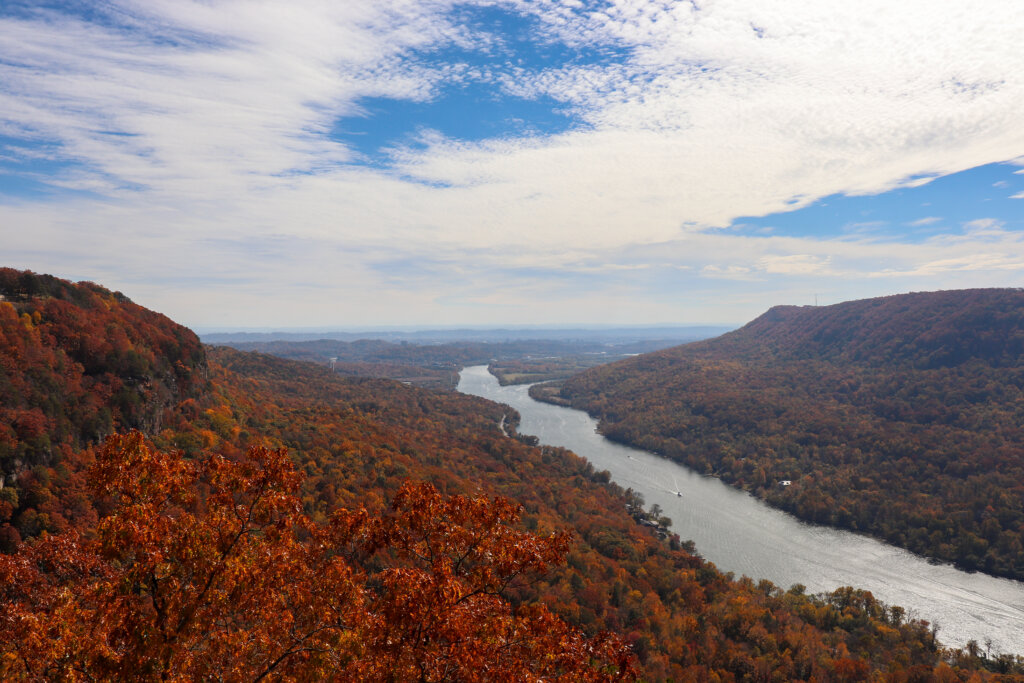
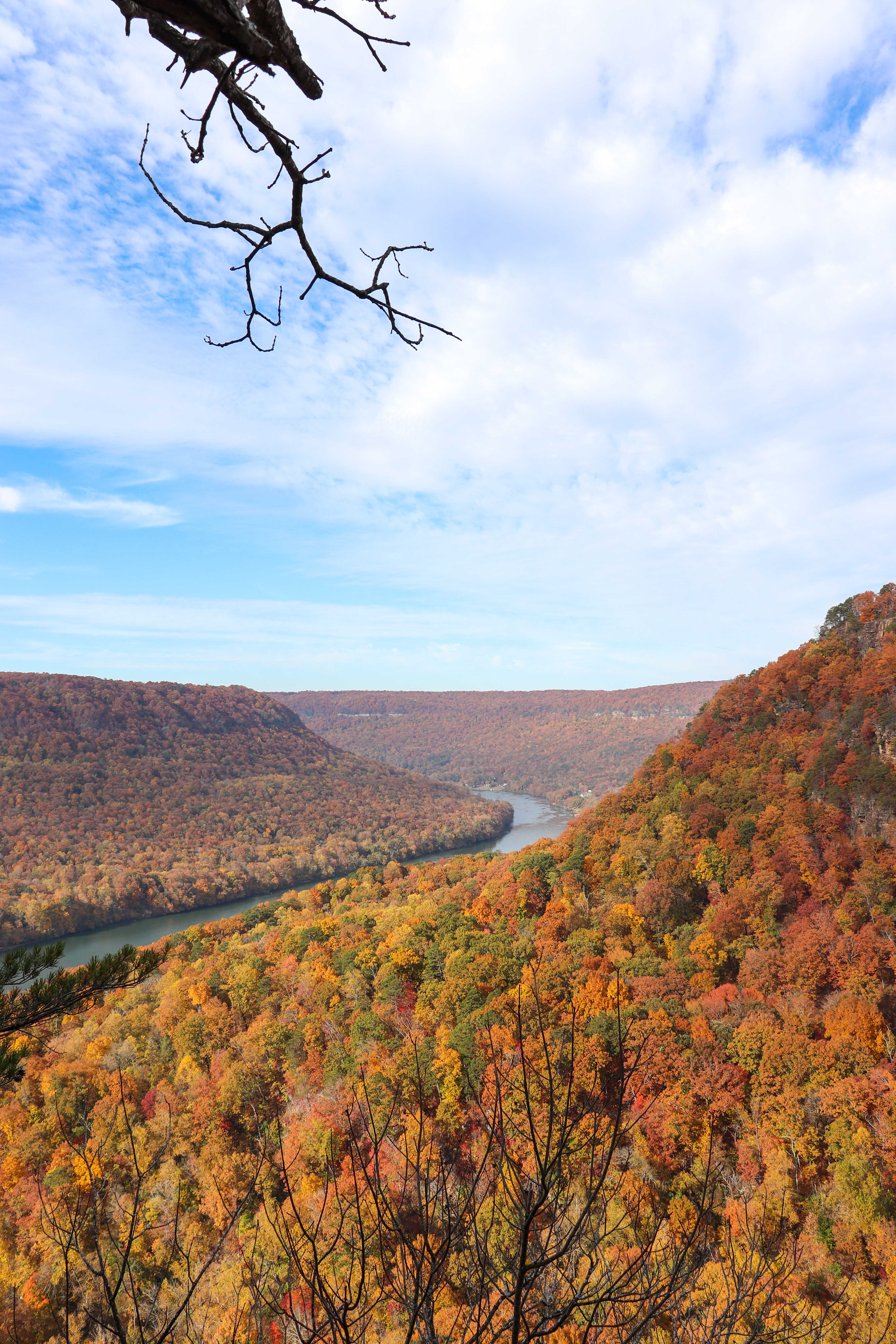
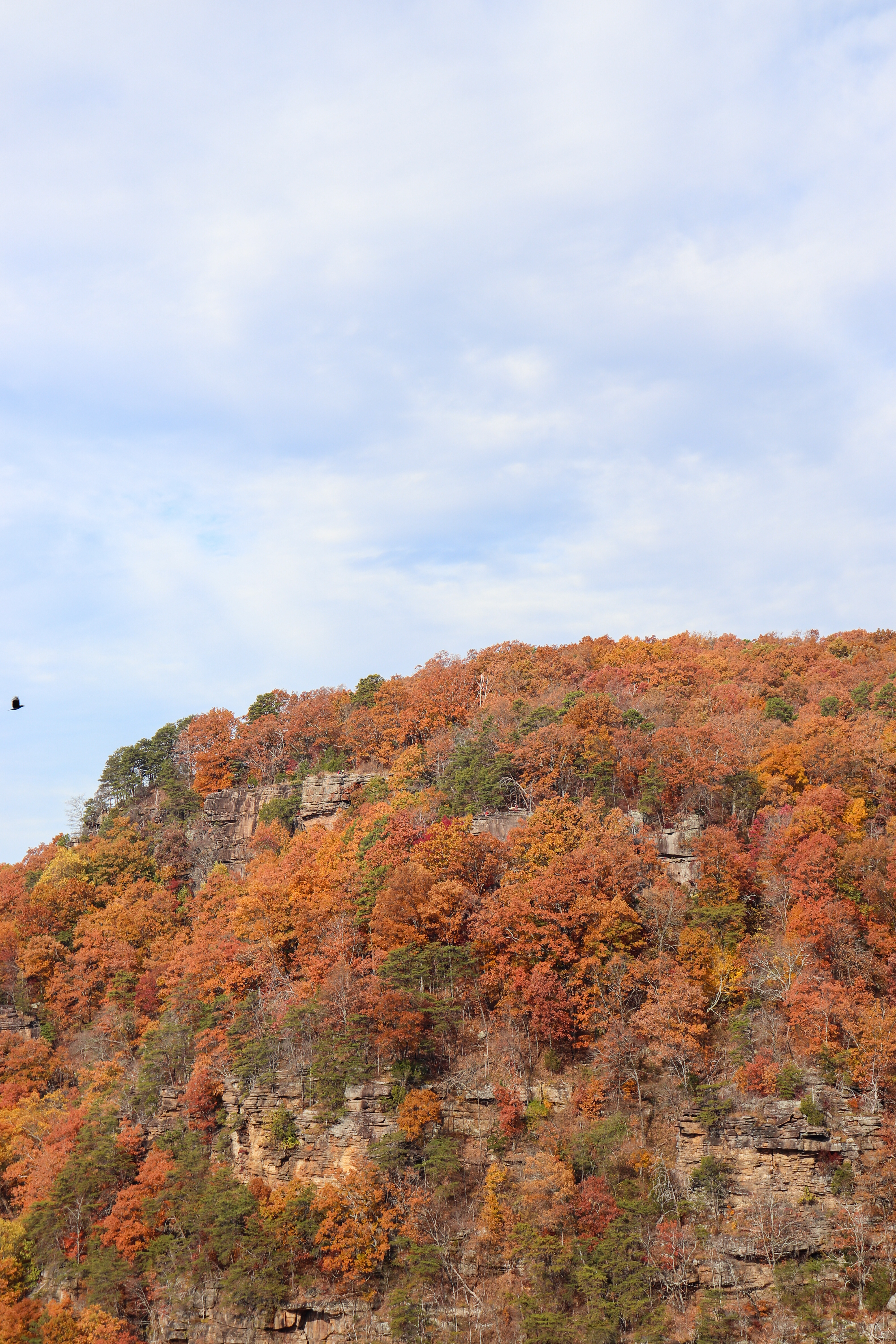
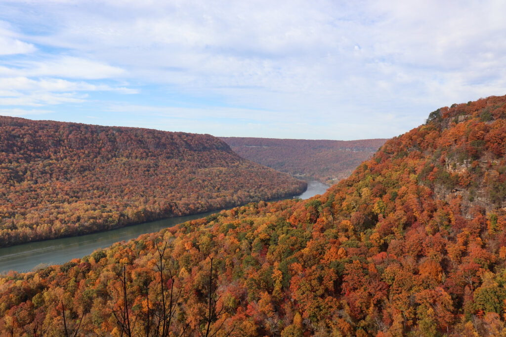
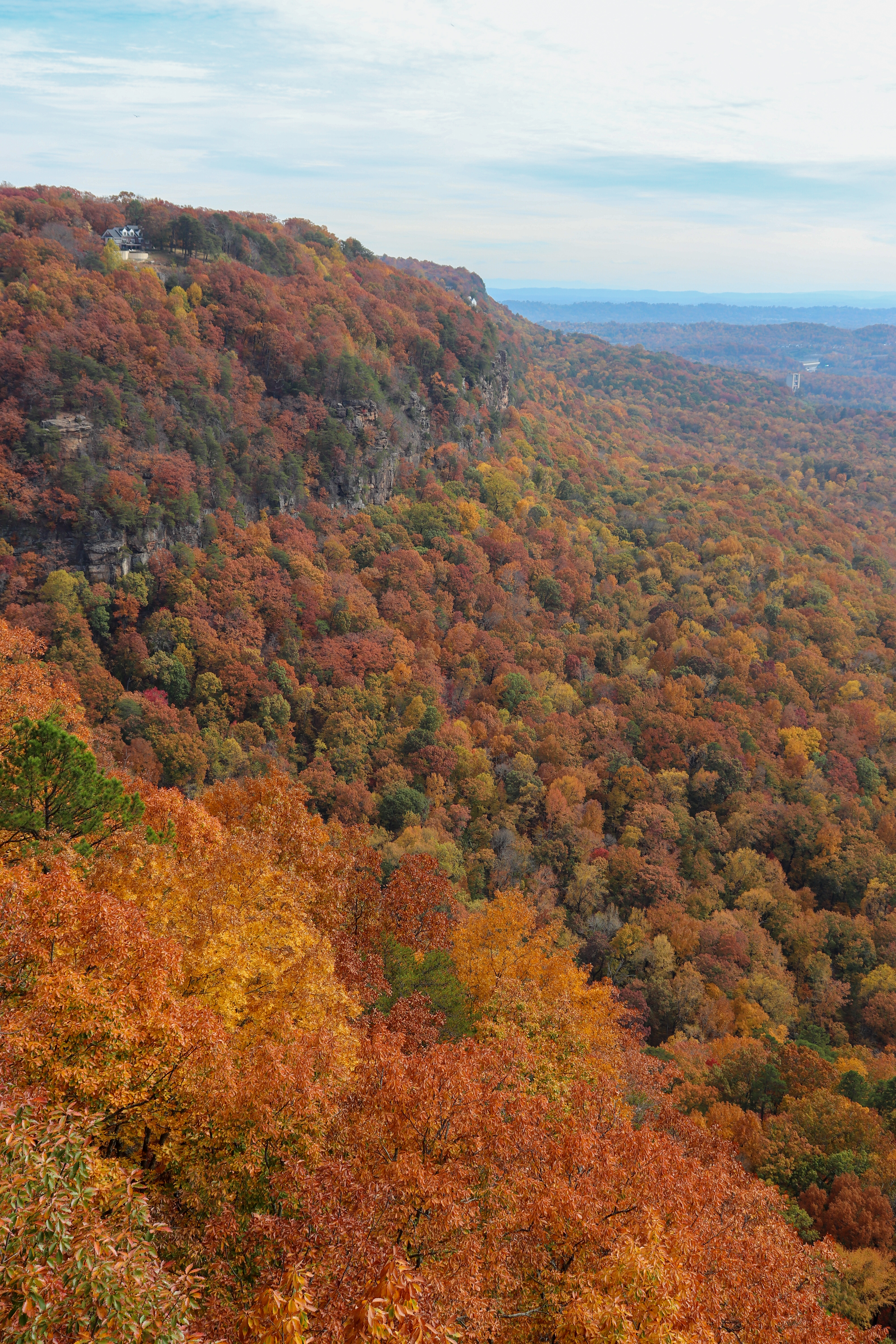
At the top the tree cover is lacking and you’ll soon be able to see some views. There’s still a distance to go to Edward’s Point though. Eventually you’ll arrive at a bluff that overlooks the Tennessee River gorge and you can see downtown Chattanooga in the distance. However, don’t stop here. The trail continues on directly behind this bluff. A little further and you’ll reach a bigger bluff with the same overall view but wider. From what I can tell though, Edward’s Point is actually the smaller bluff before this one.
The Rainbow Lake Alternative
Hiking back the way you came, when you cross back over the suspension bridge you have a couple options. You can hike all the way back to Signal Point the way you got here. Or, you can go left and take the trail up to Rainbow Lake and then the trail to that trailhead. Once you reach that parking lot, follow the road to the right. After rounding the corner you’ll walk past the Alexian Village. Right after that, turn right onto Signal Point Road which will dead end back to the parking lot at Signal Point.
The Rainbow Lake alternative makes the overall return hike easier and shorter by cutting out half the length it takes to hike back to Signal Point. Yes, you’ll still have to hike uphill, but the trail is easier and doesn’t rely on steps that are falling apart. Rather, this trail is more of a ramp. And instead of hiking on the trail the last bit of distance, you’ll be walking on a flat road. Another option to make the overall hike shorter is to simply start and finish at the Rainbow Lake Trailhead.
Tips for Hiking on Signal Mountain
Signal Mountain is a popular Chattanooga hiking destination. So, be mindful of what to expect and how to beat the crowds.
Day and Time to Hike
Since both the Signal Point and Rainbow Lake trailheads are so popular, the best time to plan a hike starting at either spot is on a weekday and early in the morning.
Although parking can be limited at Signal Point, you can park on the inside edge at the top of the circle and on the right side of the drive in right before entering the parking lot. But don’t park anywhere it’s specified not to park. At Rainbow Lake you can only park in the small parking lot.
Seasons to Hike
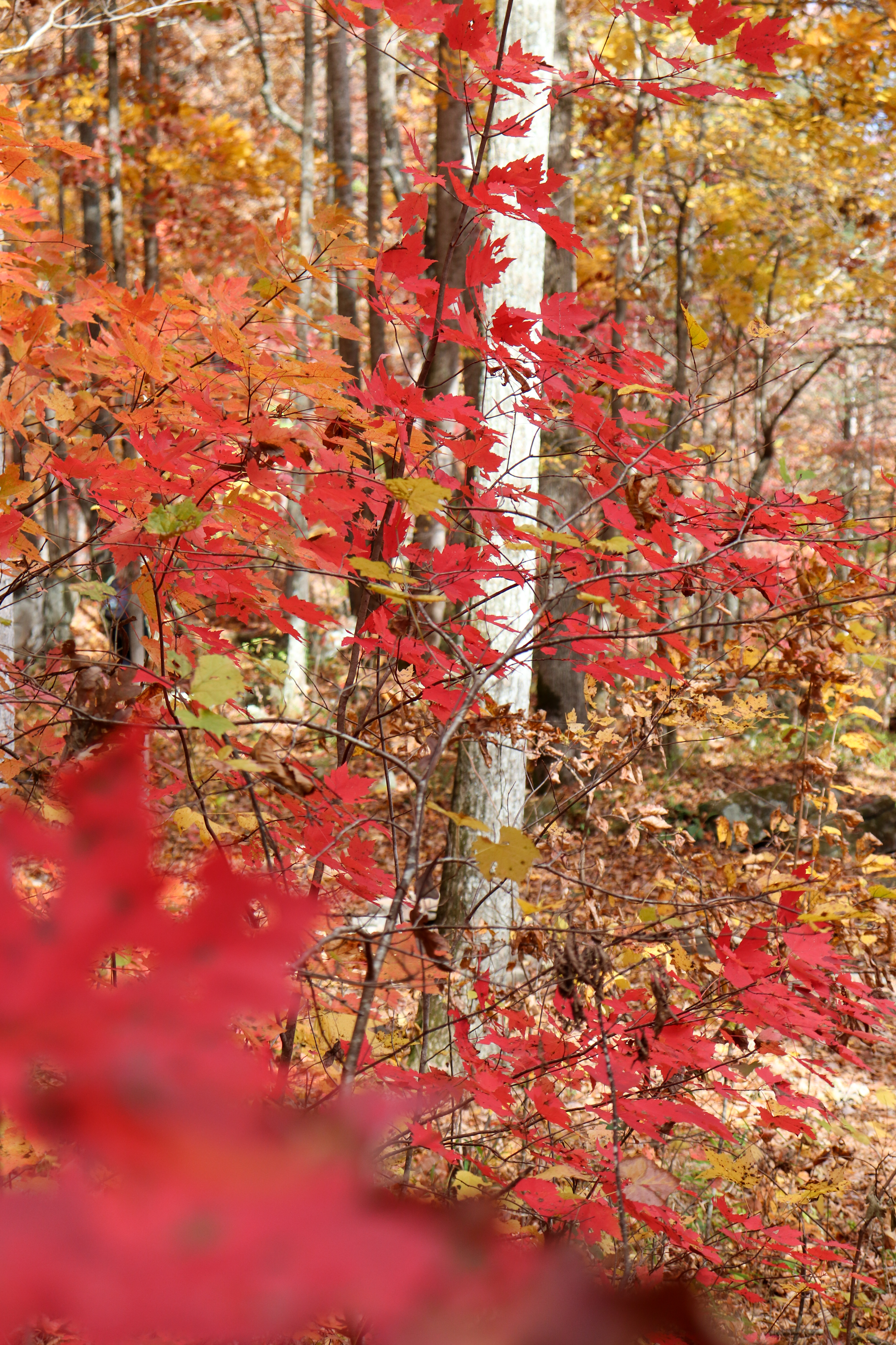
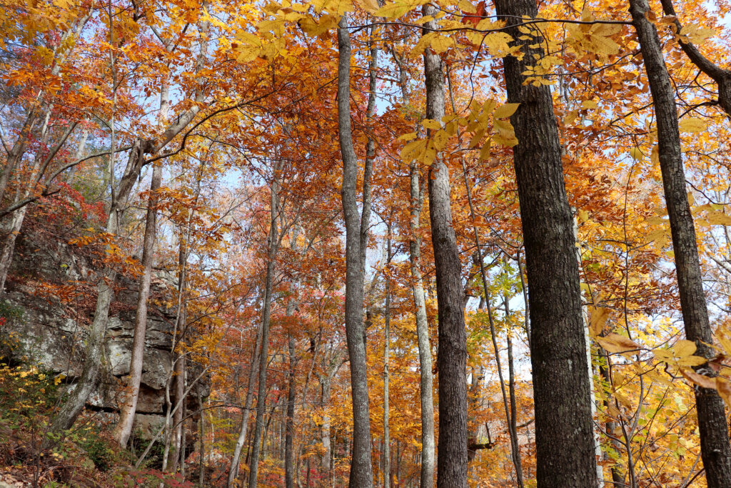
These trails are most busy during the summer months and for fall colors. But that doesn’t mean you can’t enjoy the beauty year-round that these spots have to offer. Just be sure to arrive early on a weekday during the busy season. If you arrive early enough, you can get in on a weekend too. And in winter and early spring, you can show up a little later on a weekend. But these spots will almost never be empty no matter what time of the year you visit.


Difficulty of the Hike
The hike from Signal Point to Edward’s Point and back to Signal Point is about 5 miles round trip with roughly 300 feet of elevation loss and gain. Compared to other hikes in the area, this one is not difficult. The challenge comes in the distance and the small technical sections with rocks. Overall, I would not say this hike is easy, but I also wouldn’t say that it’s hard. It falls somewhere in between those two.
Closing Thoughts
Signal Mountain offers plenty of hiking combinations from both the Signal Point and Rainbow Lake trailheads. In fact, I’ve also hiked from Signal Point to Rainbow Lake before and found it to be a worthwhile, shorter version that doesn’t visit Edward’s Point. There’s also a loop trail around Rainbow Lake which I believe is less popular so you might be able to get away from any crowds here. Overall, even though this is a popular Chattanooga hiking area, there’s room for everyone to get out and enjoy these trails and nature.
Let me know in the comments below if you’ve been here and what your favorite hiking route is on Signal Mountain. And be sure to watch the video of this hike to see the beautiful Chattanooga fall colors that can be enjoyed for a couple of weeks each year on this trail. Until next time, enjoy exploring Chatt.