Take a late summer hike from Signal Point to Rainbow Lake where you can cool off before heading back to your vehicle.
Signal Point has become a very well-known Chattanooga location. But did you know there’s a lot more to this area of Chattanooga? This hike features beautiful views and a refreshing creek at the end. I’ll share some key tips with you so that you know what to expect as you plan for your hike here.
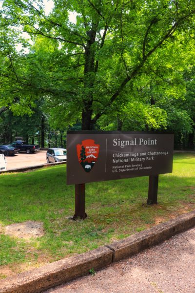
Signal Point
Signal Point is part of the Chickamauga and Chattanooga National Military Parks. This point was used to send signals during the Civil War to Union soldiers and later used as an observation point to keep an eye on the Confederate troops. There’s a plaque at the point to tell you more about the history of this spot.
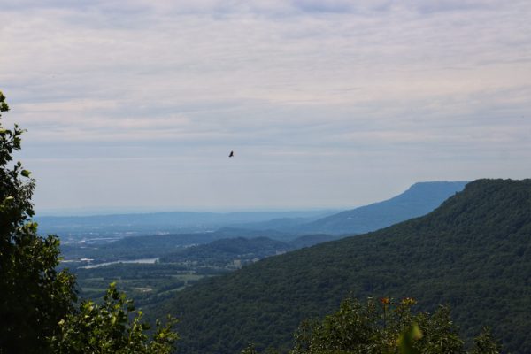
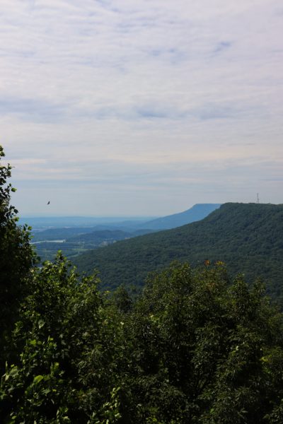
Today you can see the Tennessee River below and Lookout Mountain further to the left, right above downtown Chattanooga. Across the river is Elder Mountain which is also home to TVA’s Raccoon Mountain. There’s a covered picnic table area as well as a paved walkway with steps down to Signal Point. There are also restrooms at this spot, although they are closed during the winter. This spot is also a great sunset vantage point during certain times of the year.
Cumberland Trail at Signal Point
The Cumberland Trailhead for Signal Point starts at the right end of the rock wall that lines the overlook. Follow the dirt trail down to the first steps of many at the beginning of this hike. Here you’ll see the trail map display and see the mileage to each of the landmarks. Today, I will direct you to the Julia Falls Overlook and Rainbow Lake. But you can go even further from here if you wish. I will be breaking down this hike into two sections. Section one, leading up to the Julia Falls Overlook and section two, leading up to Rainbow Lake.
Signal Point: First Section Hiking Tips
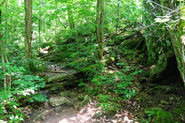
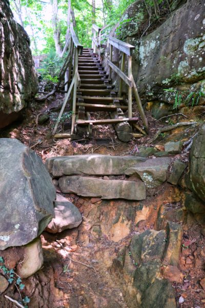
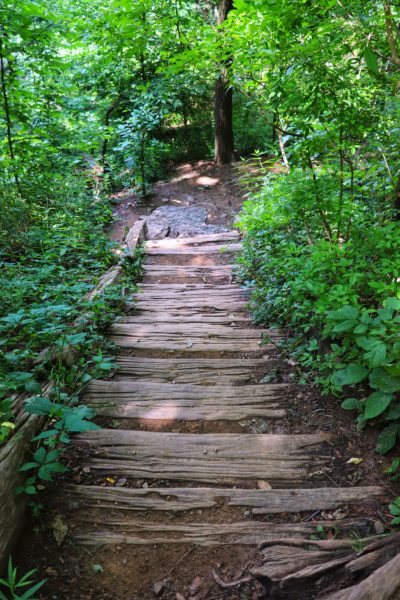
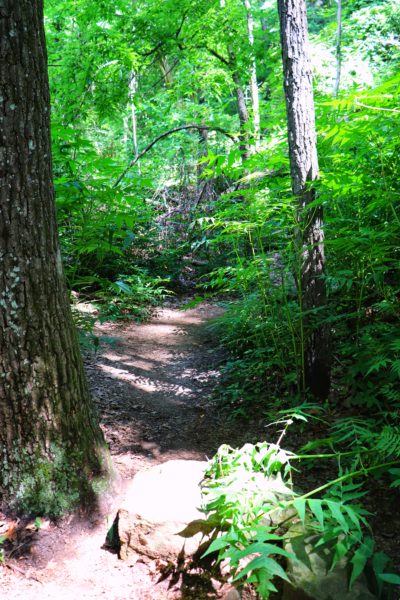
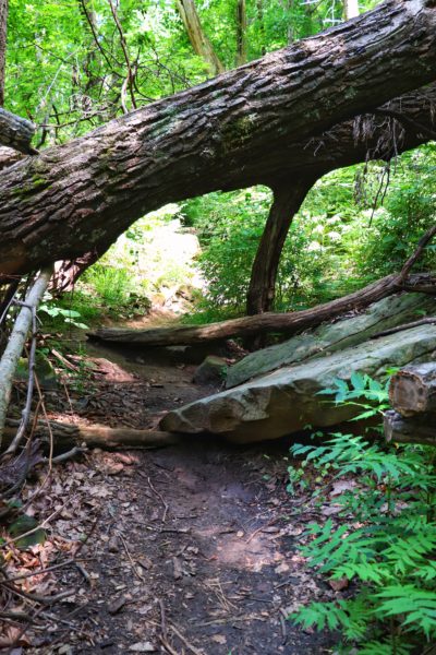
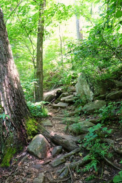
Starting the hike down from Signal Point, be cautious as there are a lot of steps and stairs. Including some stairs that are missing steps due to washouts which you can see in the first photo below. Once you reach the bottom of the steps in the last picture below, you’ll turn right and continue the trail on more level ground.
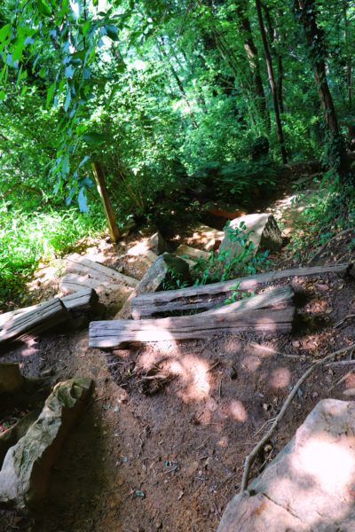
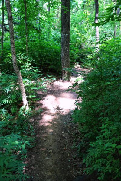
The hike doesn’t gain or lose elevation much anymore after this point. But there will still be rocks in the path or tree roots to navigate around. In just under a mile from Signal Point, you’ll reach the Julia Falls Overlook.
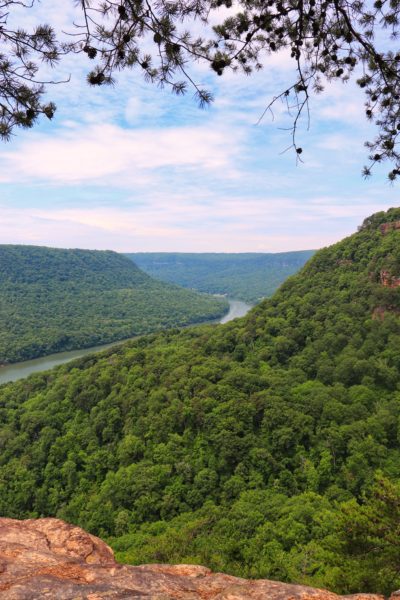
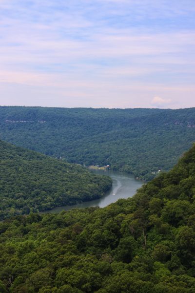
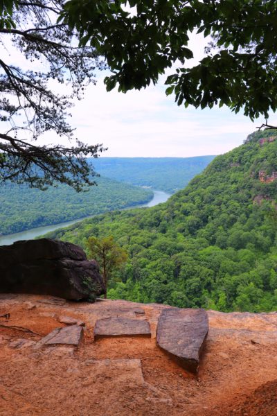
Julia Falls Overlook
The Julia Falls Overlook is the main attraction of this hike. It’s arguably the reason this park has become as popular as it has over the years. Despite its name, you most likely will not be able to see the waterfall from this overlook. But you can see the valley where the creek flows from as it goes into the Tennessee River. You can also look directly across and see Edward’s Point, another overlook a few miles further than this hike.
Signal Point: Second Section Hiking Tips
After the Julia Falls Overlook we’ll continue down the trail towards Rainbow Lake. On this section of the trail, you’ll notice it’s less crowded and not as heavily traveled. But also because of this you may encounter a few fallen trees. The ones I ran into were not too difficult to get around.
About halfway to Rainbow Lake you might hear waterfalls to your left. And at one point, you might even be able to see one through the trees. Even though I know countless people who have hiked down to these falls I highly suggest that you do not. When you get to the jut-off trail that sort of leads down to them, there’s a sign warning you that it’s not a trail and not to hike down there. I have never been down to the falls and from what I’ve heard it’s steep, can be wet and slippery, and the cables that used to be there to hold on to have been broken off. Considering you’re not supposed to be down there anyways, I think it’s extremely dangerous to attempt. So, please do not attempt despite the temptation.
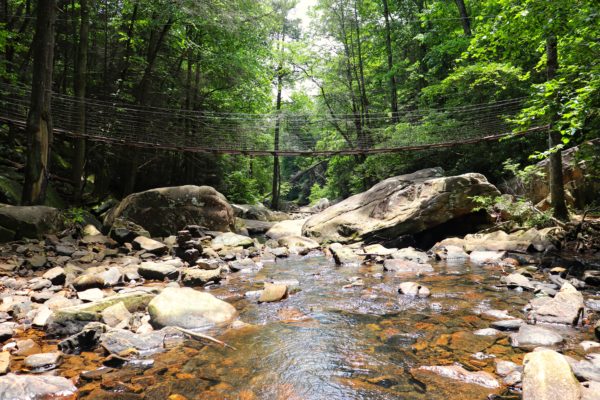
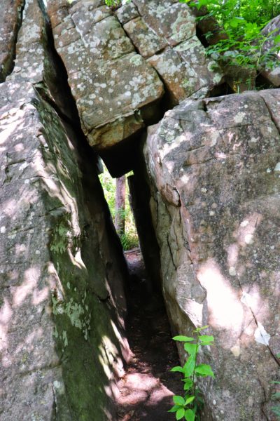
Closer to Rainbow Lake you’ll reach a spot where you’re clearly going downhill via rocks. At the bottom of the trail, you must choose to turn left or right. Keep to the right and cross the newly built, wooden bridge. Soon after this you will be able to see the creek below to your left as you near Rainbow Lake.
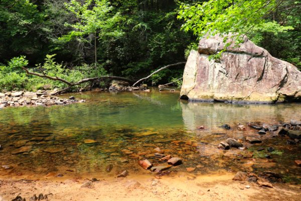
Rainbow Lake
Rainbow Lake was formed for the old Signal Mountain Hotel back in 1916. The lake itself sits behind the dam, but on your hike towards it you can wade in the creek or swim in some of the swimming holes along the way up. I really enjoyed walking through the cold water as a way to cool off after a long hike in the summer heat. Once I was cooled off, I set out to finish the hike back up towards Signal Point.
Instead of turning around and doing the hike in reverse, I chose to hike up to the Rainbow Lake Trailhead. It’s an uphill hike, but the majority of the .4 mile trek is in the form of gradual zig-zags as opposed to the Signal Point end which is steep steps. After you reach the top, turn right down the street and follow the street around the corner by the Alexian Village. Then turn right on Signal Point Road and walk to the end of the street to get back to the parking lot at Signal Point.
Tips for This Signal Point Hike
I highly suggest doing this hike the way I did if you want to keep your uphill hikes stair-free. Taking the road back instead of hiking the trail also cuts out about 1.5 miles. If you want to make it more of a challenge, start at the Rainbow Lake Trailhead and hike this trip in reverse. Or just hike both ways on the trail. Of course, you can also hike to Edward’s Point or around Rainbow Lake as well if you want to add mileage too. The combination options for this hike are quite numerous. For reference, what I hiked was just short of 3 miles round trip, including the walk along the road.
As always, arrive early. Signal Point and Rainbow Lake both have grown immensely in popularity over the recent years. If you arrive early in the morning on a weekend (between 7am and 10am) you should be able to get a parking spot.
Closing Thoughts
I cannot stress this enough. Please stay on the marked trails. It’s sad to see the decay that has taken place here due to negligence. Keeping places like this open and usable is easy if people simply respect the trails. I always say “take out what you bring in” but this trail honestly didn’t have any trash that I noticed. The main issue with this location is people blazing their own trails. There’s no need for that. There’s plenty of trails in this area and we don’t need to ruin the entire mountainside by adding foot traffic where it doesn’t belong. Obey the signs, stay on the trail, and future generations will be able to enjoy this place too.
Even though the trail down from Signal Point has seen better days, this hike is still one of my favorites. It was the first hike I was introduced to when I moved here and it will forever hold a nostalgic place in my memories. However, it’s sad to see how downhill it has gone in the last few years. I hope that those who visit will be respectful. Stay on the trail and take out what you bring in. That’s really all there is to it.
Be sure to watch the video version of this hike. And here is the exact location of Signal Point. Until next week, enjoy exploring Chatt!