Tucked away in the Cumberland Plateau are numerous creeks, waterfalls, and hiking trails with which to see these sights. Some trails are more well-known and obvious. While others, such as this one, stay hidden away. Used only by the locals who know it’s there, this trailhead is off the beaten path. Continue reading to learn where this hidden hike is, how to get there, and see all the beauty this section of the Cumberland Trail holds.
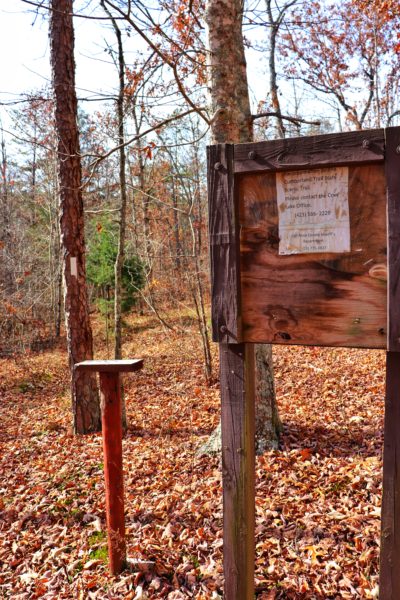
Newby Branch Trailhead
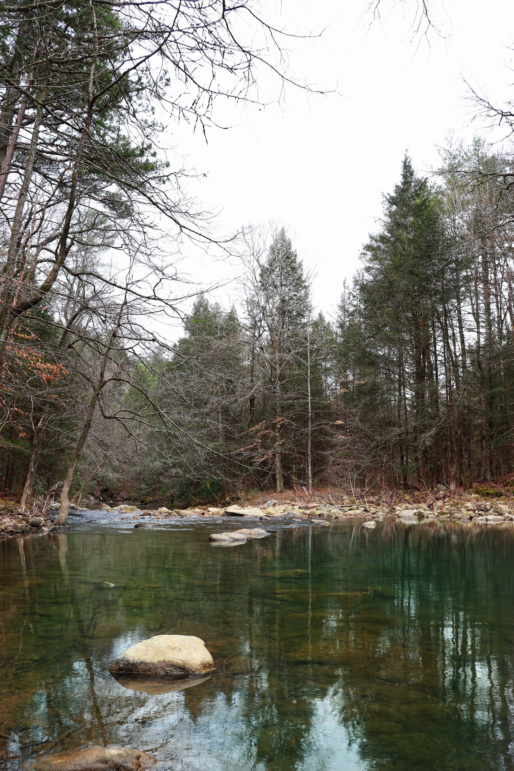
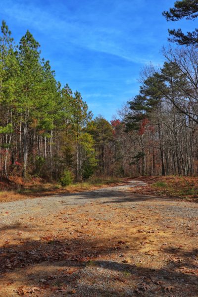
The Newby Branch Trailhead on the Cumberland Trail is where we find this hidden hike. Just outside Spring City, TN, down some country roads, this trailhead is hidden amongst pine trees in this secluded area. This section of the Cumberland Trail follows Newby Branch, hence the name, and continues southeast until it merges with the section of trail that follows the Duskin Creek and eventually Piney River. The Piney River Trailhead is easier to find and access. This end tends to be more popular given its nature. But the Newby Branch Trailhead offers a more hilly and quiet hike on the west end of the trail.
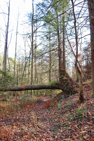
Walden Mountain Road
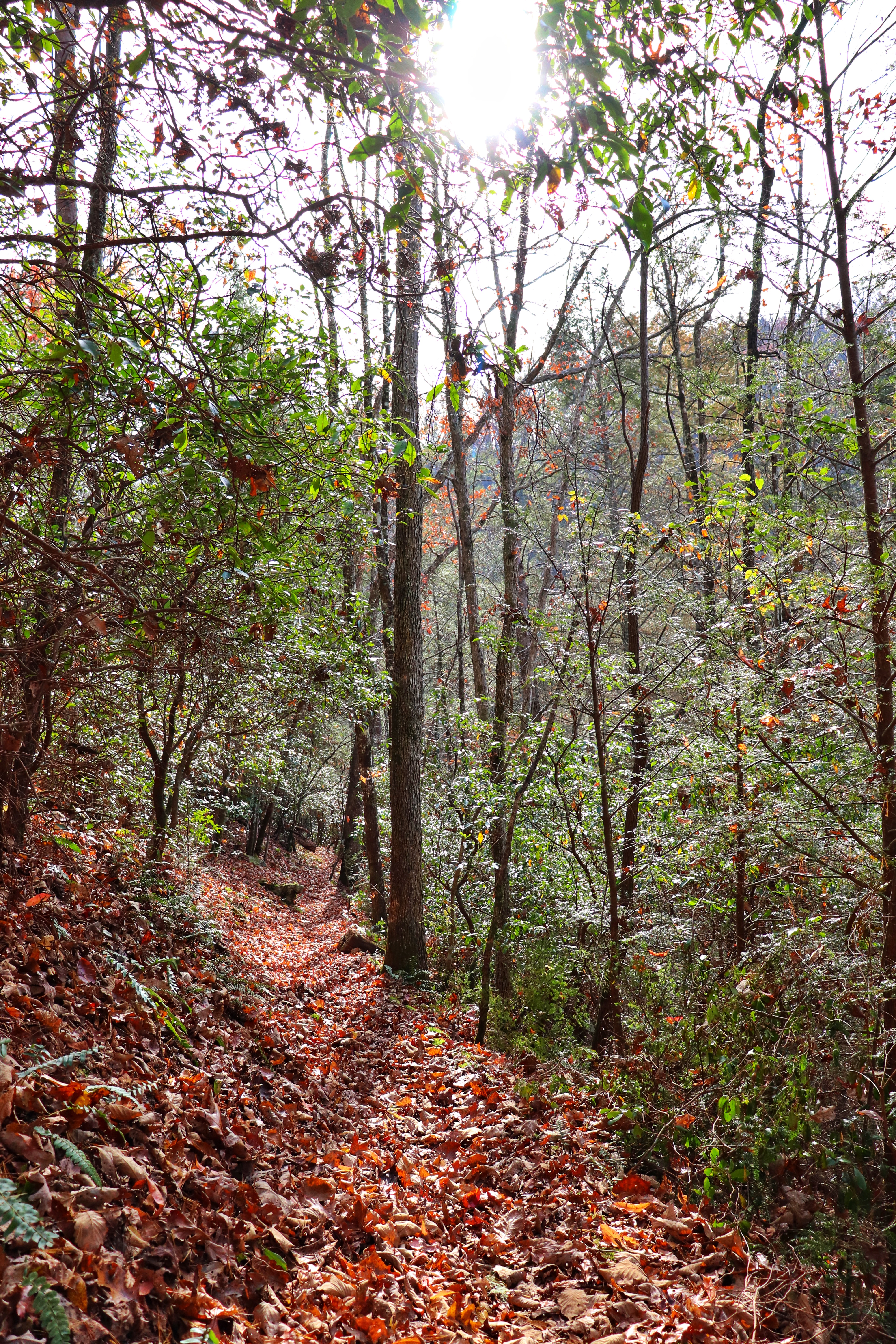
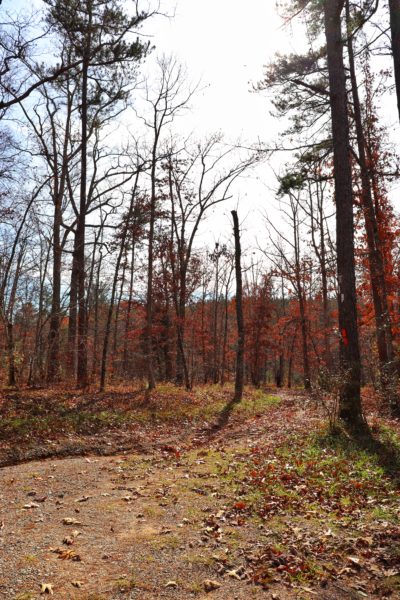
The section of trail from Newby Branch Trailhead to Walden Mountain Road is just over 1 mile long. The trail starts by the creek and slowly ascends the ridge. Soon you’re high above the creek on a narrow trail that clings to the side of the steep ridge. If you’re afraid of heights, this section of the hike might not suit you. Eventually the trail comes back down and through a couple of switchbacks it leads you to cross Walden Mountain Road. Cross the bridge and watch for the next trail blaze to find where the trail picks up again to the left.
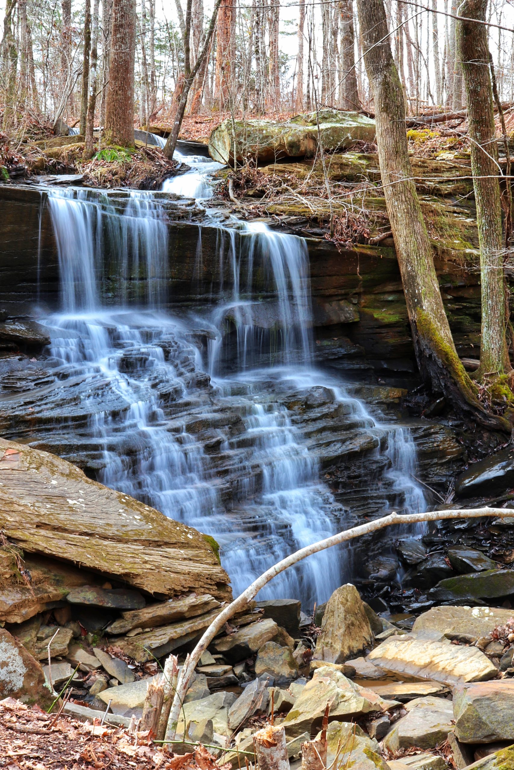
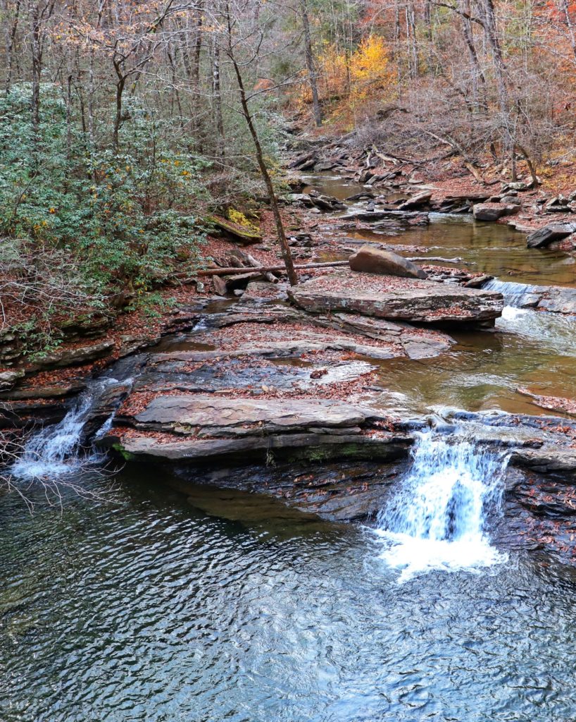
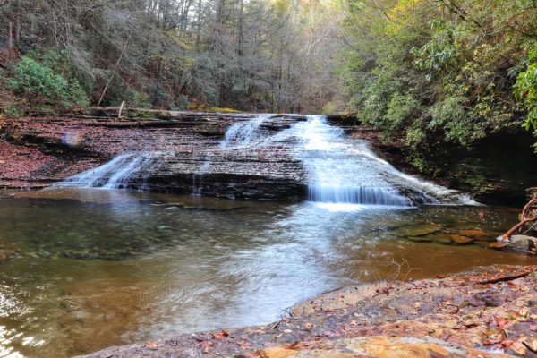
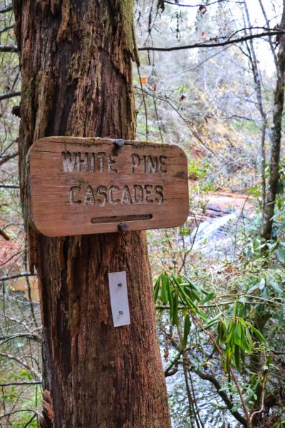
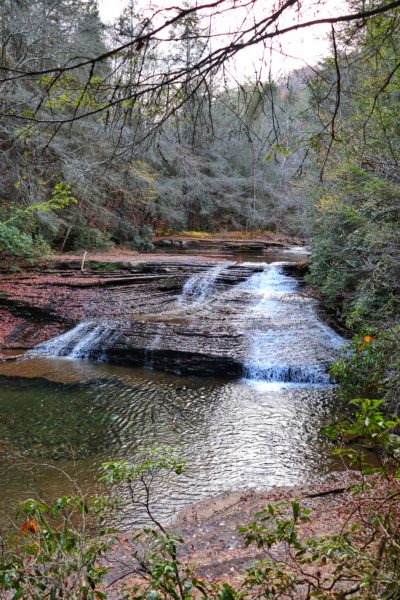
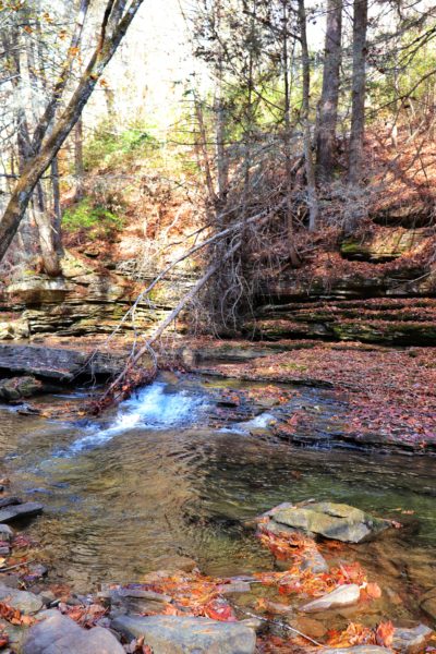
White Pine Cascades
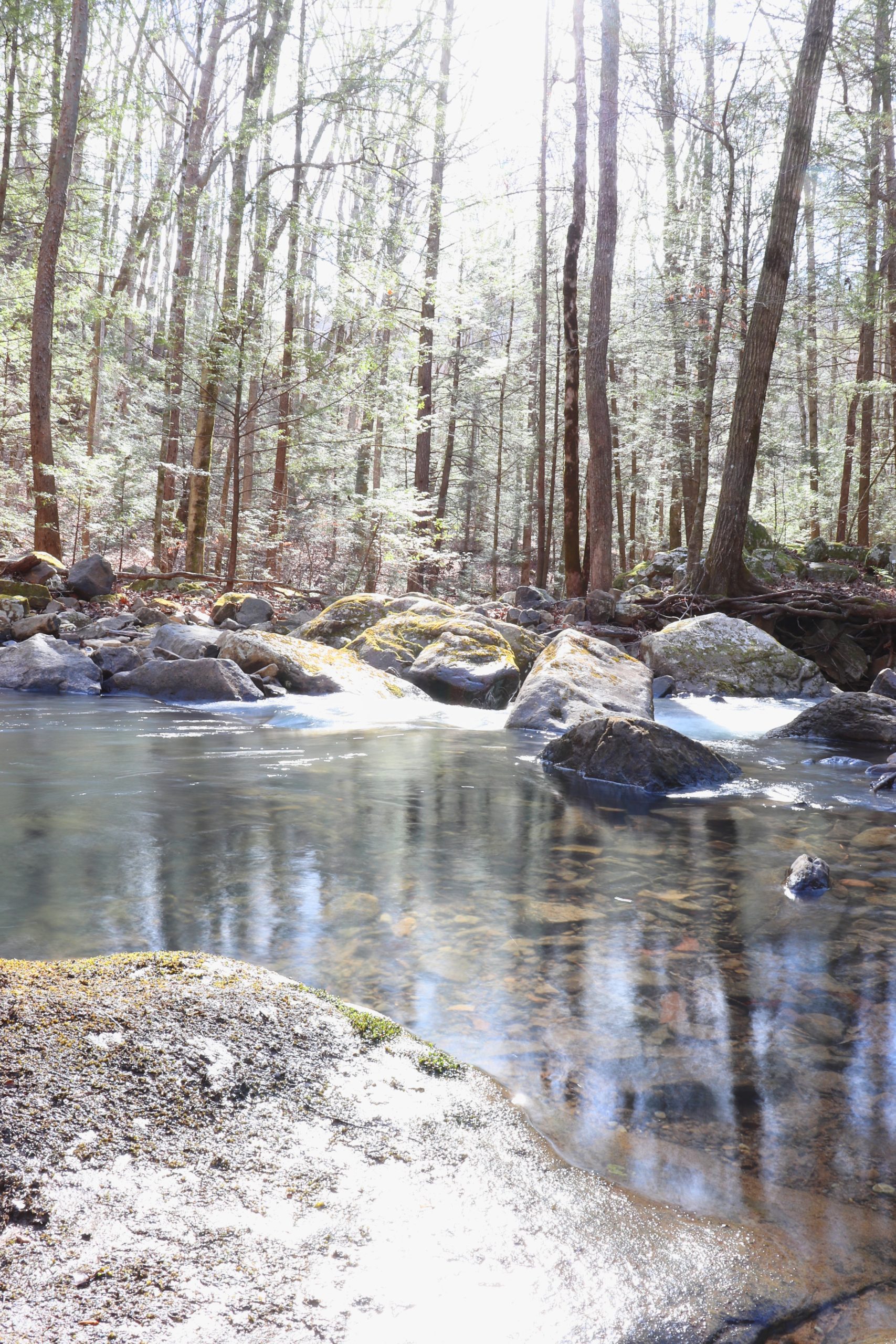
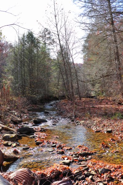
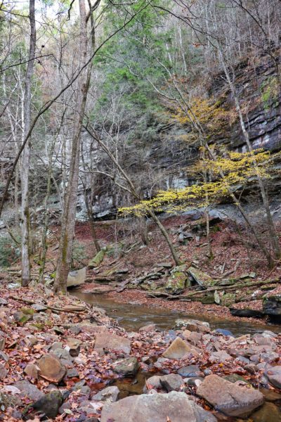
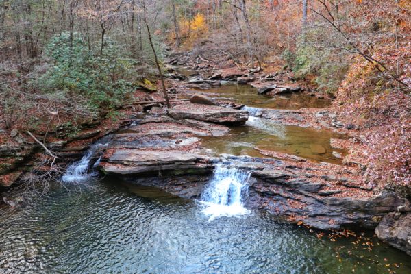
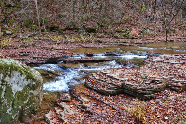
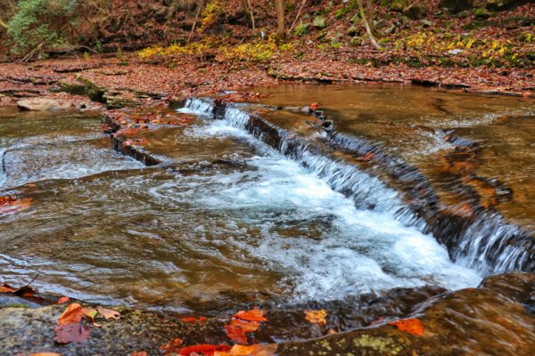
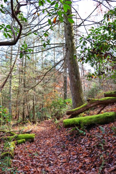
This section of the hike is the easiest. The trail meanders beside the creek for a while until it takes you up and down the ridge a little bit. Through this section there’s a creek crossing bridge and the spots that go uphill are in switchback design. After about 1.5 miles you’ll reach the White Pine Cascades. To me, this is the highlight of the trip. There’s even a place you can walk down to the falls if you’re careful. I found this to be the most beautiful attraction of the entire hike. But there’s still beauty to be found further down the trail.
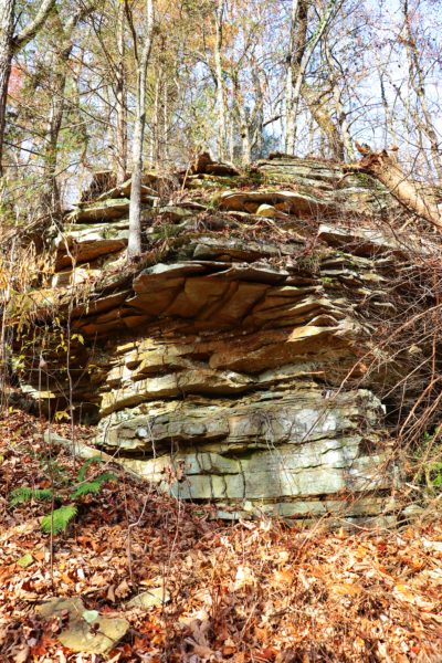
Spider Den Bluff
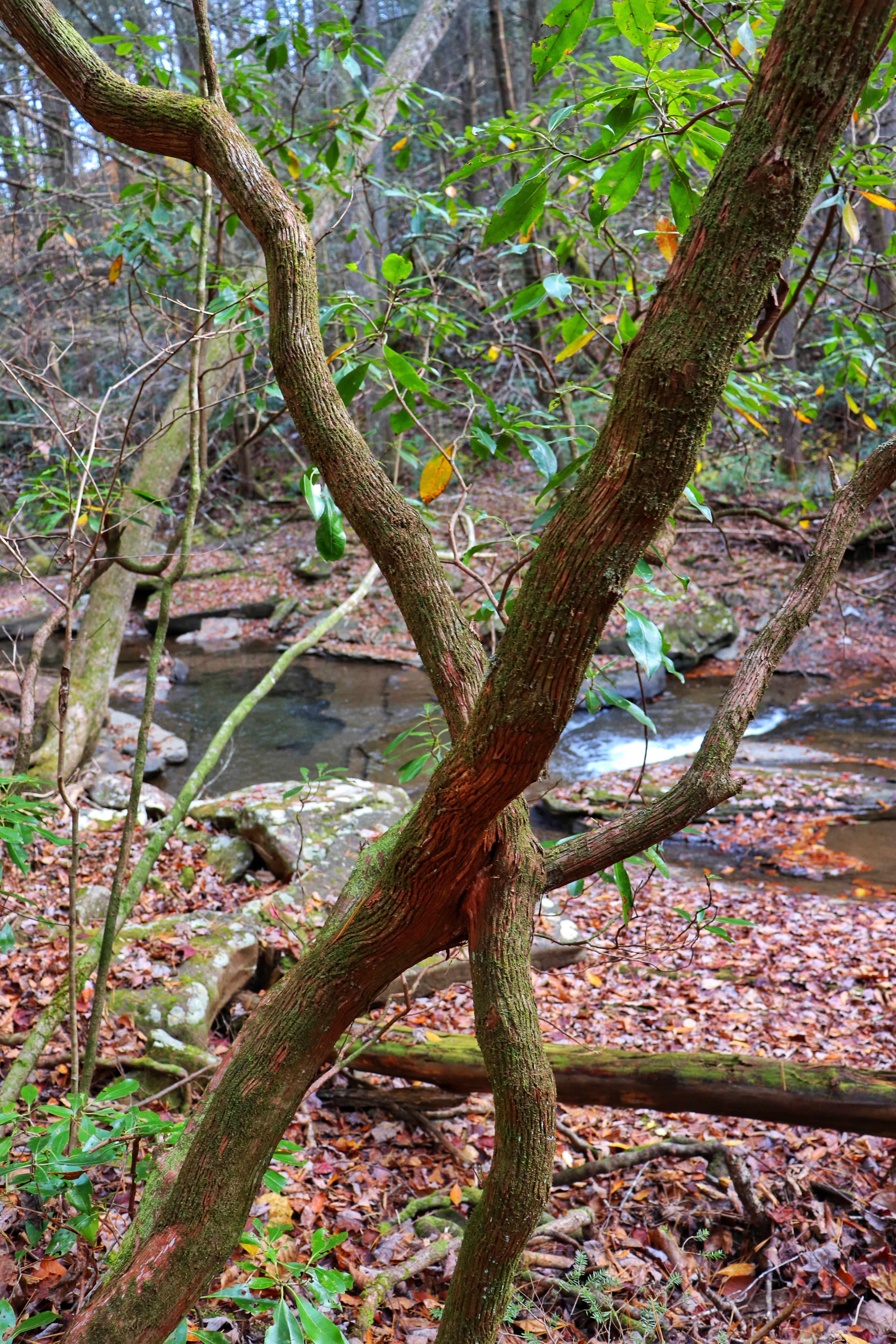
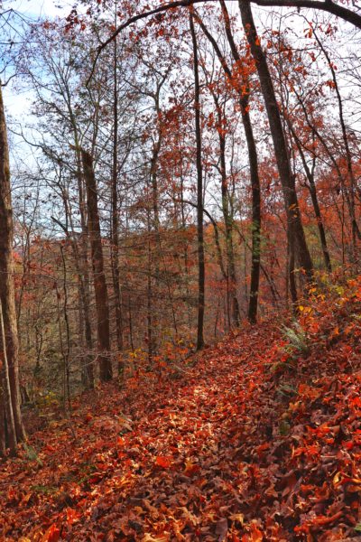
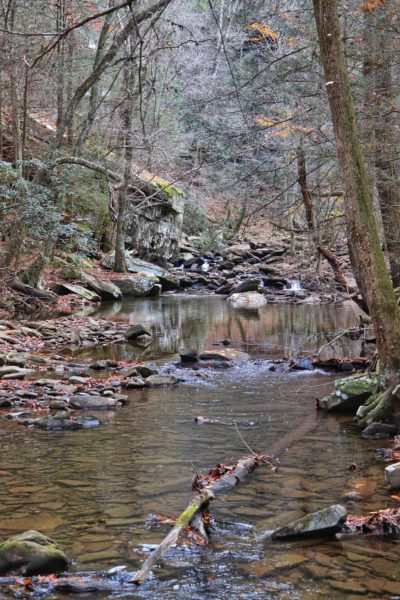
Our hidden hike continues as the trail goes further up the ridge. This time the trail gets steeper in spots as it takes you nearer to the peak. The spur for Spider Den Bluff is about half a mile past the White Pine Cascades. The spur itself is about a third of a mile long and takes you from the main trail atop the ridge down to the creek at the bottom of the ridge. From here you can enjoy the peacefulness of Duskin Creek as you are resting between the ridge you just hiked down and the bluff standing tall across the creek.
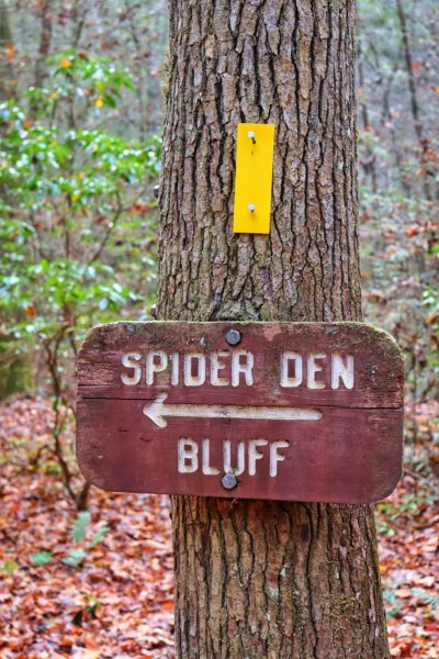
Note that this is a separate spur trail which means you have to hike it back up the ridge to continue on our hidden hike’s main trail. You can opt to not take this spur if time is running short or you simply don’t want to hike down and up the ridge an additional time.

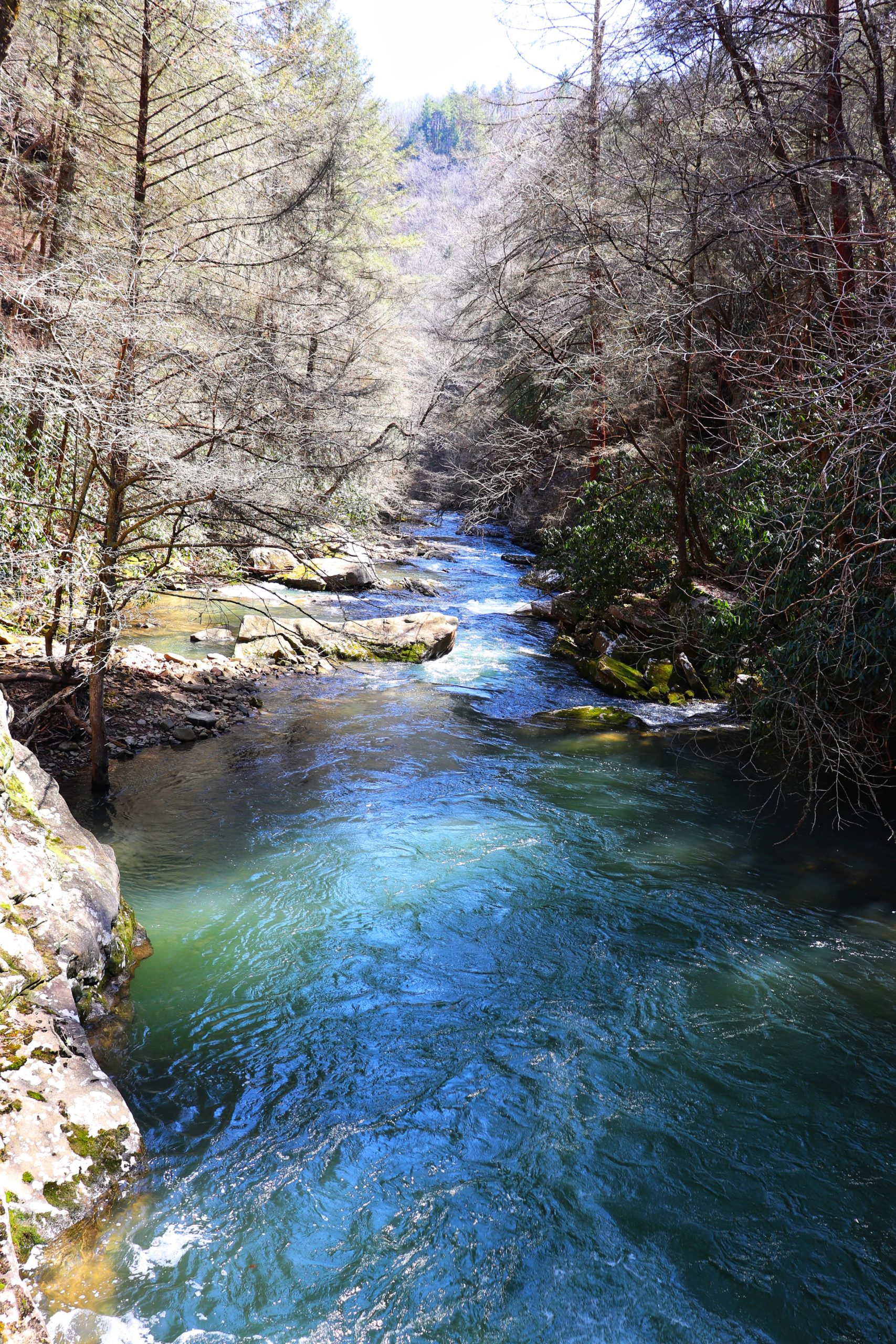
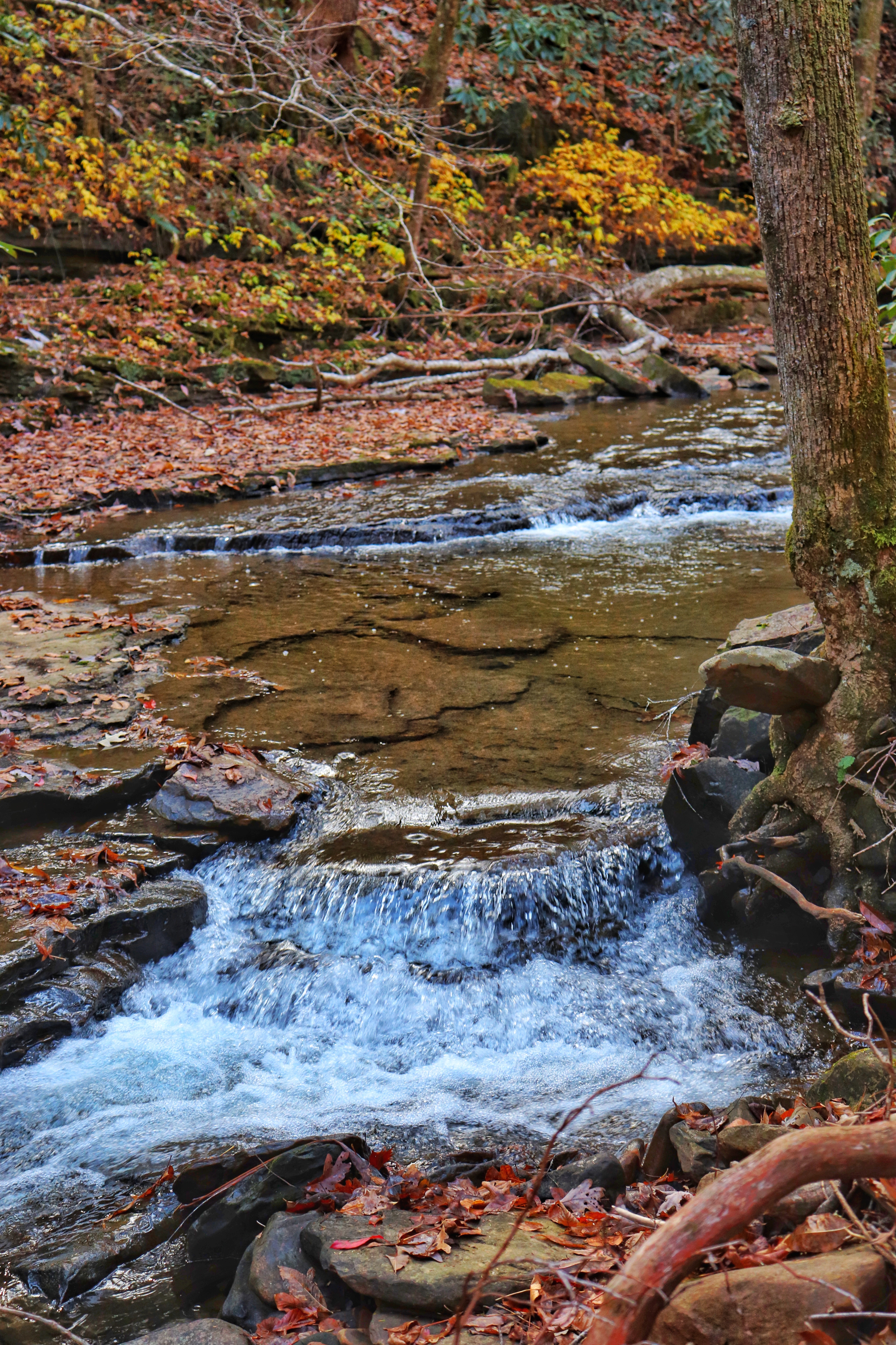
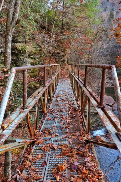
Deep Pool Cascades
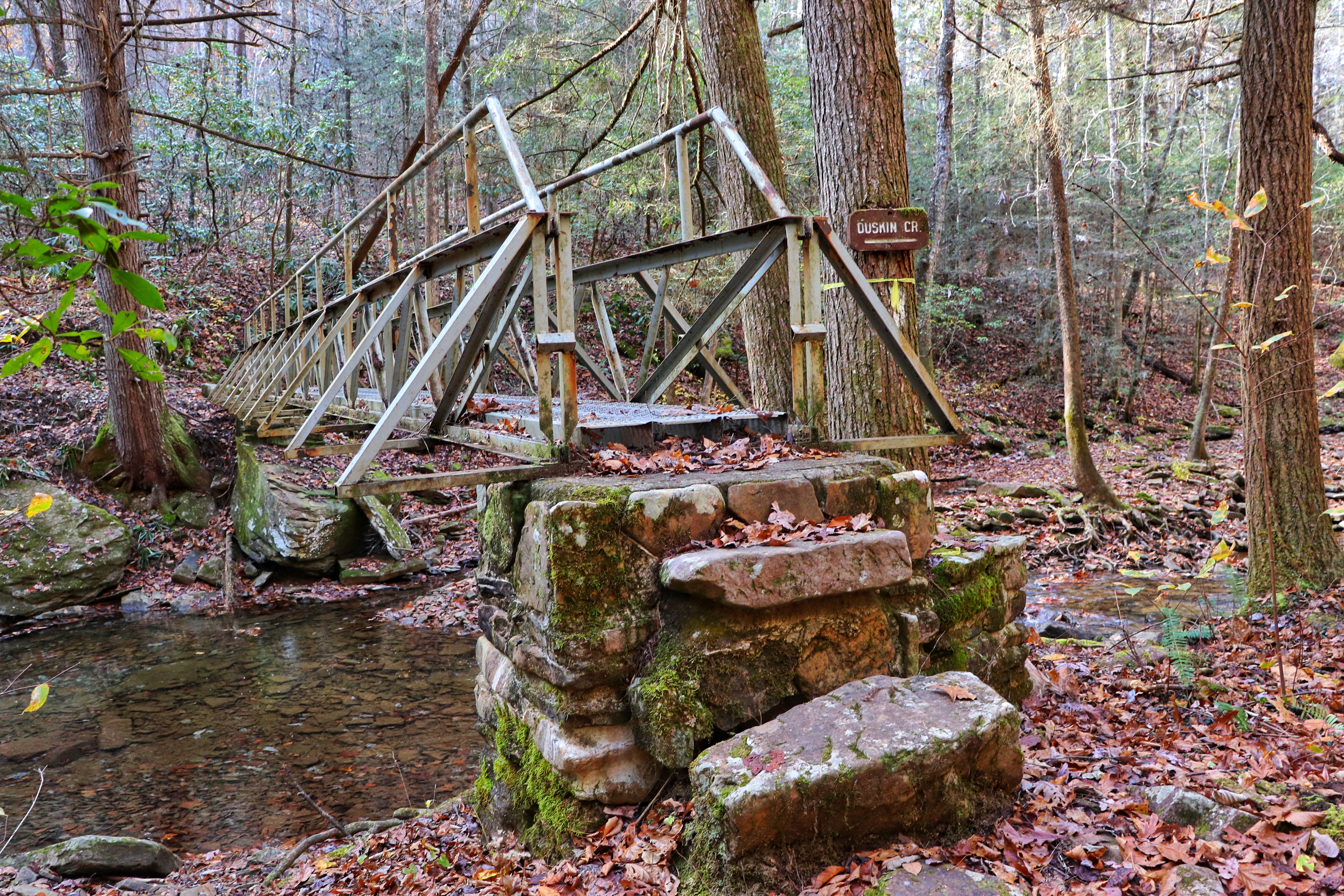
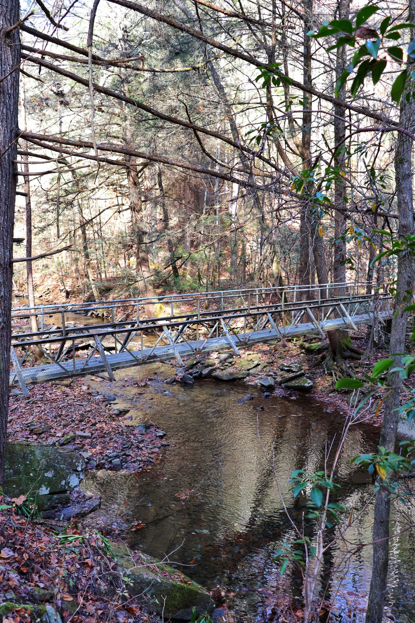
The Deep Pool Cascades are just over half a mile further from the spur to Spider Den Bluff. If you’re afraid of heights, you will probably want to avoid going further. The trail continues over the deep pool via a rusted metal bridge that’s suspended many feet above the water below. If you’re not afraid of heights, this spot is perfect for taking in the beauty of the cascades.
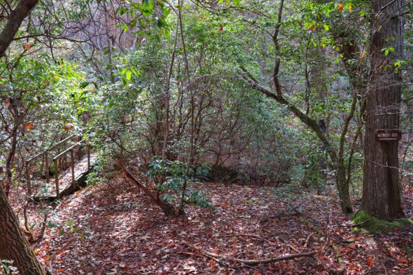
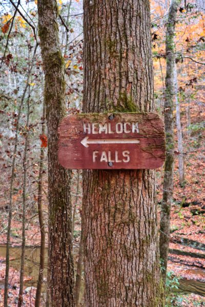
Hemlock Falls
Continue past the Deep Pool Cascades and in about a third of a mile you’ll reach the spur for Hemlock Falls. Don’t be deceived, as I was, by the name. These falls are nothing more than a small series of short cascades. The spur trail to reach them is short and fairly flat making it worth the extra effort to get there.
The main trail continues on past this spur but this is where we ended our hidden hike adventure. If you continue and want to end at the Piney River Trailhead, this is about the halfway point of the hike. But we turned around and headed back from here. We ended up doing about 10 miles round trip, including the added spurs.
How to Get There
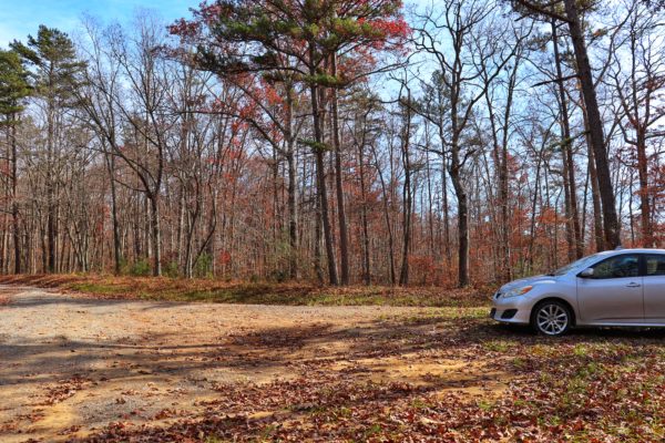
Getting to the Newby Branch Trailhead is a bit challenging simply because of the road. The last bit is a dirt road and some gullies have been carved into it. My car made it fine, however if you have a low vehicle or are not confident navigating off-road situations, I would suggest doing the Piney River Trailhead hike instead. The parking is right off the main road and is much easier to access.
If the off-roading situation doesn’t scare you, then Newby Branch Trailhead is rather easy to find. Google Maps has the spot pinpointed nicely. For the exact location, click HERE.
You can park anywhere near the trailhead. Note that this is a camping area too so there’s campsites strewn throughout. I ended up parking right off the side of the road. But the trail starts a little ways down the road leading to the campsites. However I couldn’t find a good place to park next to the start of the trail and my car wouldn’t make it very far down this particular path.
Tips for Your Trip
First, I’d like to point out that as we hiked, I noticed there’s an area on Walden Mountain Road that would make for an excellent start to this hike if you wanted to shorten it. However, upon further research I learned that this is an old trailhead. What was once called Duskin Creek Trailhead is now no longer open. The trail continues from here, yes, but you are no longer allowed to park here. So the best route really is to start at the Newby Branch Trailhead.
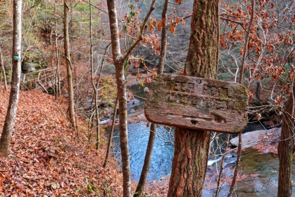
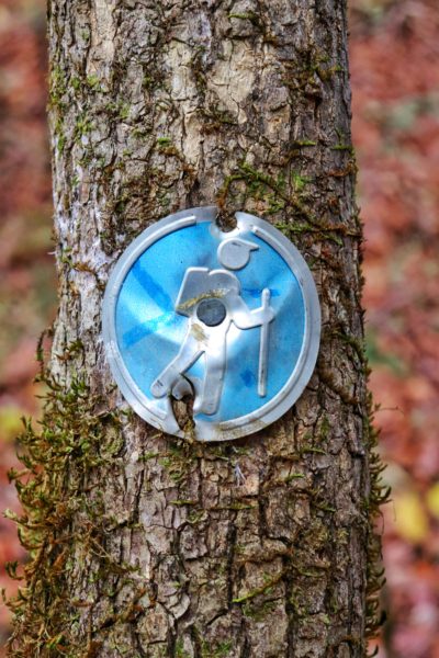
The trail has numerous switchbacks along the way. Be sure to pay close attention to the trail blazes so you don’t lose the trail. It can be easy to do. But the trail is well-marked, so if you’re paying attention, you shouldn’t get lost. I didn’t have cell signal while on this hike so be prepared.
I’d also like to note that we were hiking on a beautiful Saturday afternoon for about 6 hours and never saw another person on the trail. That’s why I’m calling this a hidden hike. I’ve never hiked a trail that I’ve never seen another soul on. This really made the experience even more restful and feel like a true escape from the world.
Conclusion
If 10 miles round trip is too long for you, I’d suggest doing the hike to the White Pine Cascades and back. This will be about 4 miles round trip and cuts out the steeper sections of the trail. It would also be the perfect place to stay cool during the summer months. I’ll have to try this section of the hike again then.
To watch the video of this hidden hike, click HERE.
Have you been to this segment of the Cumberland Trail? What do you think? I’m looking forward to going back and trying the hike from the Piney River Trailhead. Which, of course, I’ll share the experience with you when I do. But until then, enjoy Exploring Chatt!