I’ve hiked a good amount on the Cumberland Trail, but the Heiss Mountain Trailhead is by far the most challenging start and finish point I’ve encountered yet. Flowing creeks, waterfalls, beautiful bridges, and sprawling mountain views are just a few of the sights that make this hike worth it. Continue reading to learn more about this challenging hike and why you should visit even if you’re not up for the challenge.
Heiss Mountain Trailhead
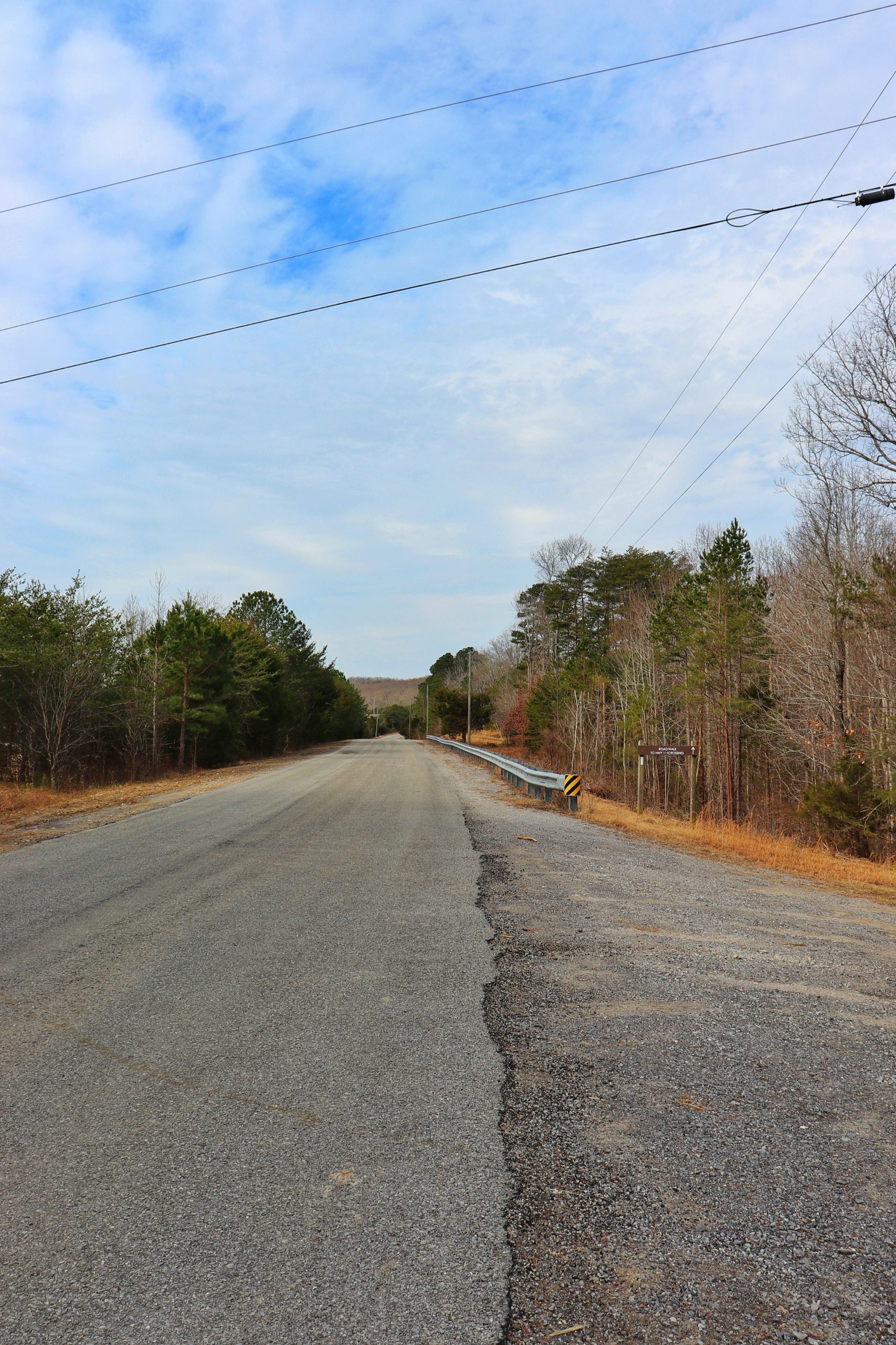
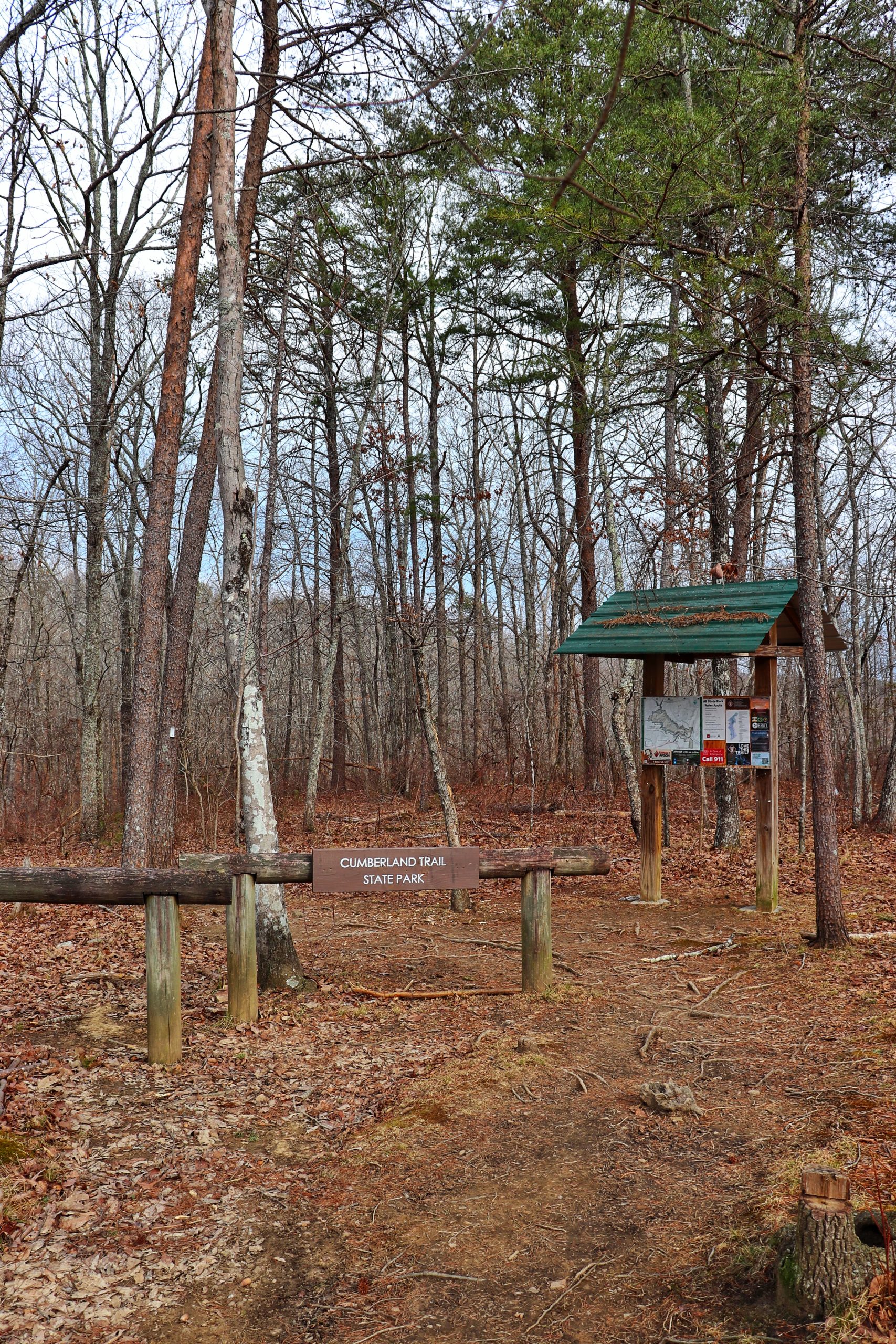
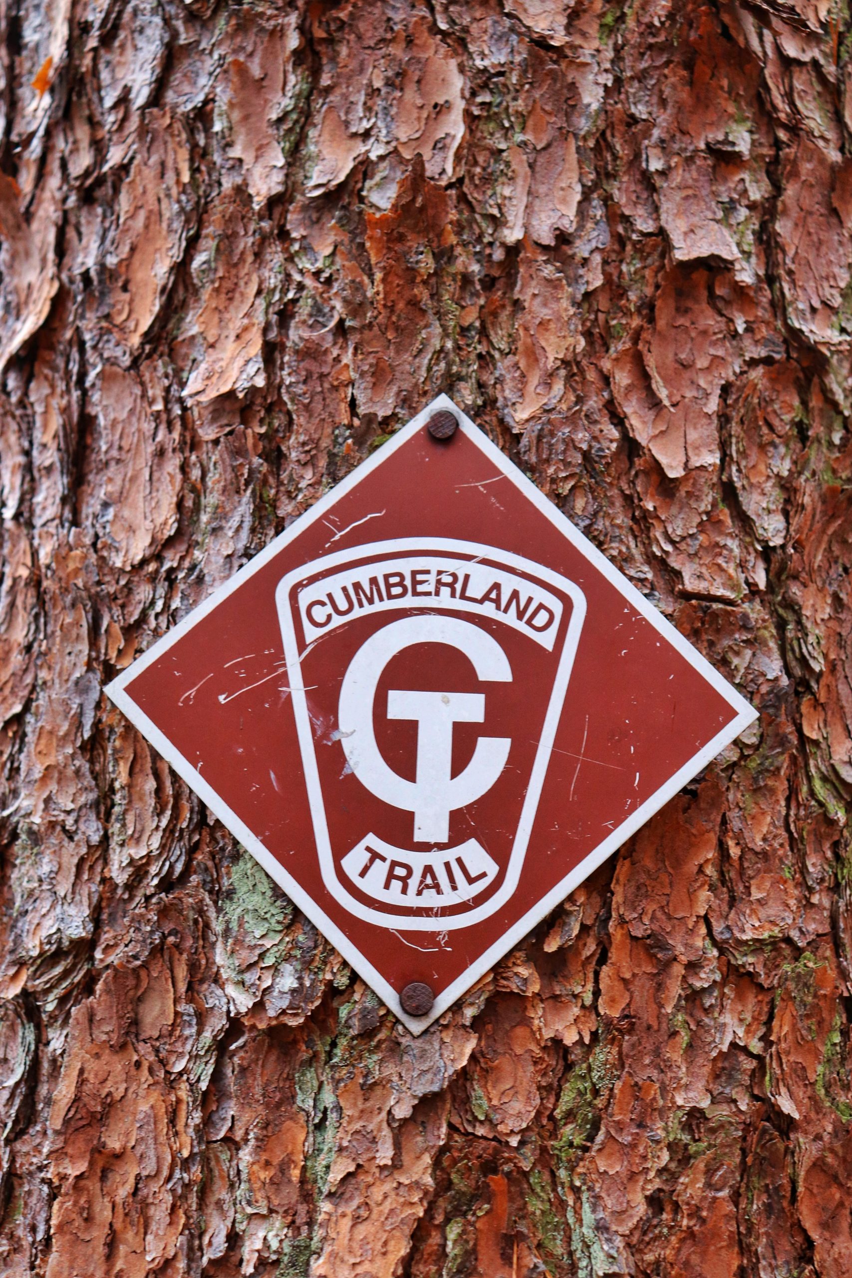
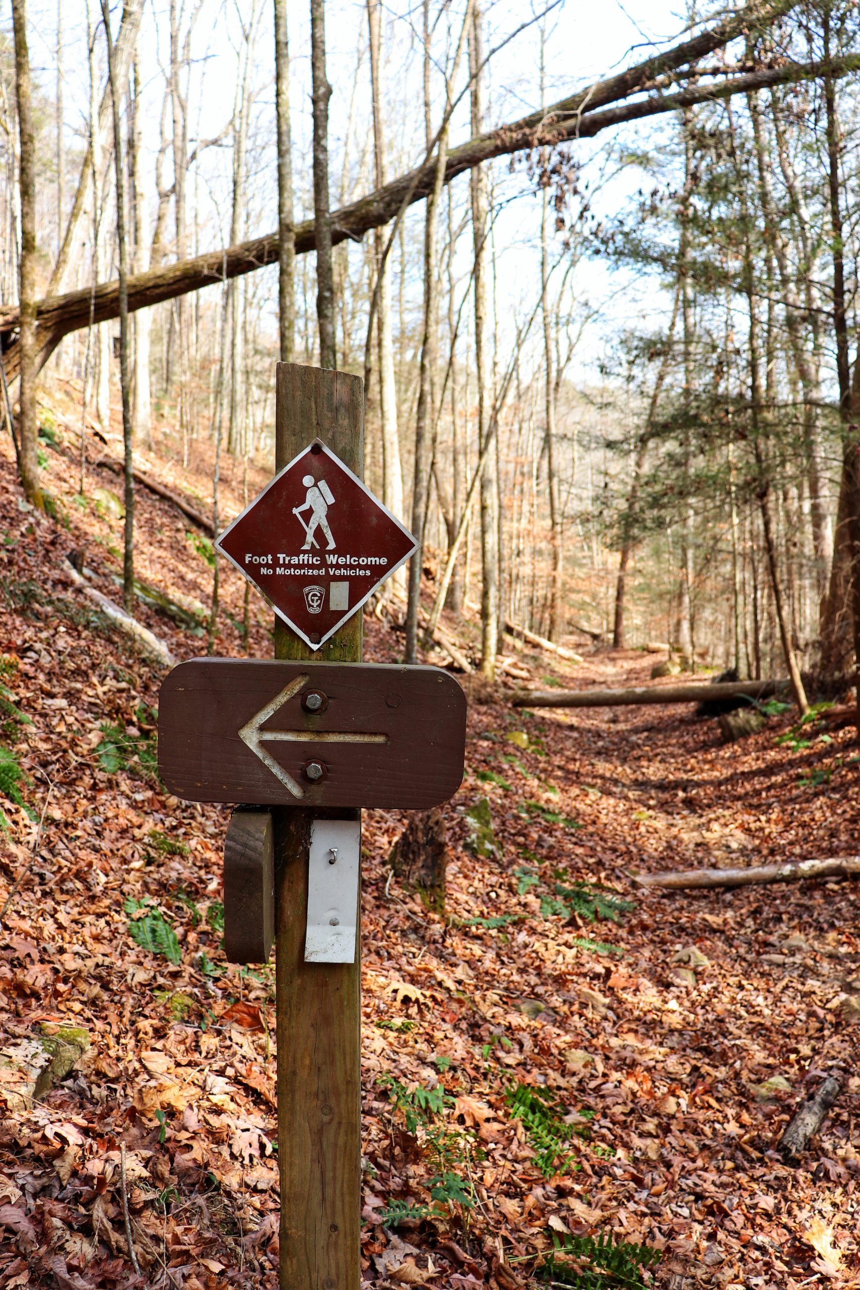
Heiss Mountain Trailhead is part of the Possum Creek Gorge Section of the Cumberland Trail. The trail runs from Heiss Mountain Trailhead to Retro Hughes Trailhead in a 9.5 mile stretch. There are numerous campsites along the trail. Given the terrain and nature of this trail, the campsites prove to be very beneficial. Heiss Mountain Trailhead is located right off Highway 111 on Flattop Mountain and is very easy to access. There’s plenty of parking typically as this trail is not heavily traveled. For the exact location, click HERE.
The Hike We Took
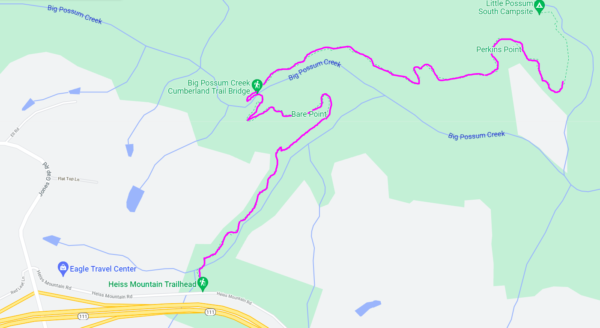
We took Heiss Mountain Trailhead with the intention of making an out and back hike of about 6 miles round trip. However, we ended up going further than planned in search of the elusive Perkins Point Overlook. Which, is something I don’t recommend. Because we ended up going down the ridge to Big Possum Creek, crossed the creek, went up to the very top of the next ridge (where we thought the overlook was supposed to be) and then down that ridge about halfway before deciding to cut our losses and head back. It was a very grueling 7.5 hours of hiking with 1,500 foot elevation gain and loss over and over again. Below is a map of the hike we took.
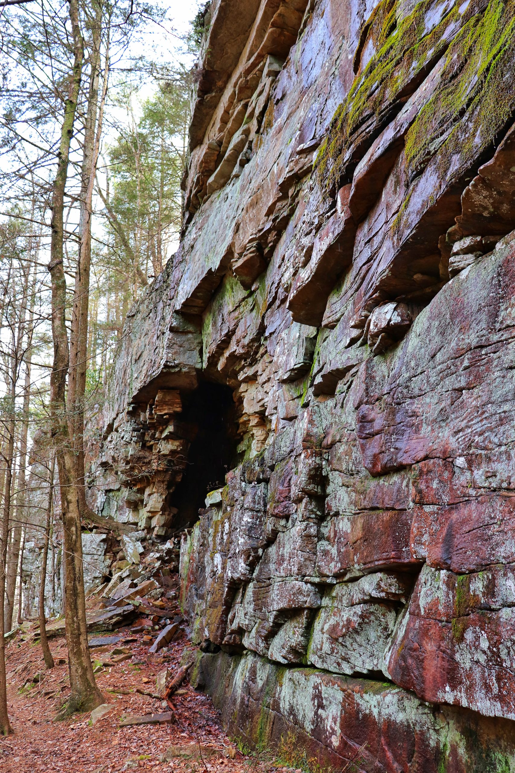
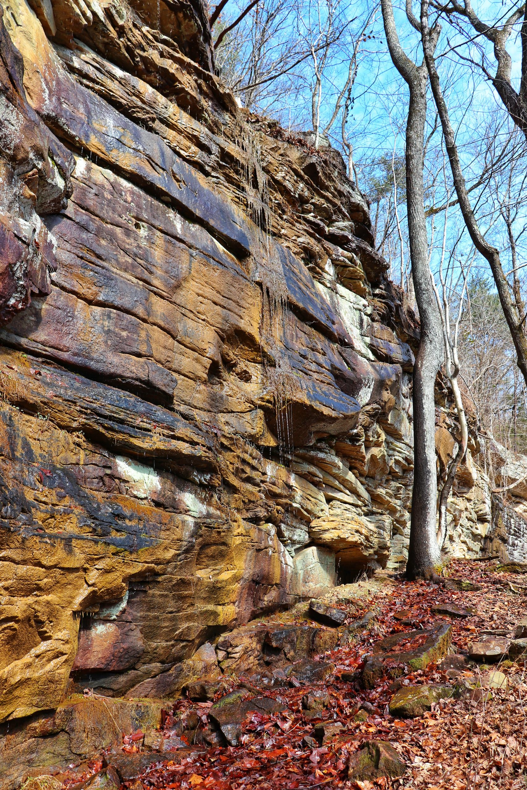
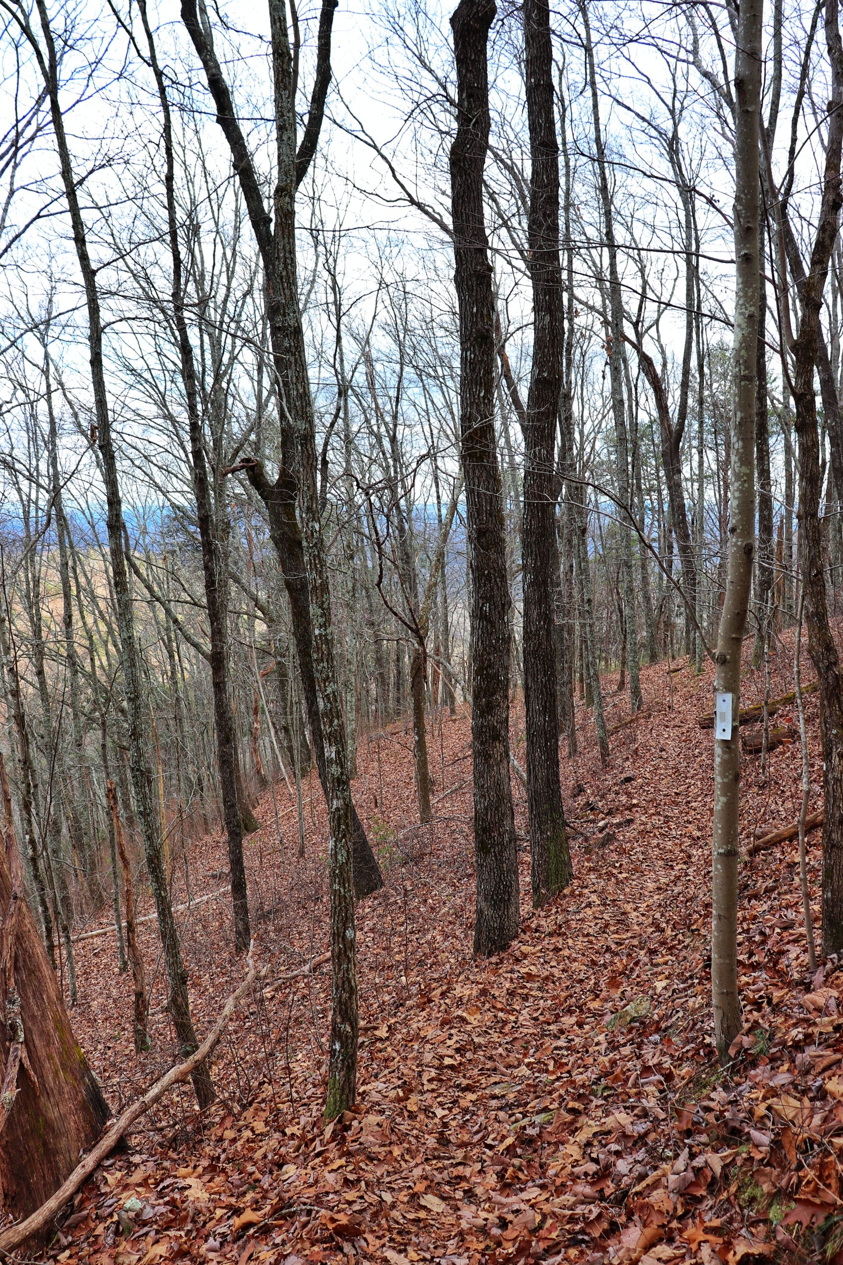
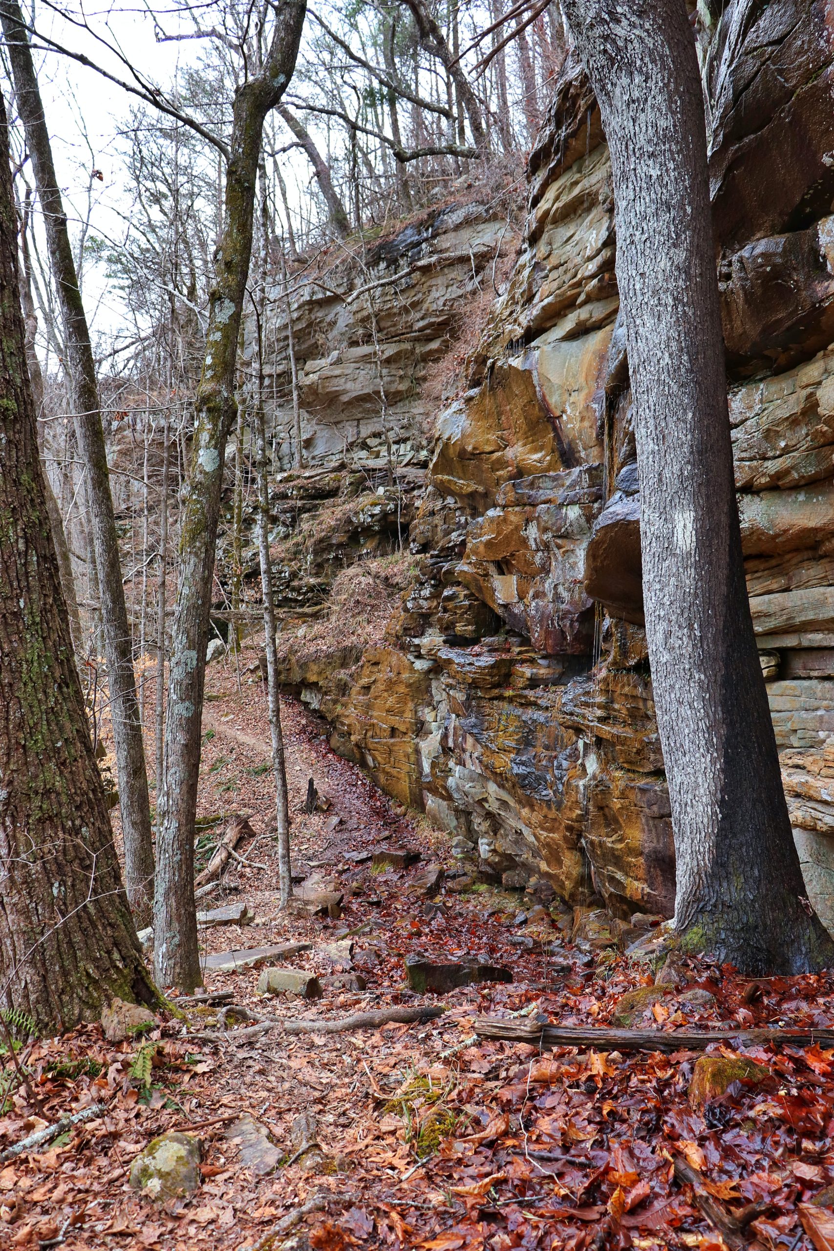
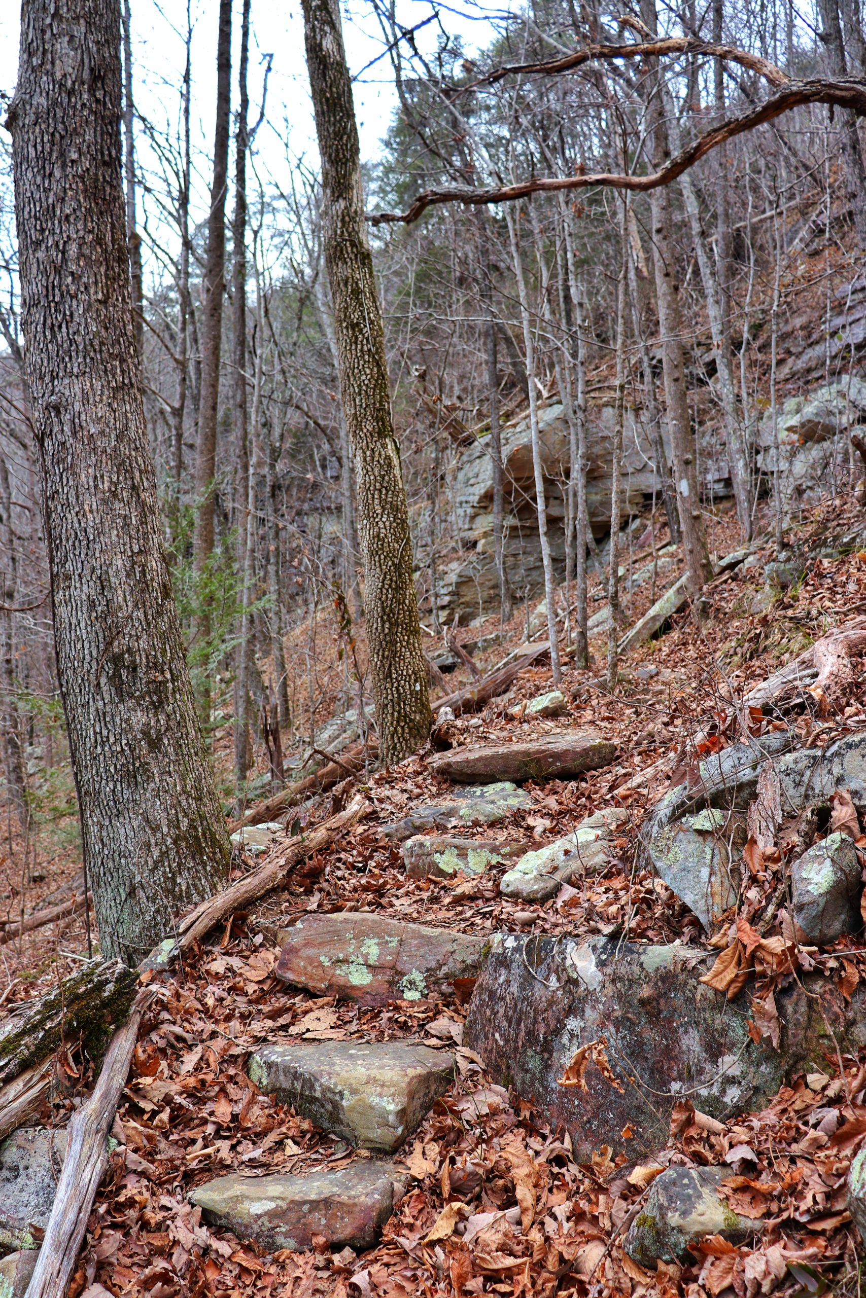
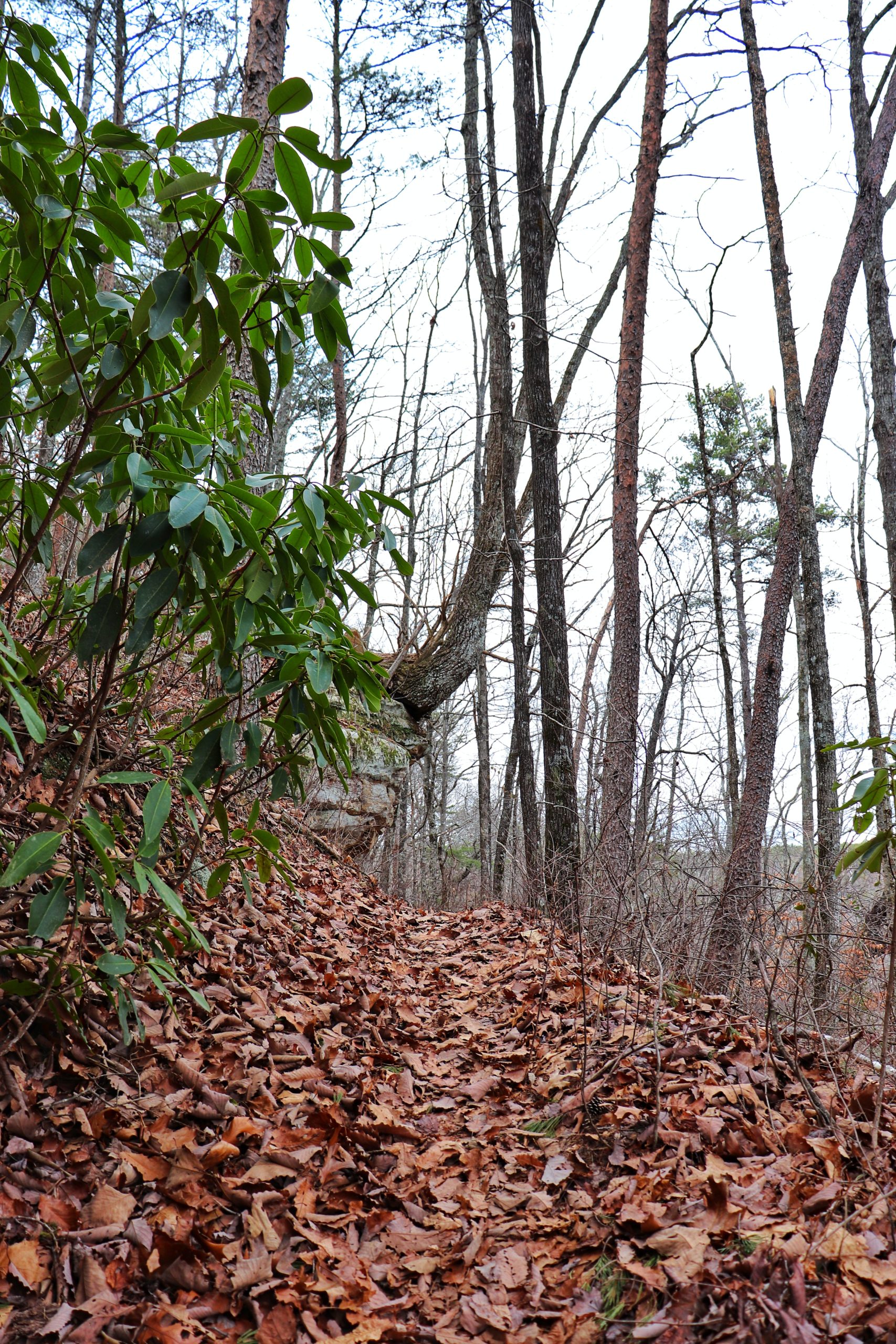
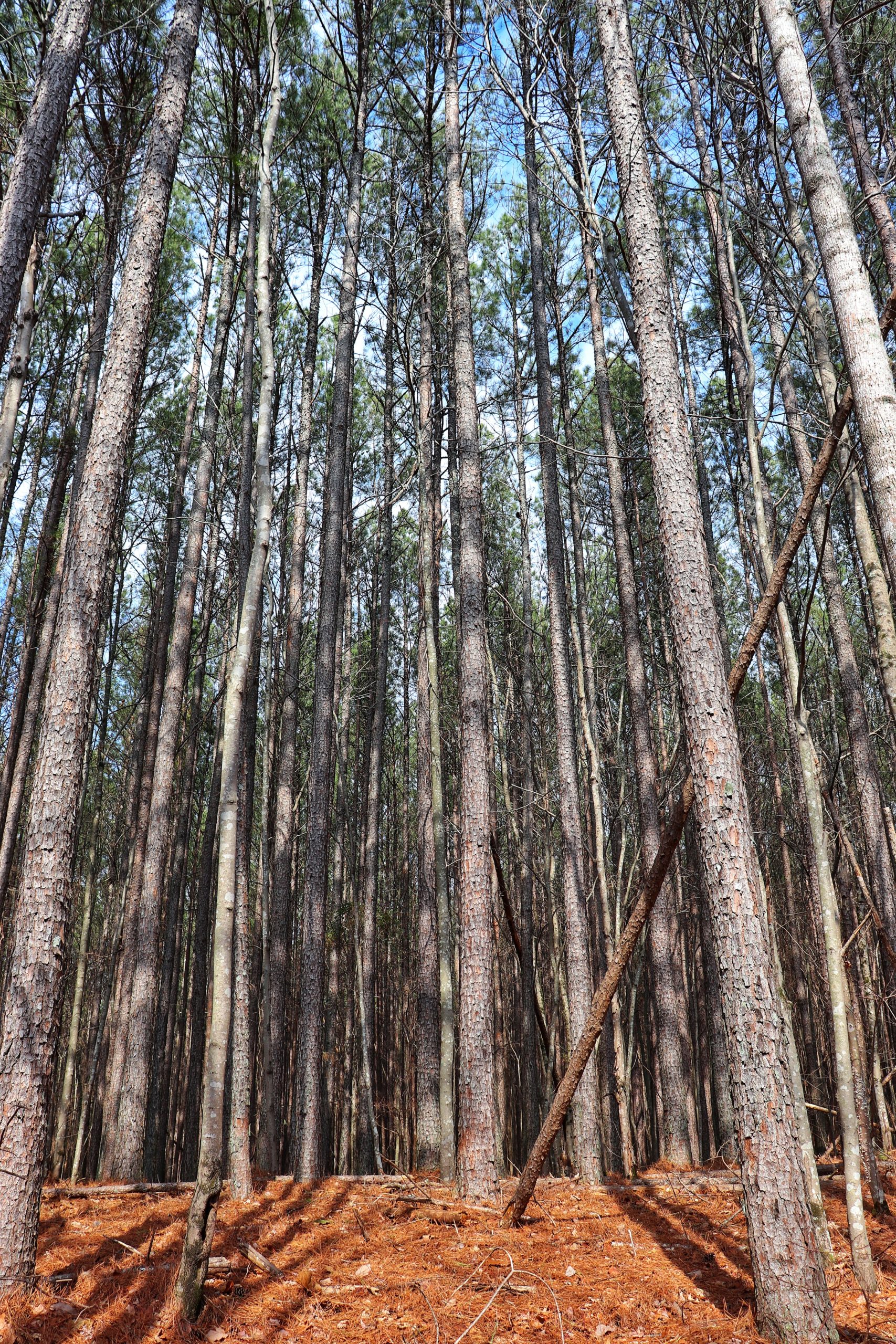
This hike is not for the faint of heart. You must be prepared to climb mountains, literally. The majority of the hike is inclines of various types. Rock steps and earthen ramps will mostly be what you encounter. And the distance covered within just 3 miles from the trailhead hardly puts a dent into the trail itself when you look at it on a map. The trail traverses a lot as it carefully takes you into the creek gorges and to the top of the ridges. So, if you’re looking for a challenging hike to get your heart pumping, this is the one for you.
The Shorter Hike
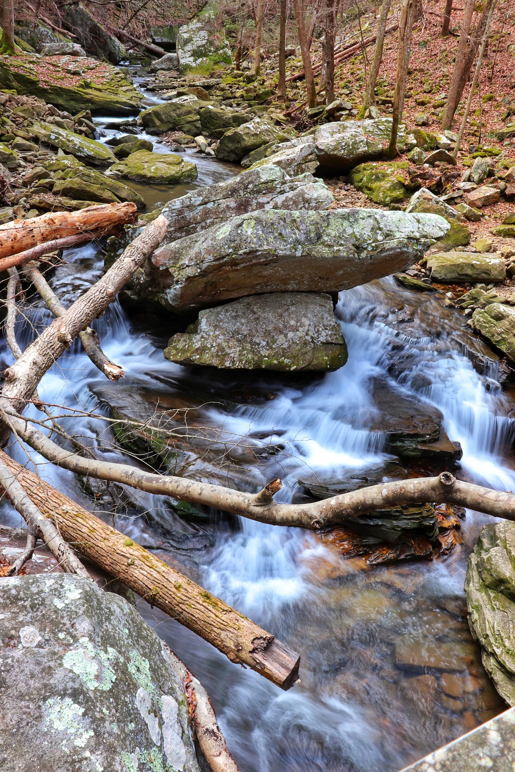
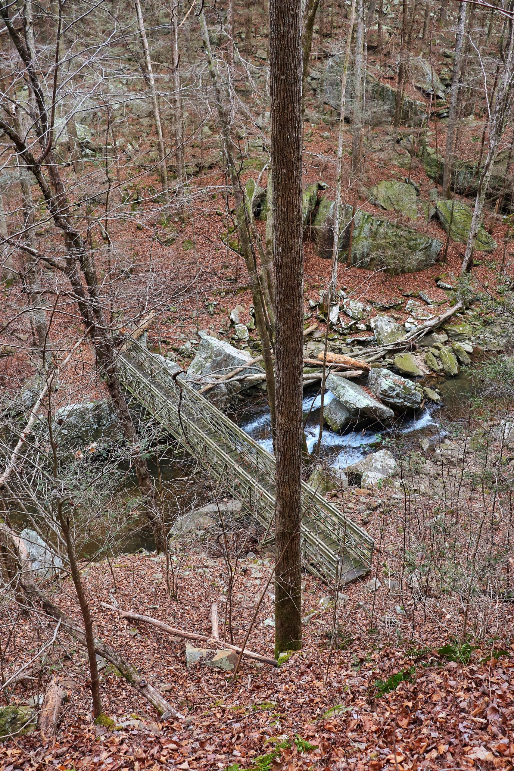
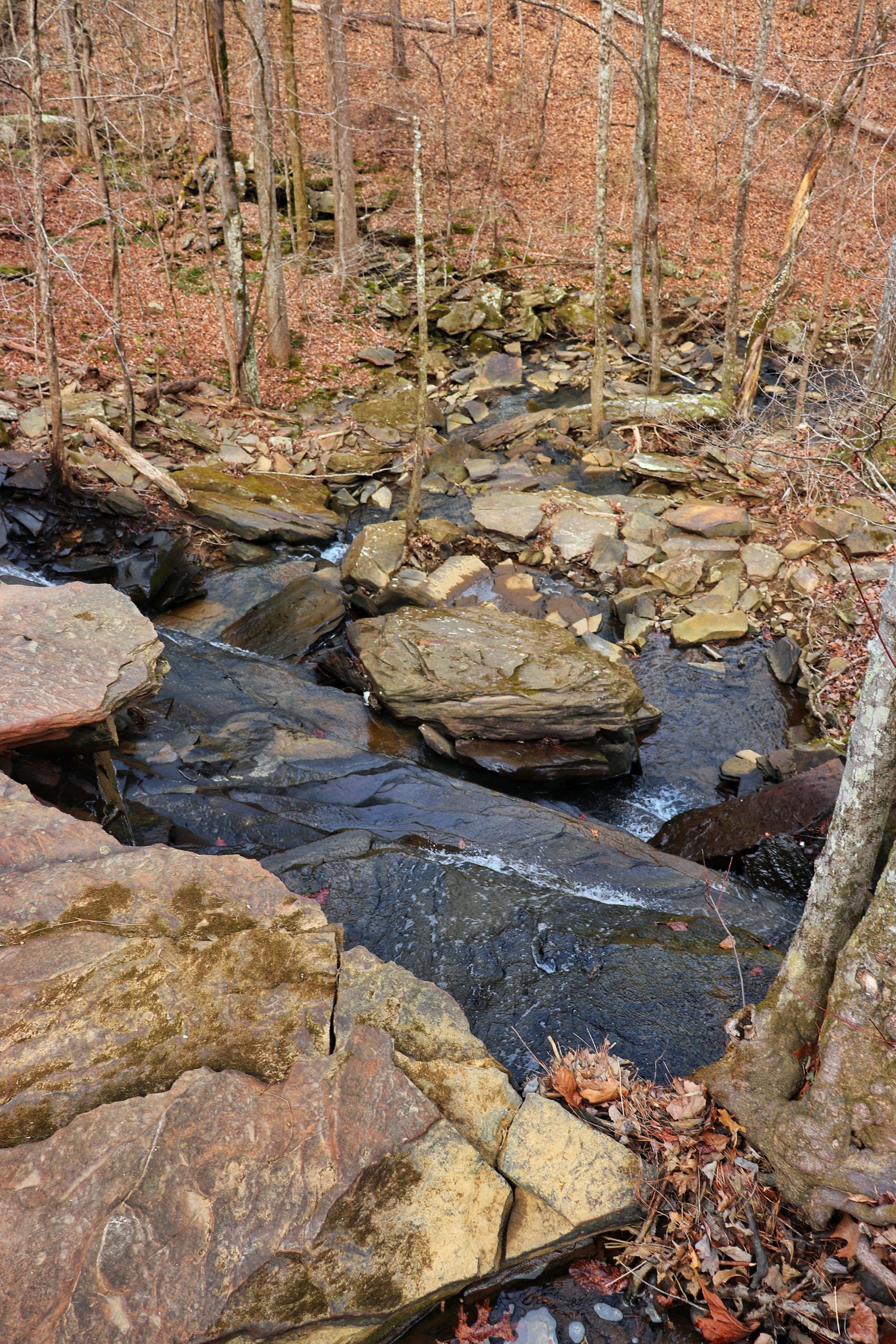
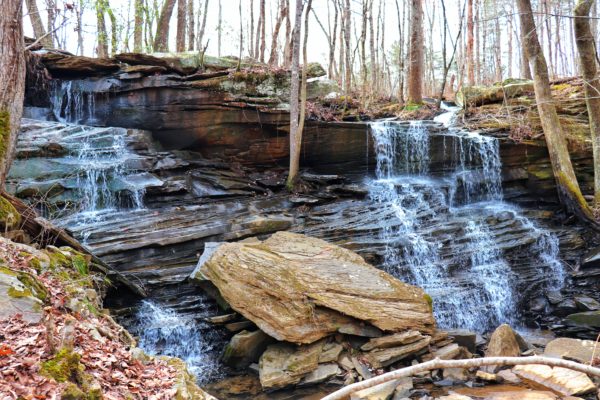
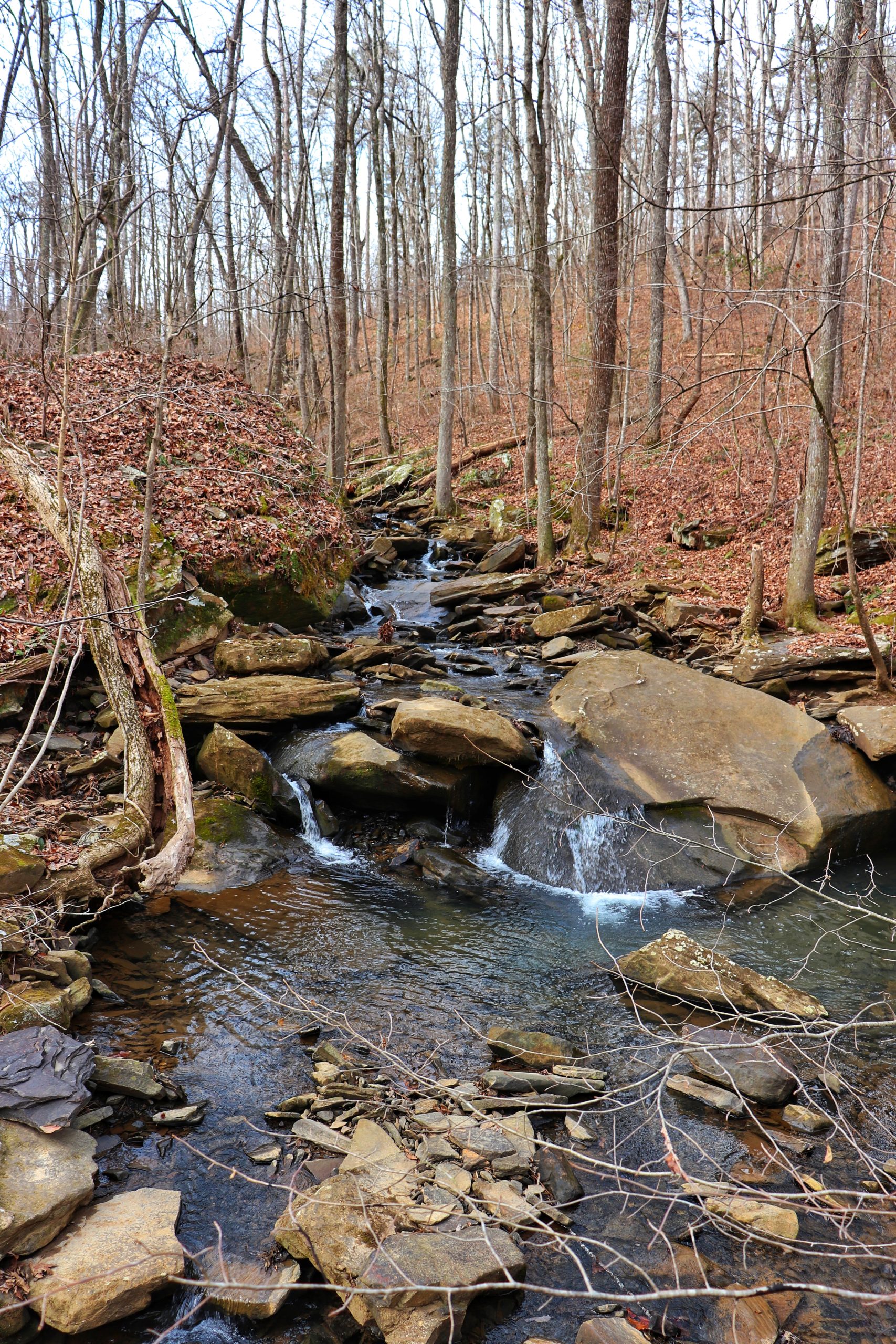
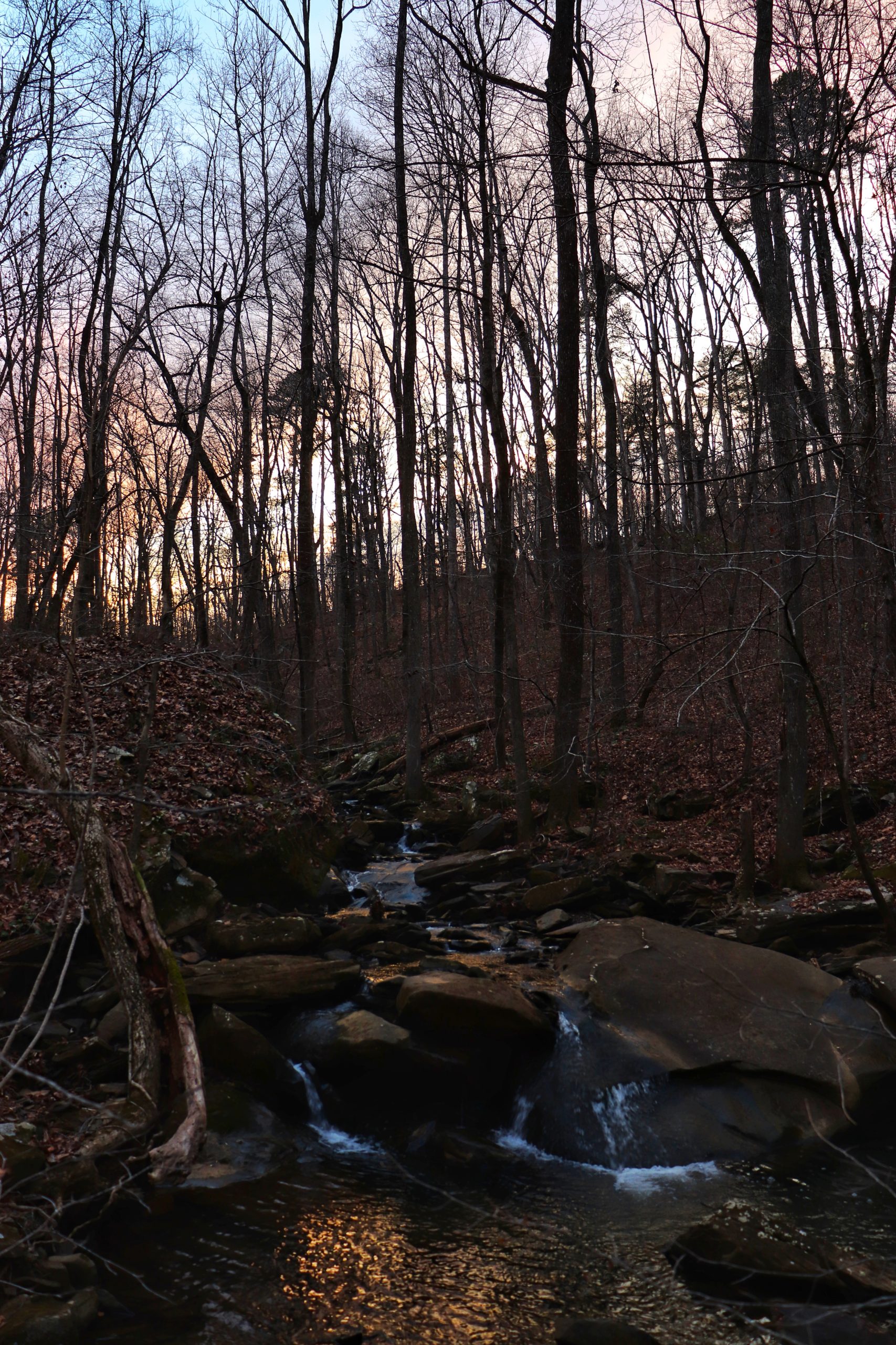
If you’re not looking for a challenge, I still highly recommend visiting the Heiss Mountain Trailhead. Richey Ridge Falls is a waterfall right near the start of the trail. It’s still a short hike to get to it with a downward slant. But hiking to just see this waterfall still makes the trip worthwhile.
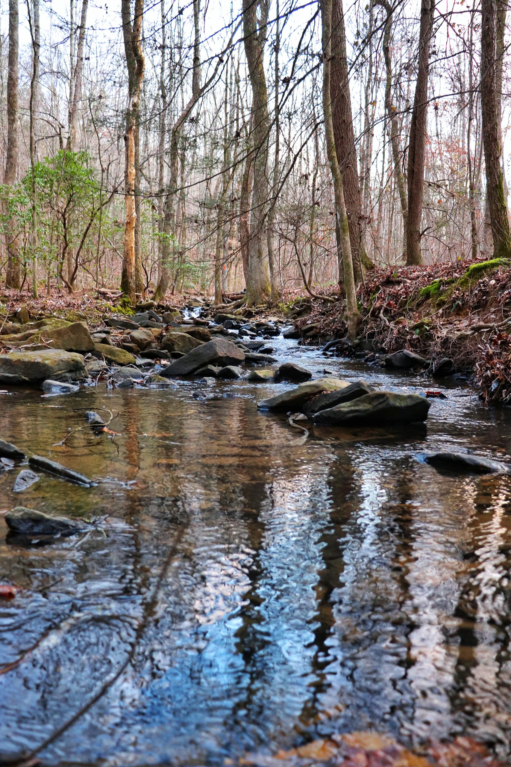
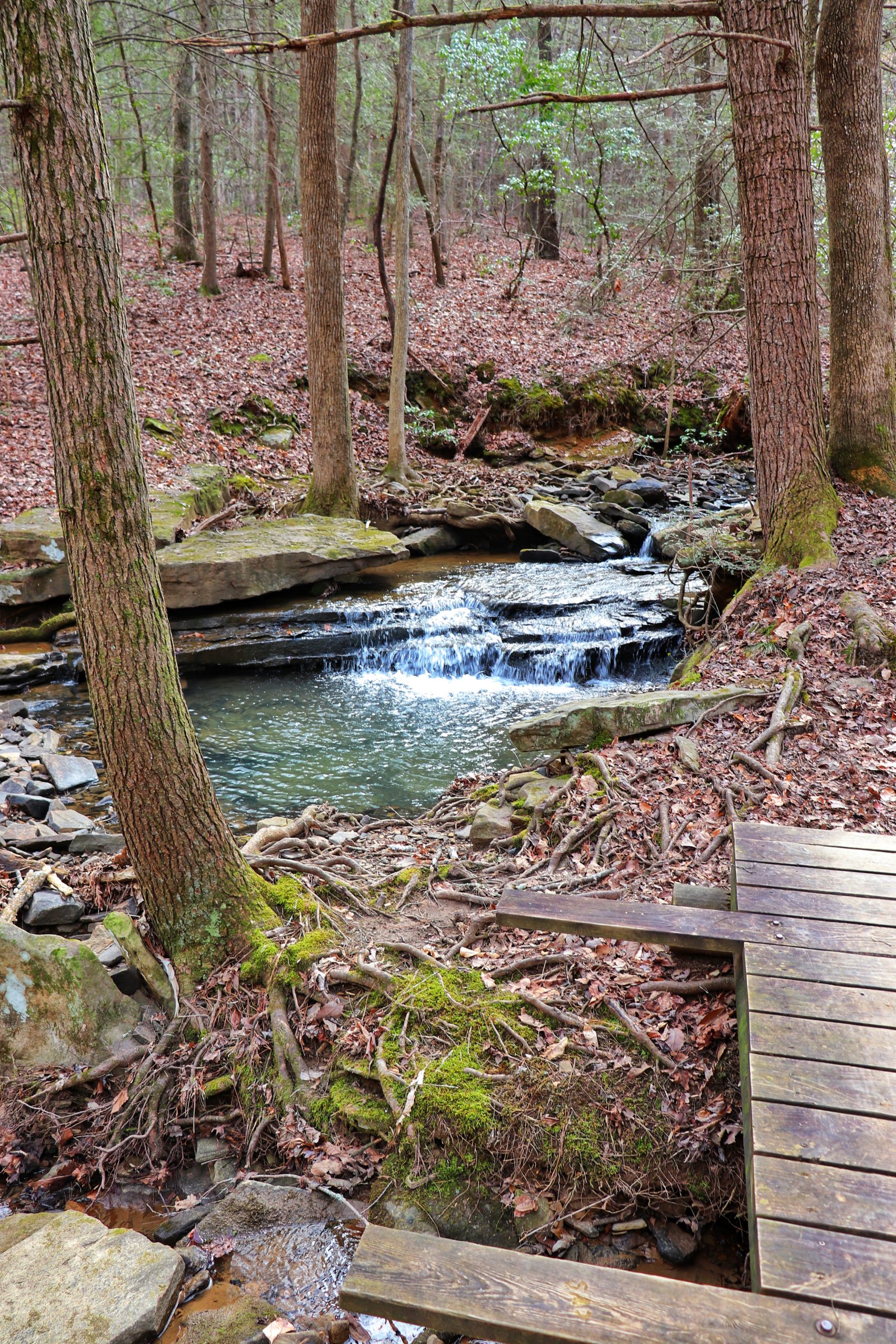
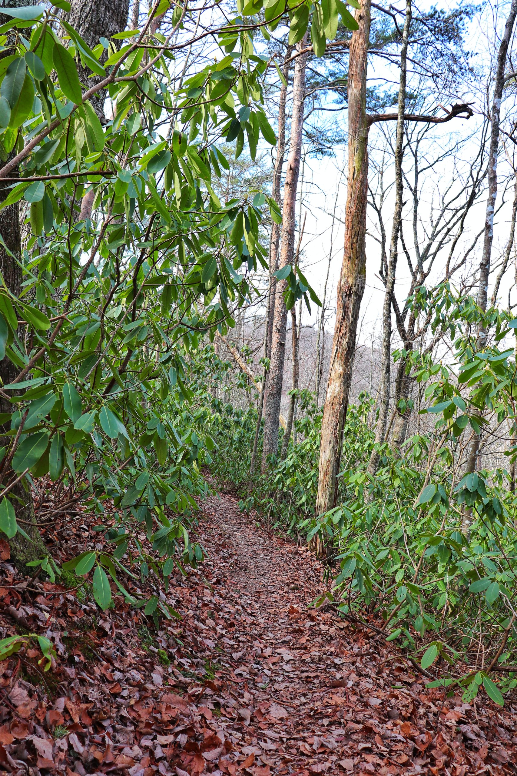
If you want to hike a little further than that, consider continuing down the trail a ways. Cross the little bridge and follow the creek. There’s plenty of places to stop and enjoy the creek access along the way. The hike back, although uphill, isn’t as aggressive as further down the trail.
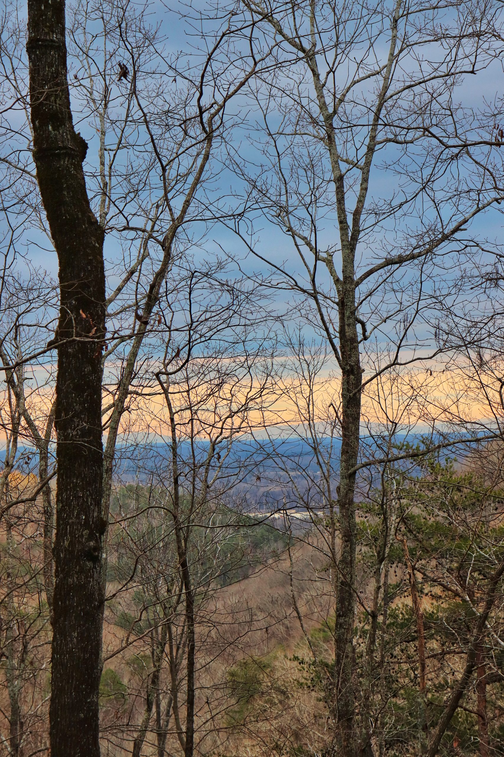
Perkins Point Overlook
I honestly do not know where the overlook is for Perkins Point. The trail curves inward avoiding the bluff called Perkins Point and park boundaries are posted on the trees between the bluff and the trail. I do not recommend hiking to the bluff as it’s outside of the park boundary.
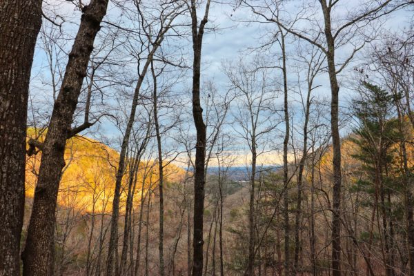
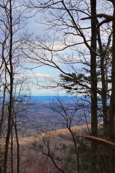
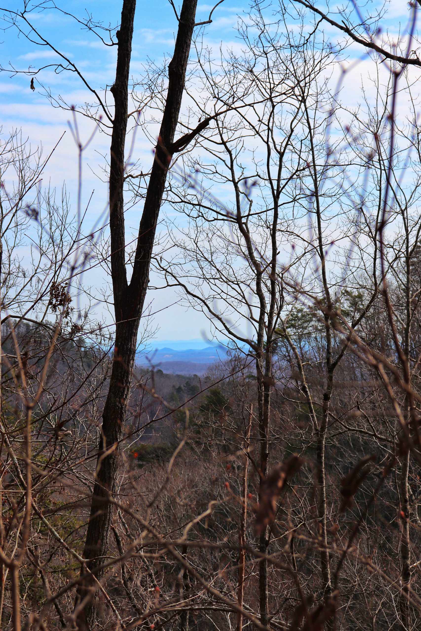
My sources suggest that the overlook is down a 100ft long side trail marked with yellow blazes. This trail is supposedly 2.7 miles in from the Heiss Mountain Trailhead. My friends and I looked for it and hiked just over 2.7 miles, but never could find it. I can’t help but wonder if it was further down the trail than we went, even though we went down quite a ways. Next time I hike this trail, I’ll be on the lookout for it and if it’s found I will let you know. But the views from the trail at Perkins Point are still beautiful which you can see in the photo below.
Tips for Your Visit
Prepare for a long day if you plan to do a longer hike like we did. Pack plenty of water and snacks because this hike is strenuous. Be sure to give yourself plenty of time and pack a flashlight just in case it starts getting dark on you. This trail is best hiked in winter because the trees are bare. This way you can see the views from a lot of areas along the trail which would otherwise be blocked by foliage.
Final Thoughts
This hike is very challenging, the most challenging I’ve done yet. But it’s well worth it for all the views and natural beauty. I cannot wait to hike this trail again and do the full 9.5 miles of it. When I do, you know I will take you along with me. In the meantime, have you hiked here before? I’d love to know your thoughts. Have you found Perkins Point Overlook? Let me know in the comments below. Have fun out there and I’ll see y’all next week! To watch the video of this adventure, click HERE.