Big Soddy Creek Gulf is a popular park located in Soddy Daisy, TN, just north of Chattanooga. Creeks, waterfalls, swimming holes, and more can be enjoyed here via easy-to-moderate hiking trails.
Disclaimer: This post contains affiliate links. That means that I may receive a commission from the products I’ve linked below if you purchase any, at no extra cost to you. I have shared these links because I truly love these products and believe you will too. Thank you for your support!
PLEASE BE RESPONSIBLE. When you use outdoor spaces, take out what you bring in. Do not litter or alter nature in any way. Let’s keep these beautiful places amazing so that we can all enjoy them for years to come.
Every season at Big Soddy Creek Gulf is worth a visit. In the wintertime the water is flowing with the extra rainfall. In the springtime, you can see beautiful wildflowers along the trails. And Chattanooga summer fun can be had at Big Soddy Creek Gulf. I love this location because there are plenty of swimming spots as well as long hiking trails to fill your day. Continue reading to learn more about this wilderness oasis and tips for your visit.
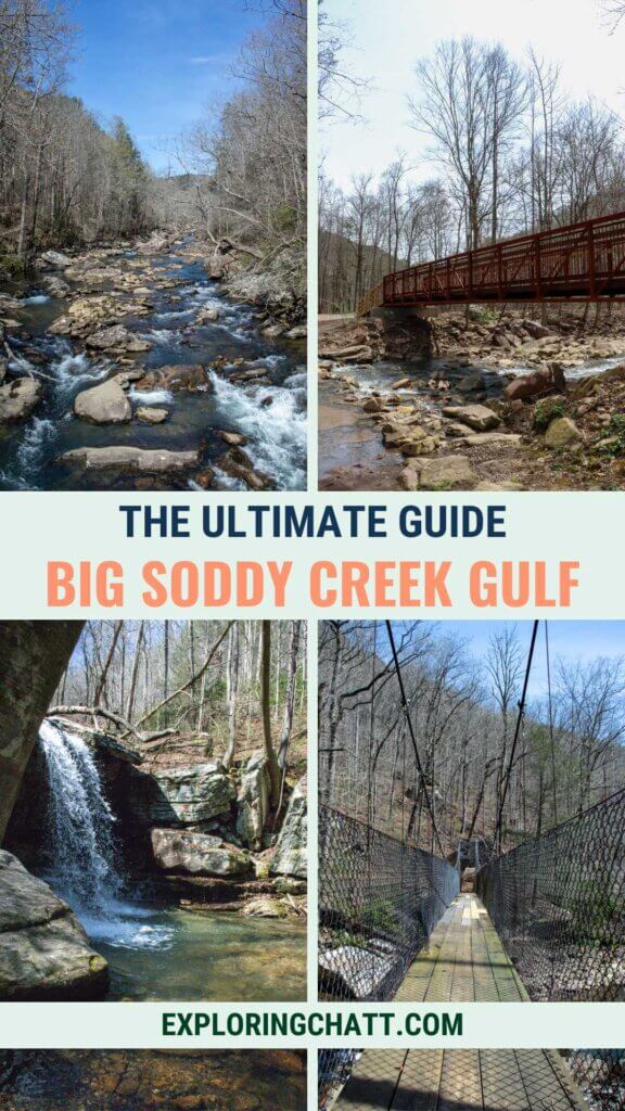
In a hurry? Pin this post for later:
Big Soddy Creek Gulf
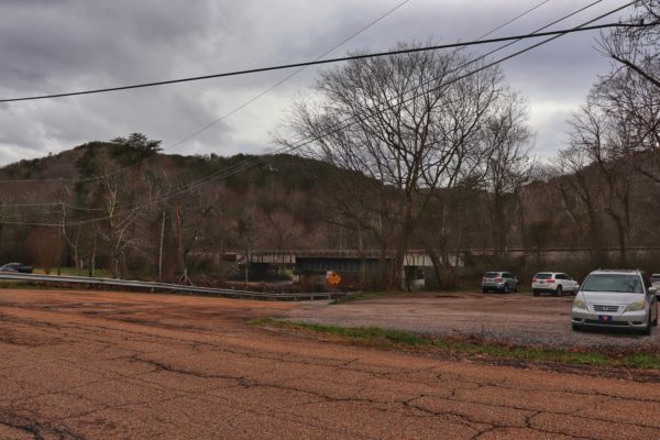
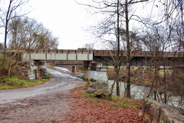
The park is 285 acres full of forest, mountains, creeks, waterfalls, hiking trails, and swimming spots. You can visit the park anytime between sunrise and sunset. There are two large gravel lots to park in, one right off the road, before the railroad bridge overhead, and one behind it by the trailhead entrance. There are also porta-potties at the trailhead and along the main trail in the first section of the park.
The Trails of Big Soddy Creek Gulf
These trails don’t have actual names except for the Main Trail, which was named after Jim Adams in 2017, and the Cumberland Trail. But the park trails must be hiked in order to reach the Cumberland Trail sections. So, I’ve broken down the unnamed trails by section and named them according to their features. At the end of this post, I’ll share a trail map, mileage, and my suggested hiking route.
Main Trail
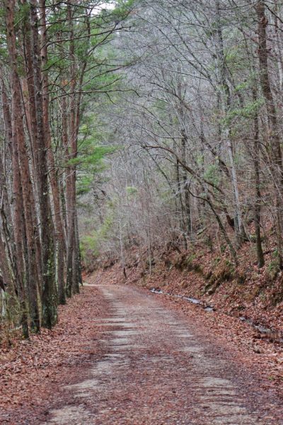
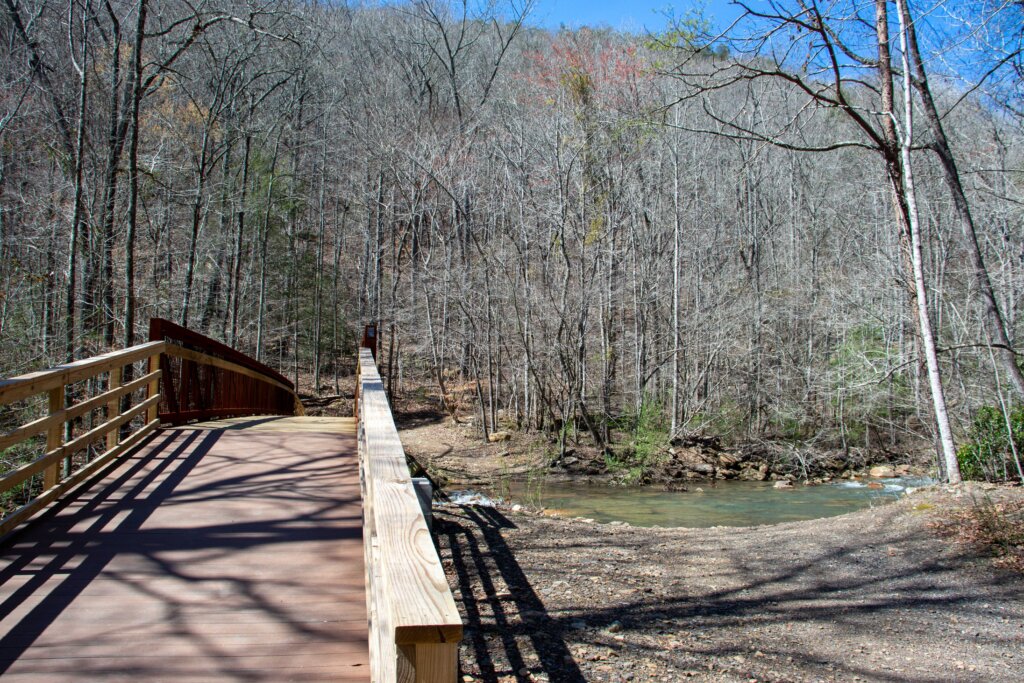
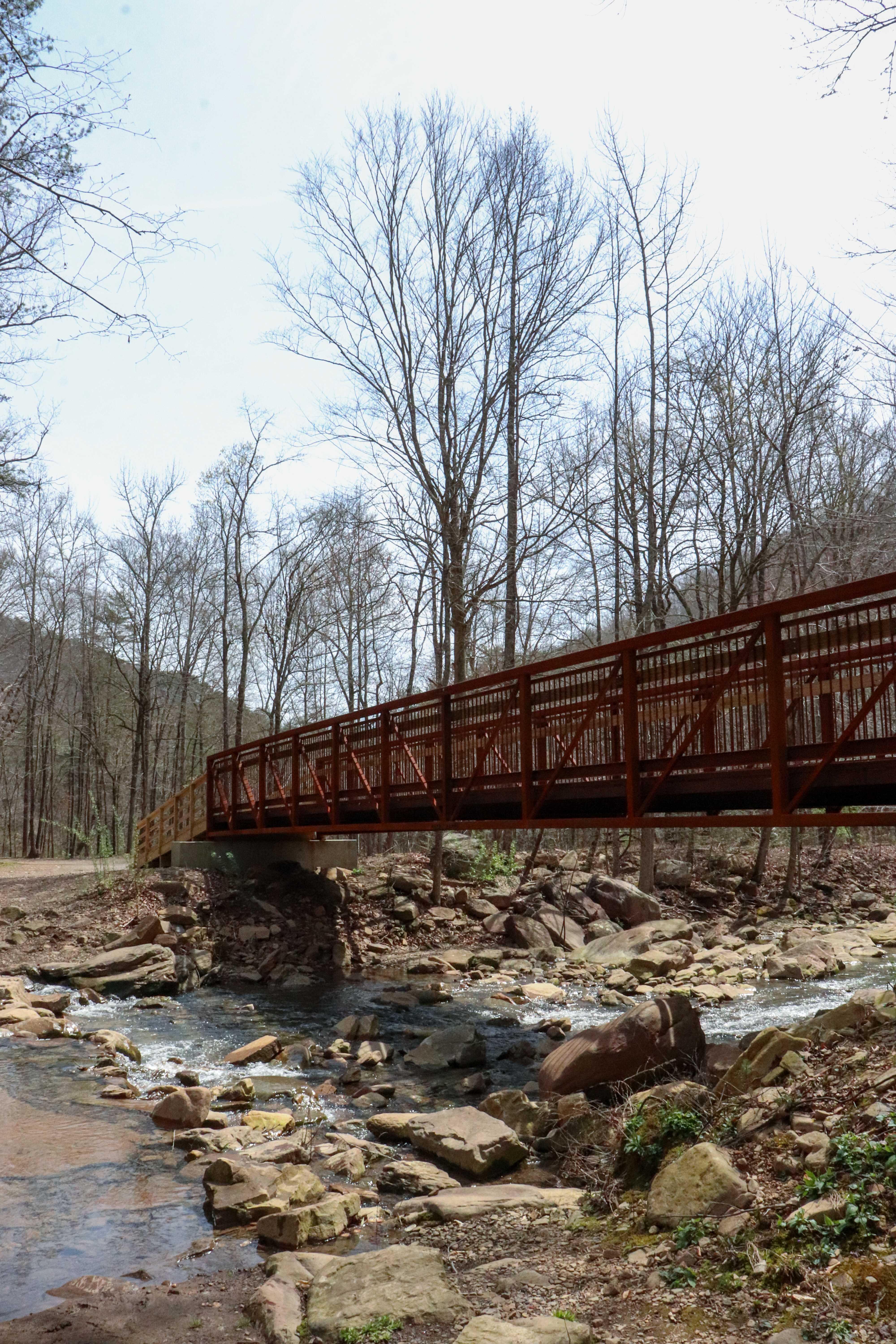
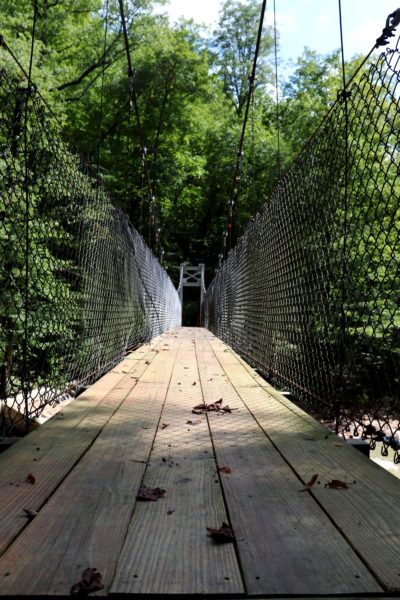
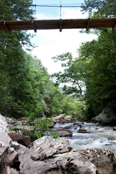
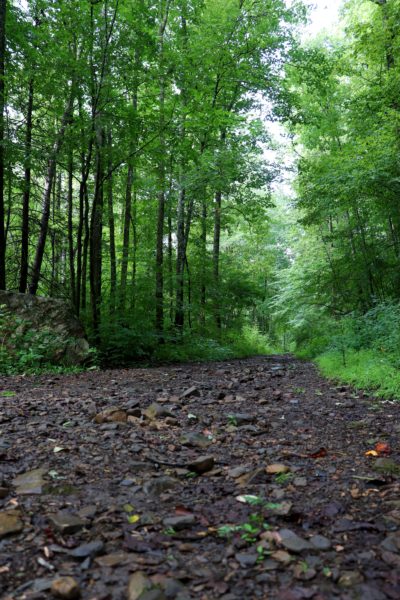
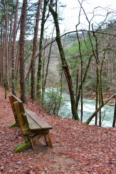
Even though the Main Trail is now called the Jim Adams Wilderness Walkway, I’m going to refer to it as the Main Trail for this blog post. It’s the first section of the park and is the most traveled trail here. It’s common to see most people here compared to anywhere else in the park. The trail is wide, fairly flat, covered in gravel, and has the Soddy Creek raging on the left side. It goes on for about 1.25 miles before crossing Board Camp Creek.
There is a new bridge to cross the creek, which makes hiking the rest of the park a lot easier. In the summertime, you can still cross the creek on foot if you want to, for fun. The water is shallow, and if it hasn’t rained a lot, the flow shouldn’t be too strong. Once you cross the creek, this is where the trail narrows, turns to earth, and splits into opposite directions.
Going Right Trail
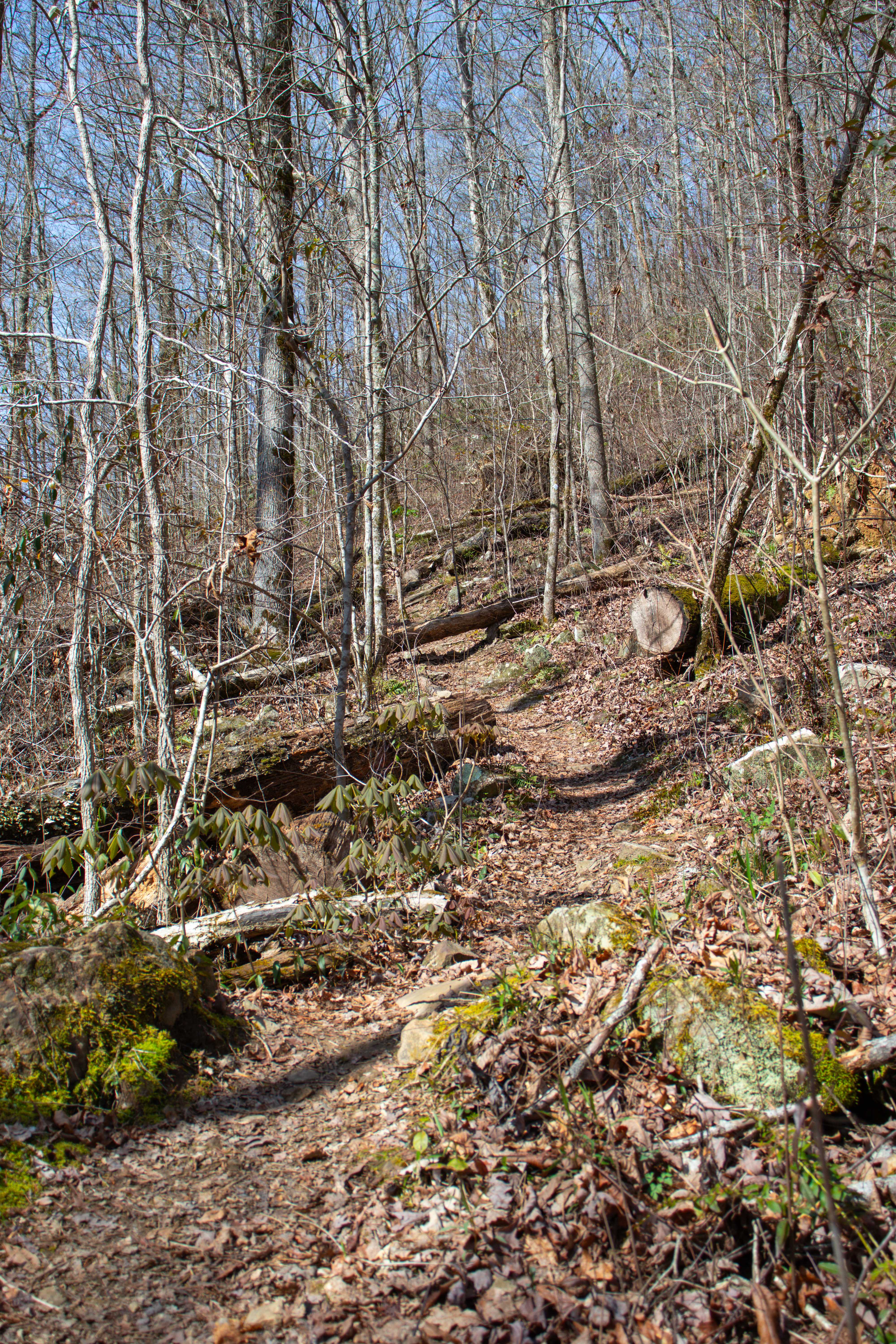
If you choose to turn right at the split, you’ll follow Board Camp Creek upstream with an easy, gradual incline. Along the way, you’ll see plenty of swimming spots perfect for summertime refreshment, and even a waterfall. Eventually, this trail meanders its way up the ridge via switchbacks and meets an intersection of the Cumberland Trail. Note that water run-off is common on this trail, so it’s usually muddy or wet with flowing streams.
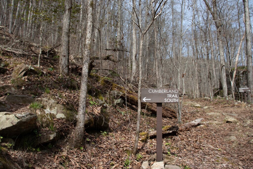
Cumberland Trail
The trails at Big Soddy Gulf Creek meet up with the Cumberland Trail in the middle of the Soddy Creek Gorge Section North. This section of the Cumberland Trail is just over 12 miles in length. If you take the Going Right Trail up to this point, you’ll see signs explaining which direction you can head on the Cumberland Trail if you choose to. The North side eventually leads to Highway 111 and the Heiss Mountain Trailhead. I have not hiked this section yet so I’m not sure what cool features it offers, but if you read the Heiss Mountain blog post linked right above, you’ll see what some of the next section holds.
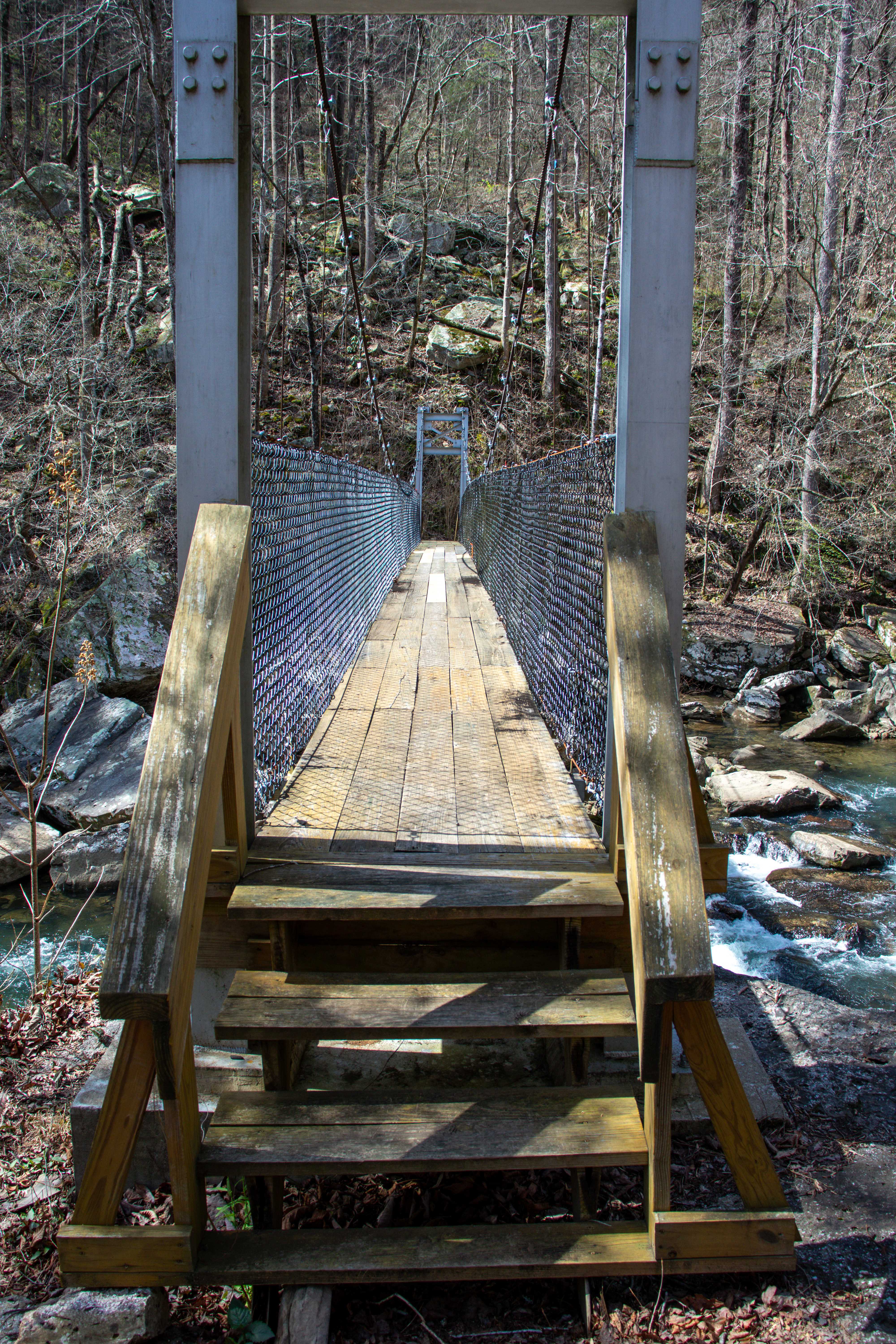
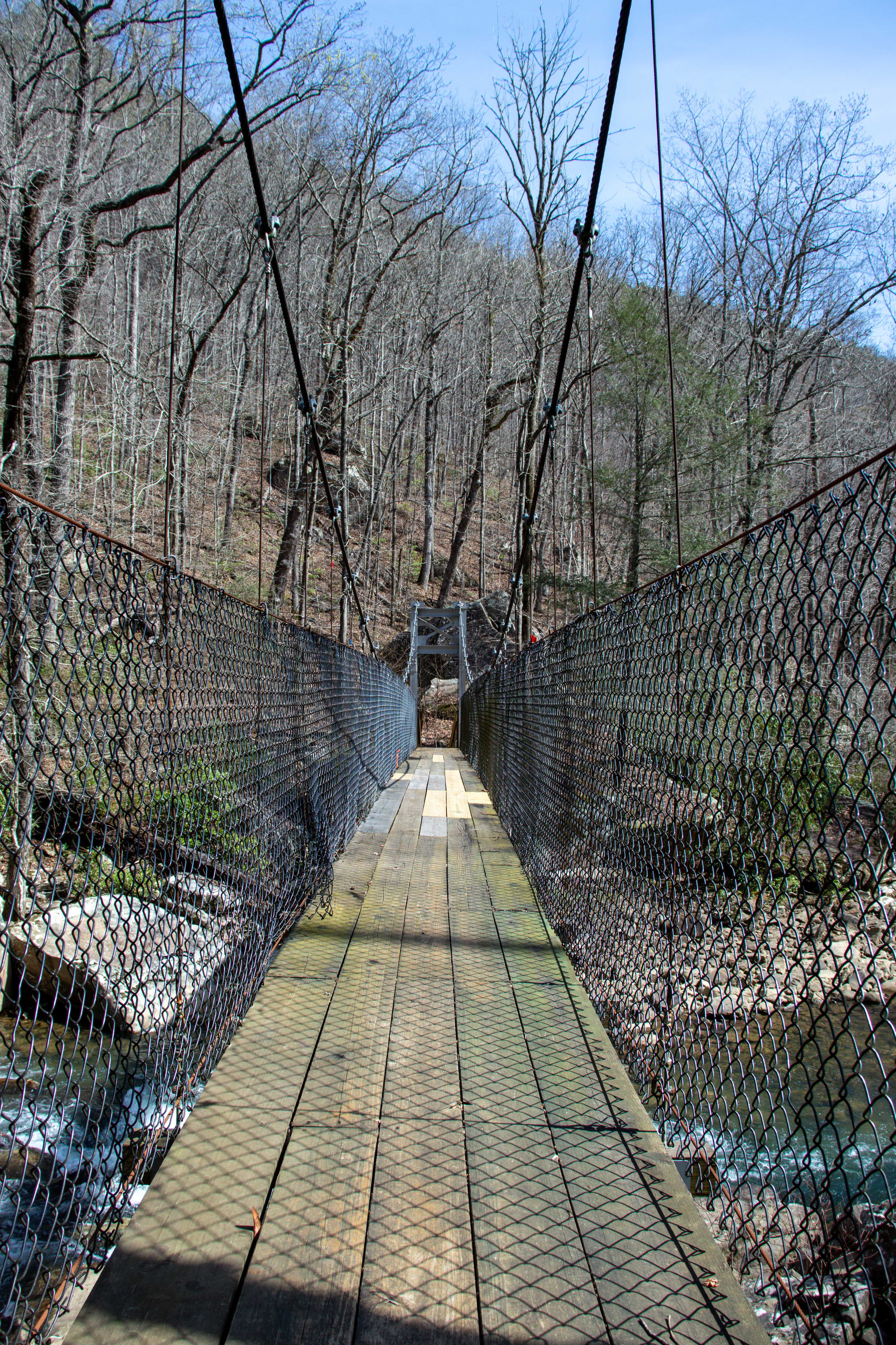
The South side eventually leads to the Hotwater Road Trailhead. I’ve only hiked this section down to the bridge over Soddy Creek. And can say that it’s a fairly easy trail along the ridge that remains mostly flat until it descends down to the bridge via long switchbacks.
Going Left Trail
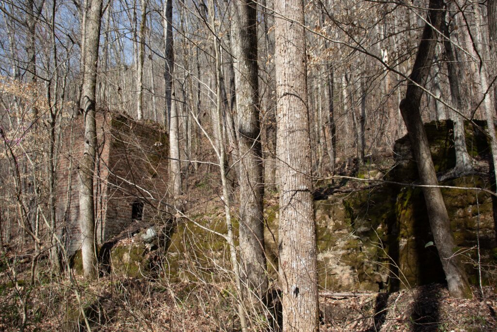
Back at the first bridge where the main trail splits, you can also choose to go left. If you do, you’ll find it remains mostly flat, closer to creek level. As it continues to follow Soddy Creek upstream, just like the Main Trail does. In less than a quarter mile down this trail, you’ll see the ruins pictured below.
Creek Trail or Impossible Trail
After half a mile on this trail, you’ll come to a narrowing fork. If you go left, it continues down to the creek in about a quarter of a mile. Or you can go right, which is a difficult trail straight up the side of the ridge. I do NOT recommend this trail. It’s one of the steepest I’ve encountered in years of hiking, with nearly 500 feet of elevation gained in only a quarter of a mile. It’s also a common water run-off when it rains. So the soil of the trail is extremely soft, unstable, and eroding away.
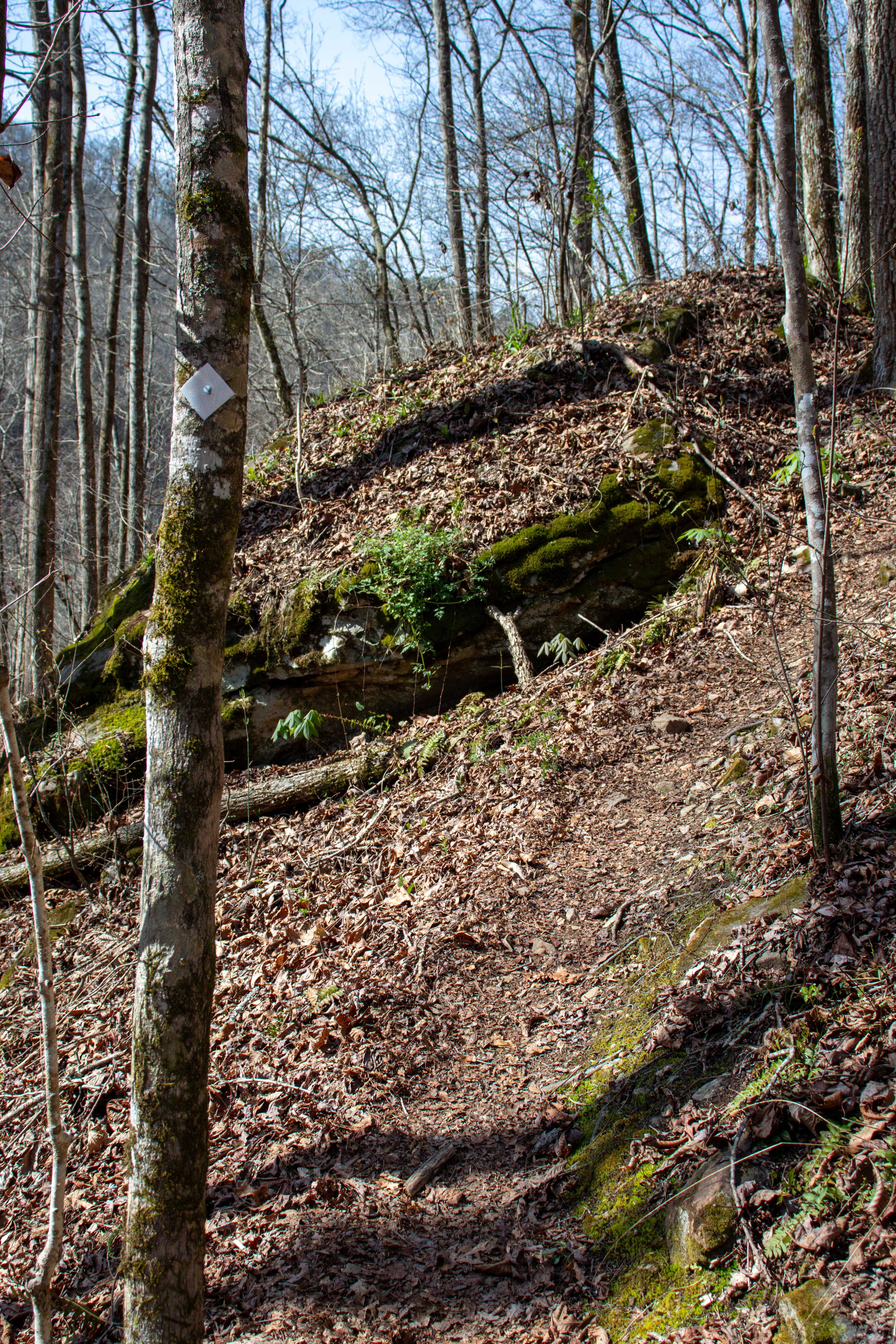
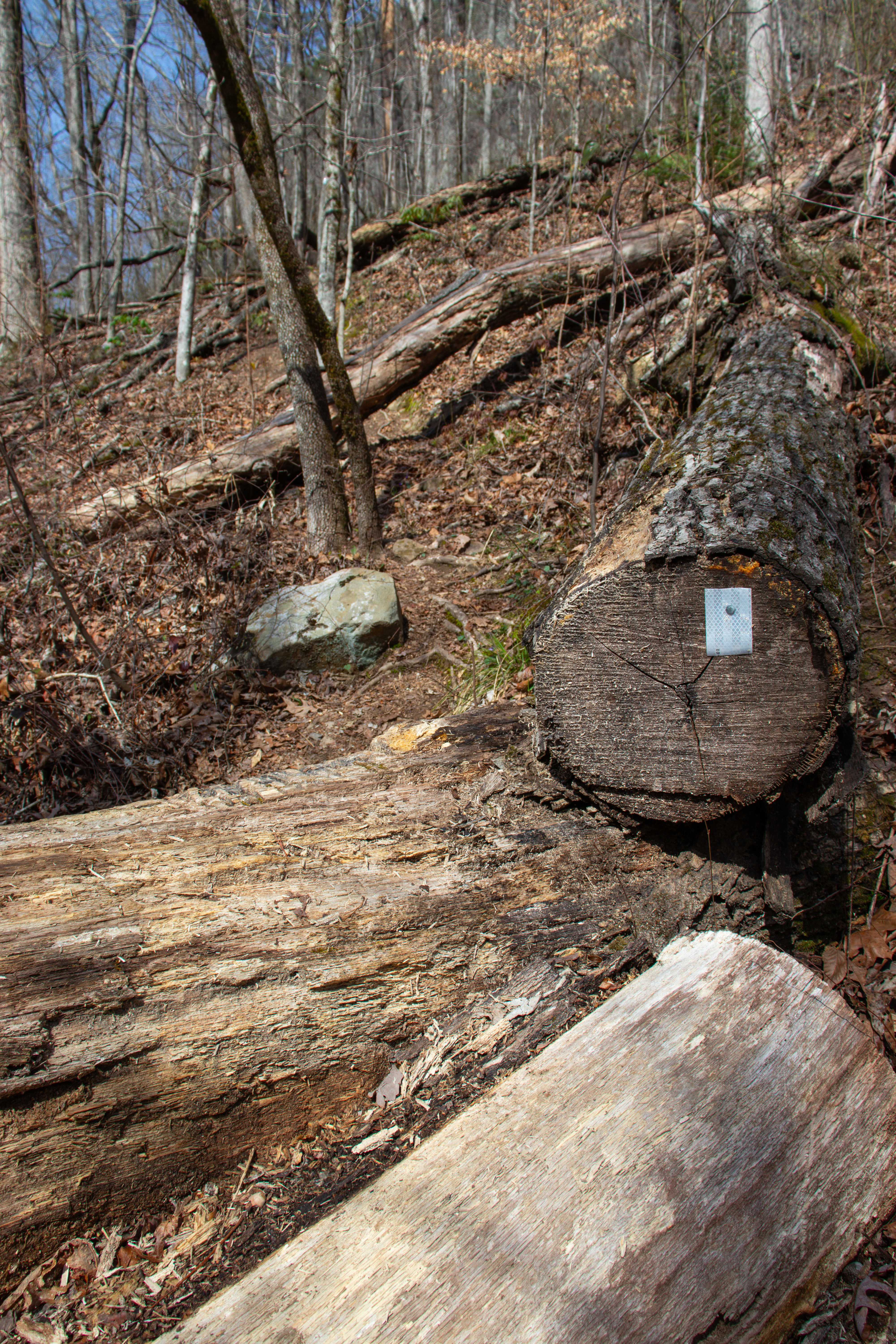
I thought it wasn’t an official trail the first time I hiked up it about 4 years ago. Back then, there were about a dozen fallen trees you had to hurdle over, too. But today, most of the fallen trees have been sawed through, making it easier to pass. And there are white trail blazes the entire way up, further proving that this is an official trail. At the top, it meets up with the South Cumberland Trail section, closer to the bridge.
Waterfalls at Big Soddy Creek Gulf
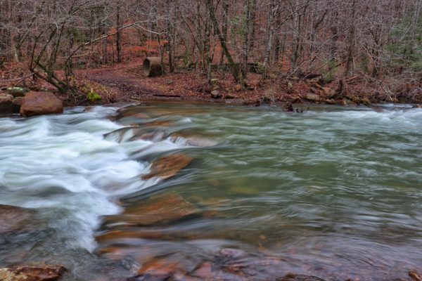
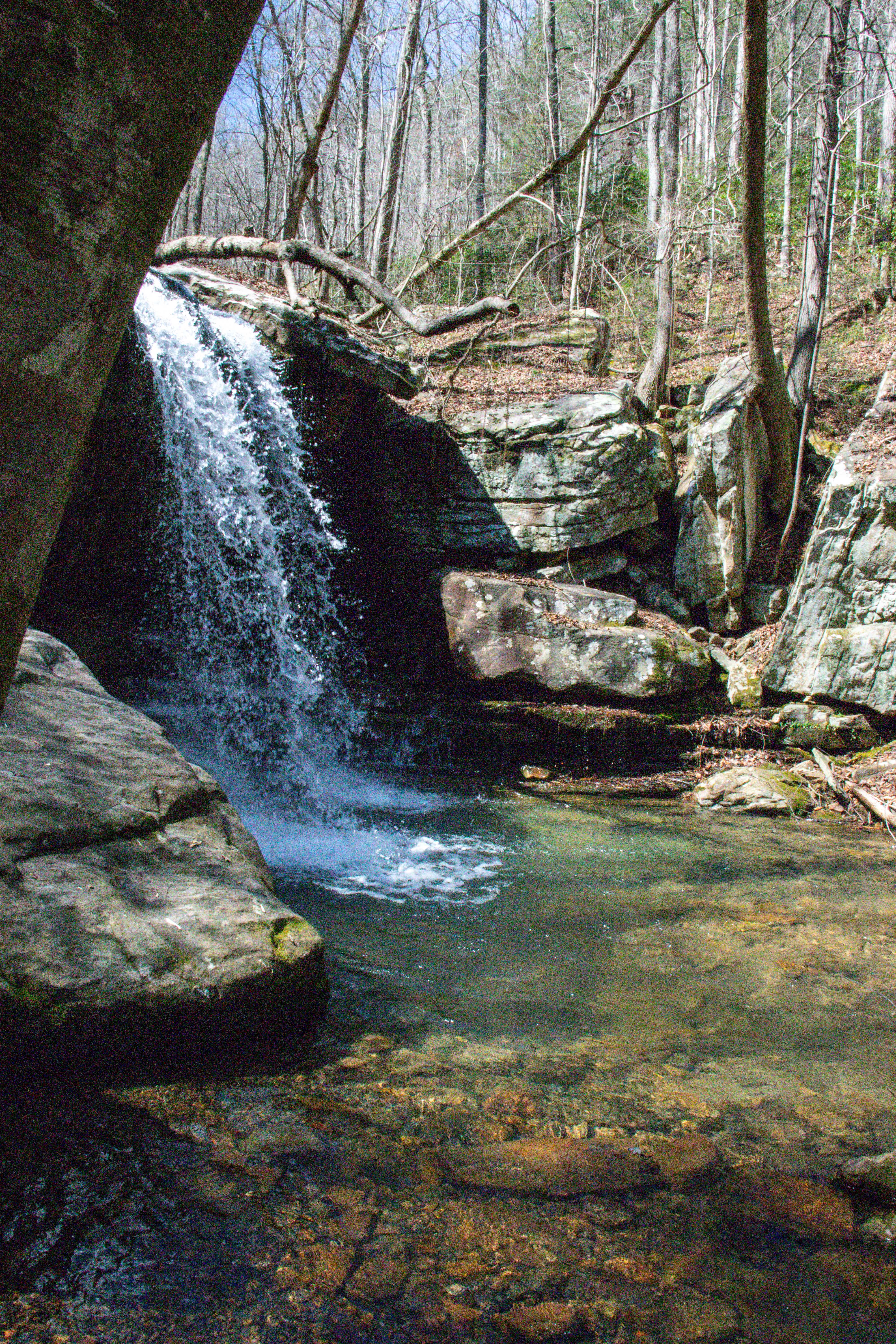
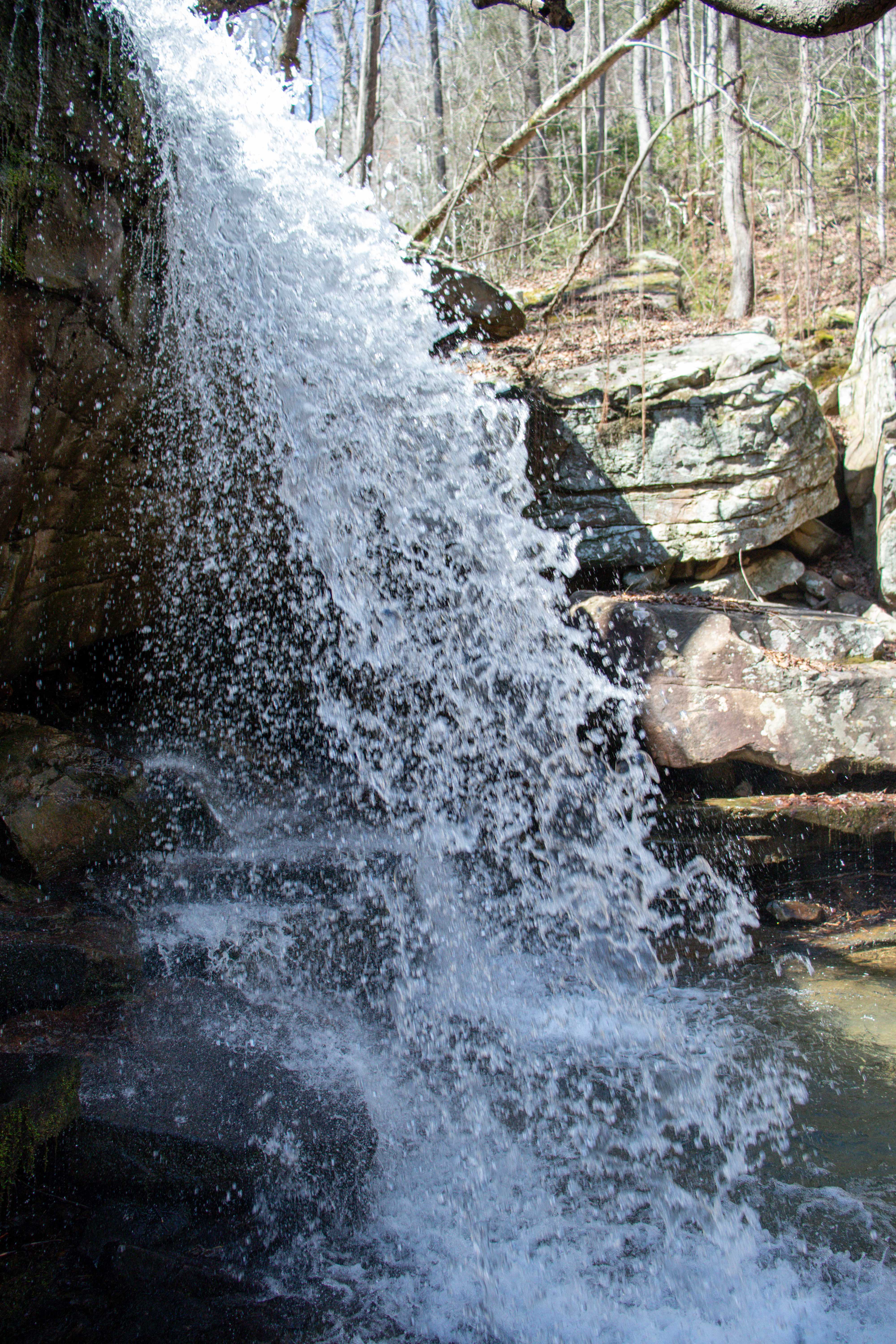
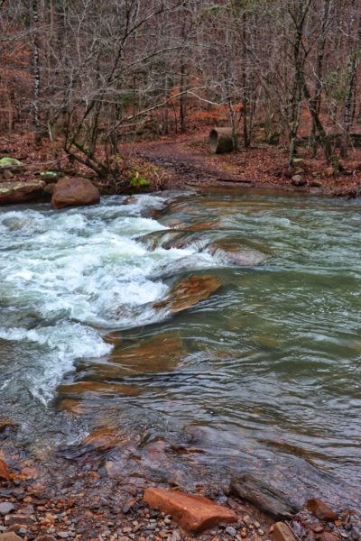
On the Main Trail, 1 mile down, is the first waterfall you’ll see. From the rock bluffs on the right side, this waterfall is almost always flowing. And after rainfall in the winter or early spring, it might even be overflowing. In the photos below, you’ll see one time this happened when I visited after a lot of rain. It was flowing over the trail and creating deep trenches in some places.
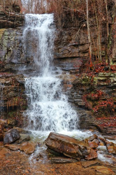
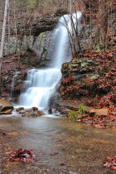
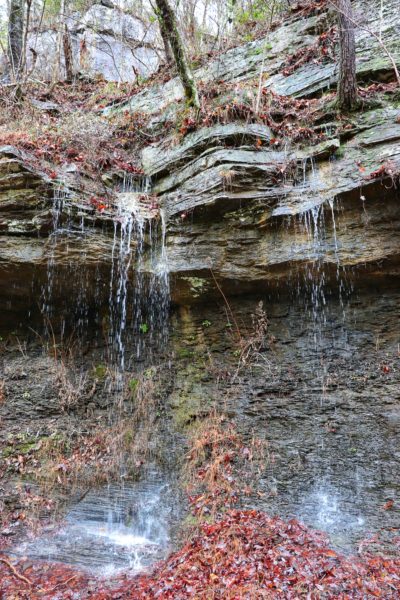
All along the rock bluffs on both the Main Trail and the Going Right Trail, smaller waterfalls flow down. Sometimes they’re just beaded trickles of water that drip constantly. Other times, after a lot of rain, they flow stronger like a small waterfall.
Also on the Going Right Trail is a hidden waterfall that’s easy to find and access. This waterfall is 1 mile up this trail, hidden behind a large boulder. The trail makes its first switchback here, so it’s easy to remember where it is. Simply go straight instead of following the switchback, and soon you’ll hear the waterfall and be able to find it to enjoy.
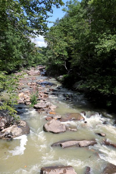
Creeks at Big Soddy Creek Gulf
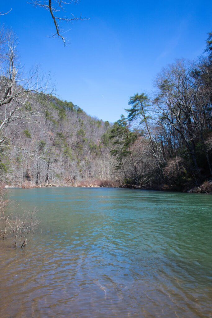
Big Soddy Creek Gulf comprises two creeks, Soddy and Board Camp. Soddy Creek is the main one you can see from both the Main Trail and the Going Left Trail. Board Camp Creek is the one that flows into Soddy Creek and can be seen at the bridge crossing at the end of the Main Trail and along the side of the Going Right Trail.
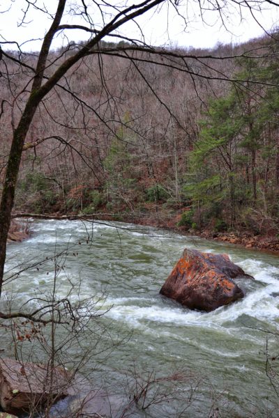
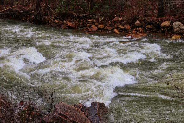
After a heavy rain, the creeks can quickly double in size. In the photos below, you’ll see that both Soddy Creek and Board Camp Creek were practically overflowing one time that I went after rain. But in the summer months, both creeks have excellent swimming holes to enjoy.
Swimming at Big Soddy Creek Gulf
There is a big swimming hole just over .3 of a mile down the Main Trail in Soddy Creek. It’s hard to miss the big area cleared of trees with picnic tables and a porta-potty.
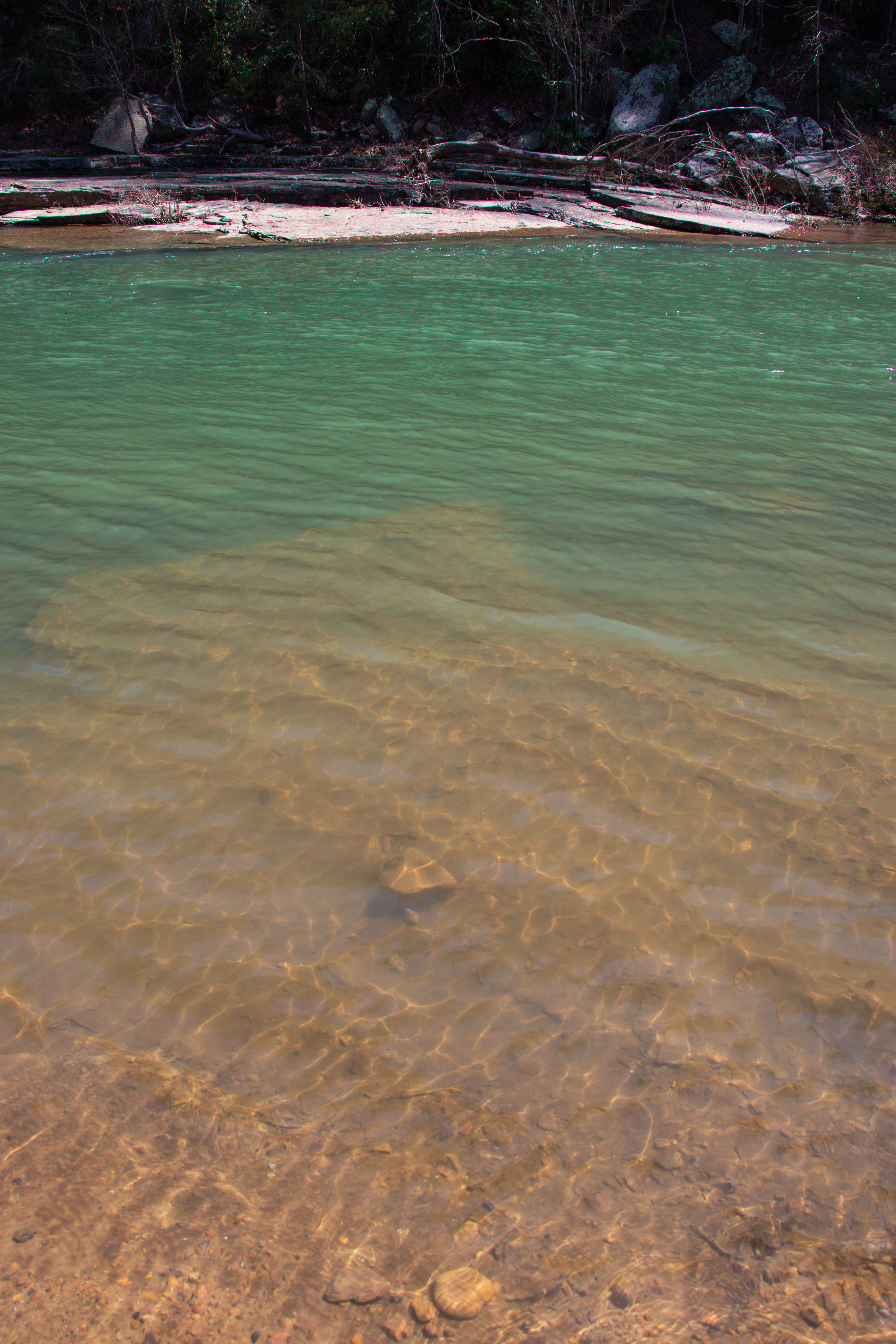
If you continue hiking on and take the Going Right Trail, you’ll find a few different swimming holes, but the main one is my favorite blue hole of all. It’s small, so get here early, but it’s only a 2-mile hike from the trailhead. You’ll see a trail down to it if you watch for the access trail on your right. The access trail is steep, washed out, and slick when wet, so be careful. At the swimming hole is a low bluff you can climb up to jump off into the cold waters for a refreshing summer day.

Biking and Fishing at Big Soddy Creek Gulf
Because of the fairly flat and wide gravel trail, the Main Trail makes for a good, short bike ride. I don’t recommend riding much further than this. Past the bridge over Board Camp Creek, the trails can be too soft and muddy, making a bike ride difficult. But if you just want to ride from end to end of the Main Trail, a bike is worthwhile. It’s perfect for families who don’t want to do a long mileage ride.
Big Soddy Creek Gulf is also a popular fishing spot for Chattanooga. From March through September, you’re limited to 7 trout, but can use any bait you want. However, in the off-season outside those dates, you cannot keep any of the trout and can only use artificial lures. This enables the trout population to flourish and always be readily available to catch and keep during the season.
Trail Map and Mileage
See the map below for a better explanation of each trail and the corresponding mileage.
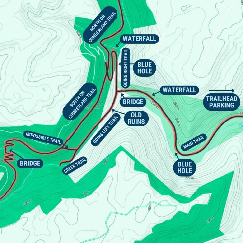
Main Trail
.3 mile: first swimming hole
1 mile: waterfall
1.25 mile: end of main trail; bridge over Board Camp Creek
Going Right Trail
.75 mile: best swimming hole
1 mile: waterfall
1.25 mile: Cumberland Trail intersection
South Cumberland Trail
1.25 mile: bridge over Soddy Creek
Going Left Trail
.25 mile: old ruins
.5 mile: fork -left for Creek Trail (.25 mile) or right for Impossible Trail (.25 mile)
(If you go up Impossible Trail and turn left at the top) 1.5 mile: bridge over Soddy Creek
The Hiking Route I Suggest
If you want to make a day of hiking at Big Soddy Creek Gulf, I would recommend following this itinerary:
- Main Trail
- Going Right Trail
- Take the South Cumberland Trail section to the bridge
- Enjoy lunch and rest at the bridge
- Turn around and hike the same trails back
(Only .25 mile longer overall than taking the Impossible Trail up.)
Tips for Your Hike or Swim
Arrive early and preferably on a weekday. This is a popular park, so it gets crowded quickly. Usually, a parking spot isn’t too difficult to find in the two available large lots.
If you plan to hike or swim at Big Soddy Creek Gulf, make sure you’re prepared. Summer is the best time to take advantage of these Chattanooga swimming holes. Be sure to wear some type of water shoes or sandals. Dress appropriately for swimming and pack a towel for the car ride home. Take plenty of water to drink and maybe some snacks. And don’t forget sunscreen!
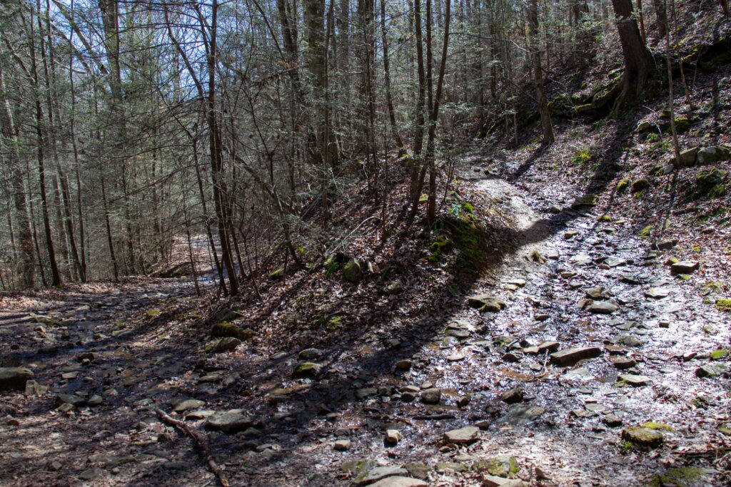
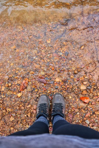
If you’re hiking in the colder months after a heavy rainfall, be prepared to wade through water. In the winter, wear waterproof hiking boots, especially after it has rained. Hiking boots will give you a better grip on the wet surfaces and keep your feet safe and warm from the cold water you may have to step through. I’m very glad I wore my hiking boots on one winter hike because of this water crossing pictured below. For more of my hiking favorites, be sure to read my Hiking Essentials Guide.
Closing Thoughts
This park is fantastic all year round. Enjoy a great Chattanooga summer day at Big Soddy Creek Gulf with the various swimming spots. Or see all the waterfalls in the winter or spring after a lot of rain. No matter when you decide to go, you’ll see why this park is so well-loved.
Check out my old YouTube video from years ago when I first visited my favorite blue hole. And if you want to see this place in a different light, watch the winter after-rain hike video as well.
Have you visited this popular park yet? What’s your favorite part? I’d love to know! Leave a comment down below so we can chat about it. Until next time, enjoy exploring Chatt!

Explore These Nearby Chattanooga Trails and Swimming Holes:
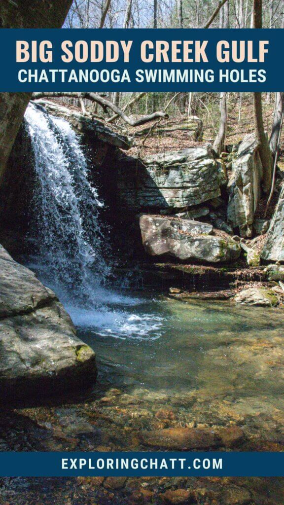
Inspired? Pin this post for later:
nice article.thanks
Thanks!
I just want to thank you for publishing this guide. It was my first visit to this area and it helped tremendously. I especially loved the map with all the highlights pointed out . It was so easy to follow! We took your recommended route this time but plan to go back again to see the Going Left Trail and part of the North Cumberland Trail.
Thank you, I really appreciate the feedback! Sounds like fun! Just be prepared to grasp at tree roots on your way up if you decide to tackle the “Impossible Trail”, haha.