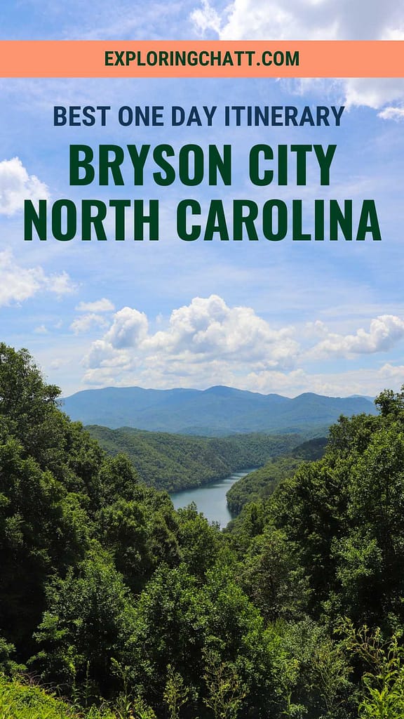
For such a small town, there’s a lot to do in Bryson City, NC. Here’s the best day trip itinerary to enjoy the outdoors in Bryson City.
Disclaimer: This post contains affiliate links. That means that I may receive a commission from the products I’ve linked below if you purchase any, at no extra cost to you. I have shared these links because I truly love these products and believe you will too. Thank you for your support!
Let me narrow things down for you. Bryson City, NC, is about a three-hour drive from Chattanooga, TN. It might be a lengthy drive but it’s one of the most scenic drives into the Smoky Mountains. I highly recommend taking a day trip to this beautiful place. Keep reading to learn more about the outdoor fun you can enjoy here.
In a hurry? Pin this post for later:


Purchase a downloadable Google Map with all the stops listed in this post (and more) so you’re ready to explore Bryson City!
Deep Creek
Deep Creek is a popular tubing spot right outside the quaint, downtown area of Bryson City, NC. There are places where you can affordably rent tubes for the entire day and float down the creek as much as you’d like. Unlike most places that shuttle you upstream, you must carry your tube up the trail yourself here. I have yet to try this, but I plan to make a trip back just for tubing. I’ll fill you in on that experience when I do.
Deep Creek is also loaded with hiking trails and waterfalls, making it the perfect first stop on this day trip. Arrive early because this place gets crowded quickly in the summer months. I got here a little after 9AM and the parking lot was almost half full already.


Juney Whank Falls
Hike up to Juney Whank Falls via Deep Creek Horse Trail. The hike up is a bit steep, but overall, the hike is less than a quarter of a mile long. While I was there, they were completing trail work on the other side of the falls. So, that section of the trail was closed. From here you can hike back down to the trailhead or continue around the Juney Whank Loop Trail which will take you to the next trail you must explore.

Tom Branch Falls
Deep Creek Trail is the next trail that will quickly bring you to Tom Branch Falls. The hike is fairly flat and also under a quarter of a mile to the falls. Along the way there’s a few spots for creek access. And right in front of the falls is another great spot to get in and wade in the cold water. There’s also benches here to rest and really take in the scenery.

Indian Creek Falls
Continue up Deep Creek Trail towards Indian Creek Falls. Along the way you’ll cross Deep Creek where for the first time, it’s actually deep. Enjoy the view of the creek from the large bridge. You’ll only have to hike for about half a mile until you reach the intersection for Indian Creek Falls. The waterfall is only a 200-foot walk from here. Overall, the hike to this point is also fairly flat and easy. Indian Creek Falls is further below the trail. Accessing the swimming hole below it is possible, although a slippery and steep descent.

After cooling off in the creek and enjoying the sights and sounds of the waterfalls, it’s time to head back. Now we drive fifteen minutes up the road to the next stop.
Purchase a downloadable Google Map with all the stops listed in this post (and more) so you’re ready to explore Bryson City!
Fontana Lake Overlook
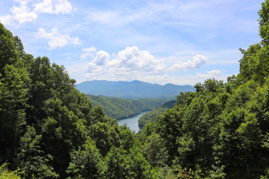
Fontana Lake Overlook is on Lakeview Drive and boasts breathtaking views. From here you can see Fontana Lake (which looks like a river) surrounded by the Smoky Mountain peaks. This road is less crowded than Deep Creek making it the perfect place to spend your afternoon. While the crowds are tubing down the creek and hiking the trails, you’ll be taking in the beauty on Lakeview Drive.

Noland Creek Trail
Continue up Lakeview Drive just a few minutes more and you’ll see the parking area for Noland Creek Trail. This trailhead can take you a mile down to Fontana Lake. It also serves as a trailhead for connecting trails through the Smoky Mountains. For hiking to the lake, there’s a steep downhill but the trail levels out quickly. There’s not much creek access from this trail, but I love how the trail cuts back and forth across the creek using wooden bridges. You actually get to cross the creek four times this way and get a really good view of it. The trail ends at Fontana Lake where Noland Creek pours into it. This is just one small mouth of many into this huge lake.


The Road to Nowhere
After your hike, continue up the road to the final stop and the end of this road. The Road to Nowhere. There’s a parking lot here so you can get out and walk. It’s a short walk up to the quarter mile long tunnel that signals the end of Lakeview Drive. The story behind the end of this road is really quite sad.

History of the Road to Nowhere
Way back in the 1940s, the government had to move the residents of this area. This was necessary in order to build the Fontana Dam, which then formed Fontana Lake, and part of the Smoky Mountains National Park. The dam was built to bring power to manufacturing plants for World War II. Fontana Dam is the tallest dam east of the Rocky Mountains, so you can imagine how much land the reservoir flooded to create Fontana Lake. This cost losing Old Highway 288 and the numerous, surrounding mountain towns.
With the consequences of this descision in consideration, the government agreed to build Lakeview Drive for the former residents of this area. Many families have cemeteries from generations ago on this mountaintop. The road was supposed to allow the former residents to preserve their heritage by giving them access to these family cemeteries.
However, what was supposed to be a 30-mile-long road ended only 6 miles in. It was supposed to stretch all the way to Fontana Dam. But environmental impacts halted the construction of the road. To this day it still stands up until the point of the tunnel. In retribution, the government has given money to Swain County in hopes to rectify this broken deal. I think the best part is that they still offer free ferries to the families during the summer so that they can visit their cemeteries. Ultimately, even though things didn’t turn out as planned, there’s still beauty to enjoy in this place. Learn more about its history and surrounding hiking trails in this brochure.

What It is Today
Today, hiking trails have been built here so this land can still be enjoyed by all. You can even hike from the tunnel all the way to Fontana Dam if you’d like. There’s also camping spots along the way. All of these trails connect to other trails within the Smoky Mountains National Park.
The tunnel is filled with graffiti but it’s still an interesting place to visit. Be sure to bring a flashlight though because the tunnel gets very dark if you walk straight through it. Horseback riders also come through so there may be droppings you don’t want to step in (speaking from experience). If you only want to hike through the tunnel once, there’s a bypass hiking trail to the left of the tunnel that lets you cross through the forest instead. Note that this trail is about two miles in length though, as opposed to the quarter mile tunnel.

Purchase a downloadable Google Map with all the stops listed in this post (and more) so you’re ready to explore Bryson City!
In Closing
This was my first time visiting Bryson City, NC, and there’s still a lot to see and do here. Overall, this itinerary made for the perfect outdoor day trip with just over three miles of easy hiking. I’d gladly do it again and know you’ll enjoy it too.
Watch the video to get a better perspective of how this day trip went. Let me know in the comments below if you have visited Bryson City, NC, before and what your favorite spots are. I’d love to know. Until next time, enjoy exploring Chatt!

More Summer Day Trip Ideas
Inspired? Pin this post for later:


