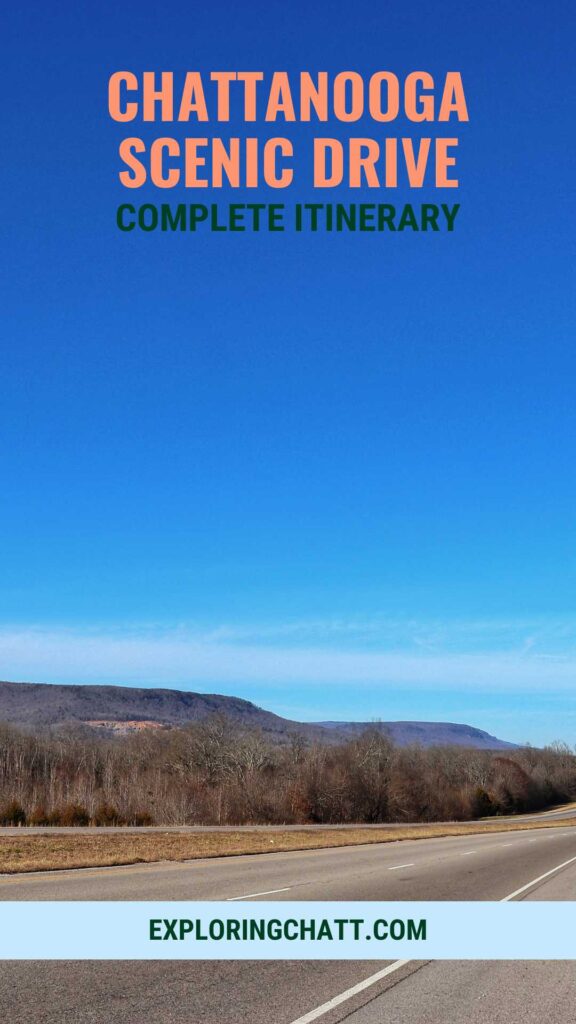
Take in the most scenic views of Chattanooga from mountains to river in this full day scenic drive itinerary.
Disclaimer: This post contains affiliate links. That means that I may receive a commission from the products I’ve linked below if you purchase any, at no extra cost to you. I have shared these links because I truly love these products and believe you will too. Thank you for your support!
Since Chattanooga is considered the “Scenic City” you may be wondering if there’s a scenic drive you can enjoy around here. This is a common question I receive and have already covered in THIS post. But I want to dive deeper into my 2 hour scenic loop drive and make a full day of it by adding scenic stops along the way. So, continue reading to learn more about how to enjoy this full day scenic Chattanooga drive. Links for all stops mentioned will be listed near the bottom of this post.
In a hurry? Pin this post for later:

Purchase a downloadable Google Map with all the stops listed in this post and more so you’re ready to hit the road!
Suck Creek Road
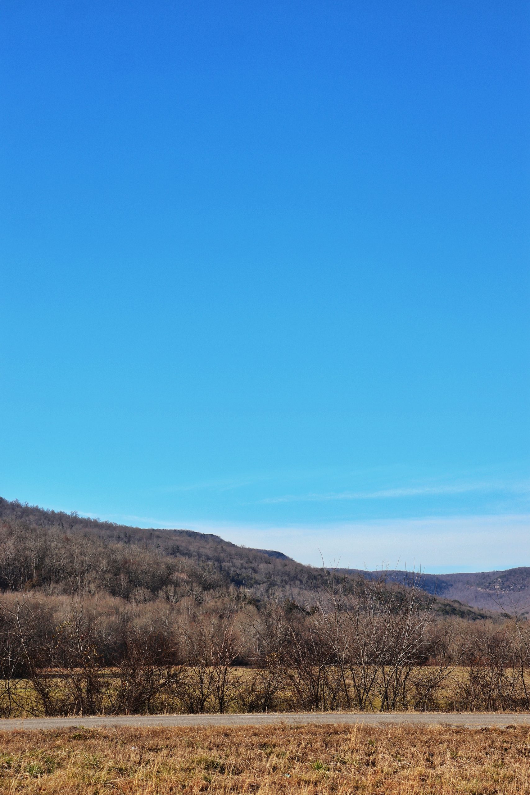
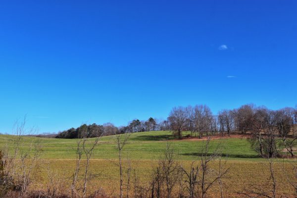
This Chattanooga drive starts at Suck Creek Road, located at the foot of Signal Mountain. The road meanders between the Tennessee River and Signal Mountain. Eventually it climbs up Walden Ridge which is where you’ll find Prentice Cooper State Forest. This is our first scenic stop.
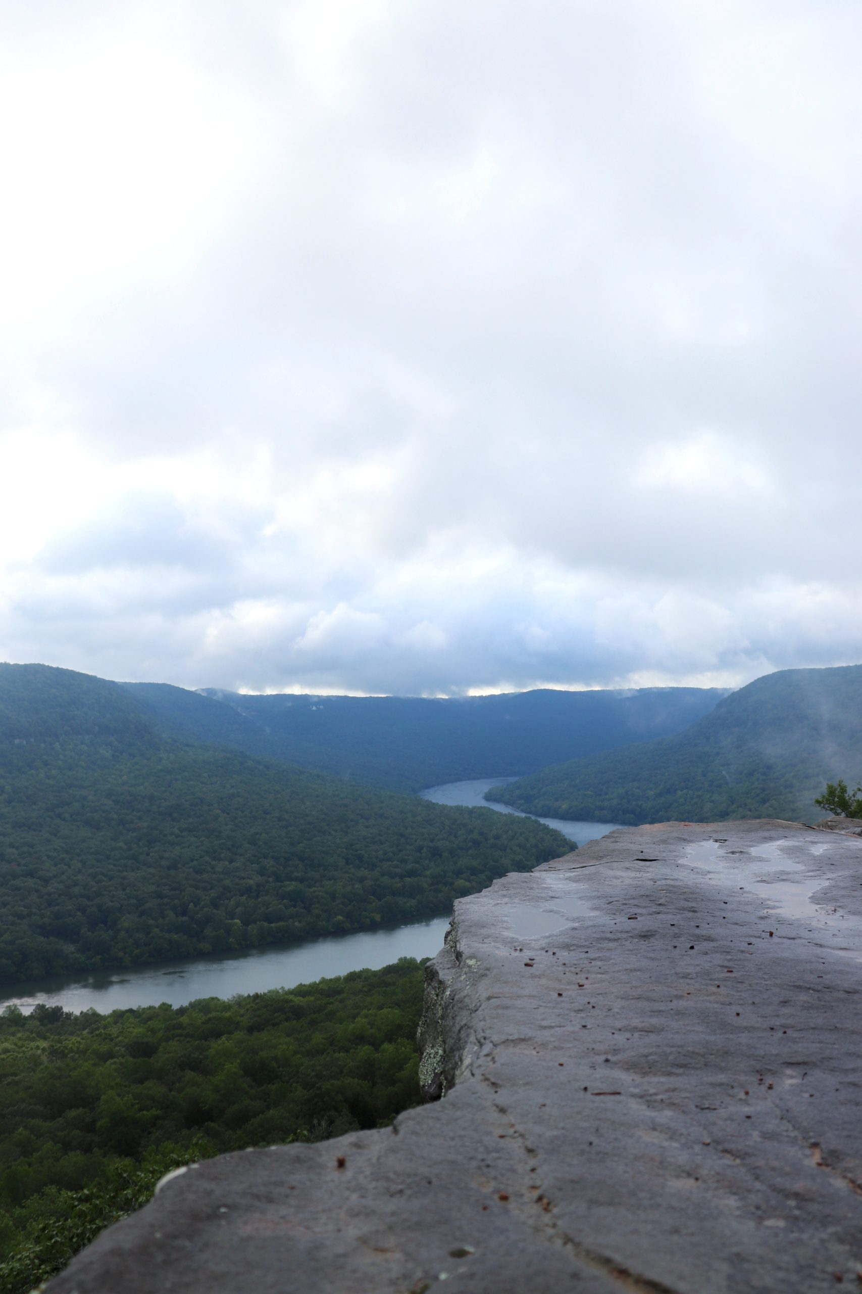
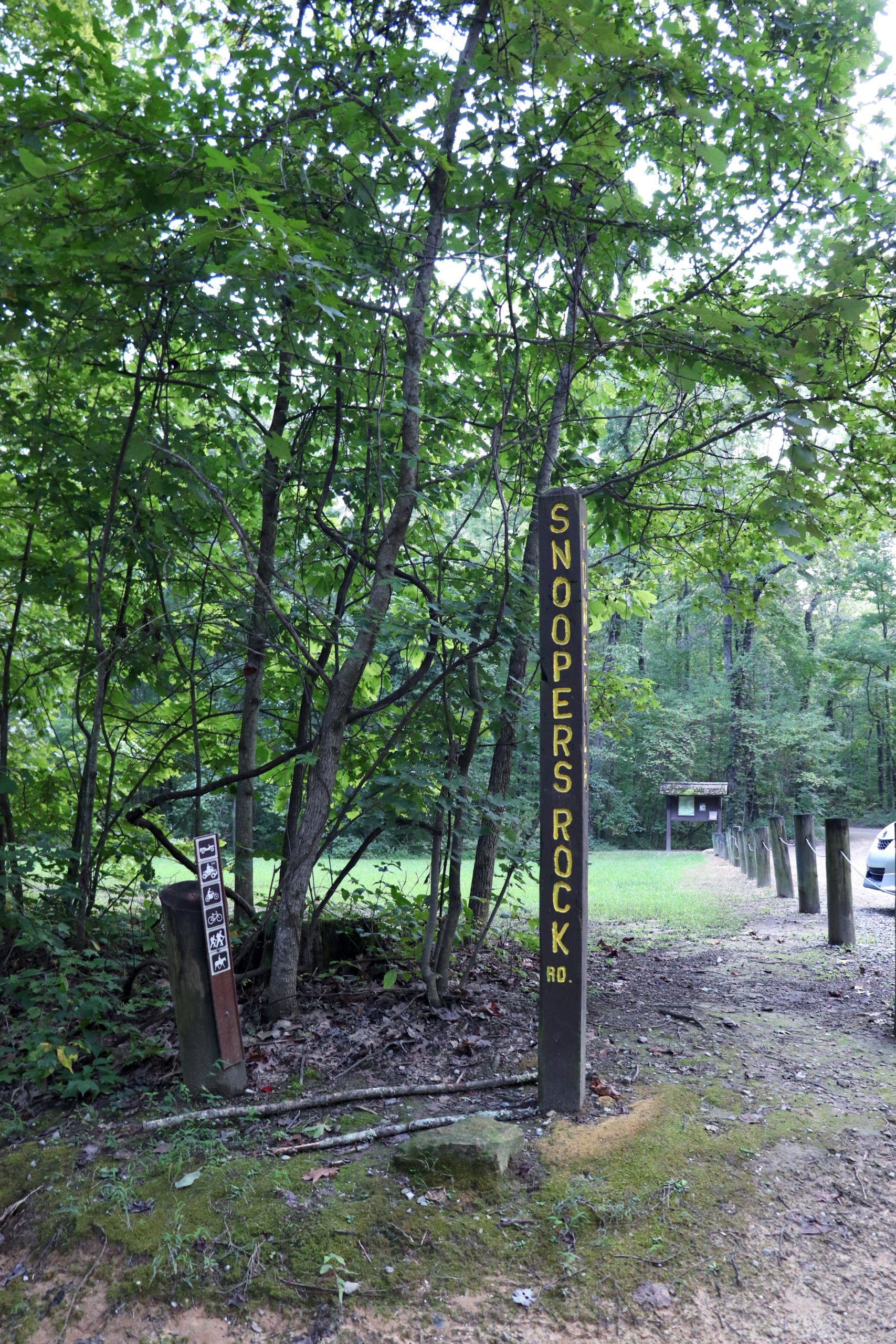
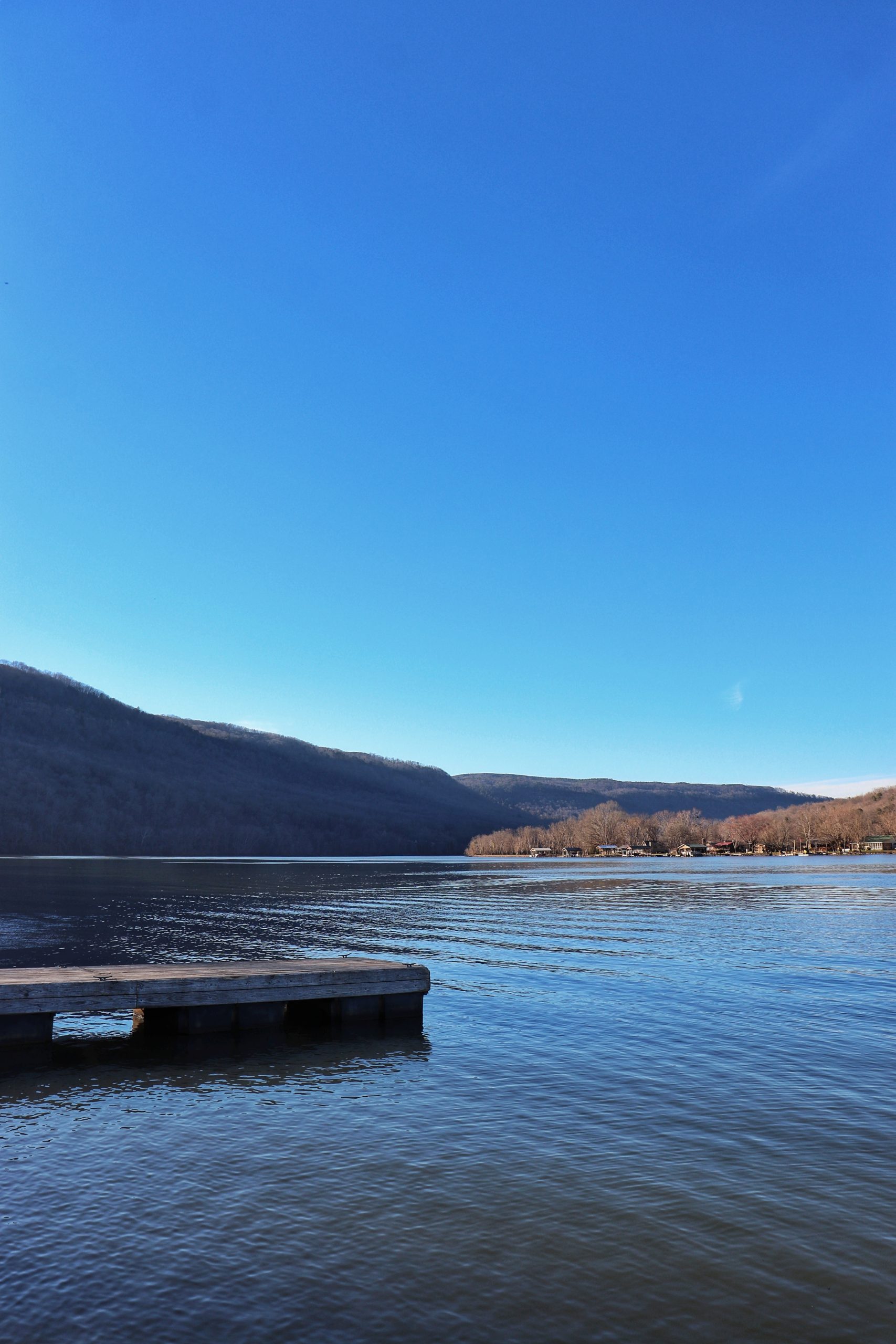
Snooper’s Rock
Snooper’s Rock is located inside Prentice Cooper State Forest Park. I suggest taking the 15 minute drive down the gravel road all the way to the parking area for Snooper’s Rock. To get to the overlook from the parking lot is less than a quarter mile hike. This is one of the easiest access views you’ll find here in Prentice Cooper. Learn more about this spot in my Snooper’s Rock Guide.
Whitwell, TN
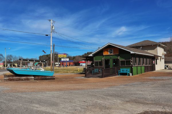
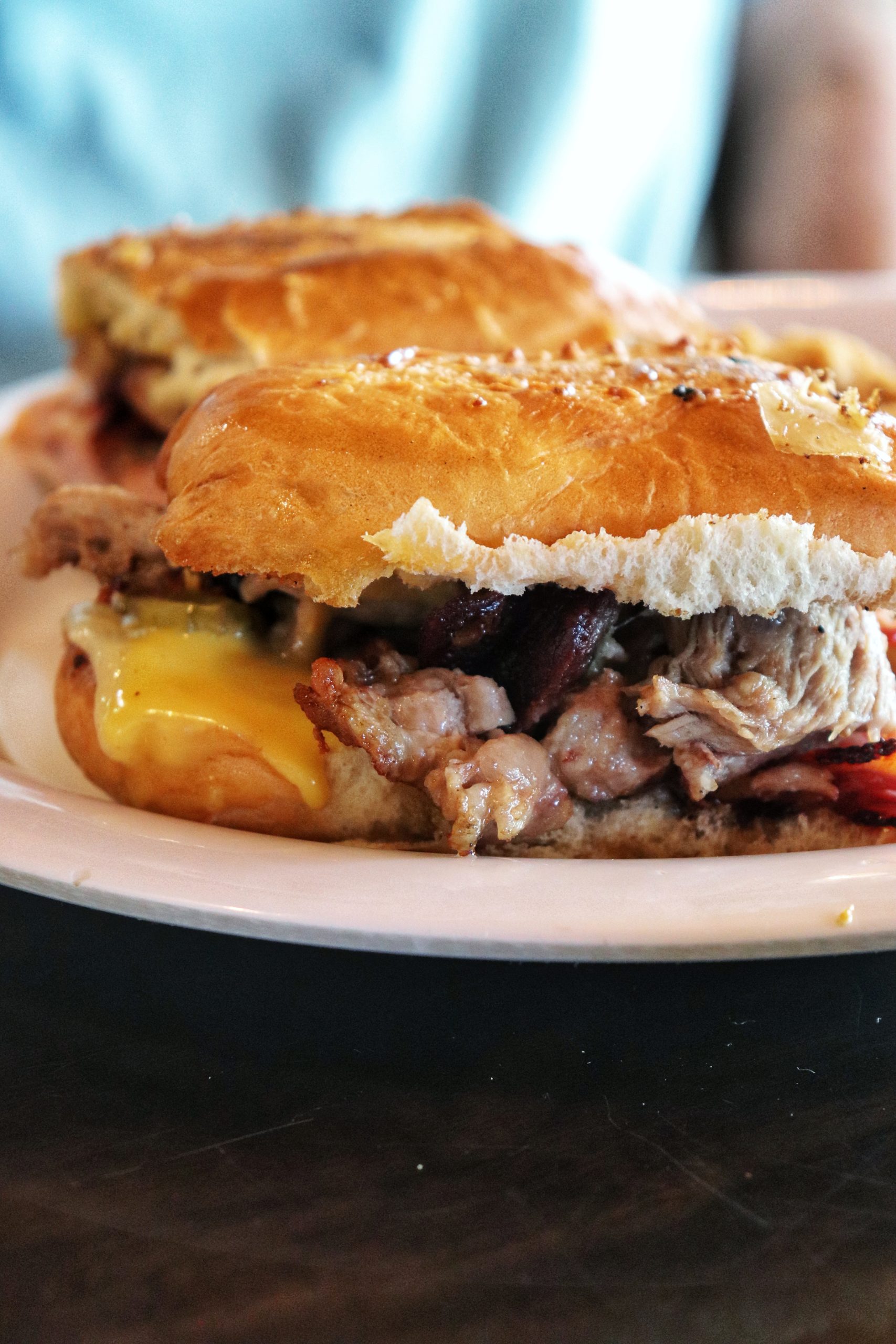
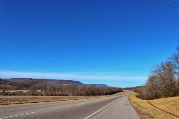
Continue down Suck Creek Road. The road will take you down the mountain and into Sequatchie Valley. Soon you’ll find yourself in the little town of Whitwell, TN. Here you can find a local place to grab lunch such as Cafe on 28 or The Landing Zone Grill. I have not tried the Cafe on 28 yet, but we ate at The Landing Zone Grill (previously called “The Hook & Grill”) and it was quite good. Note, the restaurant has had a makeover since we last went so the menu and appearance have changed a bit.

Purchase a downloadable Google Map with all the stops listed in this post and more so you’re ready to hit the road!
Jasper and Guild, TN
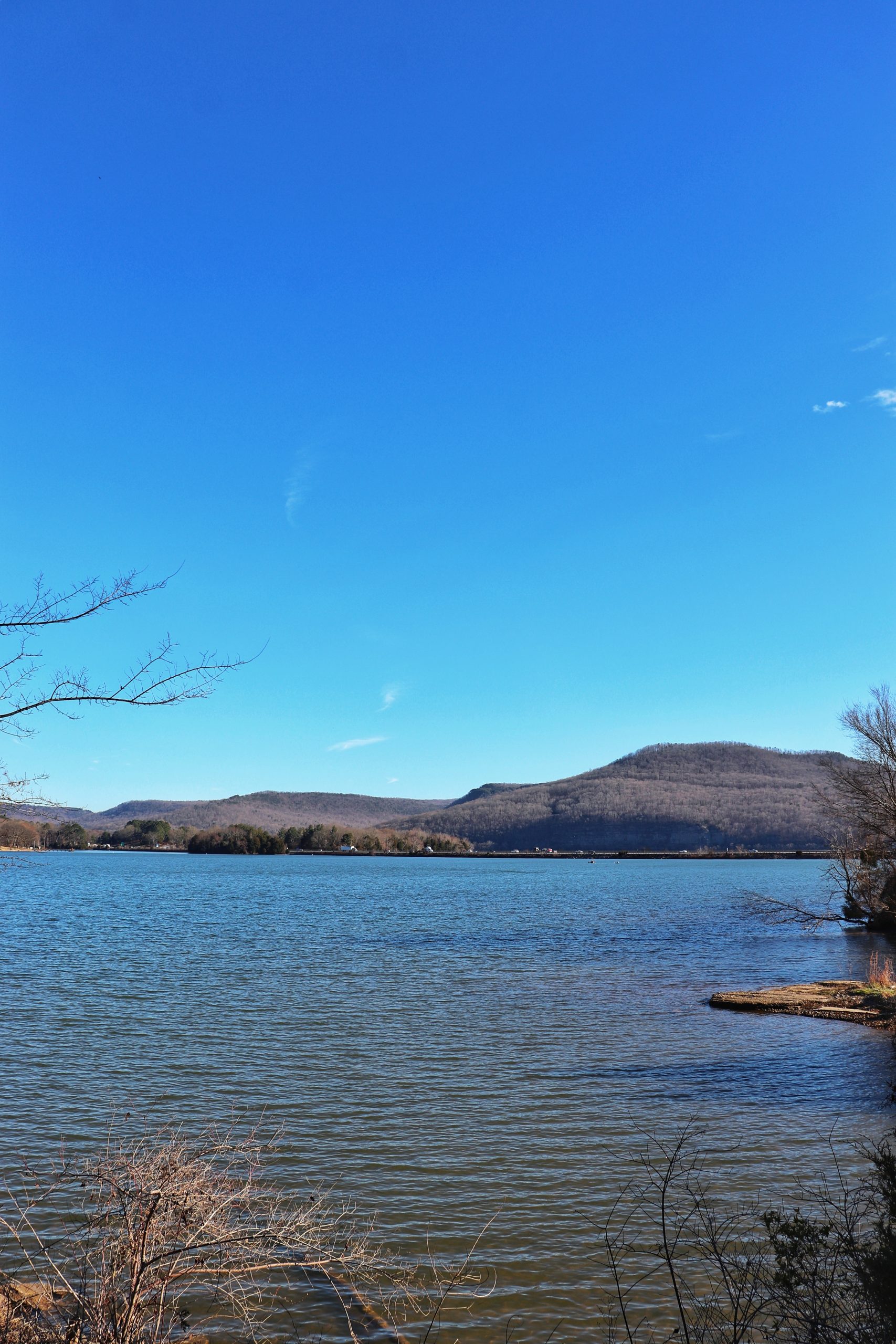
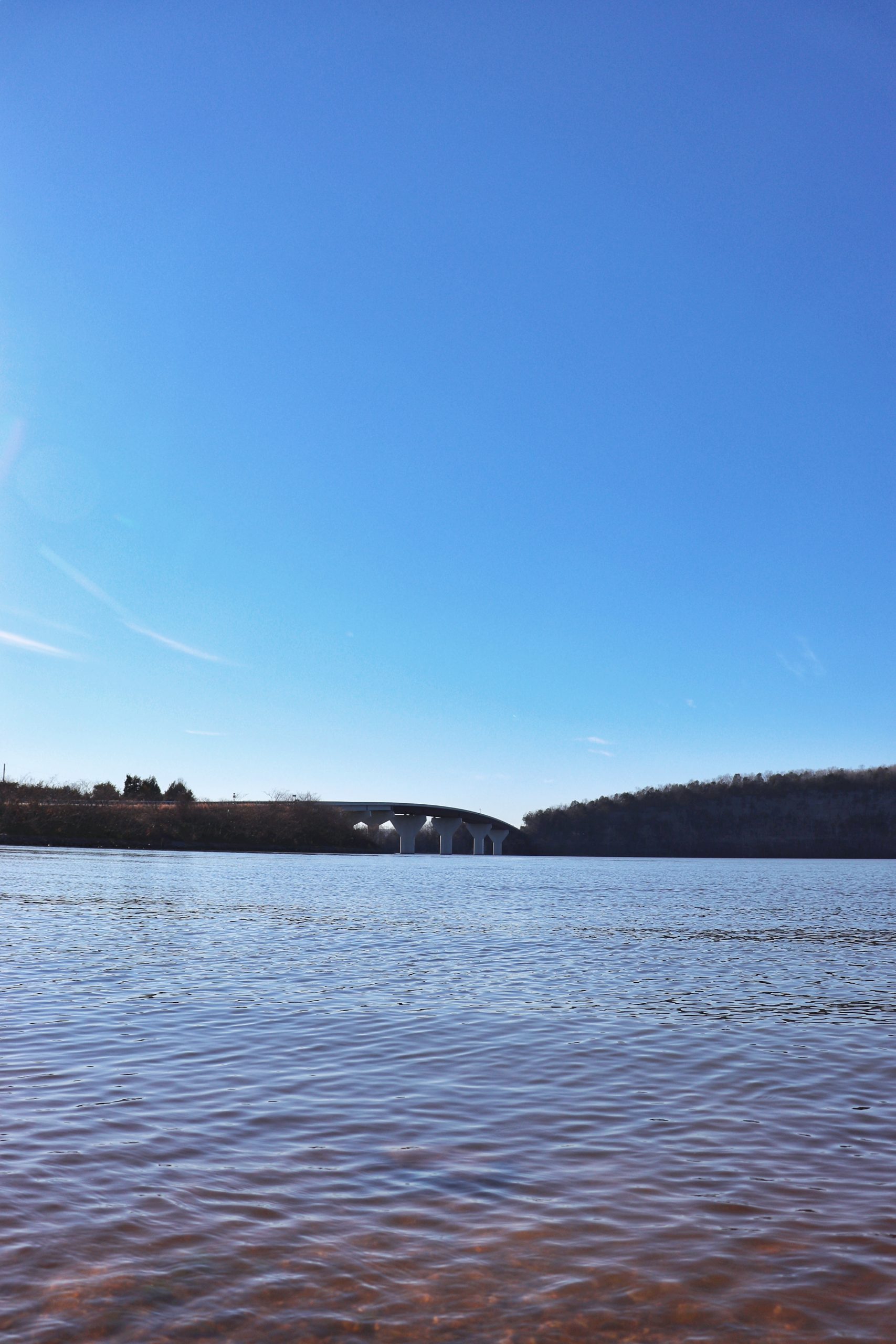
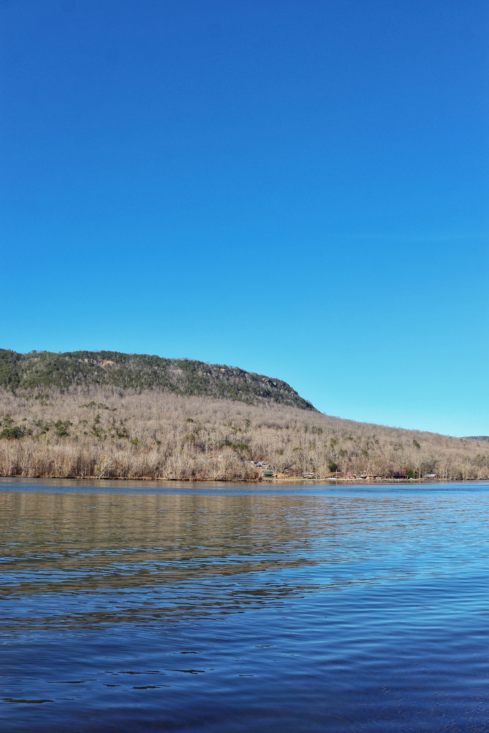
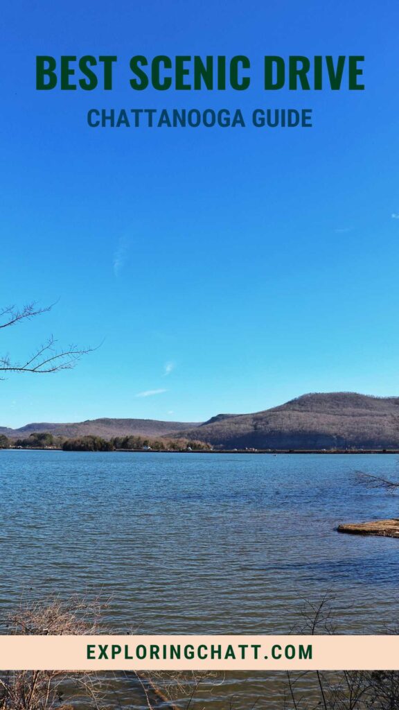
After lunch, hop back on Highway 28 and head towards Jasper, TN. Exit off of Highway 28 onto State Road 41 heading towards Nickajack Lake. Soon you’ll cross a bridge with beautiful views of Nickajack Lake surrounded by the mountains all around.
Their used to be Anchor Bait & Tackle in Guild, TN where you could pull-off by the lake for great views. But that business has since been demolished. For now it’s an empty lot you can still drive through to get to the water, but I don’t know how much longer that will be doable.
Cummings Gap/Lee Highway
Right after you cross the bridge, there’s what looks like an old gas station to the left called Anchor Inn. I recommend stopping by the lakeside here to really take in the scenery before continuing on your drive. Continue down State Road 41, keeping the water to your left. Eventually you’ll reach the Sullivan’s Landing Boat Ramp. This is another great spot to stop and take in the views. There’s even a dock so you can walk out onto the water. When you’re ready, get back on the road and soon you’ll be at the entrance for TVA’s Raccoon Mountain.
TVA’s Raccoon Mountain
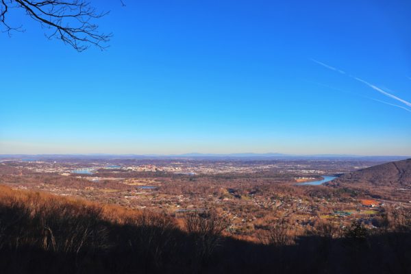
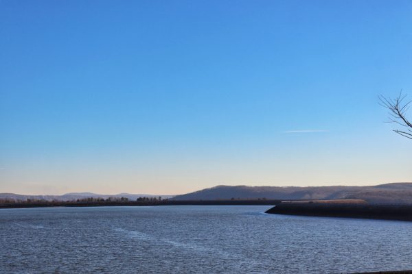
TVA’s Raccoon Mountain will be on your left. Enter the park and follow the road up to the top of the mountain. I like to make the East Overlook my first stop here. It offers one of the best views of Chattanooga. Next, start heading towards the reservoir. You can stop at the reservoir overlook on your way, or if the visitor’s center across from it is open, I suggest checking that out too. From the visitor’s center you can get a bird’s eye view of the Tennessee River nearby where you just drove. Sadly, the day I took this drive, the visitor’s center was closed. After taking all this in, continue your drive around the reservoir. The one-lane road gives an amazing experience. Water on your left and scenic mountain views on your right. If you have extra time and want to stretch your legs, pull into the Laurel Point area and walk around the short loop. For more info about this leg of the trip, check out my TVA Raccoon Mountain Guide. The reservoir road will loop you back to the main road where you can then exit the park the way you came in.
Lookout Mountain
Keep heading down State Road 41. You’ll soon be in Lookout Valley. The road continues around the base of Lookout Mountain and into downtown Chattanooga on Broad Street. If you have made a whole day of this trip and still have some extra time, consider driving up Lookout Mountain to enjoy some hiking and views. For more info about this see the options in the Lookout Mountain links in the next section.
Chattanooga Drive Map & Locations
Below is the map of all the stops.
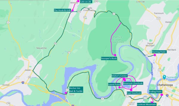
Here are the exact locations for planning your own Chattanooga Drive:
- The starting point- Suck Creek Road
- Prentice Cooper State Forest- Snooper’s Rock
- Whitwell, TN- The Landing Zone Grill or Cafe on 28
- Nickajack Lake- Pull-off
- River views- Sullivan’s Landing Boat Ramp
- TVA’s Raccoon Mountain- East Overlook, Reservoir Overlook, Visitor’s Center, and Laurel Point
- Lookout Mountain (blog posts that include locations)- Sunset Rock, Point Park, and other hiking trails
- The ending point: Broad Street, Chattanooga
Purchase a downloadable Google Map with all the stops listed in this post and more so you’re ready to hit the road!
In Closing
That sums up the details of turning the 2 hour scenic loop into an all day Chattanooga Drive. And the beauty of it is that you can adjust the length depending on how much time you have. Got all day? Stop at each place. Only have a few hours? Pick just a couple of stops before you go. The full loop just driving without any stops is about 2 hours long.
Watch the video version of this Chattanooga scenic drive on YouTube. Until next time, get out, have fun, and enjoy Exploring Chatt!

More to Explore in Chattanooga:
- Walking Tour of Downtown Chattanooga
- See Chattanooga from the Sky in a Helicopter
- Try a Hike in Chattanooga with these Beginner Hikes
Inspired? Pin this post for later:
Hi, a friend and I will be in Chattanooga on motorcycles in a few weeks, and we want to ride the Chattanooga Scenic Drive Loop you mention. I paid the $3 for the itinerary with all the stops you laid out, but is there a downloadable route for the loop to guide us along the way? Please and thank you for any info you’re able to provide.
I’ve heard that this route is awesome on motorcycle! Let me see what I can do. I’ll send you an email. Thanks!
My main residence was in Tennessee for several years and I have explored every road you mentioned. I had homes in Hendersonville and Gallatin Tennessee – many of the country music Stars were my neighbors. I was honored to meet most of them as neighbors and friends. I have traveled on Motorcycle in all 48 States and parts of Canada. I currently live on a huge chain of lakes in Florida (I’m a Pisces, what do you expect from me?) We’re leaving in the morning to ride the Blue Ridge Mountain and the Natchez Trace to visit some people I’m honored to call FRIENDS.
That’s awesome! I’m sure you have many great stories to share from your travels and time lived in TN. That’s exciting! The Blue Ridge Mountains and the Natchez Trace are both such scenic drives too.
Hey Amanda, it’s Preacher. This is such a great newsletter. You and I are on the same page about the best hikes in the Chattanooga area. Also, this drive looks awesome. I have been to most of these places but not on an all-in-one day trip. That looks awesome. Thanks for the suggestions.
Thanks Preacher! Glad to see you’re enjoying this side of Exploring Chatt too. Thanks for your support!