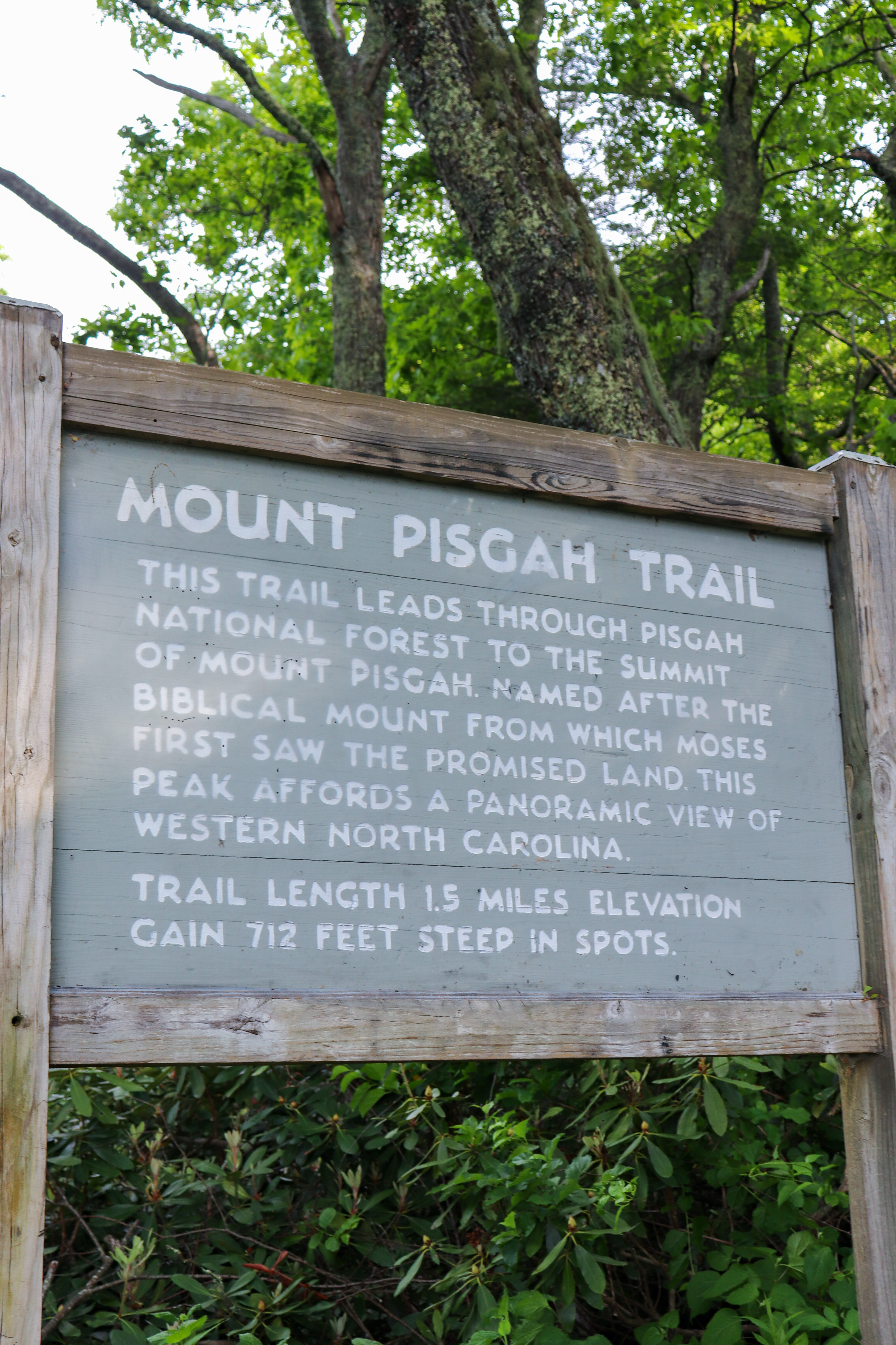
Seeing the summit from the Mount Pisgah Trail requires an uphill hike that is perfect for a summer camping trip along the Blue Ridge Parkway.
Hiking to the summit of Mount Pisgah is a strenuous uphill climb. But when you’re camping at the Mount Pisgah Campground, there’s a wonderful way to turn this 3 mile round trip hike into 6 without even getting in your vehicle. Keep reading to learn more about the route we took and why I recommend this alternative rather than driving to the Mount Pisgah Trailhead.
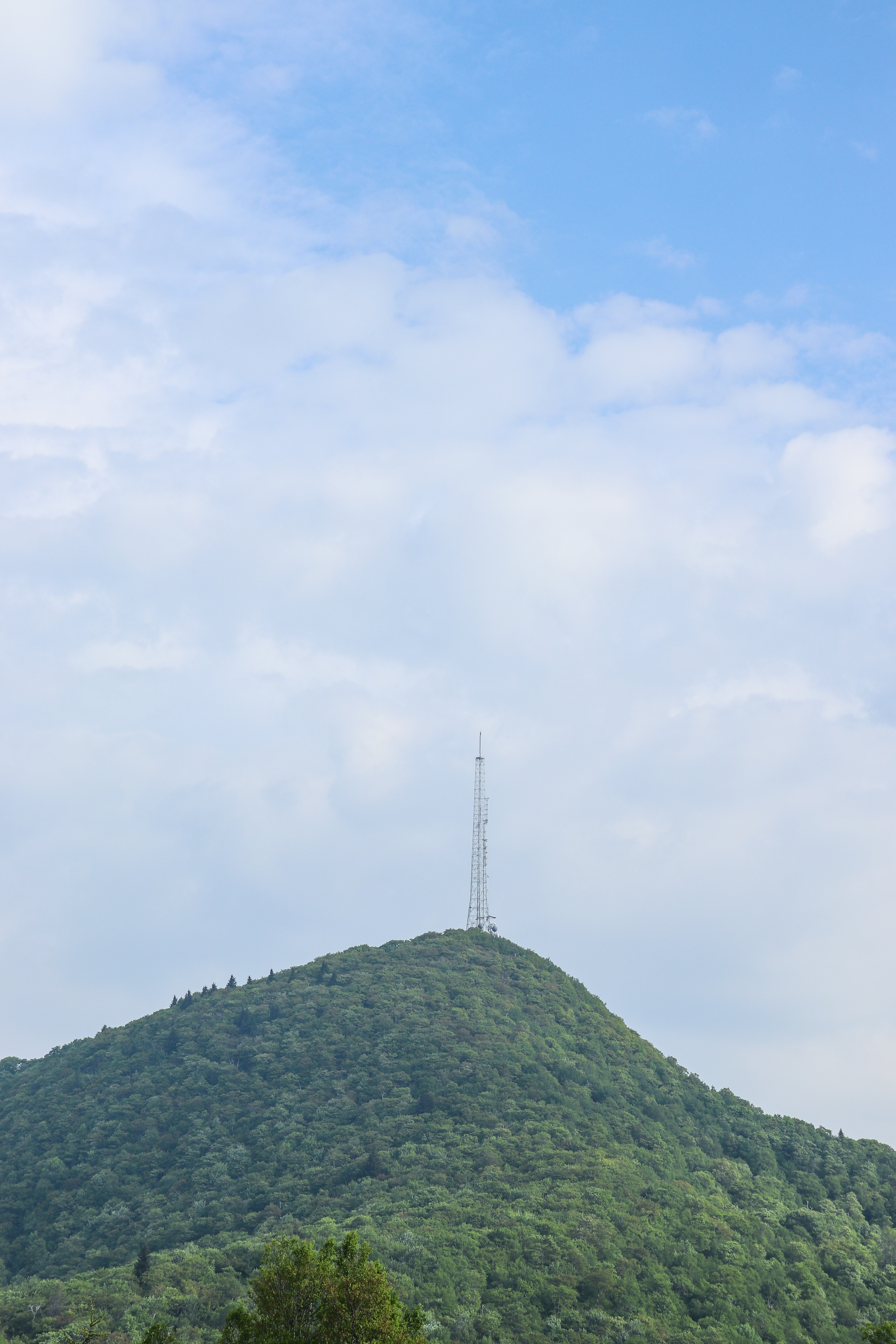
Mount Pisgah Summit
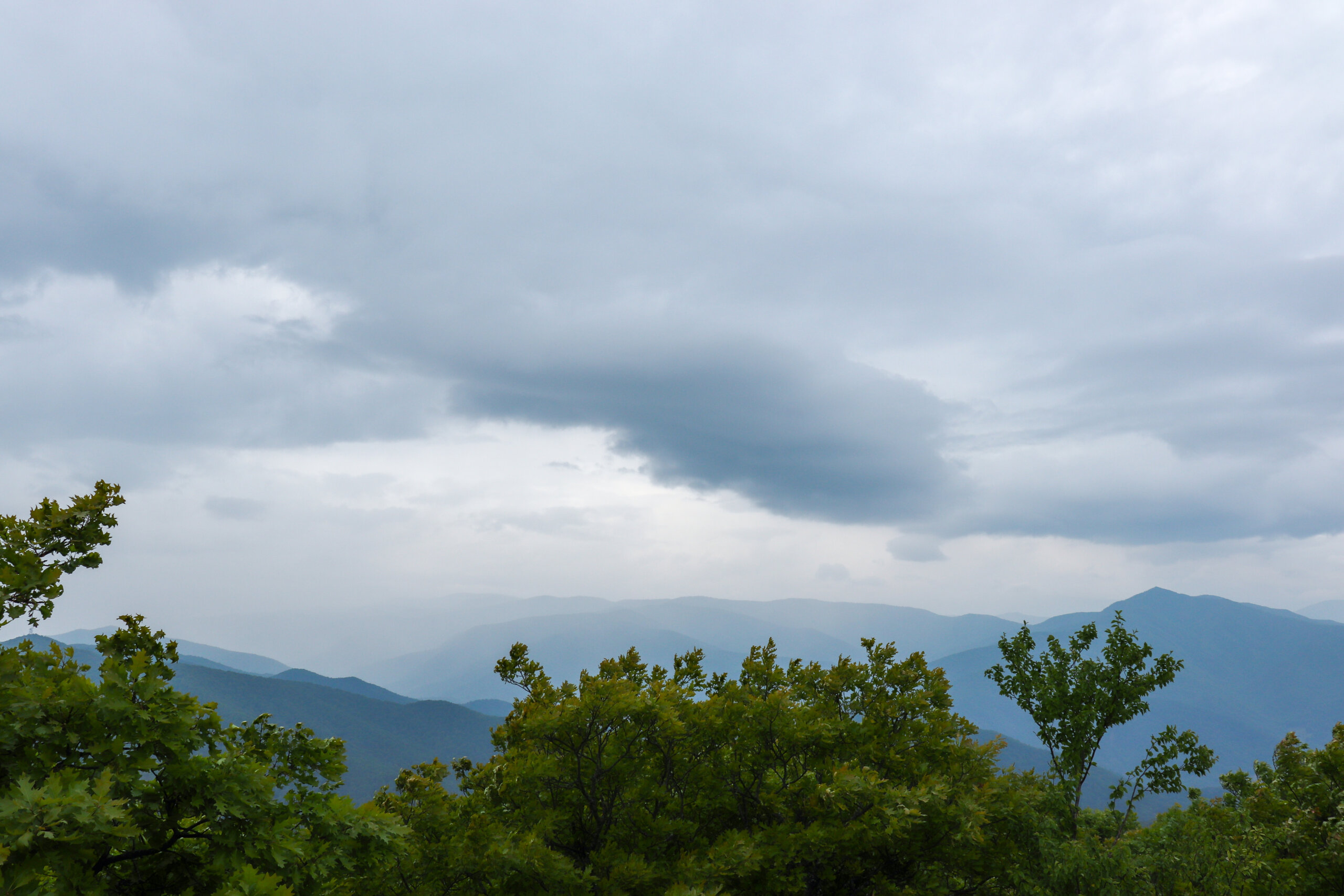
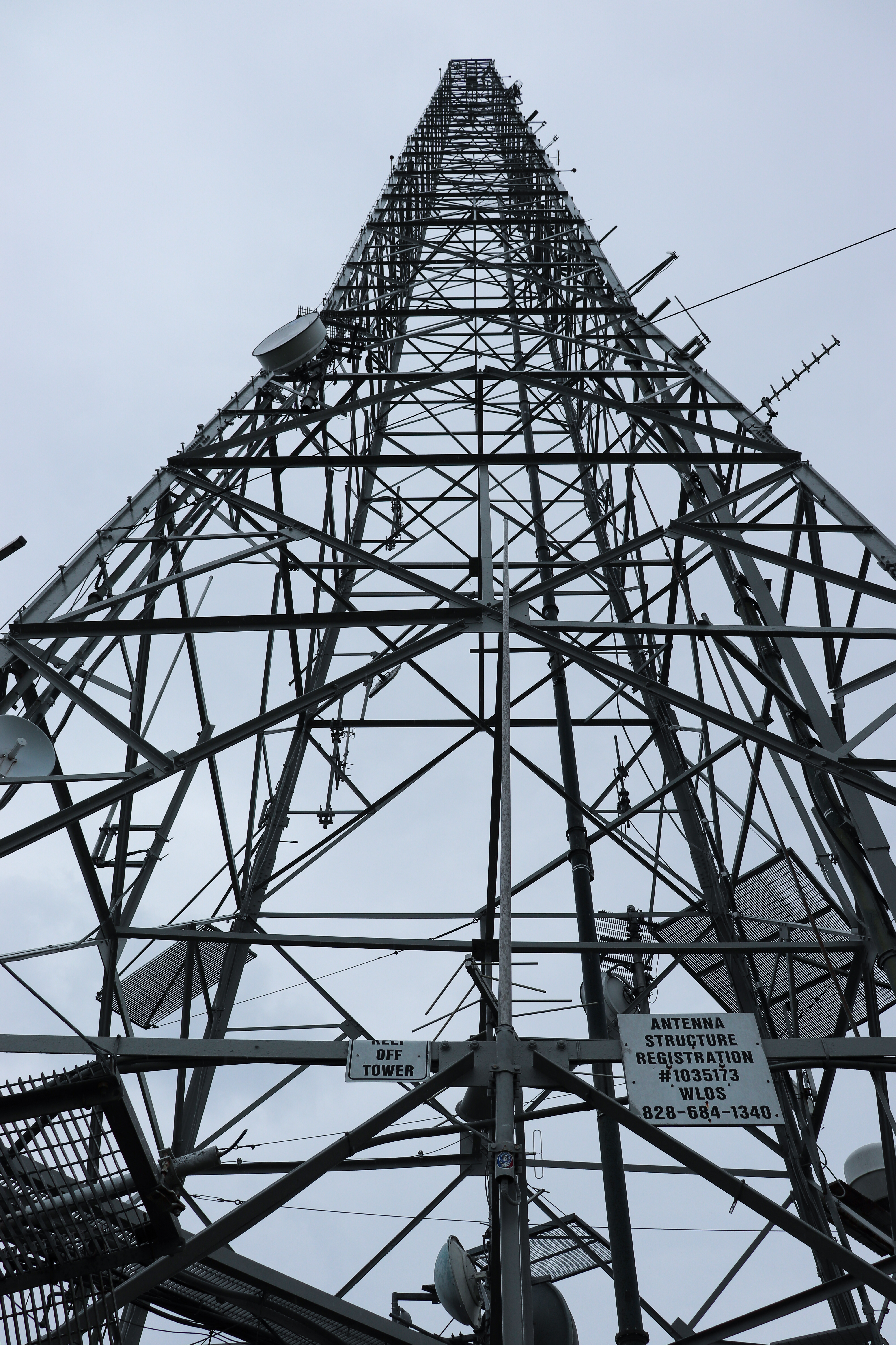
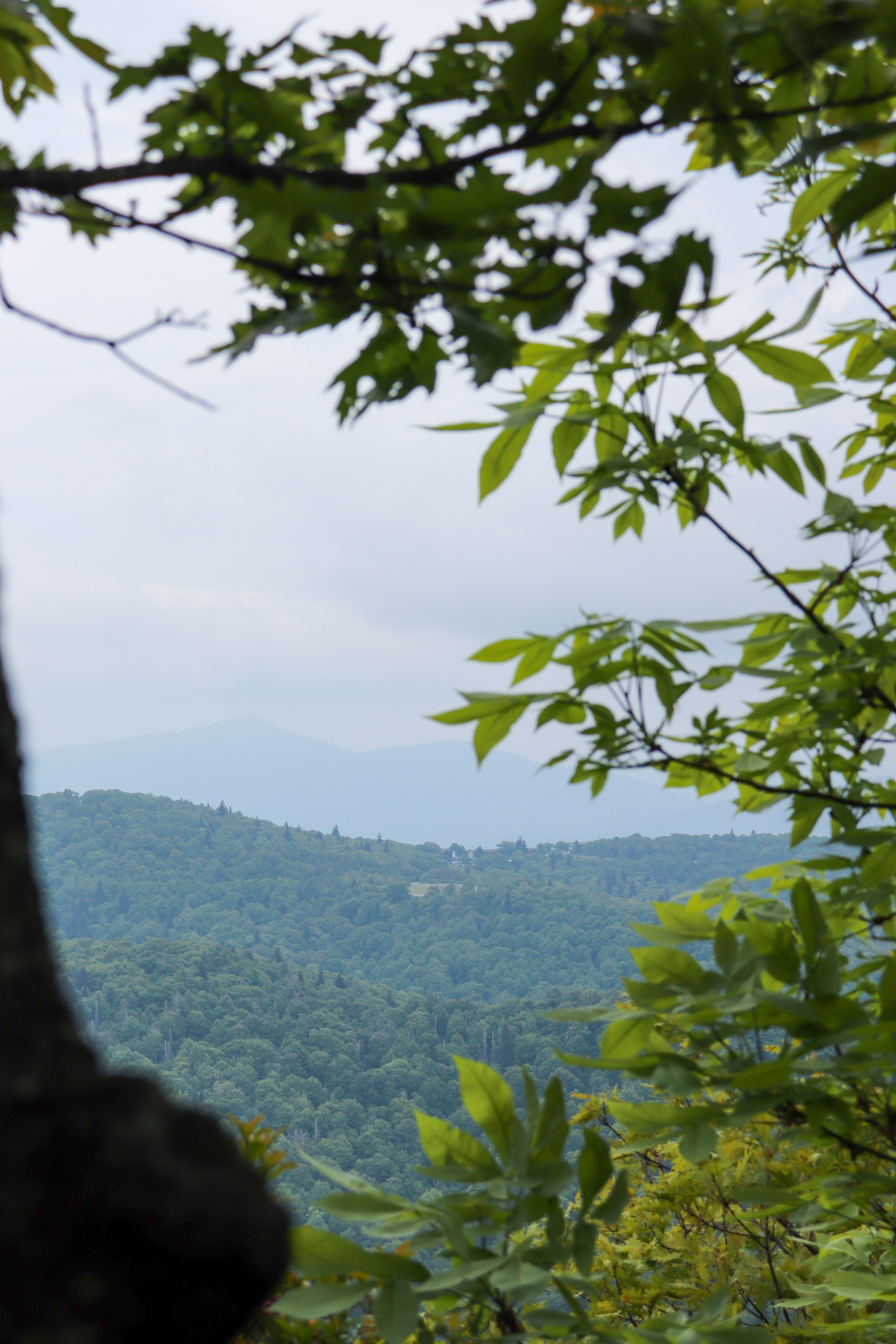
Mount Pisgah’s summit stands at 5,721 feet above sea level. One of the key characteristics of this peak is that you can spot it from miles away while driving on the Blue Ridge Parkway. Mount Pisgah is distinguished by the tall, television broadcast tower that is firmly planted on its summit.
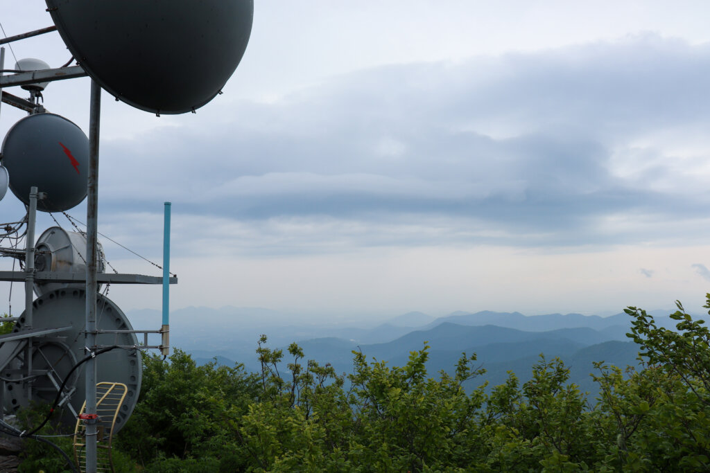
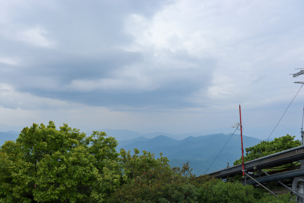
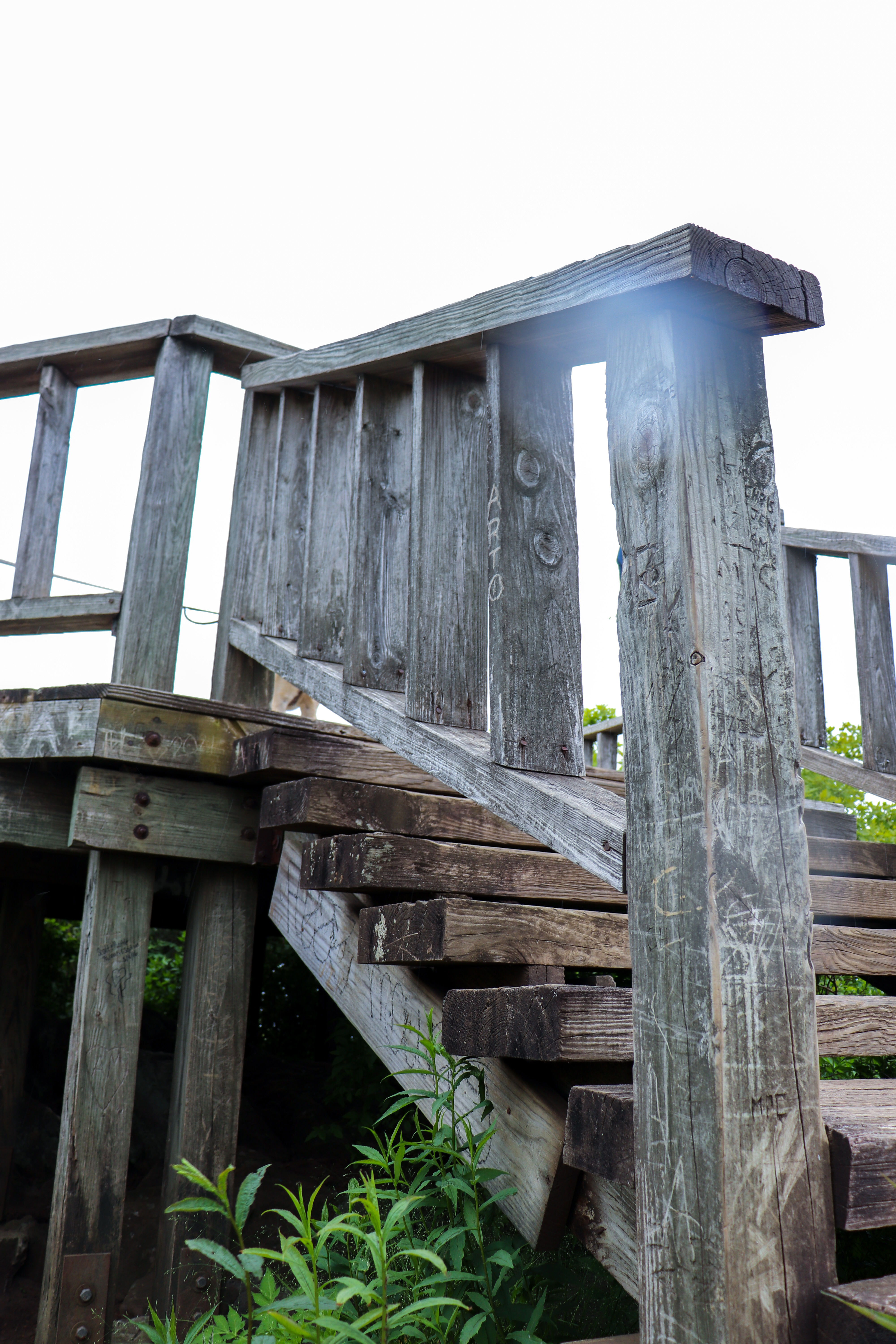
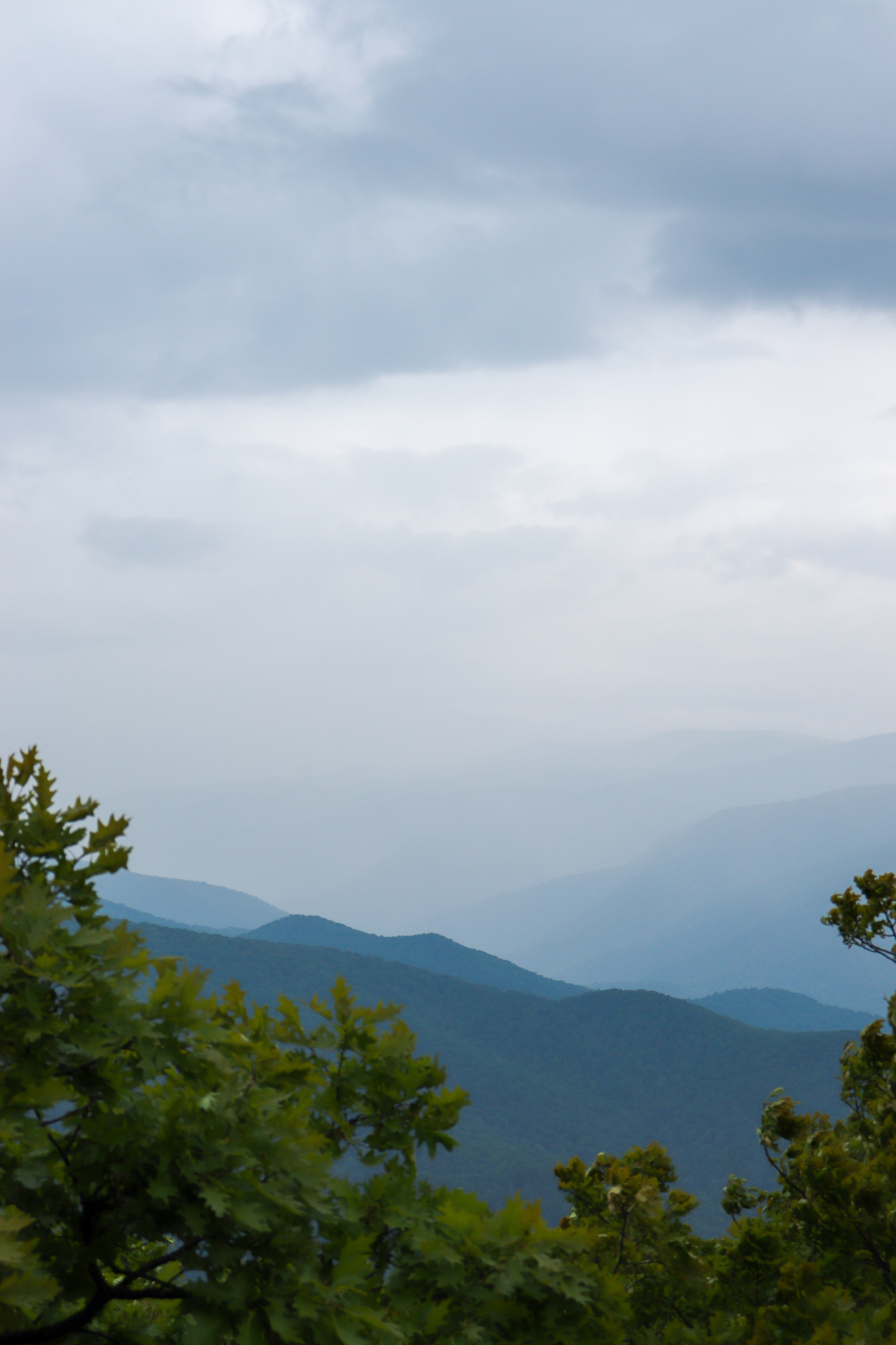
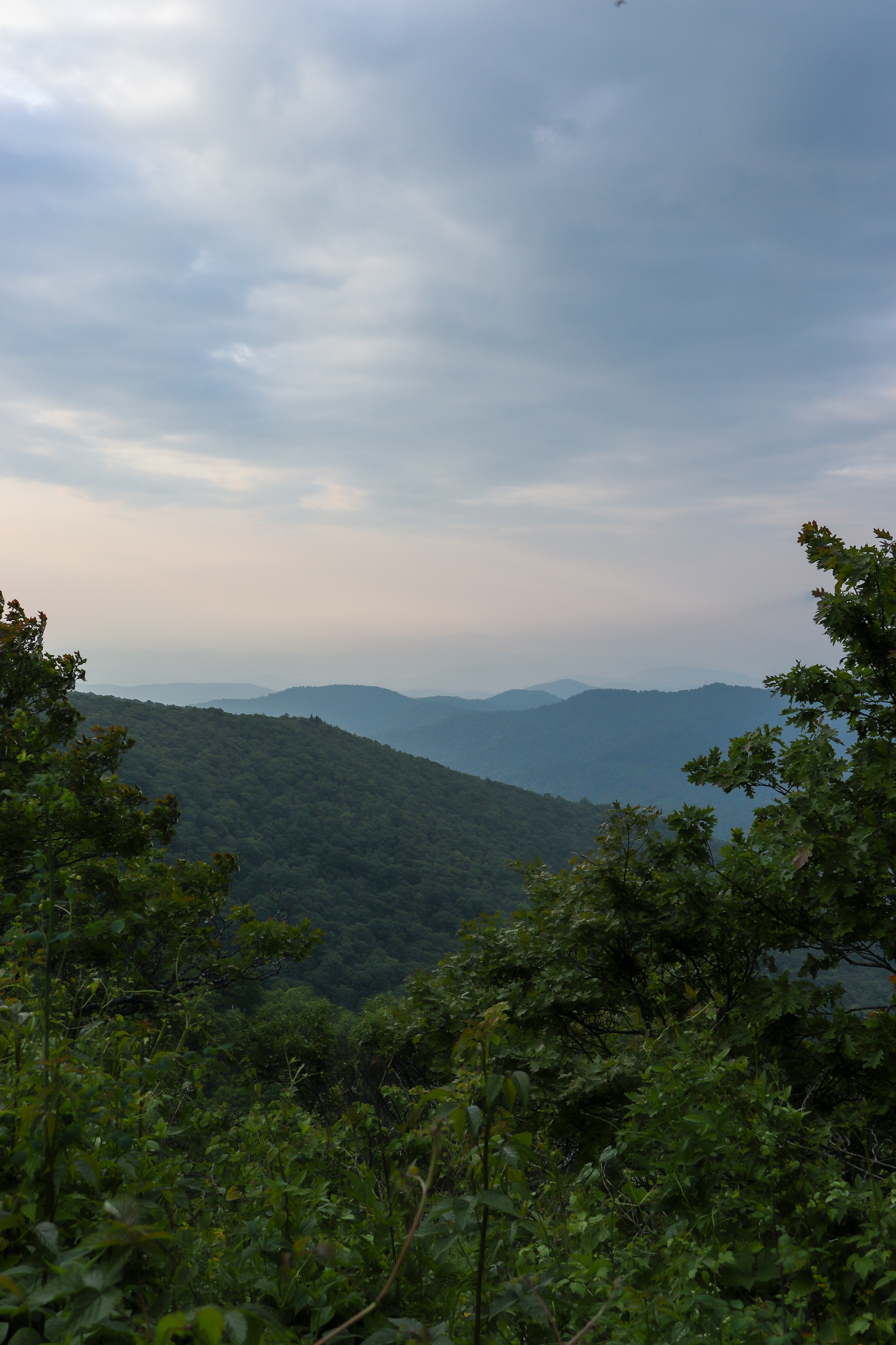
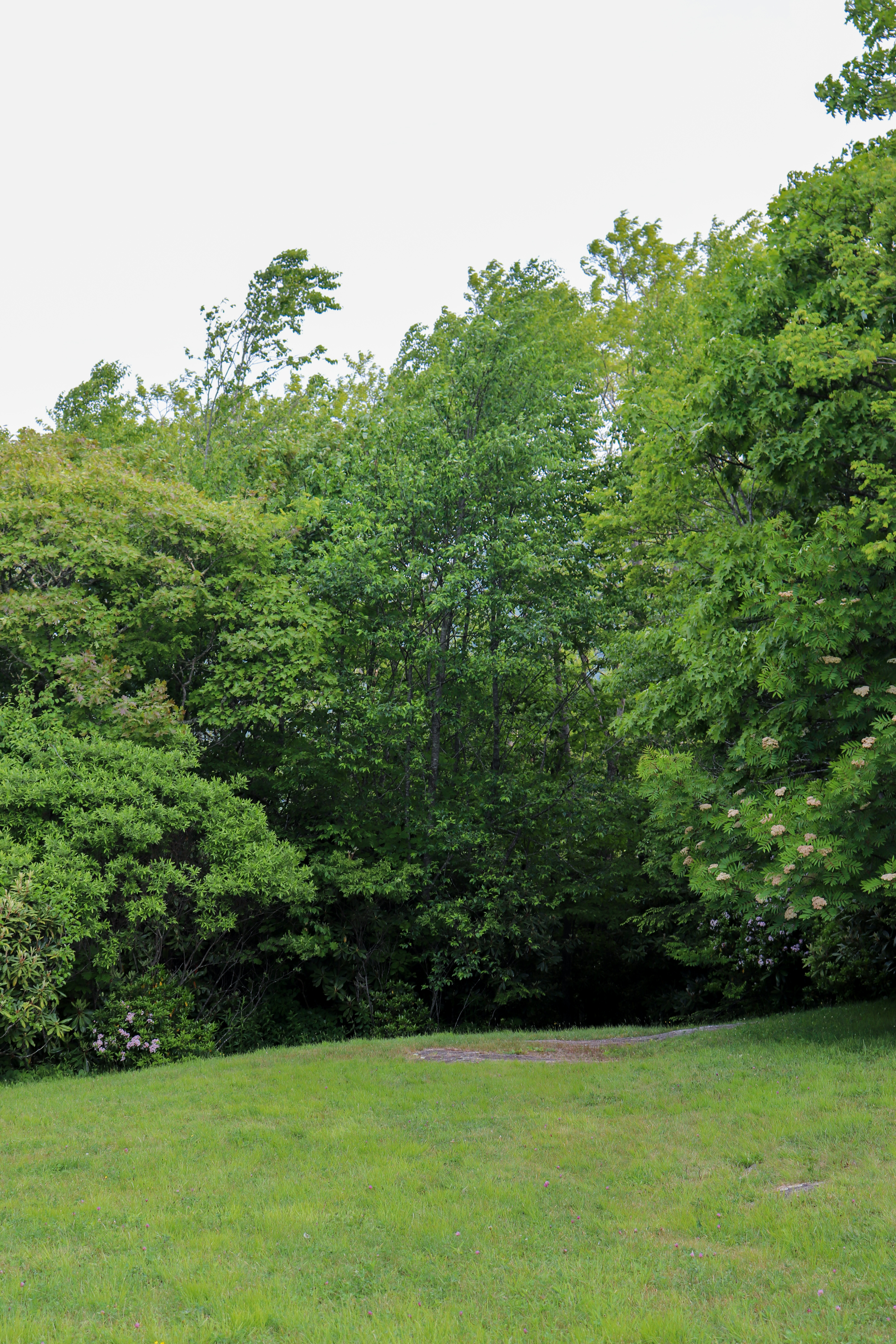
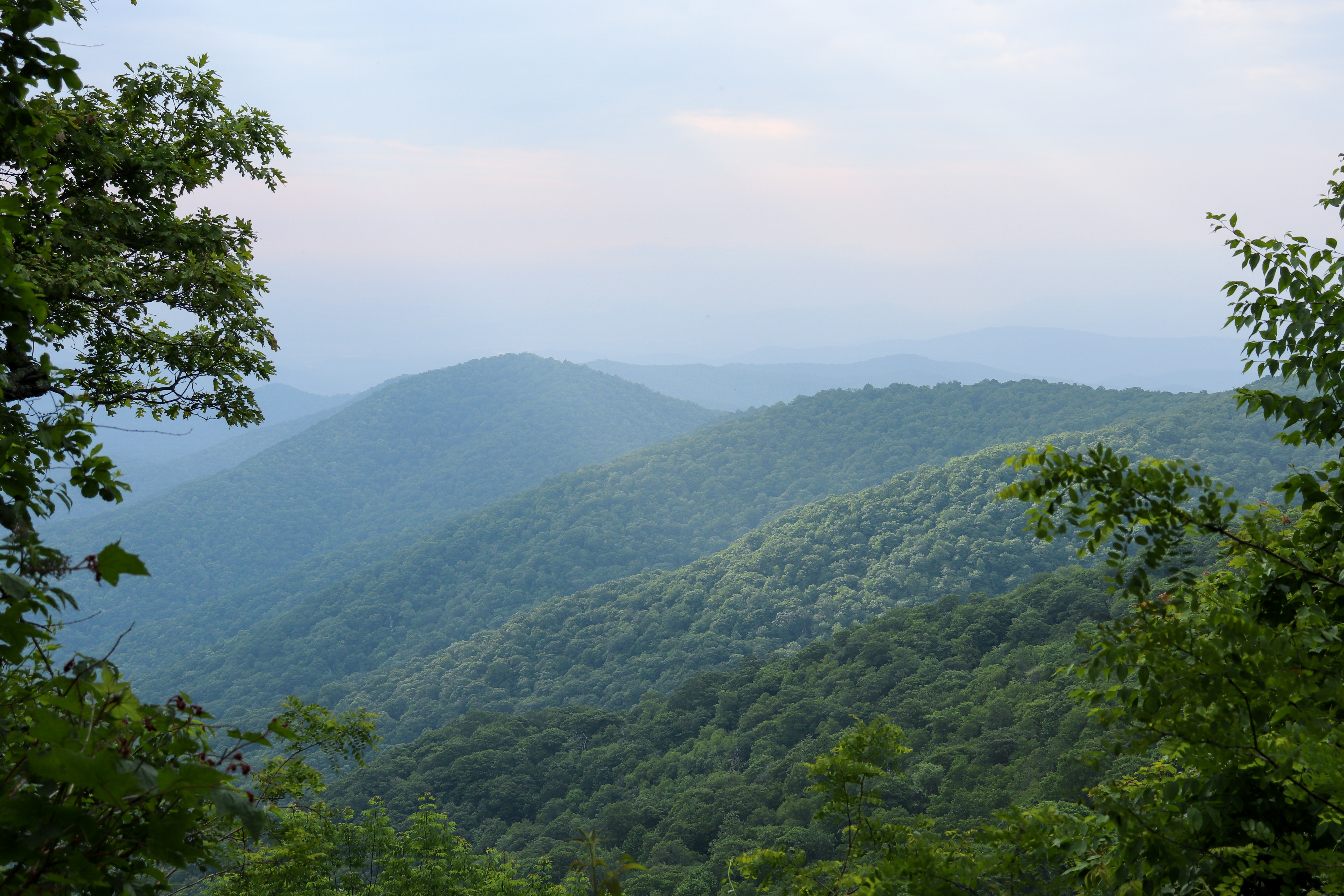
Once you reach the summit you’ll be greeted by this TV tower as well as an observation deck. Due to the surrounding nature, views are slightly blocked by the trees, as you can see in the photos below. But I still think the hike is worth it. One of my favorite things about this hike is being able to see your end goal from the beginning of the hike and even miles away on the Blue Ridge Parkway. Being able to point out the Mount Pisgah summit and say “I’m going there on foot” makes the hike feel more accomplished. Especially considering the entire hike is 1.5 miles uphill with a 712 foot elevation gain.

Hiking to the Summit from the Mount Pisgah Campground
Due to the convenience of the campground, we chose to hike to the Mount Pisgah summit right from our campsite. There are two ways to do this which I believe makes the hike more enjoyable. Because of how the trails go in this direction, we were able to make a loop out of it. We started by the Pisgah Inn where there’s a trailhead that takes you to Buck Springs Gap Overlook. And on the way back from the Mount Pisgah Trail, we took the main campground trail instead, which is more direct.
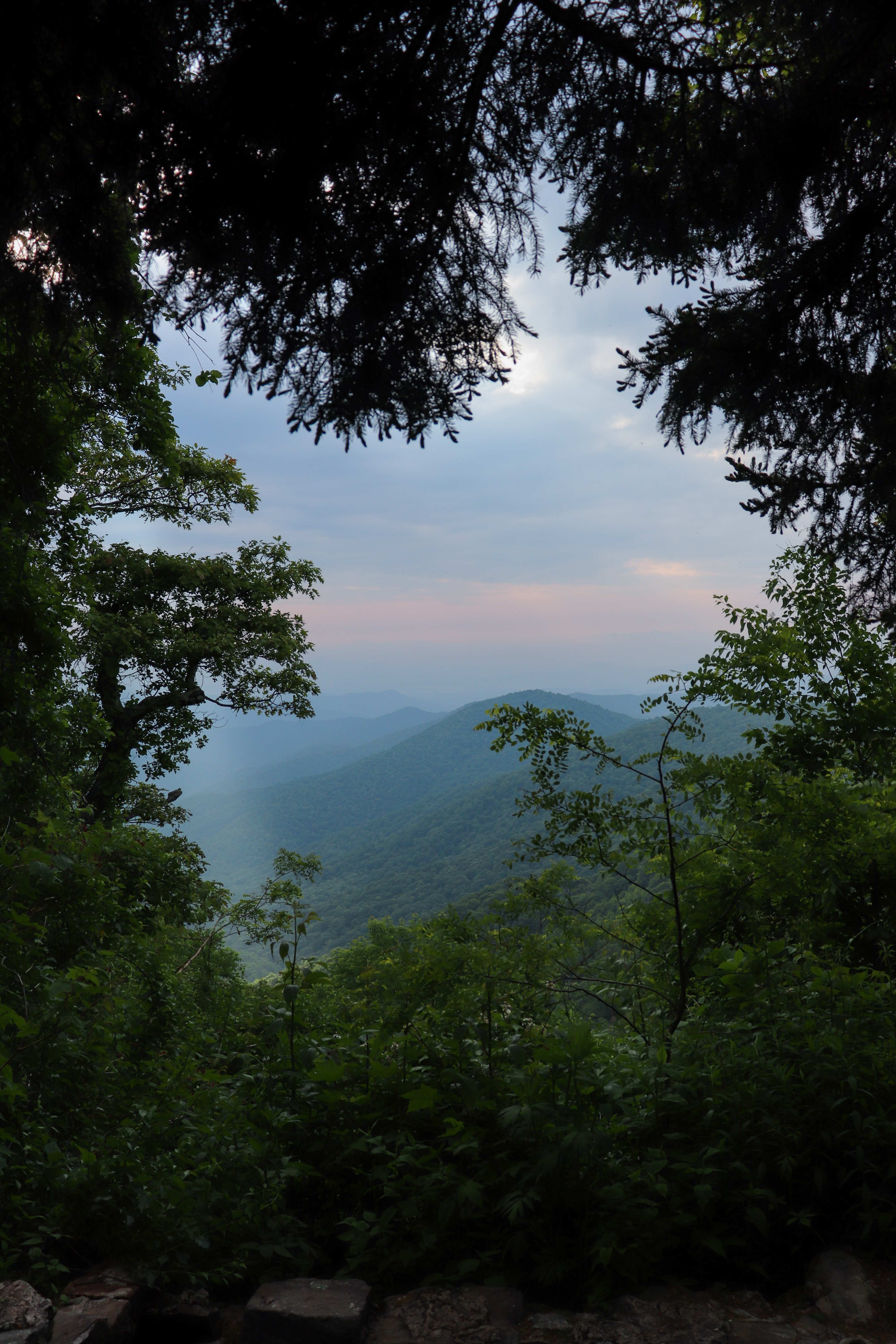
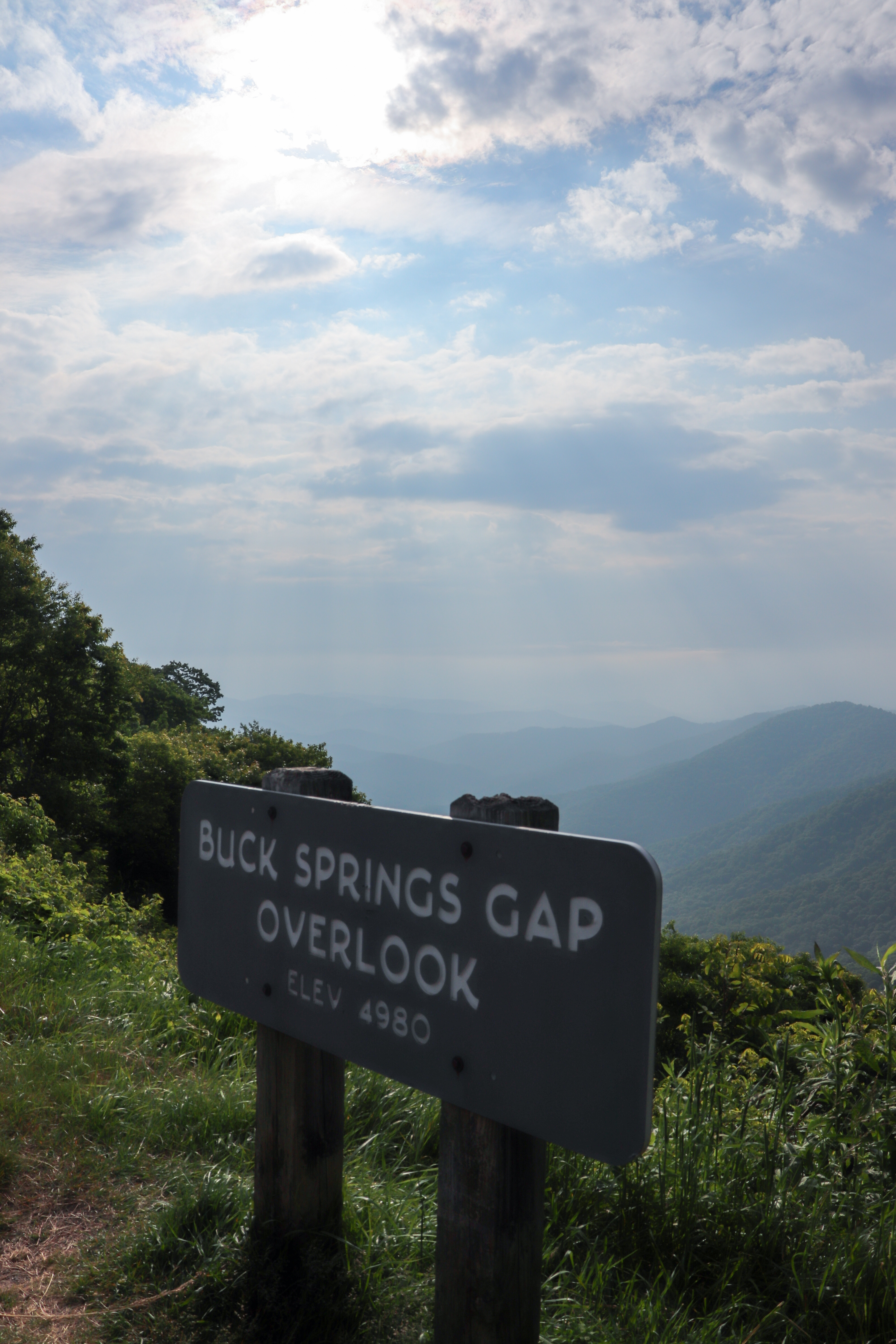
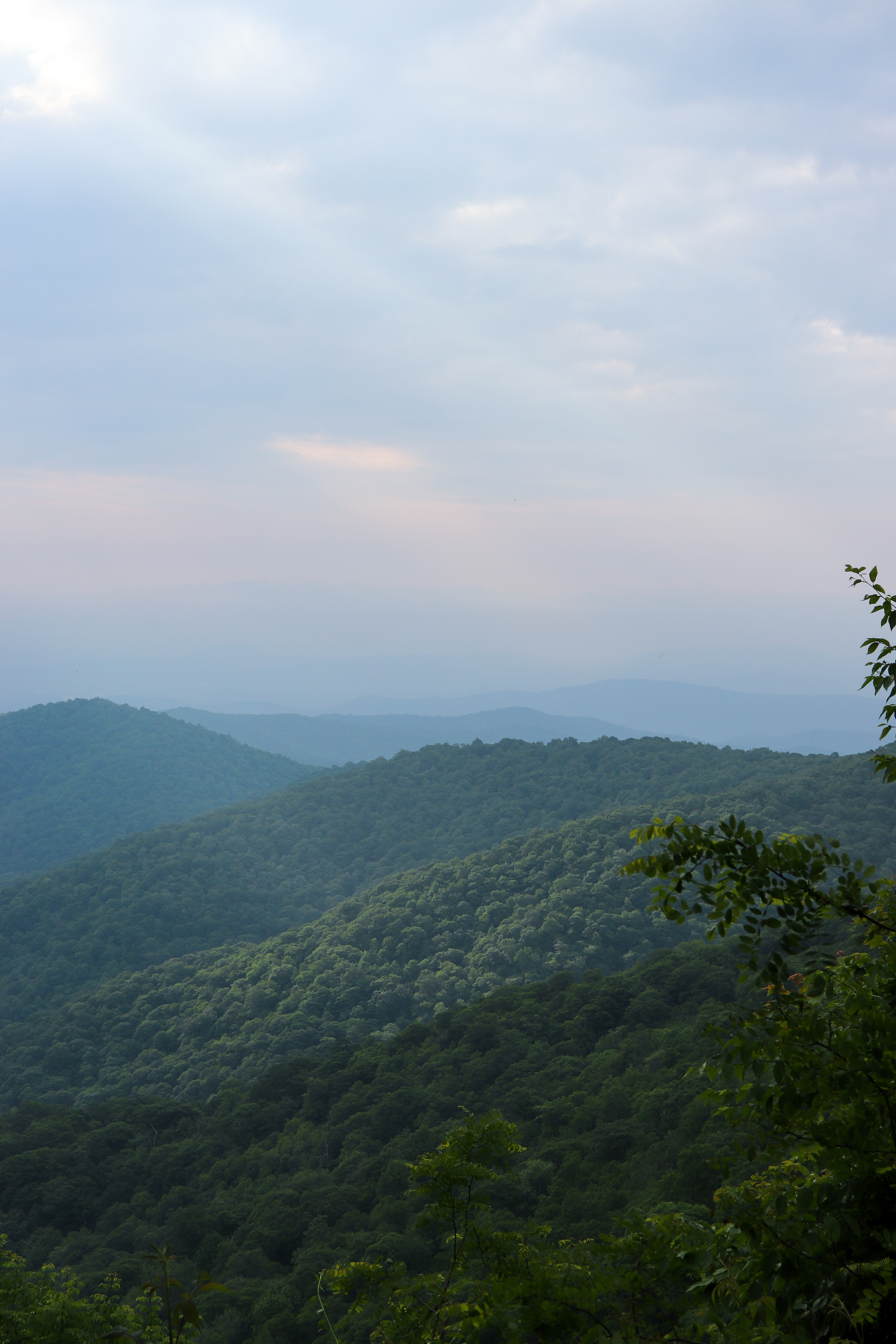
Buck Springs Lodge and Overlooks
The hike from the Pisgah Inn to Buck Springs Gap Overlook is 1 mile long. The trail is also part of the Mountains to Sea Trail. Despite the ups and downs, this hike is not too difficult. It’s also not as popular as the Mount Pisgah Trail which means you might have the trail all to yourself. Of course, we started soon after sunrise so we did have it all to ourselves.
Along the way, there’s two additional trails that jut off of this one. We did not explore either. Once goes to Little Bald Summit (which I’ve heard isn’t a bald and therefore lacks a view). And the other goes to Laurel Mountain which goes even further to Yellow Gap Road (a 7+ mile hike). If you’re looking for long distance hiking to do in the Mount Pisgah area, keep in mind that there’s lots of trails here that offer this too.
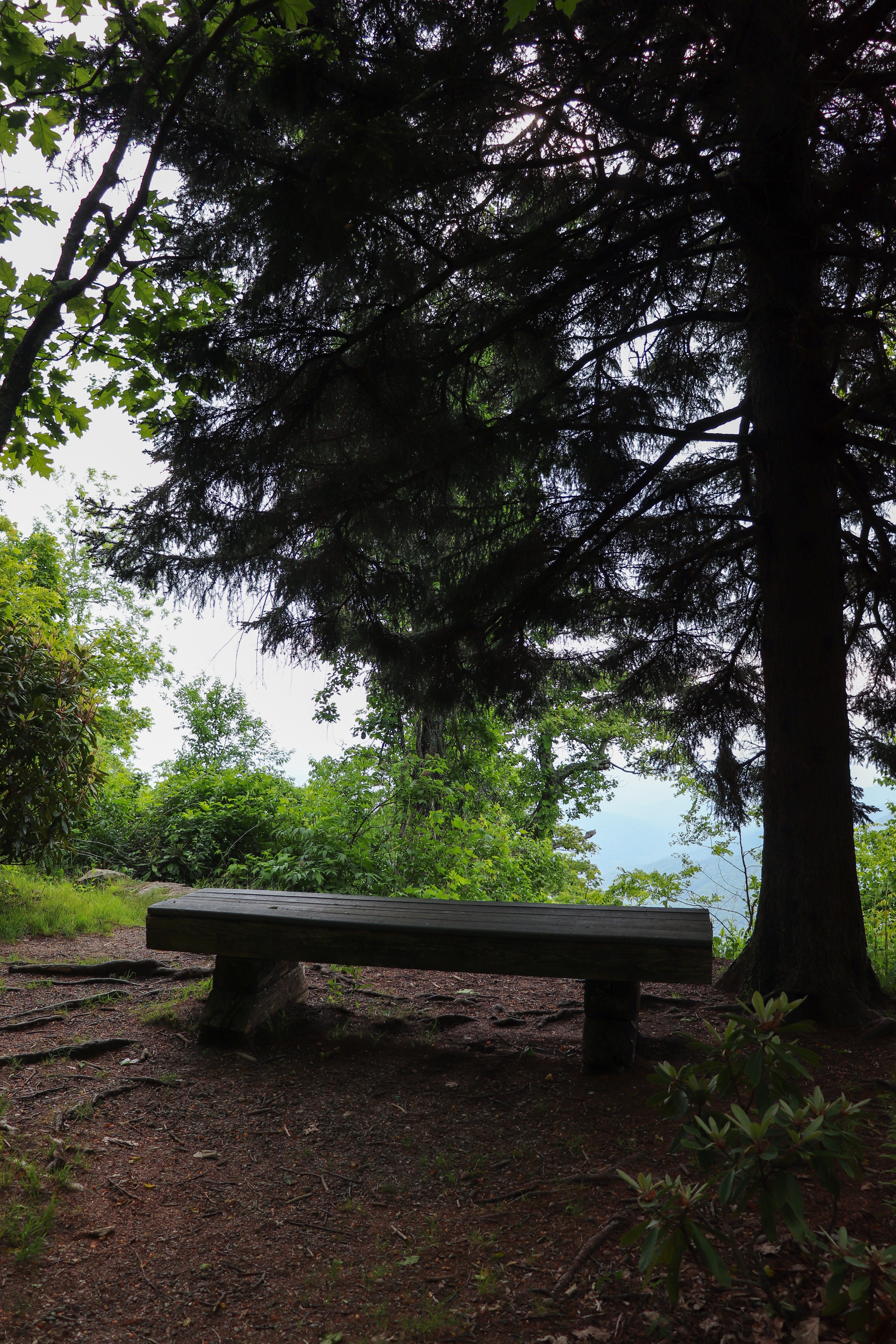
The best part of this hike are the two main overlooks at the end. One of the overlooks is right at the parking lot, while the other requires a short hike even if you drive here. But if you’re already hiking this trail, you’ll go right by it. This first is what’s left from the Vanderbilt’s Buck Spring Lodge. Here you’ll find a small, grassy field and an overlook lined with benches. Read my last blog post where I briefly discuss the history and importance of the Vanderbilt family when it comes to enjoying this area.
Accessing the Mount Pisgah Trail
If you decide to loop like we did, continue either on the Mountains to Sea Trail at the other end of the Buck Springs Gap Overlook parking lot. Or, if you wanna save your elevation energy like we did, simply walk through the parking area and follow the road leading towards the summit (you can spot it from here by looking for the TV tower). Eventually you’ll reach the second parking lot that is for the Mount Pisgah Trail and can begin your ascent.
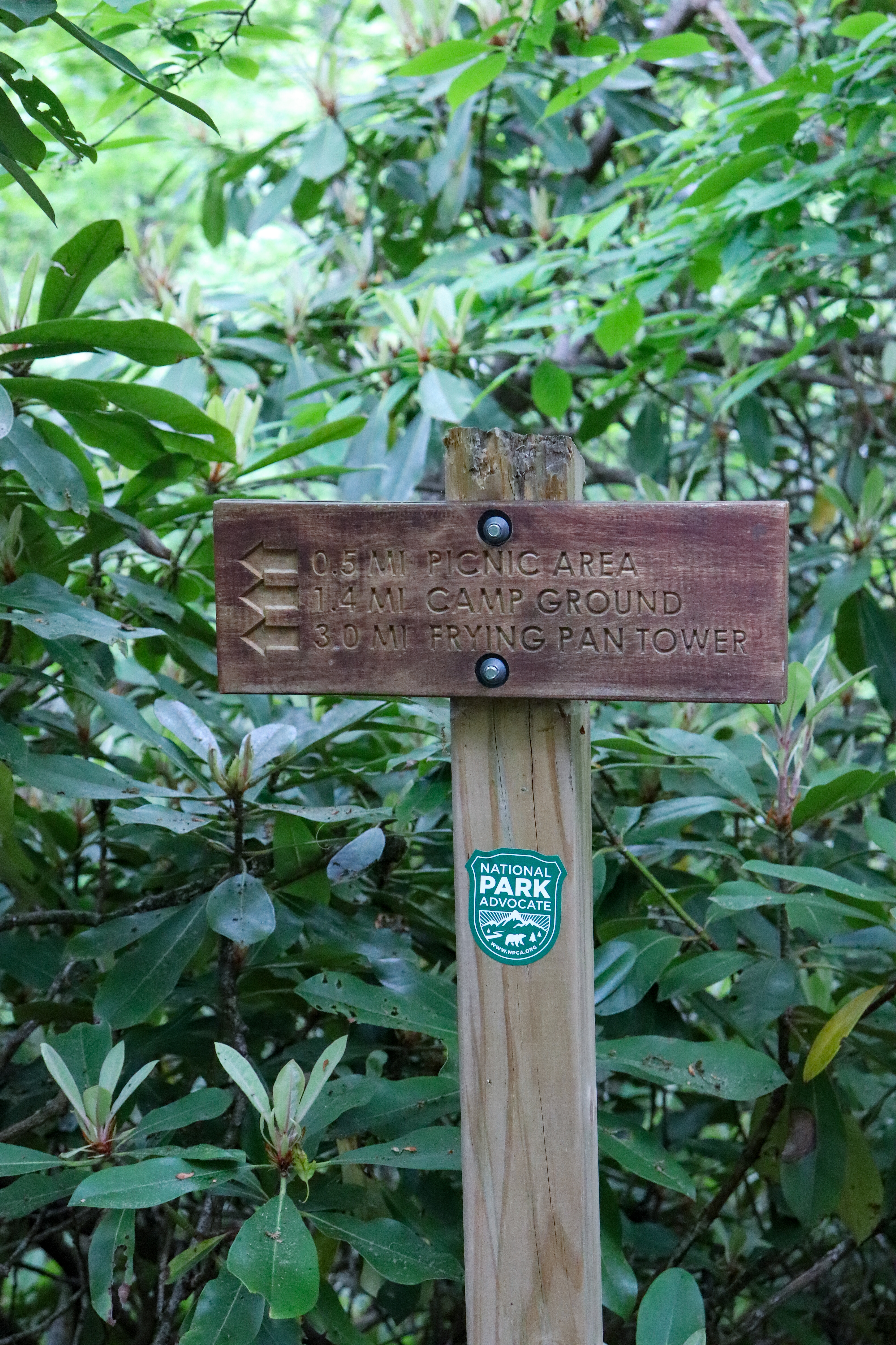
If you choose to take the more direct route from the Mount Pisgah Campground, you’ll find that the trail ends right in the beginning of the Mount Pisgah Trail. From here, simply turn left and you’ll begin your ascent. Instead of taking this trail to the Mount Pisgah summit, we chose to take this trail only on the way back to the campground. It’s pretty steep, closer to the summit trail so going back this way is easier than approaching from this way. Note that the trail ends at the Mount Pisgah Picnic Area parking lot but picks up again on the other end. Just be on the lookout for trails and hiking signs. And, right before the campground (heading back) there’s a trail intersection. Be sure to follow the signs for Frying Pan Tower as that’s where the trail continues to after the campground.
Mount Pisgah Trail Tips
This can be a popular trail so whether you choose to hike to it from the Mount Pisgah Campground or Pisgah Inn, or drive straight to the trailhead, keep in mind that it’s best to arrive early in the day, especially in the summer months. We did the entire hike of 6 miles round trip starting around 8AM and were back at our campsite around 2PM.
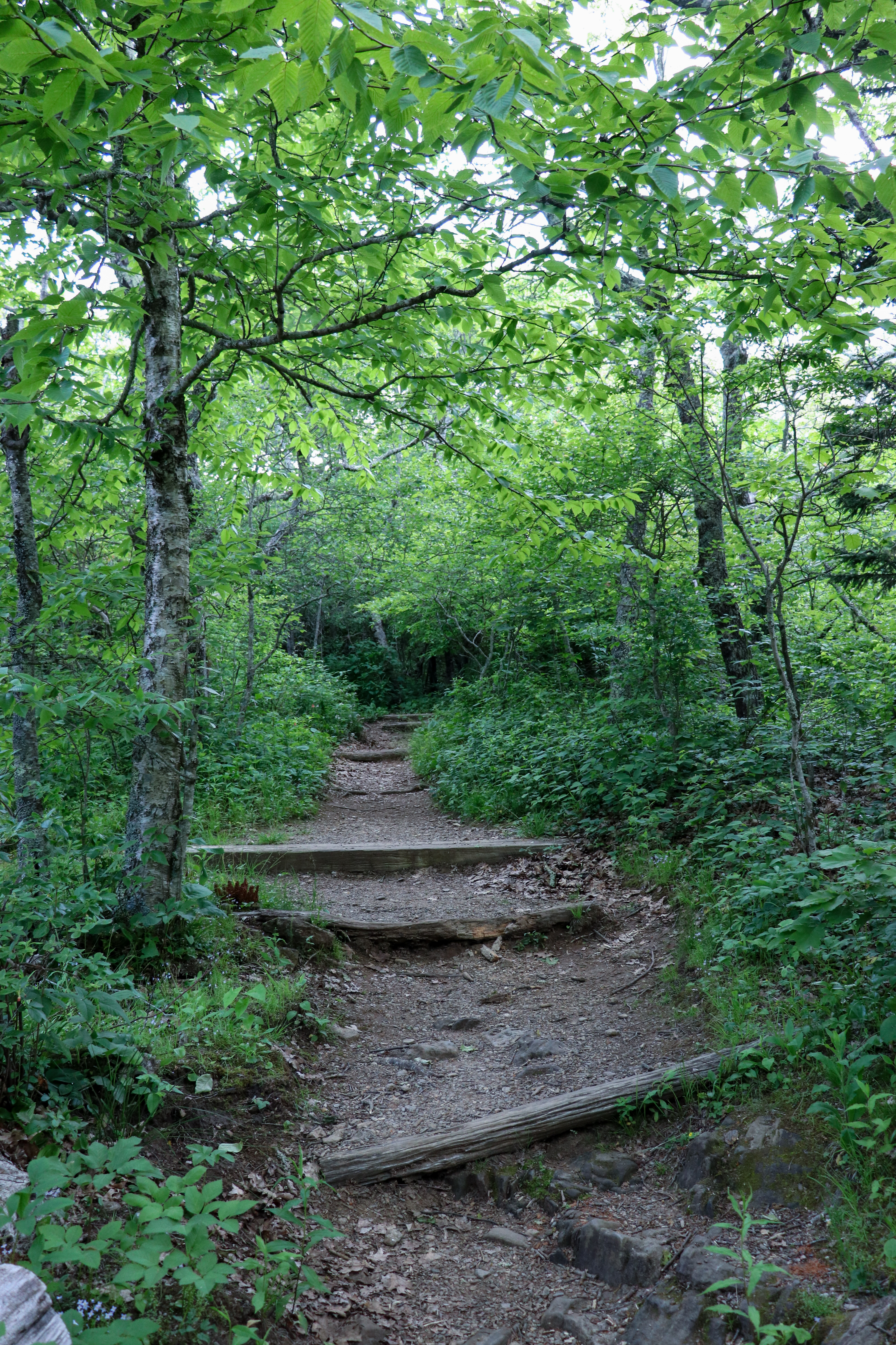
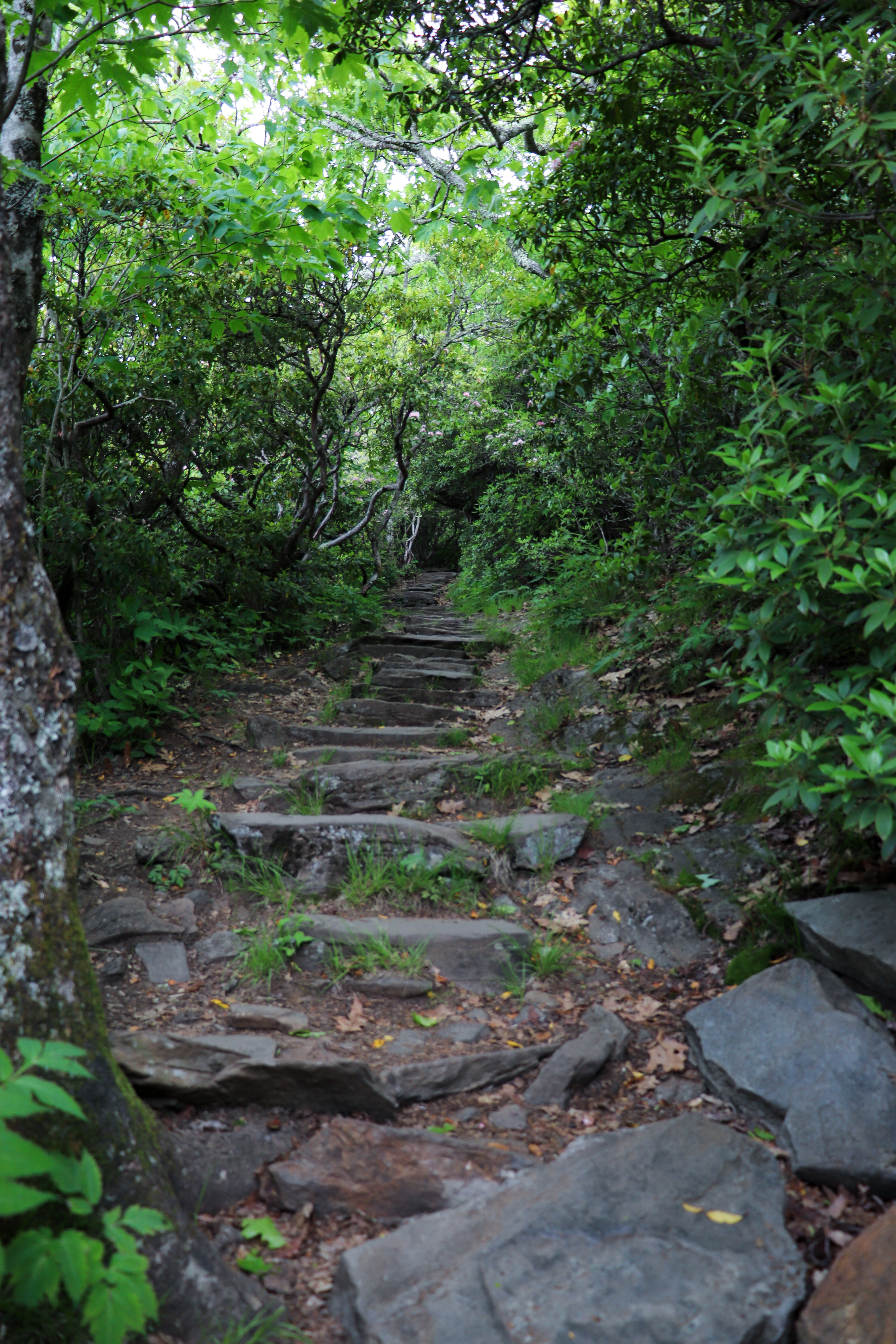
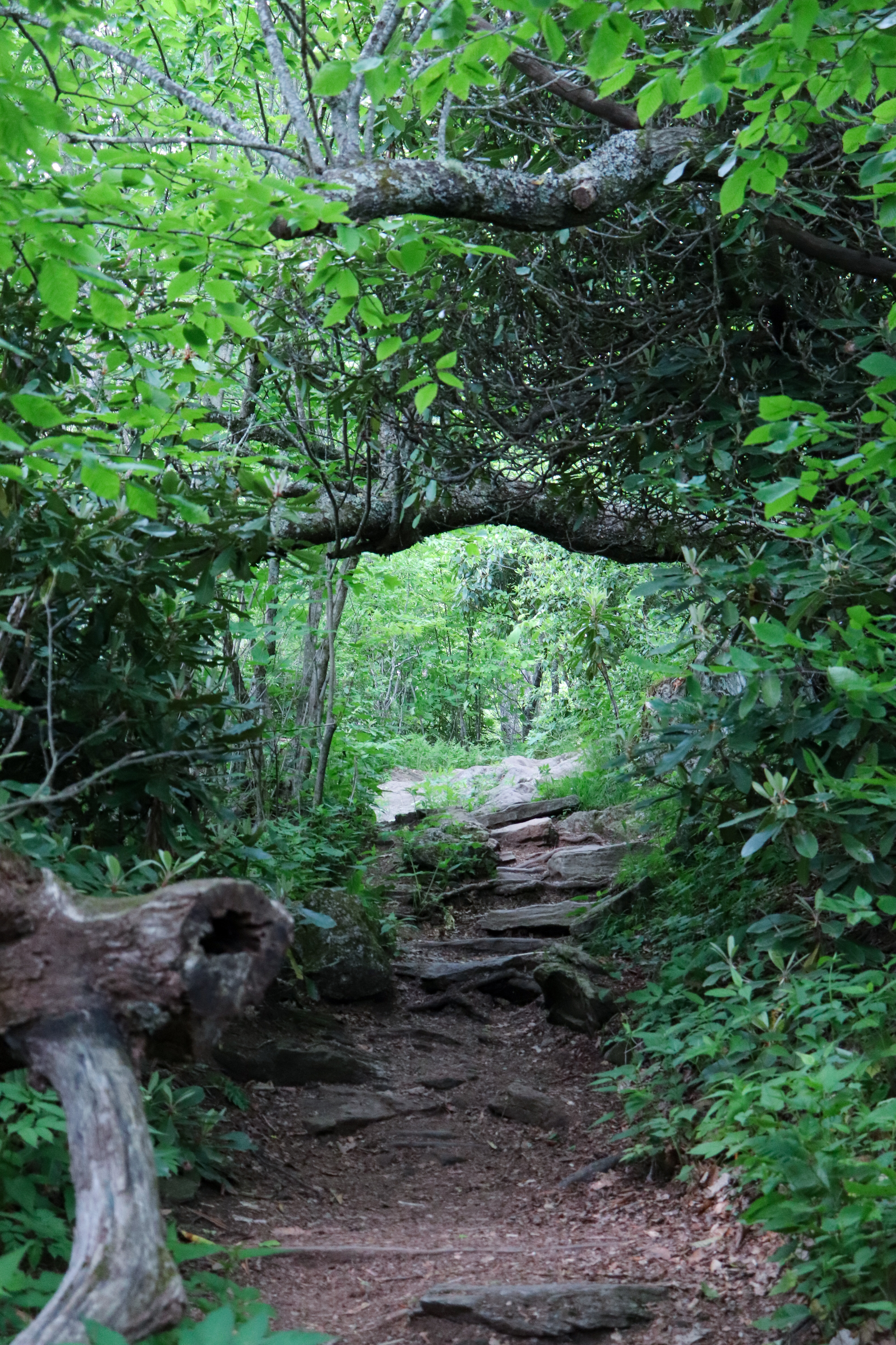
Although the hike to the summit is only a mile and a half long, it’s basically all uphill. It appears flat, although it’s a gradual climb for about the first half mile. But it doesn’t take long to reach the steps that start the real ascent. From here, gradual steps will become steeper, stone steps about half a mile from the summit. Overall, the hike has a 712 foot elevation gain. Because of the nature of this uphill hike, be sure to give yourself plenty of time to complete it, especially if you’re already hiking the the trailhead as this will take extra energy for the extra mileage.
Be mindful that this is black bear country so be prepared if you encounter one. We didn’t see one on this trip, but I definitely heard one in the middle of the night our first night at camp. If you run into a bear on trail, remember to keep your distance. Most likely it’ll spot you and run away. But if it starts to approach you, do not turn around and run. Instead, face the bear, avoid eye contact, and make loud noises and big movements. The goal is to make the bear think you’re too big and not worth its time. Black bears don’t typically go after humans unless they feel threatened by them.
Also be mindful of the weather. Thunderstorms can pop up at any time, especially on a summer afternoon. A storm hit right when we reached the summit of Mount Pisgah. Thankfully there was no lightning, but we headed back anyways. Always be ready with rain gear because you never know when rain will start to fall.

Closing Thoughts
Mount Pisgah Trail is worth the hike and even better if you’re staying at the Mount Pisgah Campground. There’s just something special about hiking directly from your campsite and enjoying these Blue Ridge Mountain views. I also cannot stress enough to be sure to hike the Buck Springs Gap Overlook part of the trail. This section is easier and just as enjoyable as the summit itself.
Be sure to watch the video of this adventure on YouTube. And let me know in the comments below if you’ve explored any of Mount Pisgah before. Until next time, enjoy exploring Chatt!

Leave a Reply