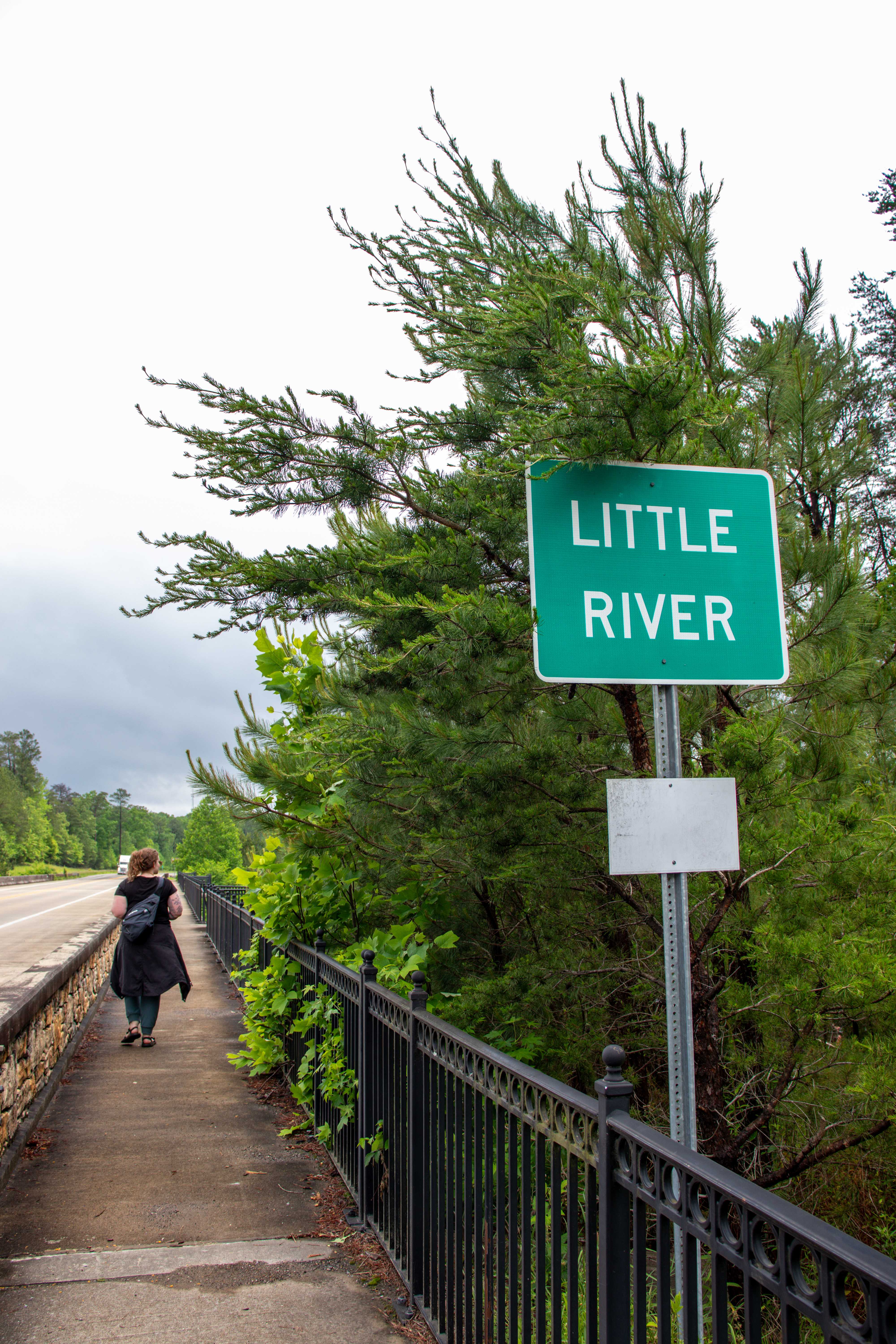
Little River Canyon National Preserve is a waterfall, swimming hole, scenic drive and overlook paradise located in northeastern Alabama.
Little River Canyon is the perfect day trip from Chattanooga. It only takes a little over an hour to drive down and enjoy the natural beauty that is Little River Canyon. It’s technically located on Lookout Mountain, the same mountain that starts in Chattanooga and runs down through Georgia and Alabama. Here you can enjoy hikes, waterfalls, swimming holes, scenic views, and more. Keep reading to learn all about what this preserve has to offer.
In a hurry? Pin this post for later:
Little River Canyon National Preserve
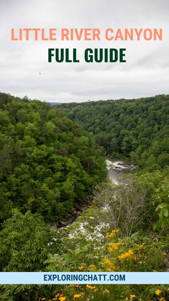
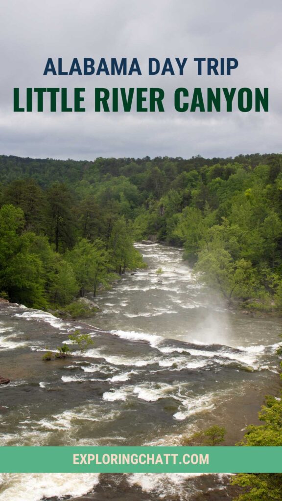
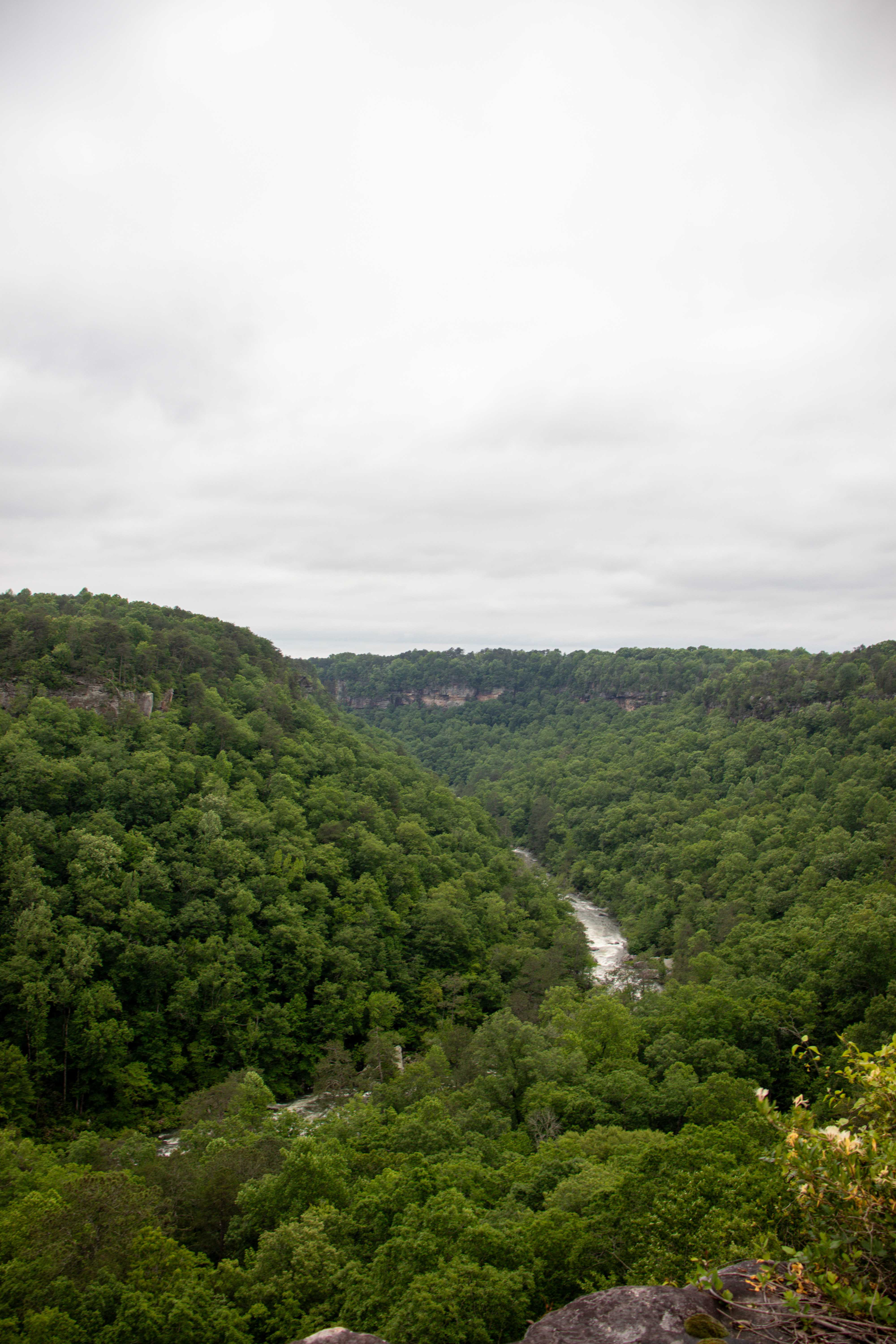
Located in northeastern Alabama is over 15,000 acres of beautiful woods that cover Alabama’s deepest canyon as the Little River runs right through the bottom. This is the Little River Canyon National Preserve. Founded in 1992 with the help of Randy Owen from the band “Alabama,” Little River Canyon remains an outdoor destination for families all year long due to its scenic views, beautiful waterfalls, and day-use amenities.
Now you may be thinking, “I’ve been to national parks before, but what’s a national preserve?” Essentially, both are the same in that they are owned and operated by the national park service. But that’s where their similarities end. National parks protect all the natural resources, plants, and wildlife within their boundaries while national preserves protect some and allow for others to be used with the acts of hunting and fishing. But this doesn’t mean you can just hunt and fish freely in the national preserves. Wildlife is monitored to maintain a certain population, so you must follow the schedules and stay within the legal limits. Find everything you need for fishing at Little River Canyon on their website. And plan your hunting trip at Little River Canyon by following the requirements.
Wildlife Management Area
The wildlife management area covers the northern half of the preserve. This is where you can hunt in season. There’s 23 miles of dirt roads that meander through this area where it’s recommended to use a four-wheel drive vehicle. Only road legal vehicles are allowed here, so no dirt bikes or ATVs can be used. Although I have not visited this section of the preserve, I know that there’s still access to the Little River and other daytime activities such as hiking, mountain biking, horseback riding, and kayaking are welcomed here. There’s only 2 hiking trails in this area, but the 11 roads are also hikable, just watch out for vehicles. Learn more about the wildlife management area of Little River Canyon on the preserve website.
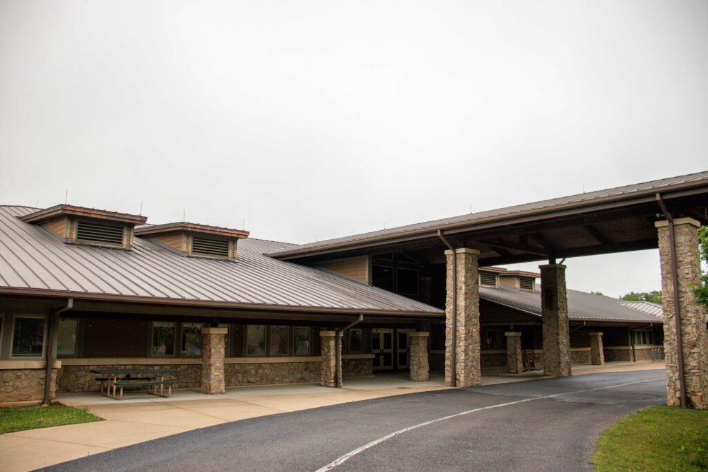
Little River Canyon Center
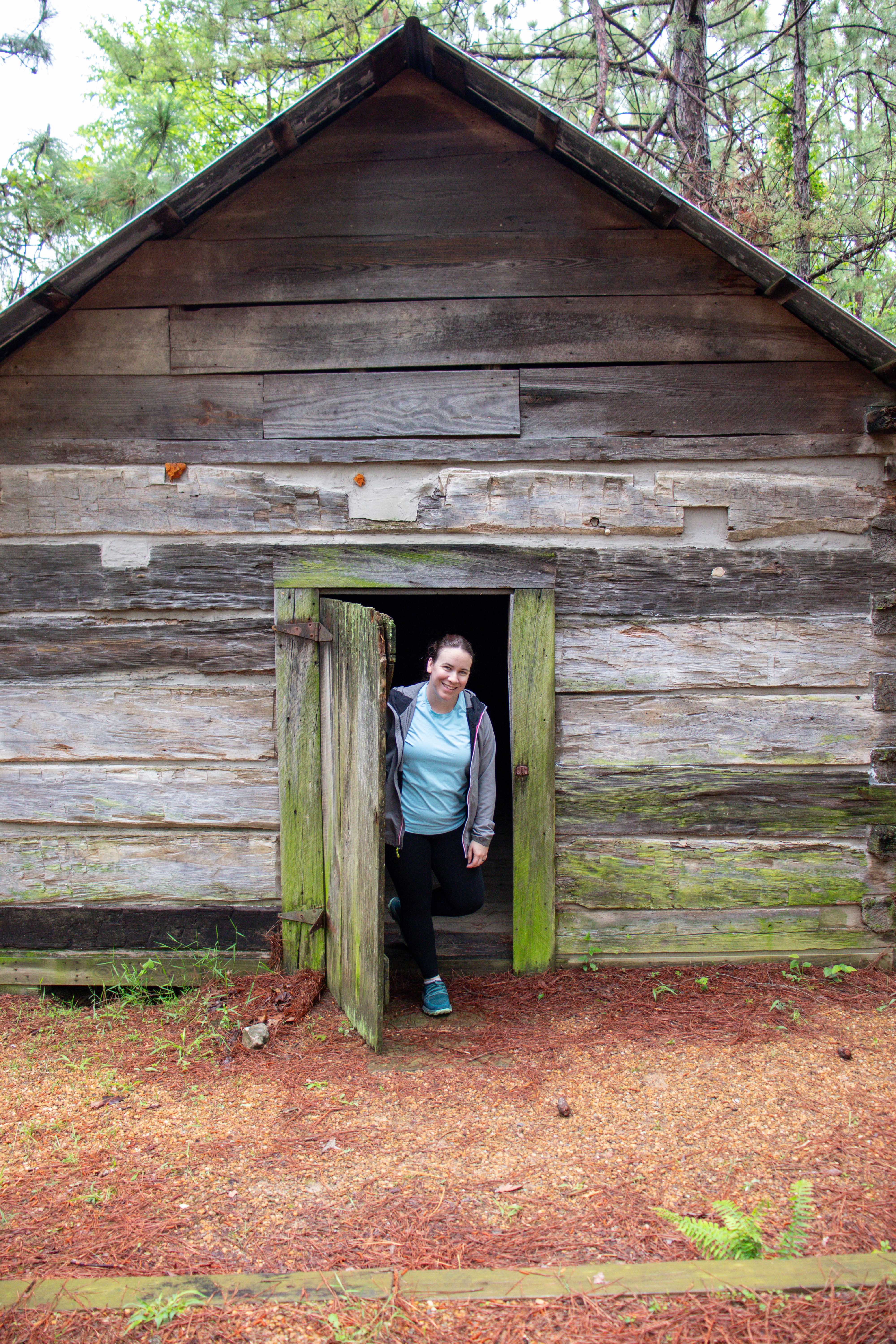
The Little River Canyon Center acts as the preserve’s visitor’s center. It’s located in the middle of the park near the biggest waterfall that is probably the most visited attraction they have to offer. Inside the center you’ll find restrooms, information about the park, a gift shop, and even a theater where they play a short video that showcases the park and what makes it a unique and beautiful place to visit and explore.
Waterfalls and Swimming Holes
Just down the road from the Little River Canyon Center is the parking lot for the two waterfalls that you can hike to within the park. This parking lot is large and has pit toilets. There’s also a picnic area at the back of the lot.
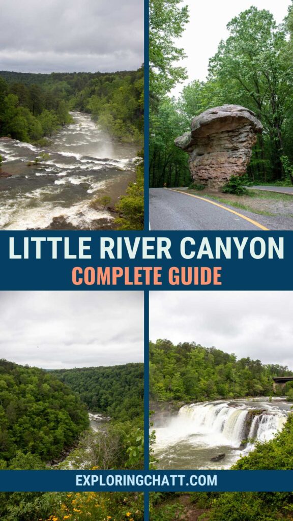
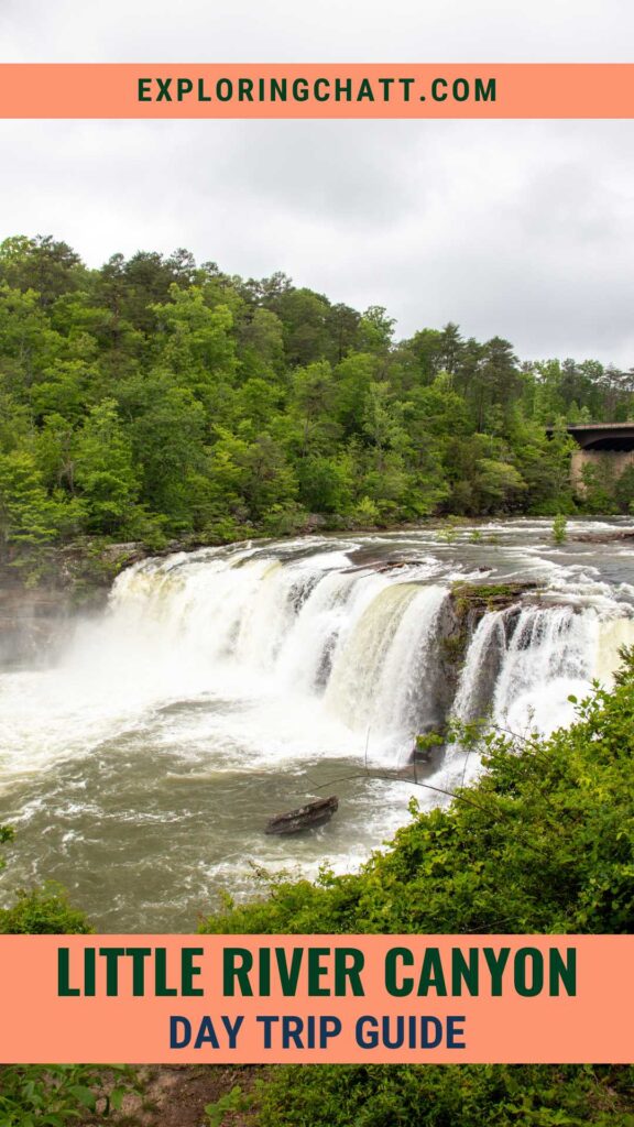
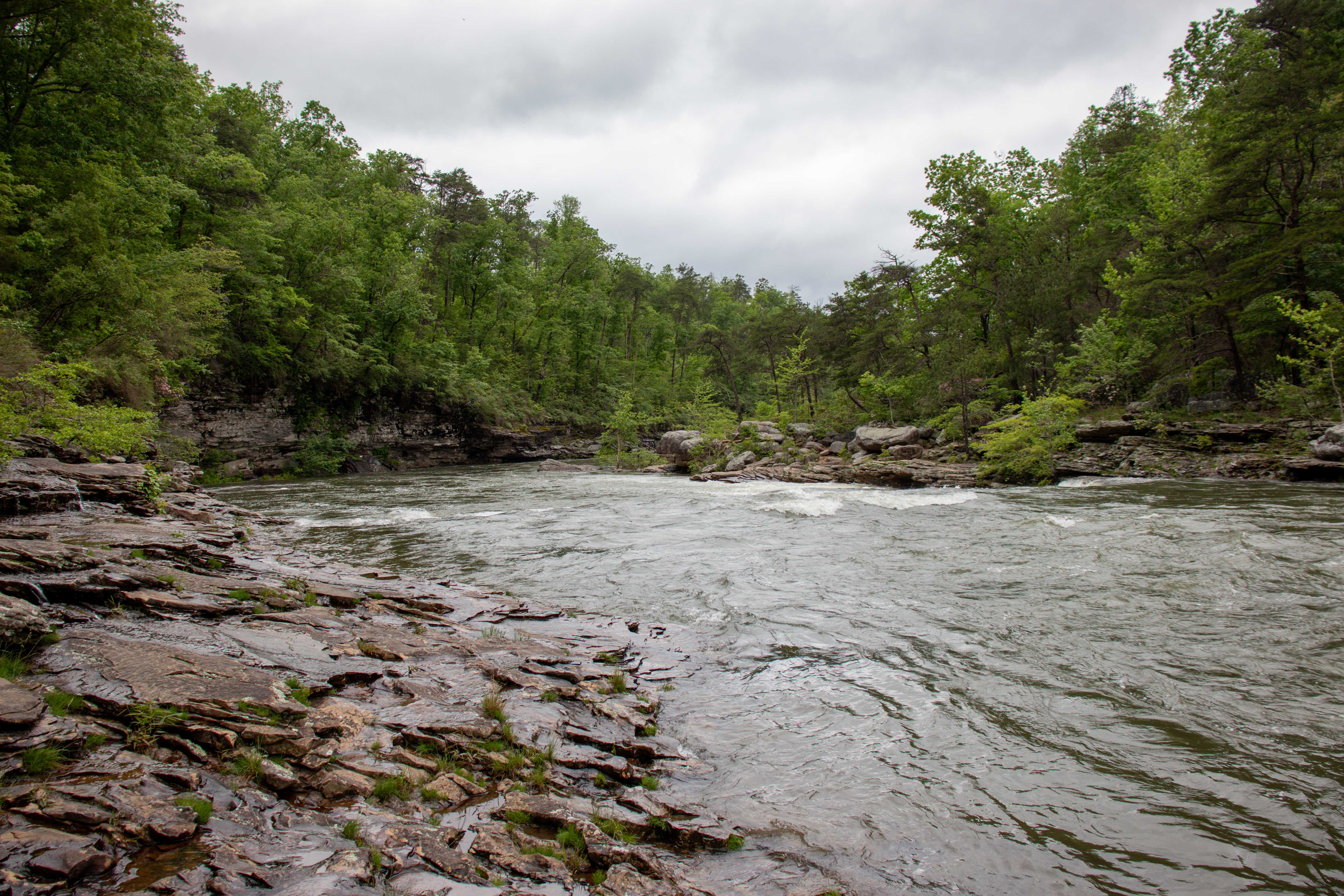
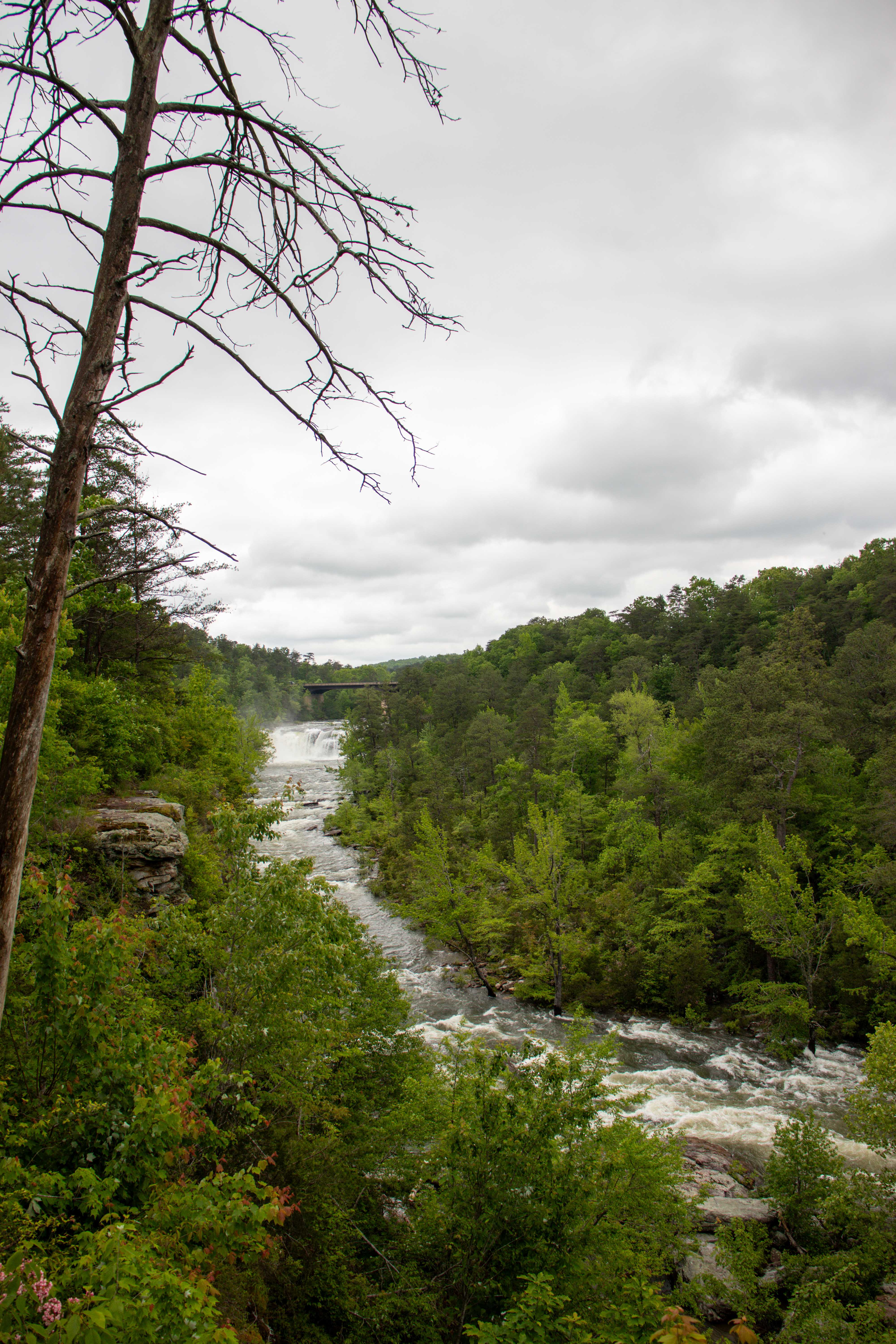
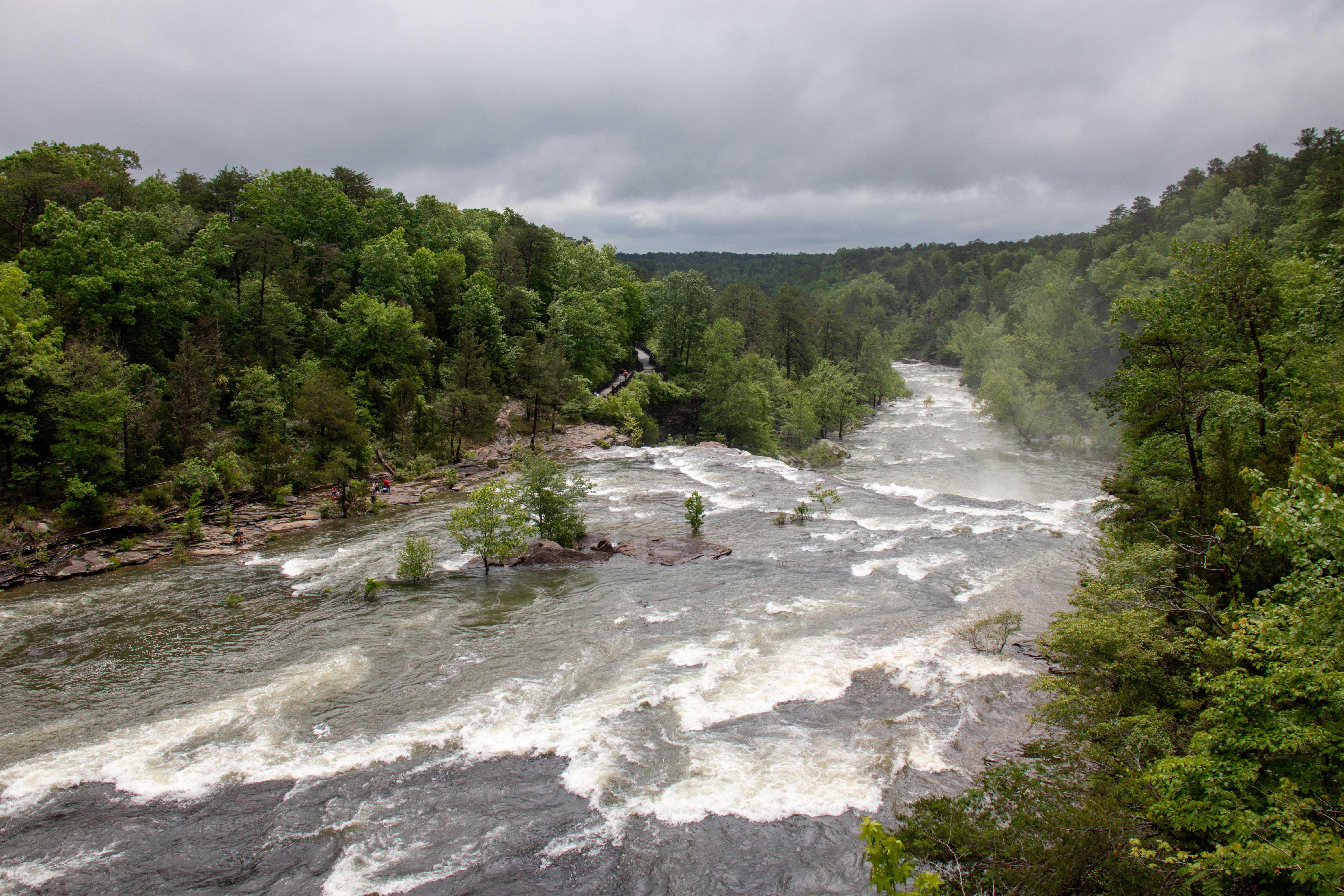
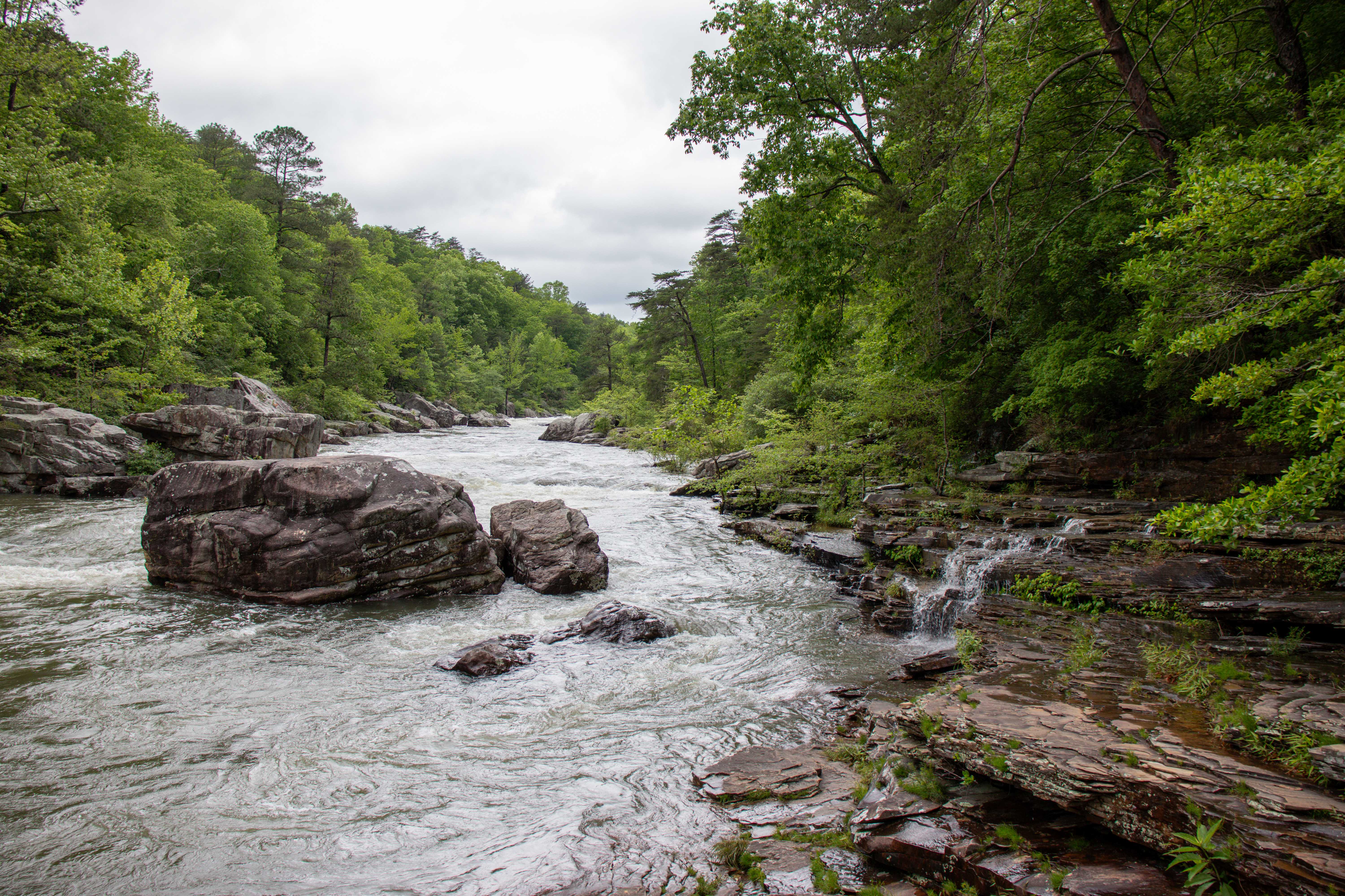
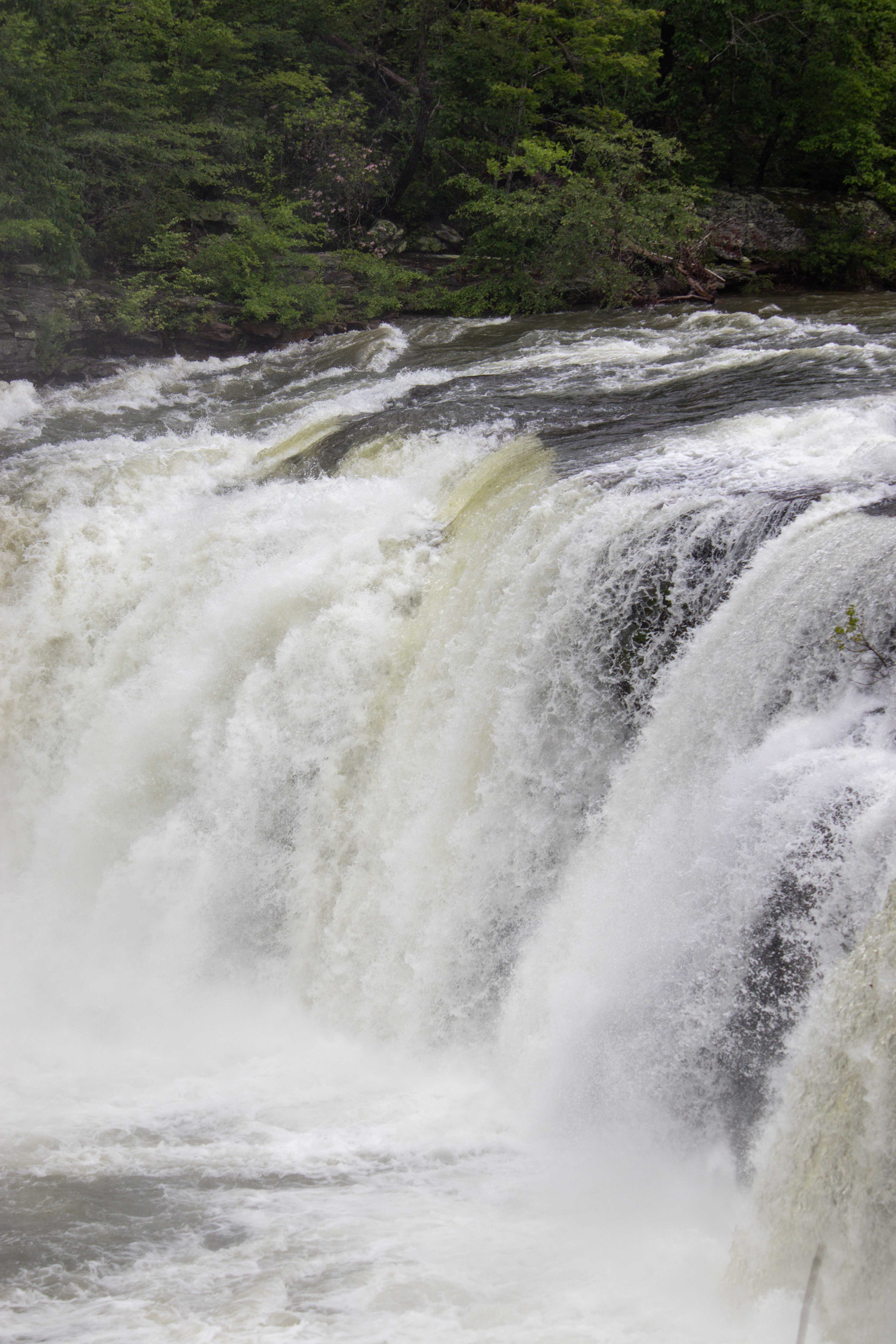
Little River Falls
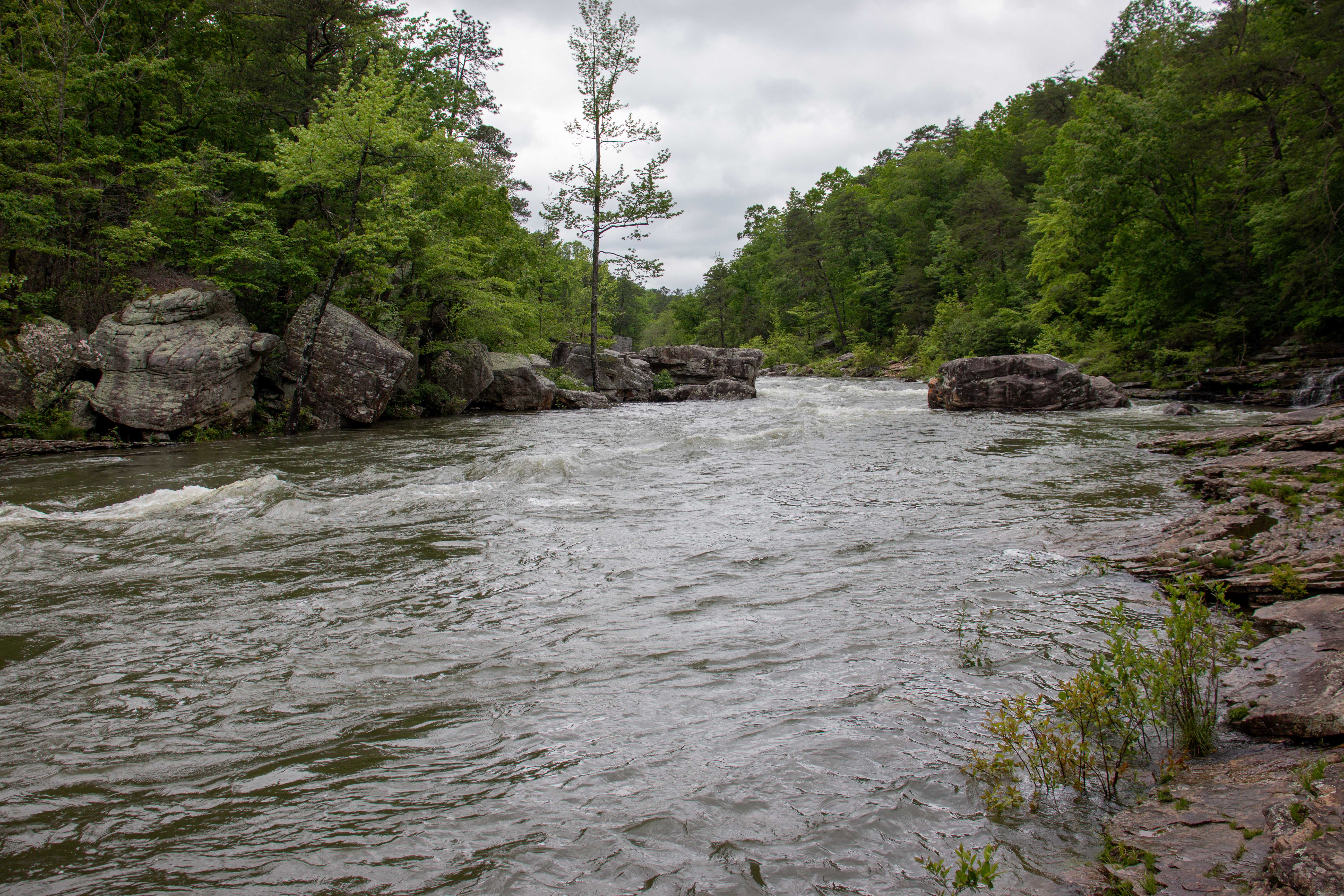
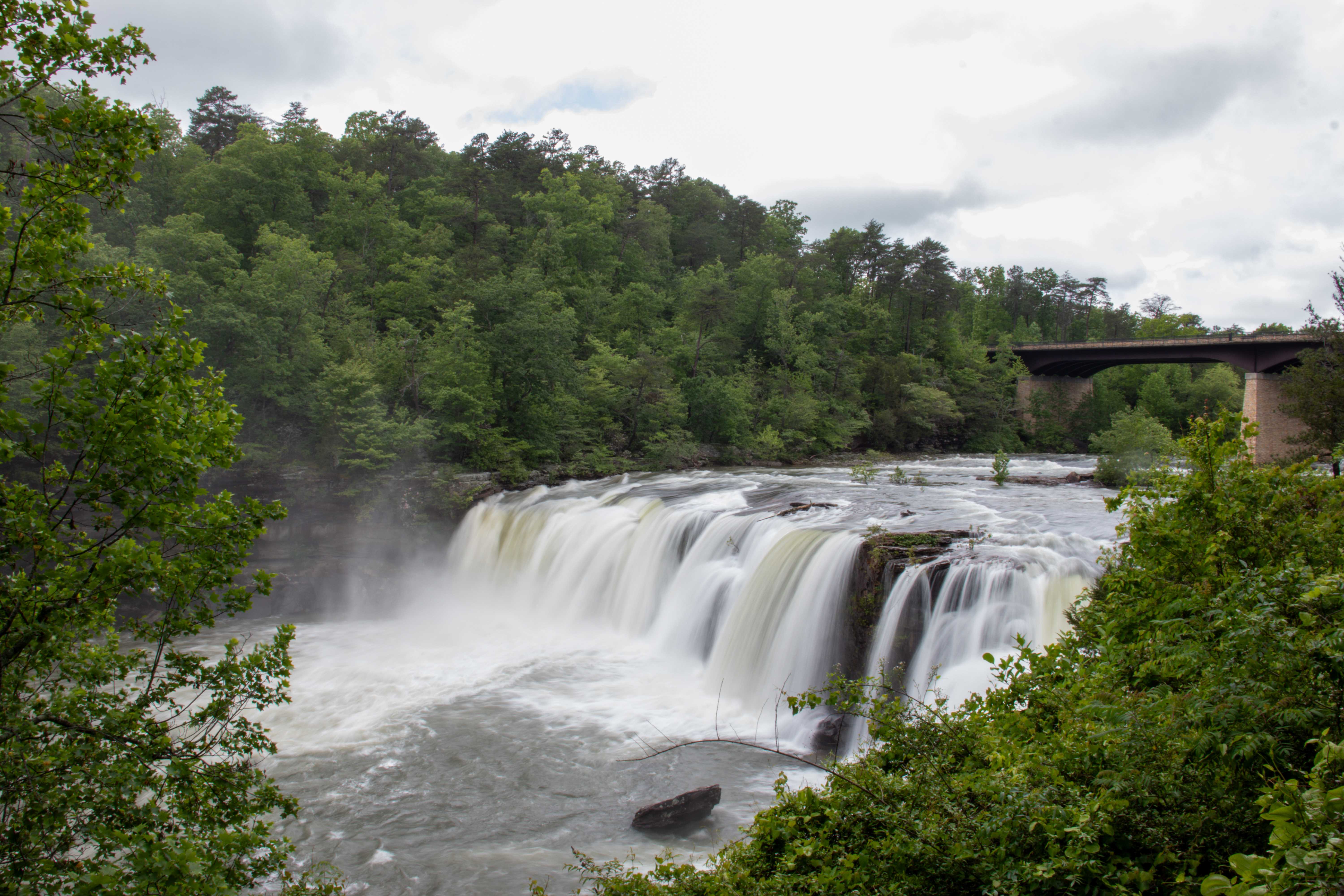
Little River Falls is the largest waterfall standing at 45 feet tall and twice the width if it’s fully flowing. It can be seen from above via the Bridge Trail or hiked down to via the main trail that overlooks the front of the falls. There’s also a trail that takes you to the river’s edge just above the falls, but be careful not to get within 50 feet of the top of the waterfall as the river current or an accidental slip could cause you to fall off the top and seriously injure or kill you.
Little Falls
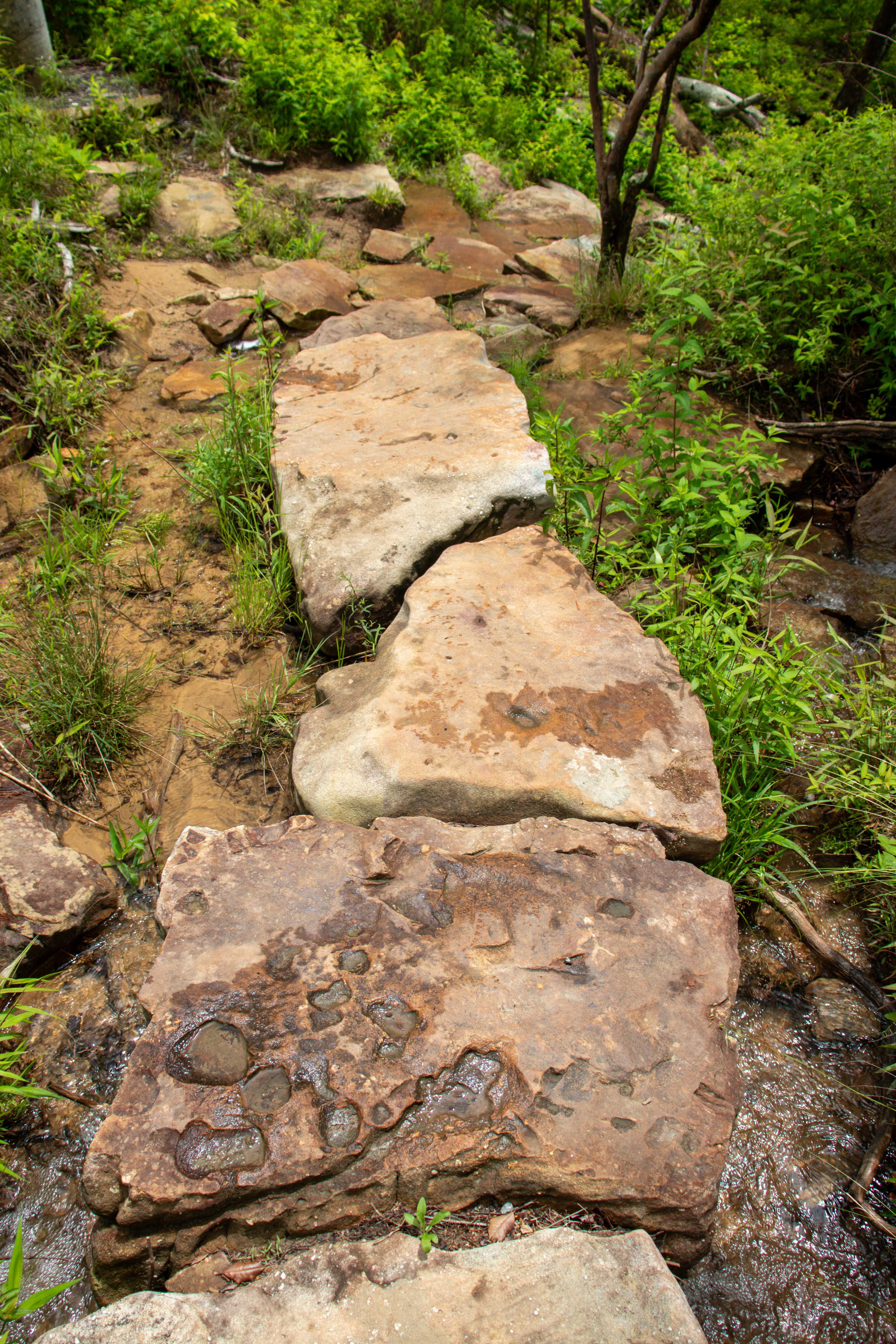
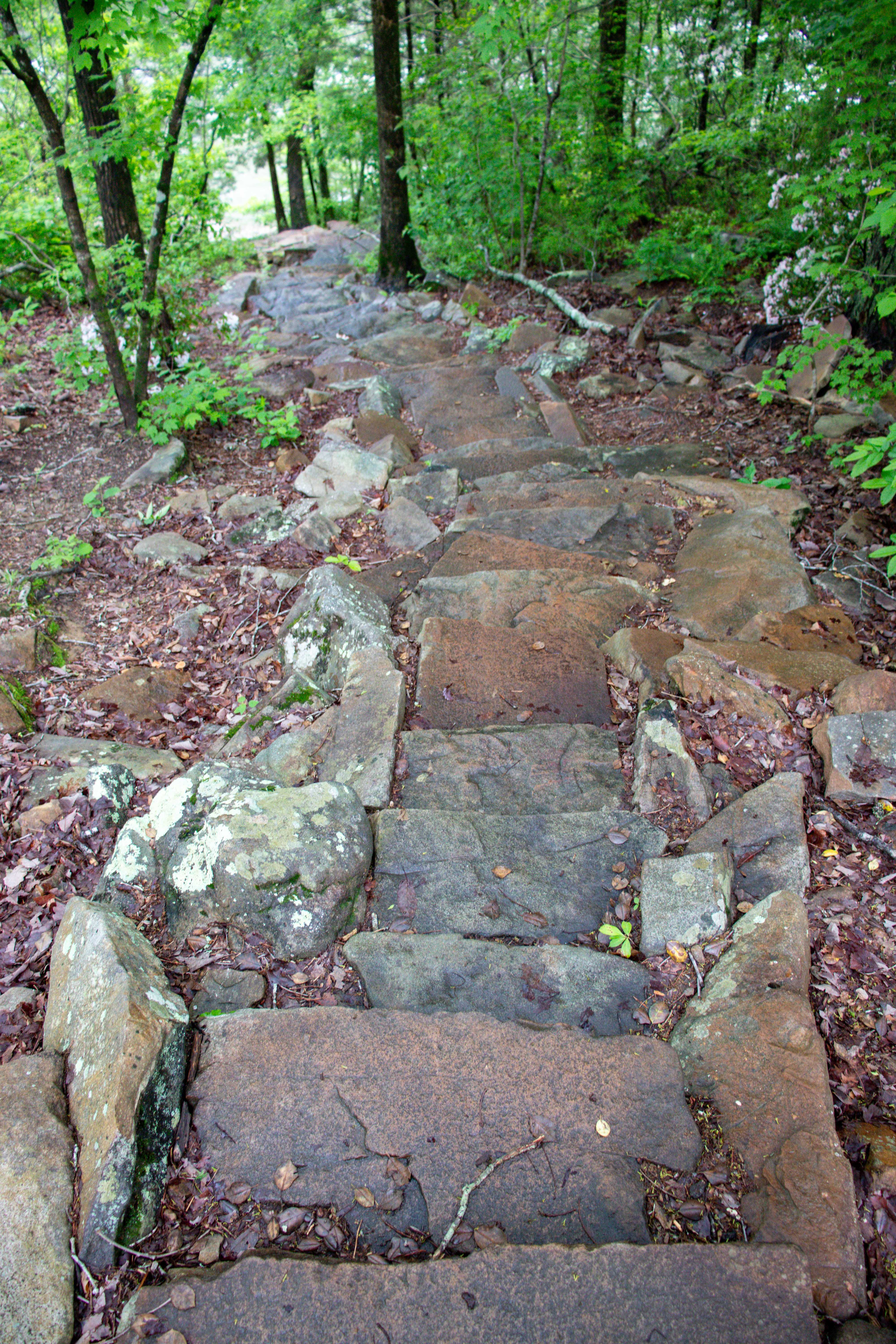
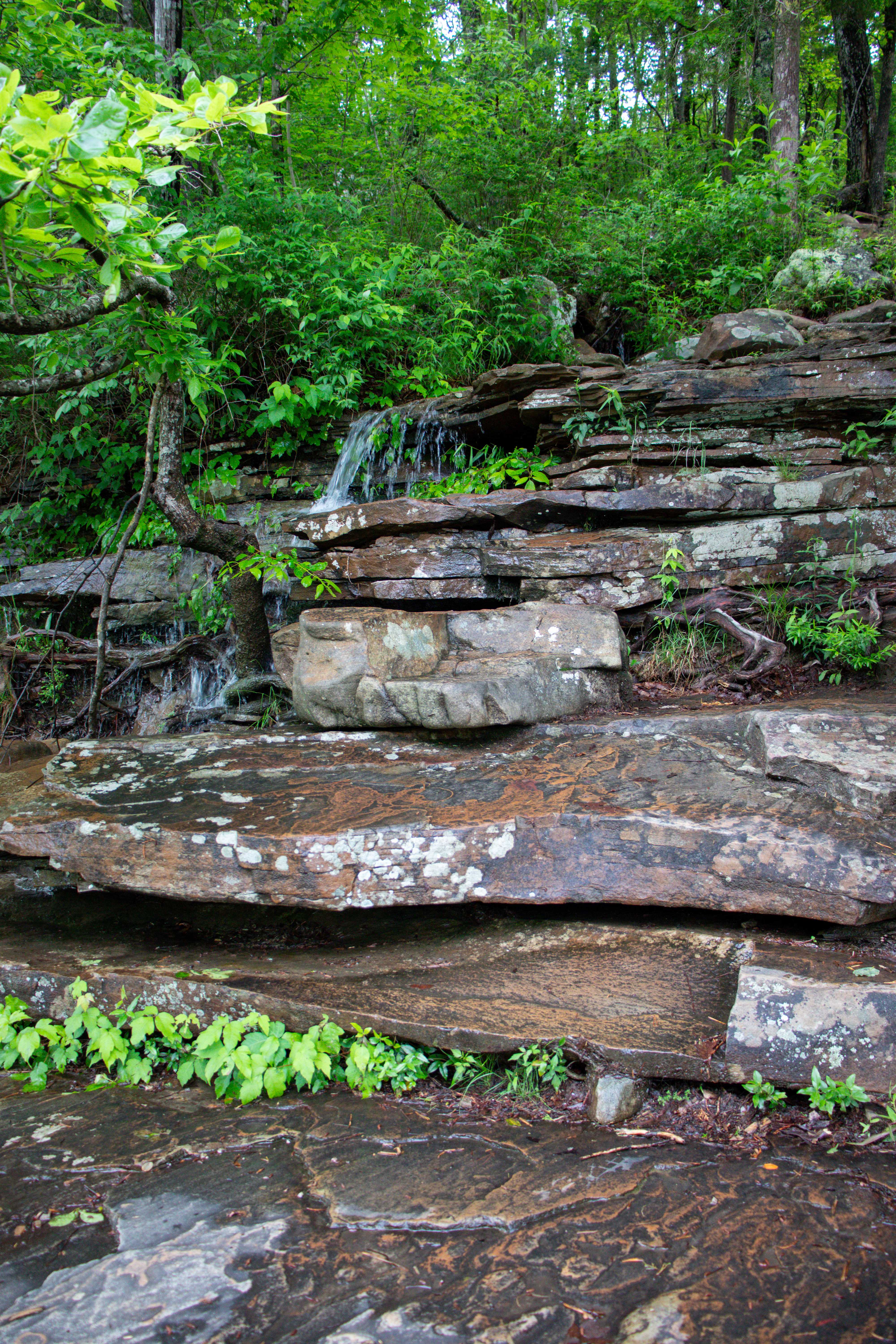
Little Falls is a small waterfall downstream of Little River Falls. You can only access this waterfall by hiking the Little Falls Trail and descending 137 stone steps to reach the river basin. Only during the drier months will you be able to hike to the actual falls. During the wetter months, the river is too strong and blocks the pathways to get downstream to where the waterfall and swimming hole at its base are located.
Blue Hole
On the same side of the road as the Little River Canyon Center is the Blue Hole parking lot. This small, gravel lot is located just past the waterfalls’ parking lot and is small to limit the crowds. There’s a short walk down to the river’s edge where the water is calmer in the summertime making this a perfect spot for families who want to enjoy a cold river swim. Note, since the parking lot is small, it usually fills up by late morning. It’s advised you arrive early to snag a spot. Otherwise you will be turned away by a park ranger.
Little River Canyon Rim Parkway
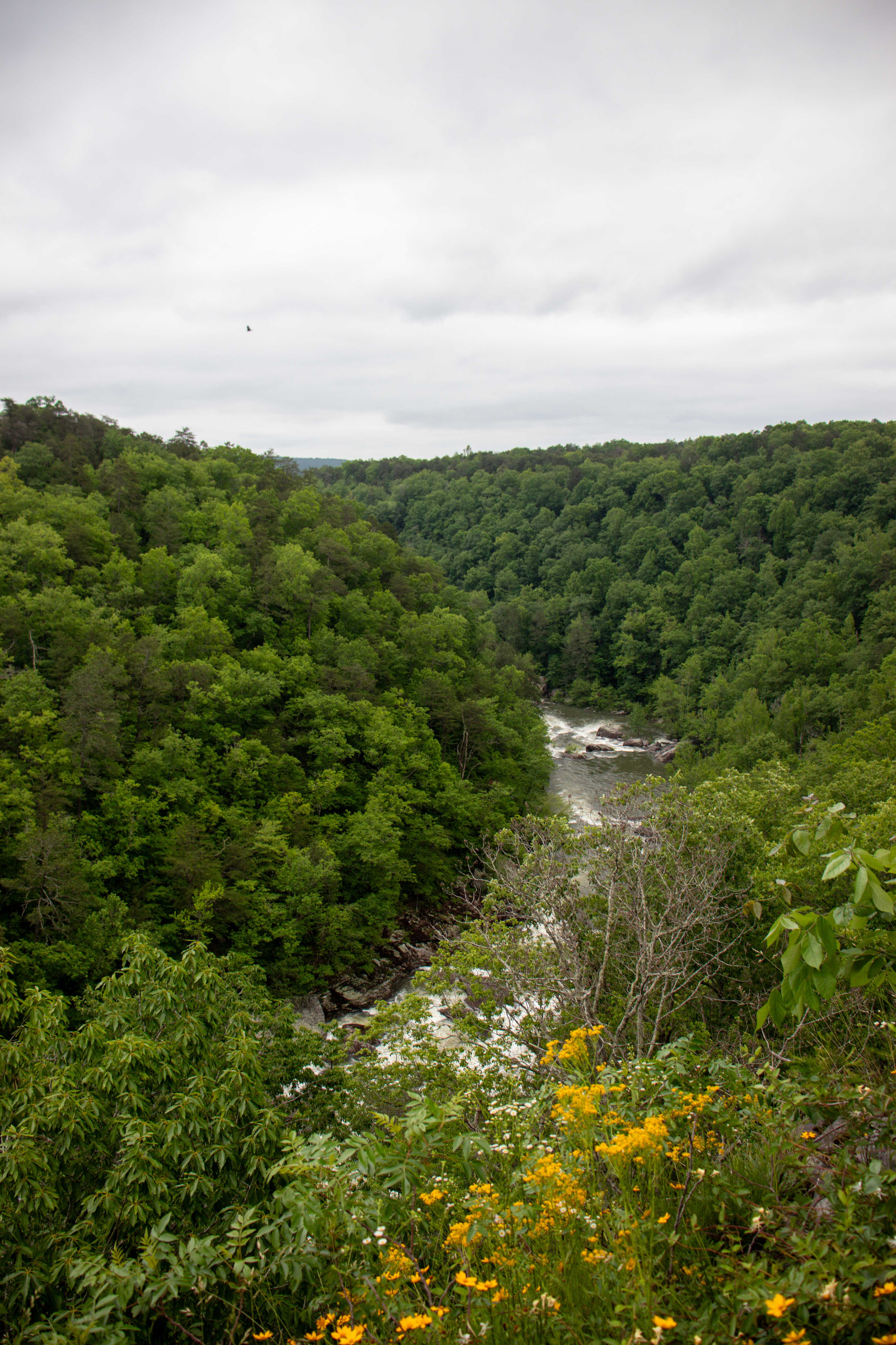
The southern half of the preserve has what is known as the Little River Canyon Rim Parkway which starts just down the road from the Little River Canyon Center and heads south along the top, western rim of the canyon. Along the way of this 11-mile drive are various pull-offs to see views and take hikes into the canyon below.
Little River Falls Overlook
Little River Falls Overlook is the first overlook you’ll come across on your drive south. This overlook has ample parking and the elevated boardwalk is short, leading to an observation deck that provides a beautiful view of Little River Falls from afar. There’s also a viewfinder here to help you get a better look at the waterfall from this vantage point.
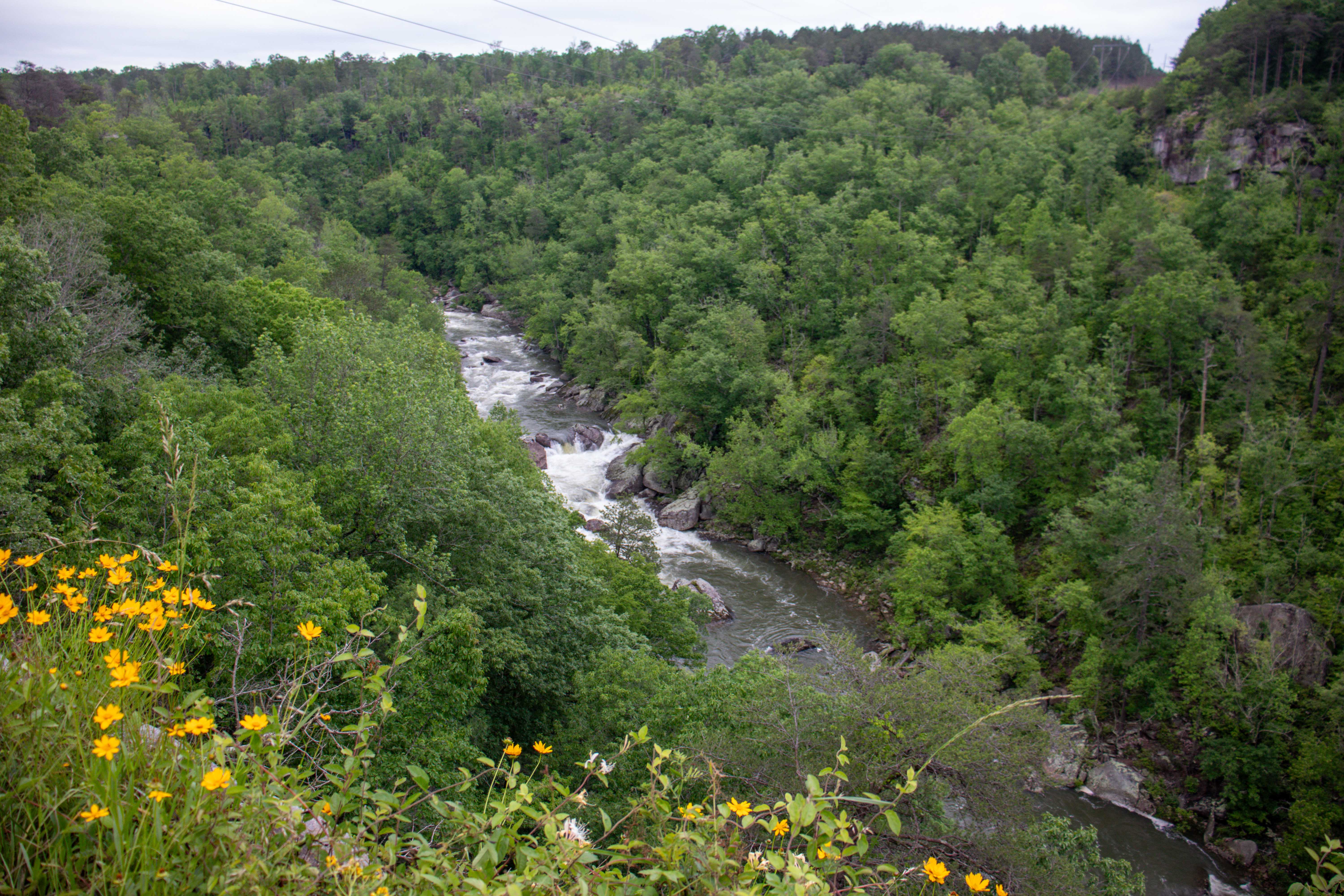
Lynn Overlook
Next is Lynn Overlook. This parking area is a rough, gravel drive. Here is where many rare plants in the preserve are known to be found. You can explore the plantlife around you, but also be sure to take in the view from the overlook at the back. This is where you’ll see the Little River below starting to dig deeper into the canyon.
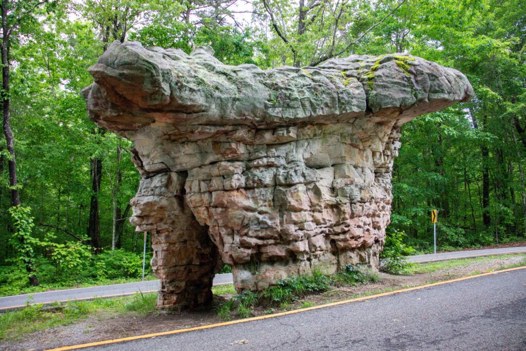
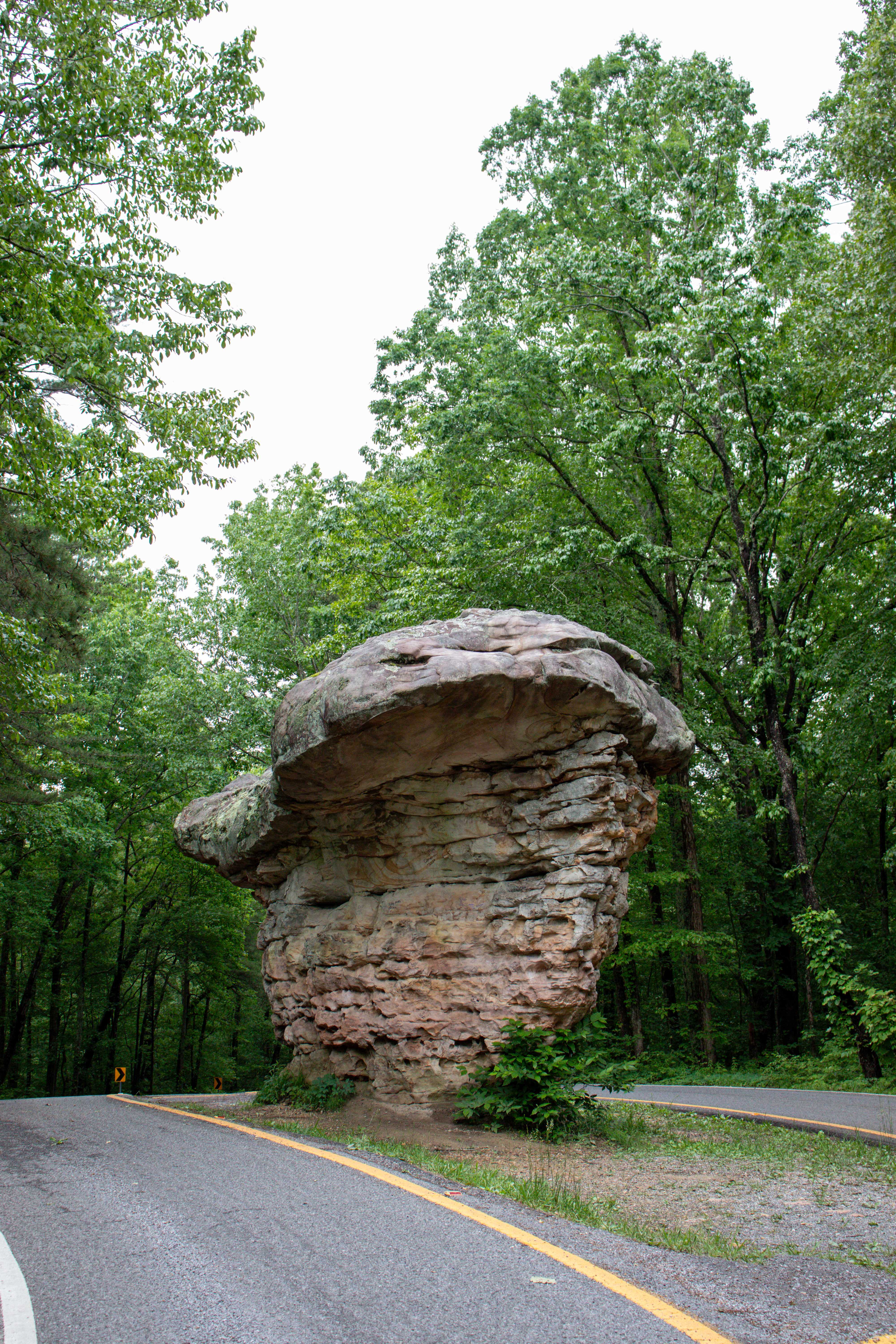
Mushroom Rock
Blink and you’ll miss it! In the center of the road is Mushroom Rock. And when I say “center of the road,” I mean it. The parkway carefully curves around it with both lanes splitting to create a median around this rock formation. There’s a pull-off on either side of the road, but I recommend the side that has additional rock formations. Here you can briefly walk through and enjoy these as well. Please do no graffiti.
Hawks Glide Overlook
Hawks Glide Overlook is a similar view of the canyon as the rest of the overlooks. A small, gravel pull-off provides ample parking for the wide overlook space. If you’re visiting in the fall, this is one of the best spots to enjoy the colorful leaves.
Canyon View Overlook
From the Canyon View Overlook is where you can really tell how deep the canyon is getting. This overlook has ample room for vehicles and plenty of space to walk around and enjoy the views.
Wolf Creek Overlook
Wolf Creek Overlook mirrors the previous. It’s the same view, but from the other side of the Wolf Creek ravine. It’s been said that the view is a little wider from here too.
Crow Point
Crow Point is an overlook that requires a short, steep hike to a boulder perch. From here you’ll be able to enjoy the canyon views a little further from the parking area.
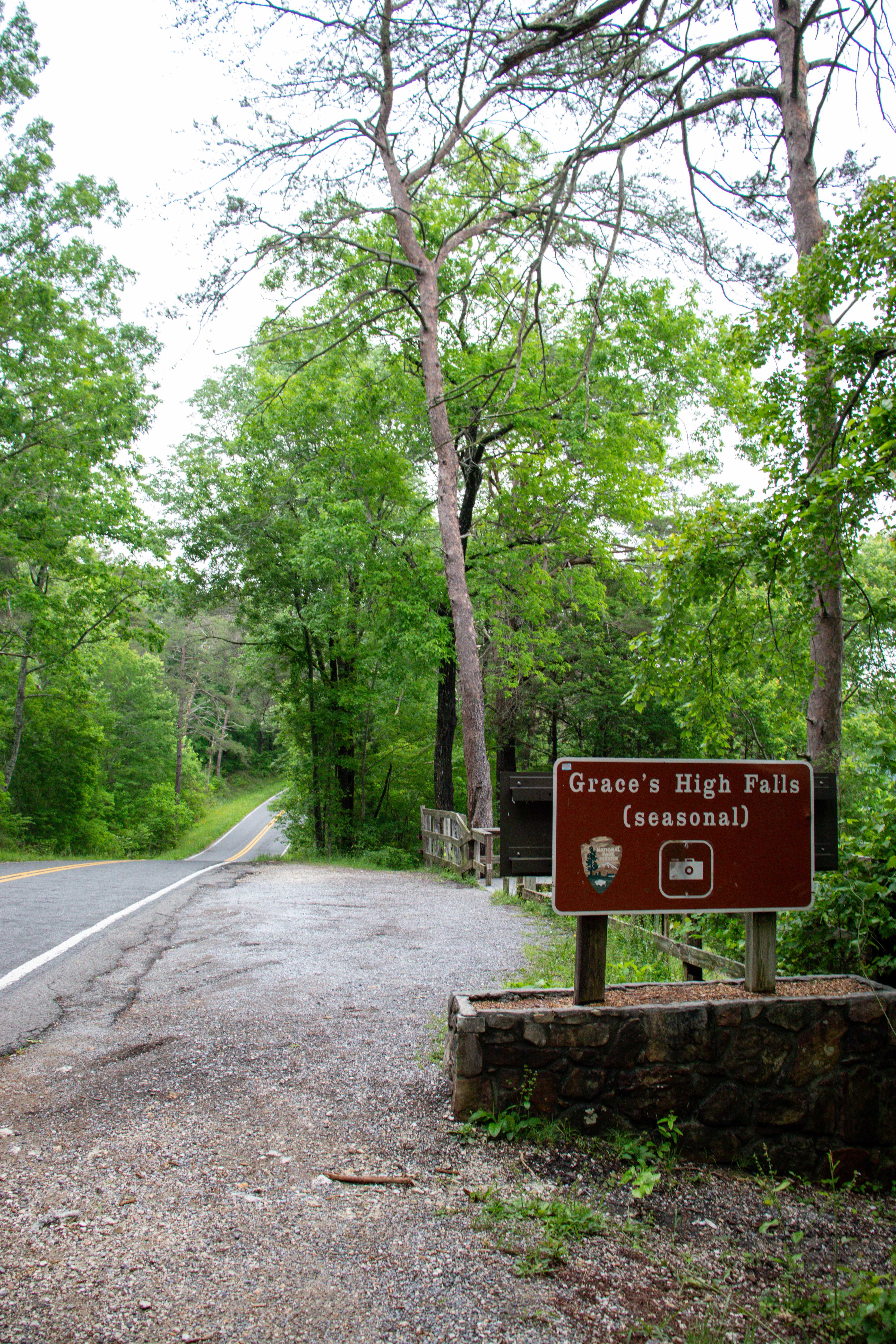
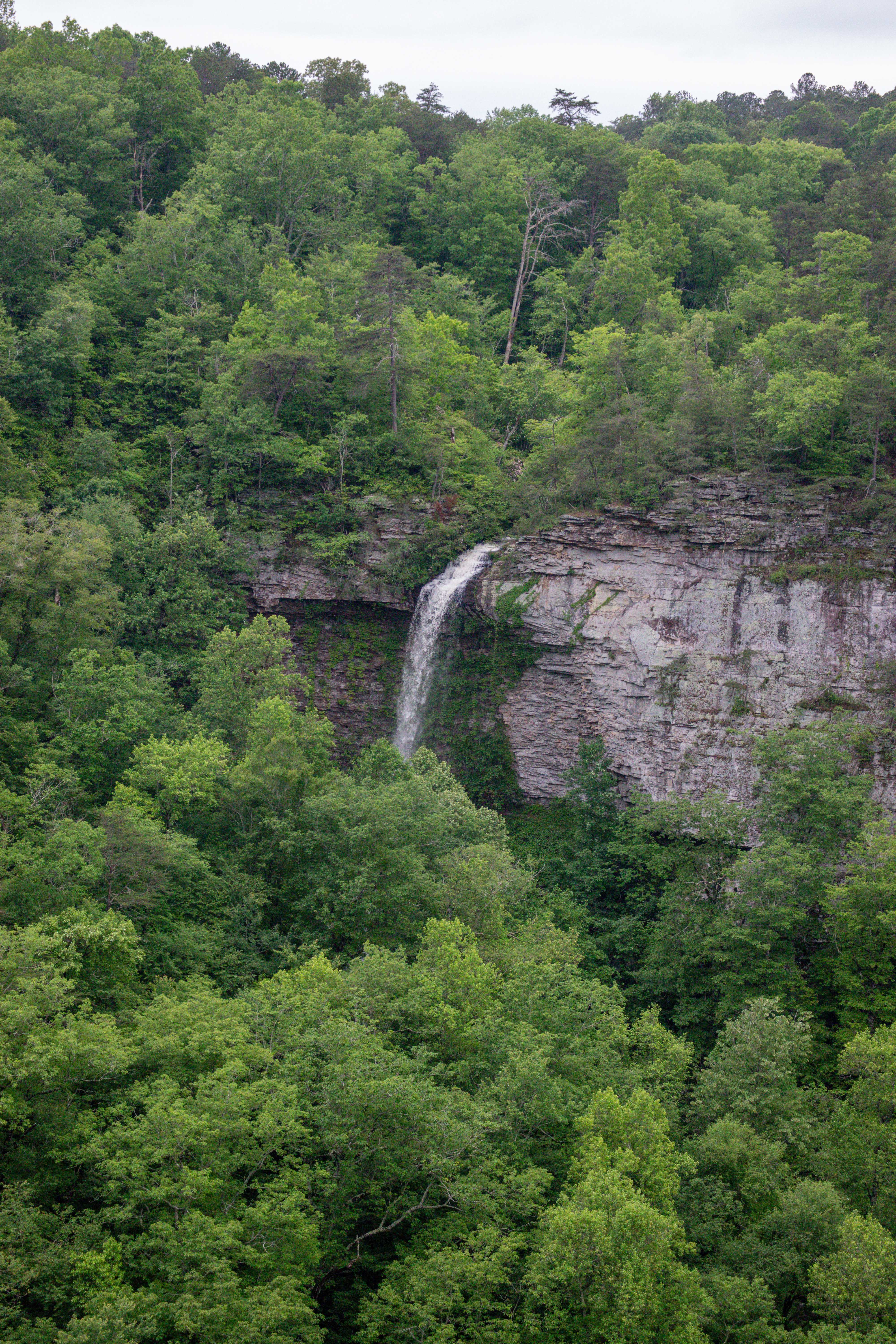
Grace’s High Falls
Grace’s High Falls is the tallest above ground waterfall in Alabama at 133 feet. From the pull-off, the observation deck is right beside the road. There’s another viewfinder here to help you see the waterfall that’s flowing down the opposite side of the canyon. This is as close as you can get to Grace’s High Falls.
Eberhard Point Overlook
From the parking area at Eberhart Point, you can take in the views, or opt to hike down into the canyon. There’s also pit toilets here for your convenience. If you plan to hike down into the canyon, I believe this would be one of the best trails to choose. This also marks the end of the Little River Canyon Rim Parkway.
Canyon Mouth Park Area
At the southern terminus of the preserve is Canyon Mouth Park. Currently, it’s the only fee area within Little River Canyon National Preserve. It costs $15 per vehicle for the day, or you can get an annual pass for $35. The self-serve kiosk accepts exact cash or card for payment.
This is a popular summer hangout as the swimming areas are vast, including shallow spots perfect for children. There’s also a playground and soccer field for additional fun. You can plan to spend the day here since there’s also picnic tables and grills. There’s fully plumbed restrooms here as well. And there’s an easy hiking trail that follows the river’s edge. Learn more about this fee area on their website.
Hiking in Little River Canyon
There’s 8 hiking trails in the southern half of the Little River Canyon National Preserve. Below I’ll summarize each of them by ranking of difficulty. Please note that these trails, especially the harder ones, are very lowly maintained and you should approach these hikes at your own risk.
Easy Trails
Path to Learning
Length: .5 mile
This half mile loop is located directly behind the Little River Canyon Center. The wide trail is a combination of gravel and dirt while remaining fairly flat. Along the way are learning stations. Each features benches and a presentation based on various topics regarding the history and nature of the preserve. This is designed for field trips but is also open to the public. Who knows, maybe you’ll learn something new on the Path to Learning Trail.
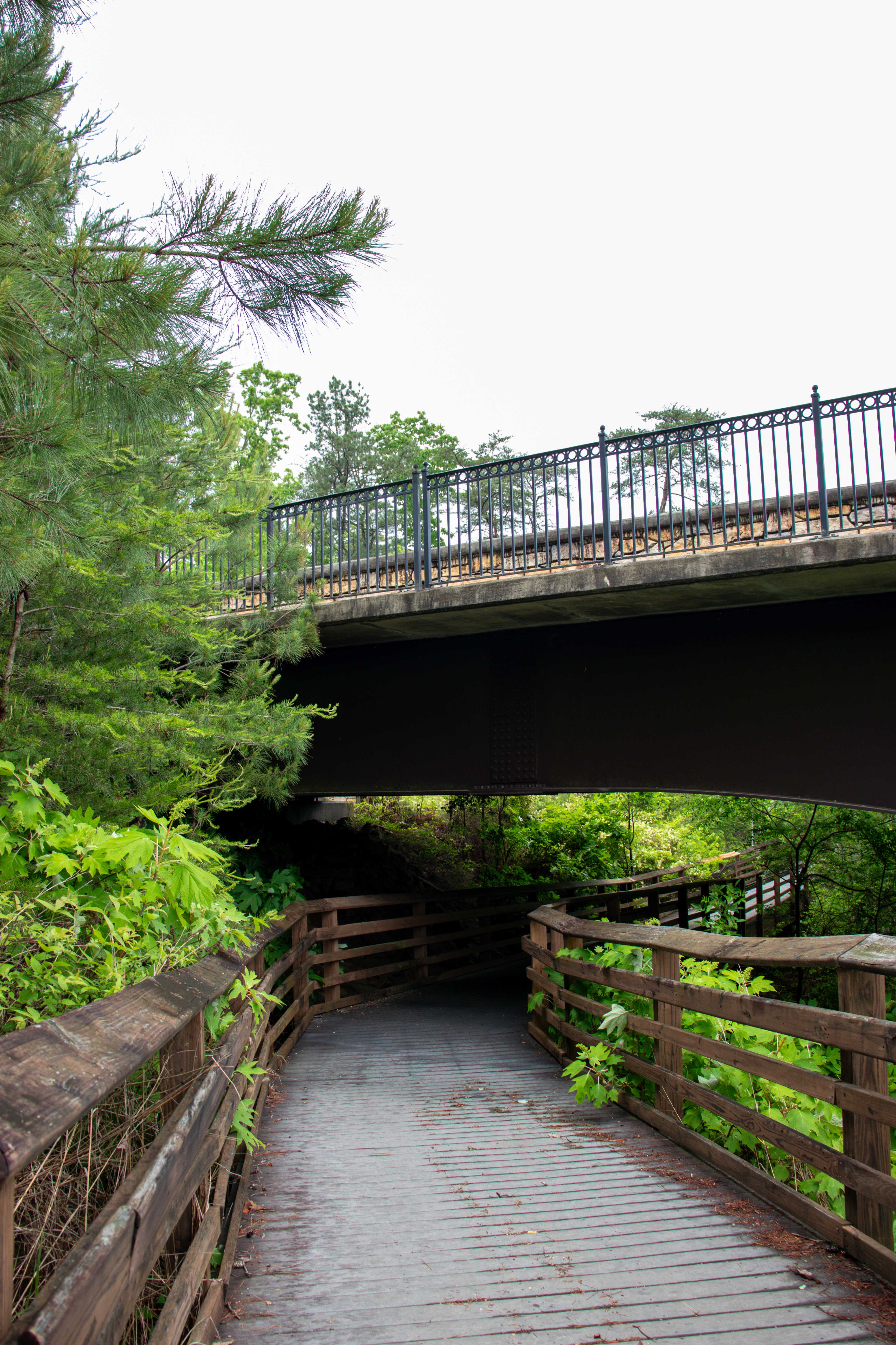
Bridge Trail
Length: .75 mile
The Bridge Trail starts behind the Little River Canyon Center but on the eastern side. It can be found by leaving out the back of the center and turning right. Head down that main trail until you see the hiking sign, just past the Path to Learning trail sign. The trail is a little rocky with some tree roots to start out before getting close to the bridge where it becomes a ramp up to the roadway. This trail takes you safely from the center to the waterfalls parking lot by crossing underneath the busy highway. Then it goes on the highway bridge where you can enjoy amazing views of Little River Falls from above.
Beaver Pond Loop Trail
Length: 1.5 miles
I haven’t explored Beaver Pond Loop Trail yet, but from what I understand, it’s a fairly flat trail that loops to Beaver Pond and back. Along the way are multiple creek crossings with bridges. It’s a great hike for enjoying the rare plants and wildlife within the preserve.
Canyon Mouth Trail
Length: 1 mile
This is simply the trail within the fee area of Canyon Mouth Park. The trail follows the river’s edge. I haven’t personally explored this spot.
Moderate Trail
Little Falls Trail
Length: .75 mile
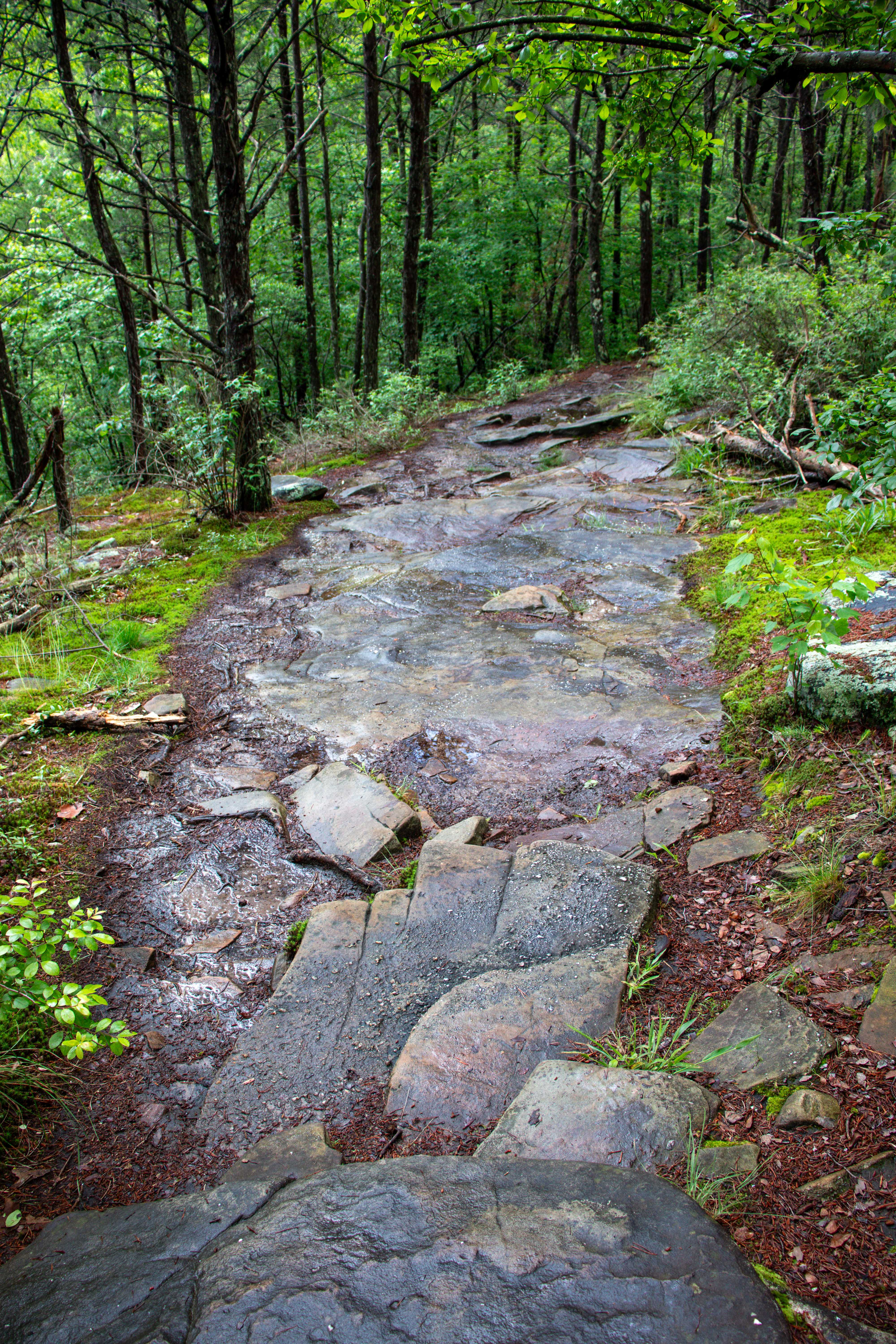
The Little Falls Trail starts at the parking lot for the waterfalls, or you can join it with the short walk down to the Little River Falls. The trail is rocky and full of tree roots while remaining fairly flat most of the way. Near the end is where it descends into the canyon and the river’s edge via stone steps all the way down. This is why the trail earns its moderate rating. If you’re capable of climbing 12 flights of stairs, this trail won’t be an issue for you. But if this sounds too cumbersome, you may want to skip this one. It’s also important for me to note that Little Falls is located further downstream once you get to the bottom. And you can only safely approach the falls to see it from the front side when the water is low (typically summer and fall).
Hard Trails
Note, I have not explored any of the following trails, but I know that they are rated as hard because they go steeply into the canyon at some of the canyon’s deepest points.
Lower Two-Mile Trail
Length: 1/10th mile
The Lower Two-Mile Trail is short, but don’t let that fool you. It practically goes straight down the side of the canyon leading you to the edge of Little River. If the water is low, you can enjoy exploring at the bottom around the riverbed. But watch out, some stone steps on this trail might be loose from erosion, so watch your footing.
Eberhart Trail
Length: .75 mile
The Eberhart Trail also descends into the canyon, but it takes a longer, traversing route. However, it’s still very steep with some washed out spots. Be prepared to watch your footing on this hike. The trail ends at the edge of the Little River.
Powell Trail
Length: .75 mile
The Powell Trail is another one that descends into the canyon, but it follows a wet-weather creek as it goes down. However, this trail is still steep and may have loose stone steps too. From what I can tell, this may have the least scenic view of the three when it comes to the end at the edge of Little River. Also note, this trailhead is located past the Little River Canyon Rim Parkway where the road is steep with sharp turns.
One Day Itinerary for Little River Canyon in Alabama
I will now share with you the exact day trip I took with my personal guide, Sierra, who used to work at the preserve. You can also watch our day unfold in my YouTube video.
I recommend starting by visiting the Little River Canyon Center. Here you will be able to get all the info you need about the preserve and how to navigate during your visit. You can also view the short video presentation that will share more about the preserve.
Exit the center out the back and if you have time or want to hike a lot, take a warm-up hike on the Path of Learning. Otherwise, you can easily skip this trail and head directly to the right when you exit the center. From here you’ll be walking towards the overflow parking and can follow the hiking trail sign that veers to the left after the Path of Learning sign. Soon you’ll see the trailhead kiosk for the Bridge Trail.
The bridge trail is a short hike to the highway. Then the trail goes under the highway bridge before turning around and taking you to the top of the bridge. From here you’ll be safe from traffic along the sidewalk and be able to overlook the Little River and Little River Falls.
Continue into the next parking lot. From here the first trail you’ll see is the one that will take you to the river’s edge above the falls. I don’t recommend stopping here unless the water is really low. Next is the main trail down to see Little River Falls. Definitely check this out, as it may be the highlight of your trip.
Note, if you’re short on time, you may wish to instead park in this parking lot so that you don’t have to hike back as far. You can easily add a little walk on the bridge from the parking lot to enjoy the same over water view without having to hike the Bridge Trail.
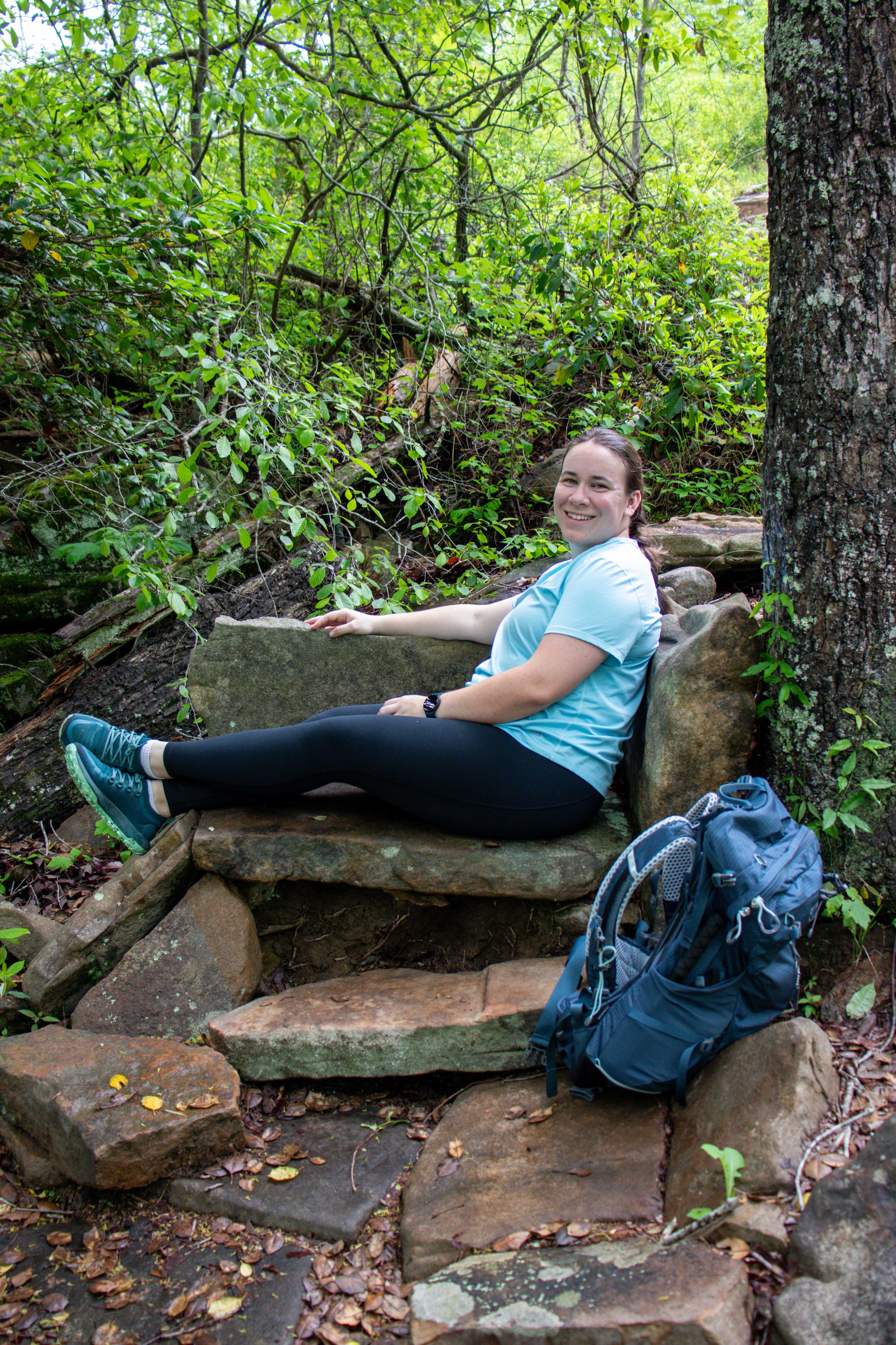
While down at the Little River Falls viewing platform, you can take the trail back and up further. This will take you toward the Little Falls Trail. You’ll soon reach a trailhead kiosk for this trail. As long as you’re good with over a hundred stone steps, I recommend braving this trail. Don’t worry, along the way is a stone bench you can rest on! At the end are the steps that will lead you to the river’s edge. If the water is low, you can walk out and downstream to see Little Falls as it plunges into a swimming hole.

That’s all for this area and hiking. Now it’s time to get back to the car and grab lunch.
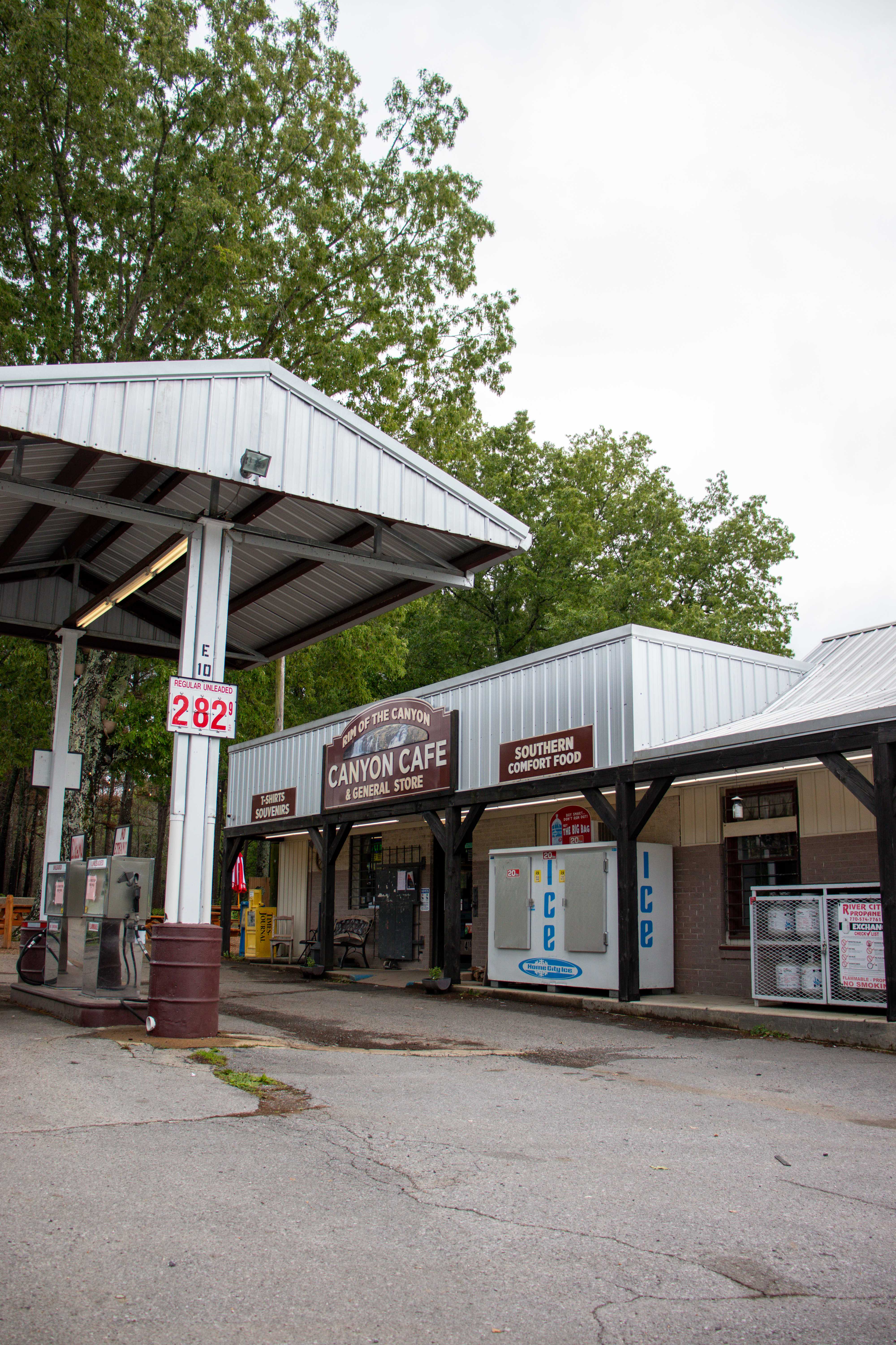
The Rim of the Canyon Cafe and General Store is just across the street from the Little River Canyon Center, making it the perfect stop for lunch. I got the Mushroom Rock which is their version of a patty melt. And in the general store area I grabbed a Butter Pecan Coconut Poke Cake from the refrigerator. The cake was not overly sweet, making it the perfect dessert before hitting the road.


Next is to drive the Little River Canyon Rim Parkway. It won’t take long to reach the Little River Falls Overlook, which I recommend stopping at to take a look. From here continue on to Lynn Overlook if you want to look for unique plants, otherwise you can easily skip this one.
Next you’ll see Mushroom Rock in the middle of the median. Definitely stop and check it out along with the other rock formations on the side of the road. Then continue on your drive and stop at either the Canyon View Overlook or Wolf Creek Overlook for the best views of the canyon at some of its deepest points.
After enjoying the overlook(s) you’ll soon come up to Grace’s High Falls. Note, you’ll only be able to see this waterfall during the wetter months as it will be dry or mostly dry if it hasn’t rained in a while.
We ended our day here and headed back. If you have the time and capability, you can add on a hike down into the canyon at Eberhart Point. Or you can continue down the steep and winding mountain roads to see more of the park. However, there isn’t much else to see unless you want to visit the Canyon Mouth Park which requires a vehicle entrance fee. In which case, you’re better off just spending your entire day at that park instead of exploring everything else in the preserve.
Tips for Your Visit to Little River Canyon
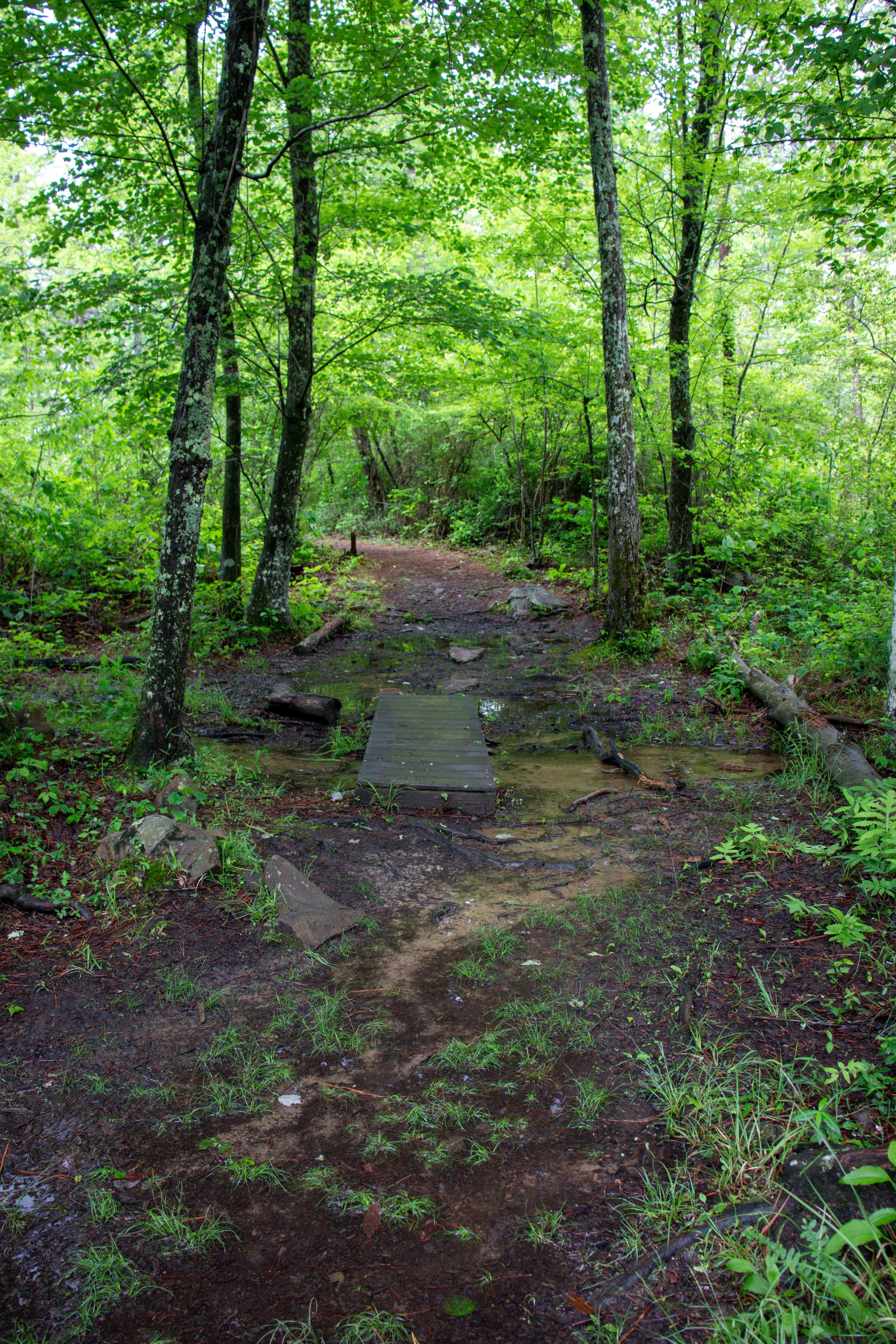
With all outdoor explorations, be mindful of the weather. If it’s rained a lot recently, the river will be high and the waterfalls will be full. But also the hiking trails will be flooded in spots, muddy in others, and may even have additional creek crossings.
You’ll notice that safety is a high priority in the preserve. With waterfalls and numerous cliff edges, safety is a huge concern. Your visit doesn’t have to be a bad one. Just remember to stay safe and don’t go near the edges or too close to raging waters. You are the only person who can keep yourself safe.
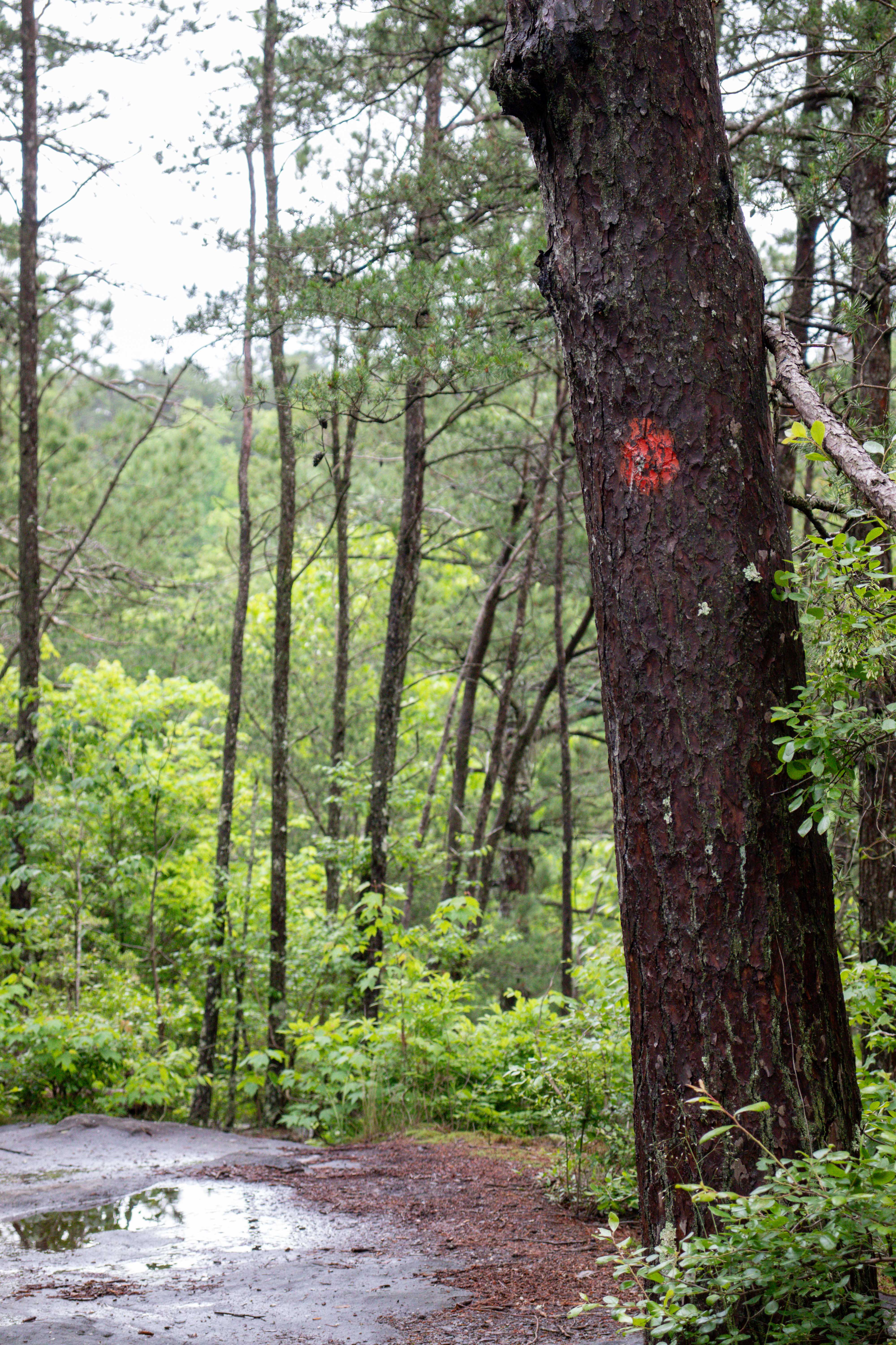
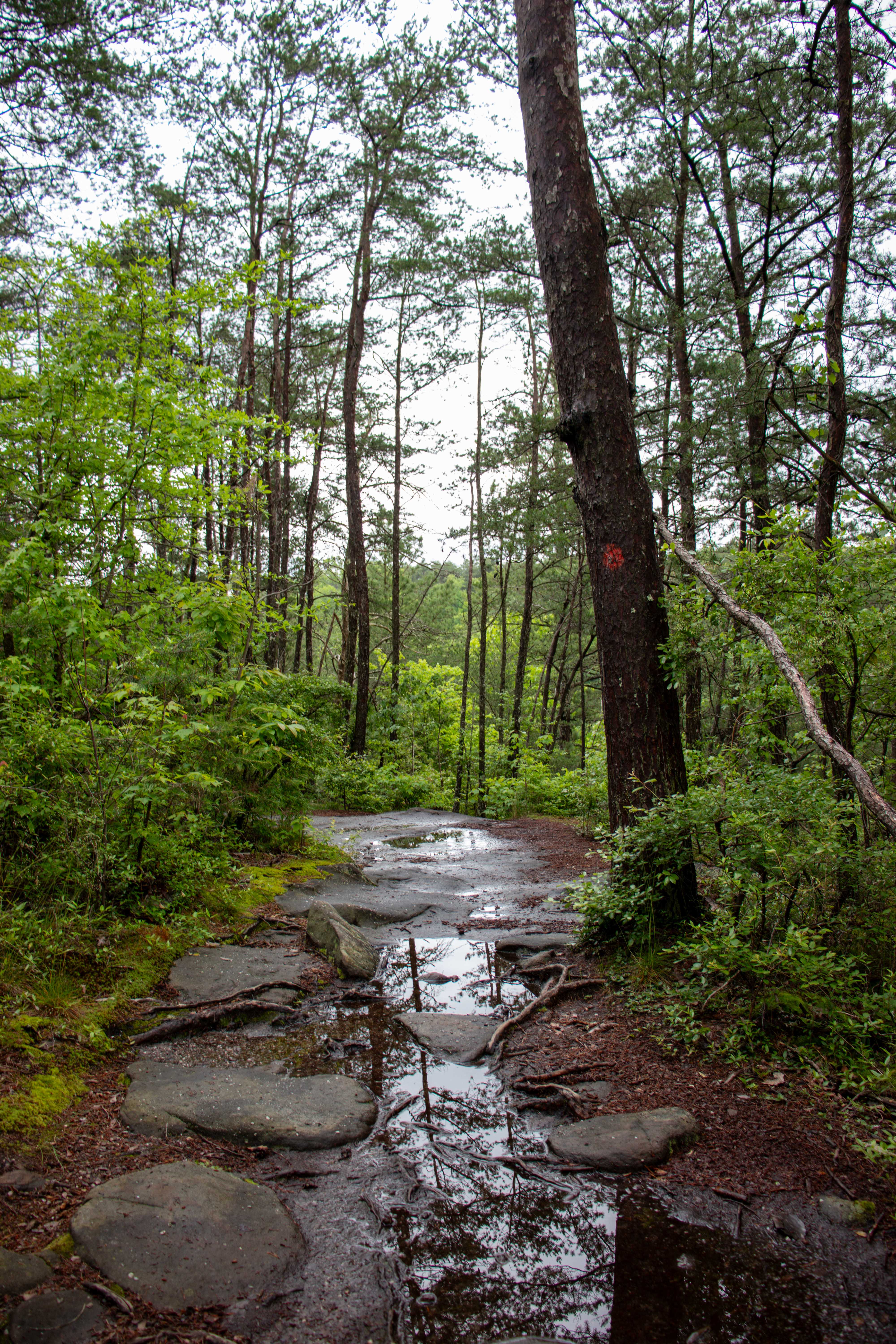
Trailblazes are painted on the trees like the picture below. They may be difficult to spot, but keeping an eye out for them will help you navigate some of the harder trails that are less obvious.
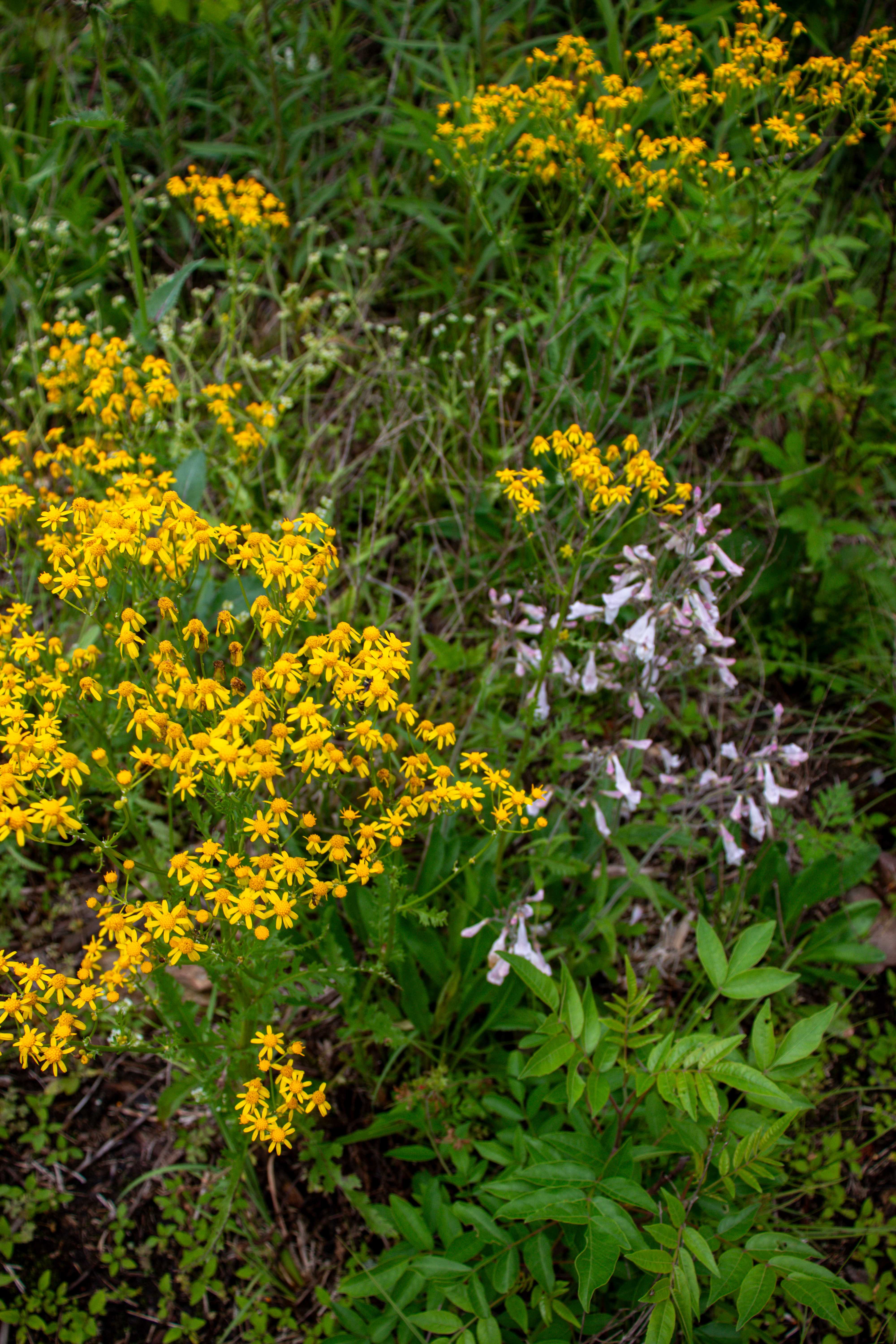
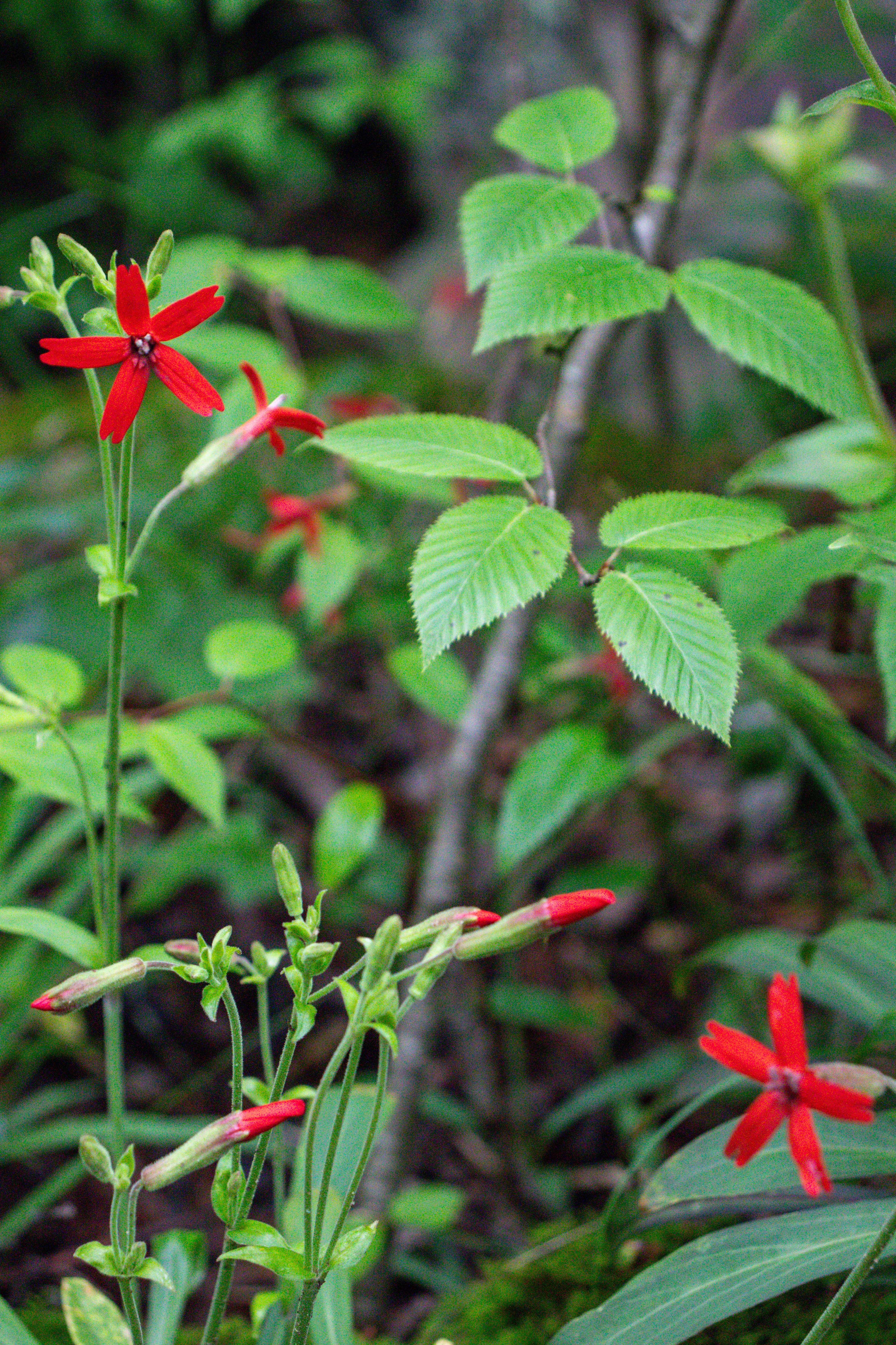
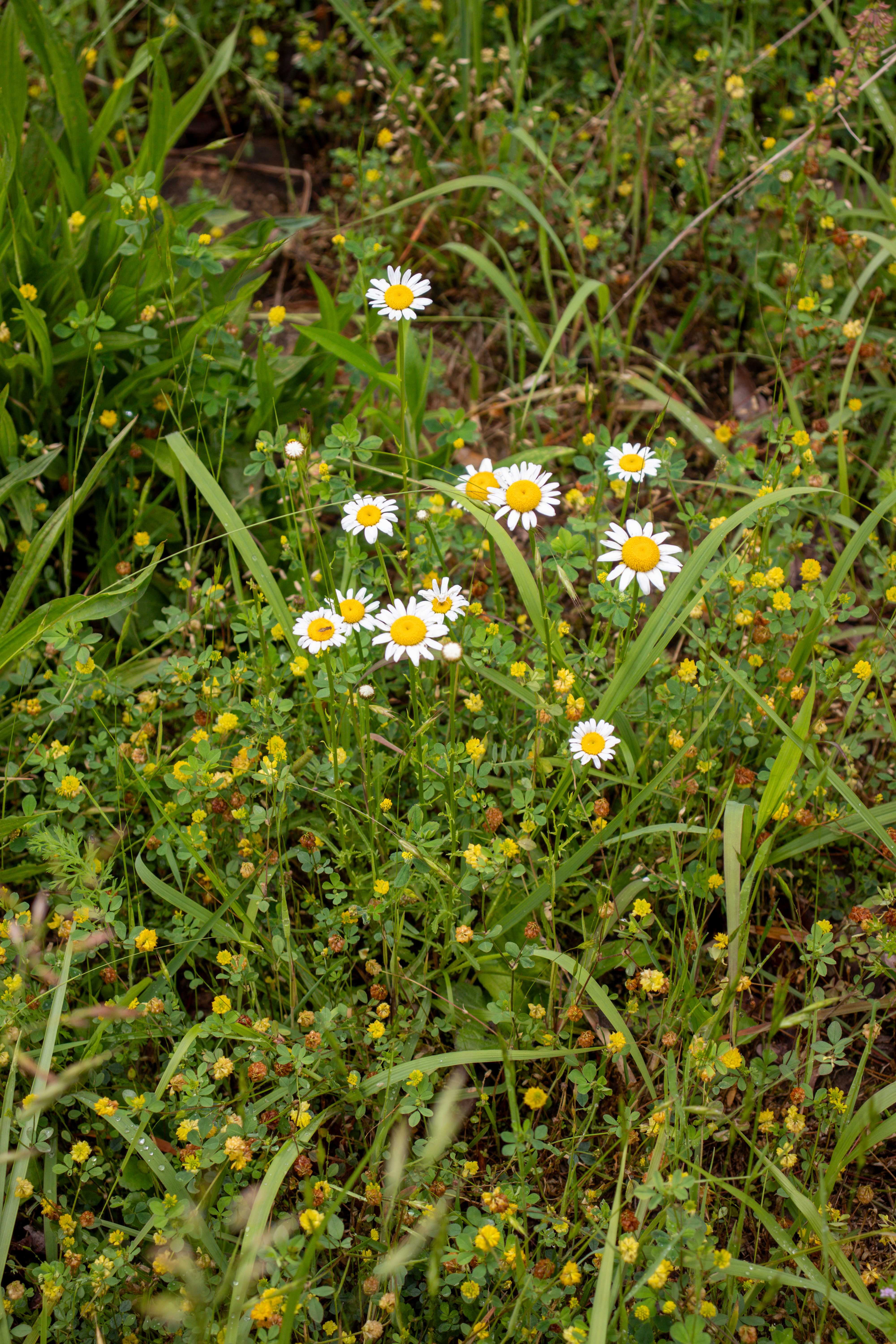
You can enjoy Little River Canyon National Preserve all year long. Consider which season you want to visit to enjoy these various attractions. In the summer, water levels are low, allowing for calm swimming holes to cool off in. In the fall, foliage throughout the park is picturesque, especially on the scenic drive of the rim parkway. In the winter, the views are even larger, as you can see through the trees now that the leaves are gone. And in the spring, so many different types of plants and wildflowers will greet you, including rare species you might not see anywhere else.
Remember, Eberhart Point marks the end of the rim parkway. Past this is a steeper driver around the canyon. RVs and trailers are prohibited here. Use caution on this mountain road full of steep hills and sharp turns.
Plan ahead and get a visual of where you want to go by looking at the map on the Little River Canyon website. And even better, grab a park map from the visitor’s center when you first arrive.
Cell signal will be spotty in most of the park, but there is free wifi at the Little River Canyon Center.
Closing Thoughts
Little River Canyon National Preserve is a unique hidden gem in northeastern Alabama. It’s the perfect day trip from Chattanooga to get out and explore a new area. It’s family friendly and there’s lots to see and do. Have you visited this preserve before? Let me know in the comments below.
And don’t forget to watch my YouTube video of my first day trip experience here.
I didn’t have time to share the full history of this area which I find fascinating. There used to be an amusement park here! So, if you’re curious about that, be sure to read about it on the preserve website.
Until next time, enjoy exploring Chatt!

More Full Day Trip Guides to Explore Outside of Chattanooga:
- Outdoors Day Trip in Crossville, TN
- Fall Creek Falls State Park in Tennessee
- Outdoors Day Trip in Bryson City, NC
Inspired? Pin this post for later: