Savage Falls is a Tennessee gem tucked away inside Savage Gulf State Park, yet it’s easy to hike to and access.
Easy Tennessee hikes can be hard to come by, but this one is certainly not difficult. However, I will warn that the mileage makes it a little harder than some, but the minimal elevation change is what really makes Savage Falls an easy Tennessee hike. Continue reading to learn more about this location, tips for your hike, and how to find Savage Falls to enjoy for yourself.
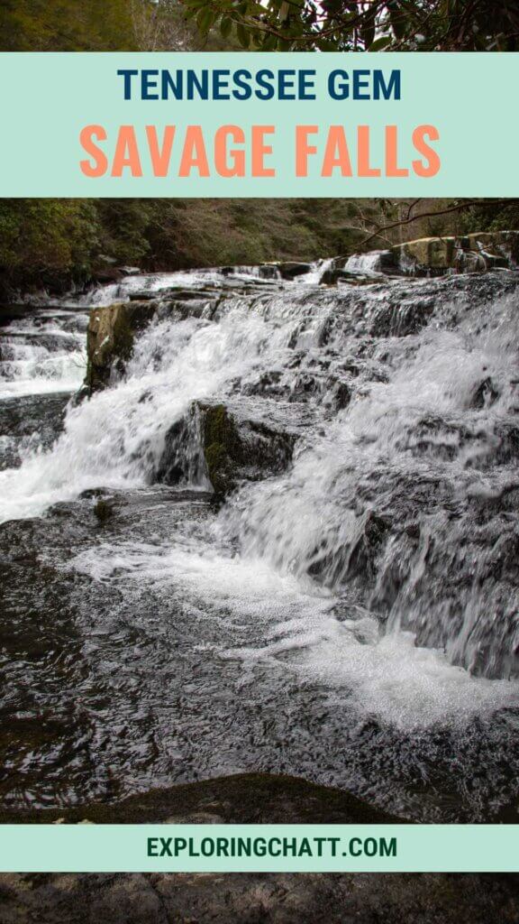
In a hurry? Pin this post for later:
Savage Gulf State Park
Savage Gulf State Park is one of Tennessee’s newest state parks. The Savage Gulf State Natural Area was previously part of the South Cumberland State Park, but recently branched off to become its own state park instead. This change has allowed for more resources to benefit the park. Including, but not limited to, adding a visitor’s center and an RV campground. Overall, the park comprises nearly 19,000 acres with 55 miles of hiking trails throughout as well as numerous campsites for backpacking trips.
Savage Falls
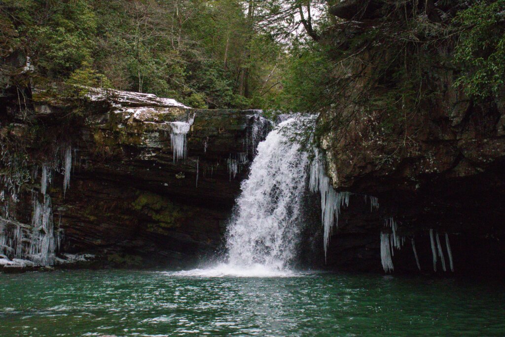
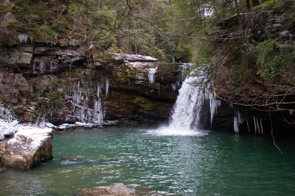
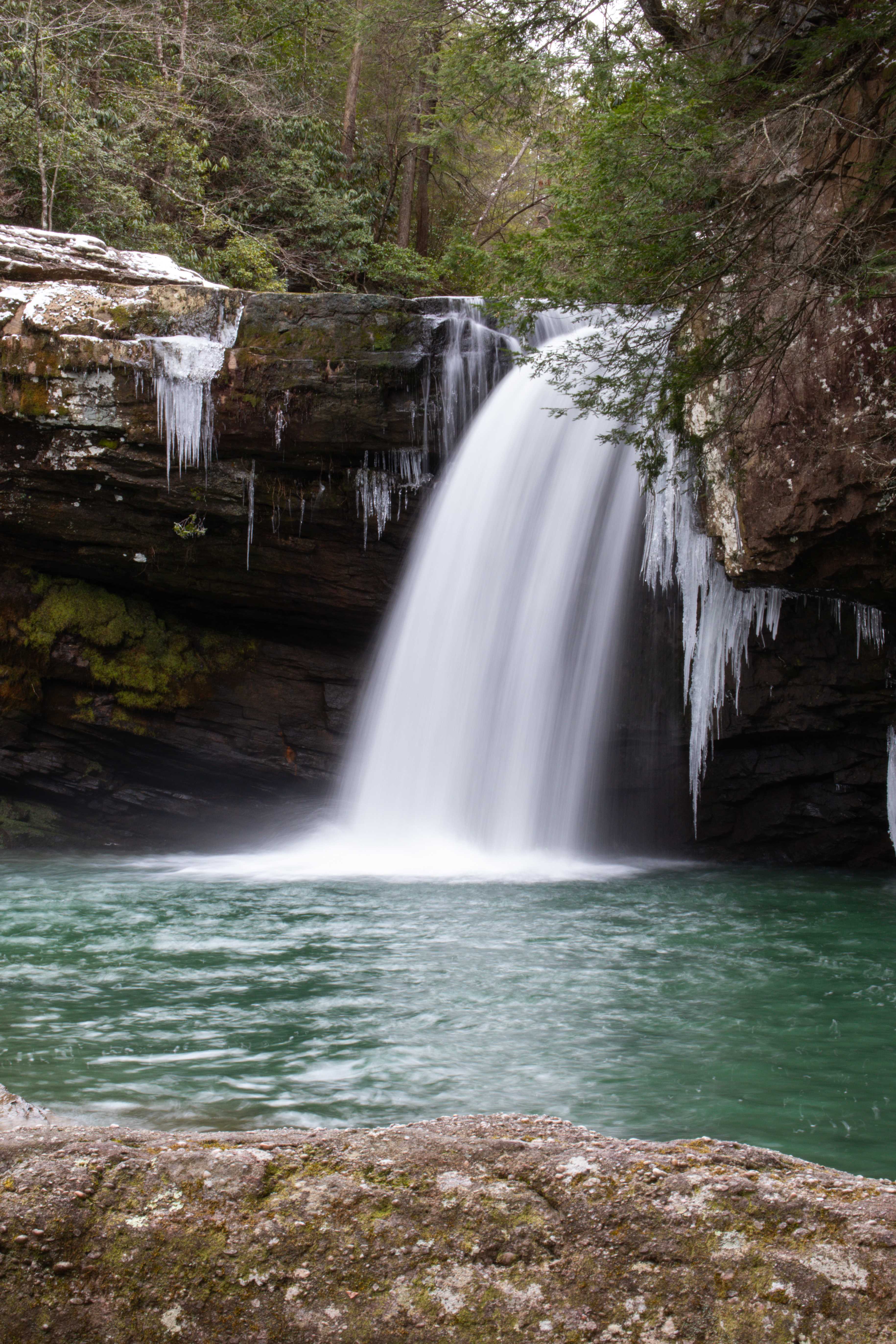
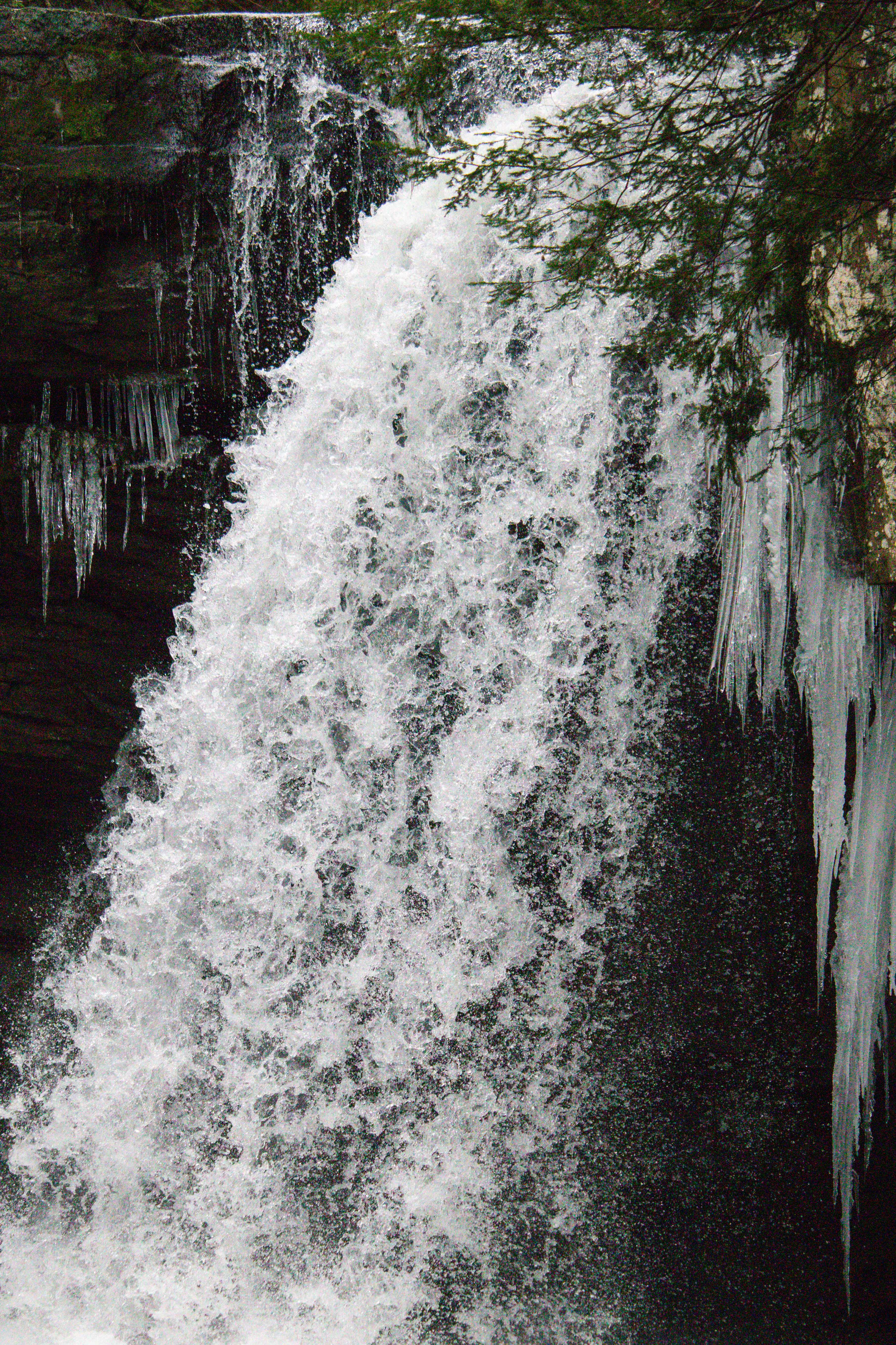
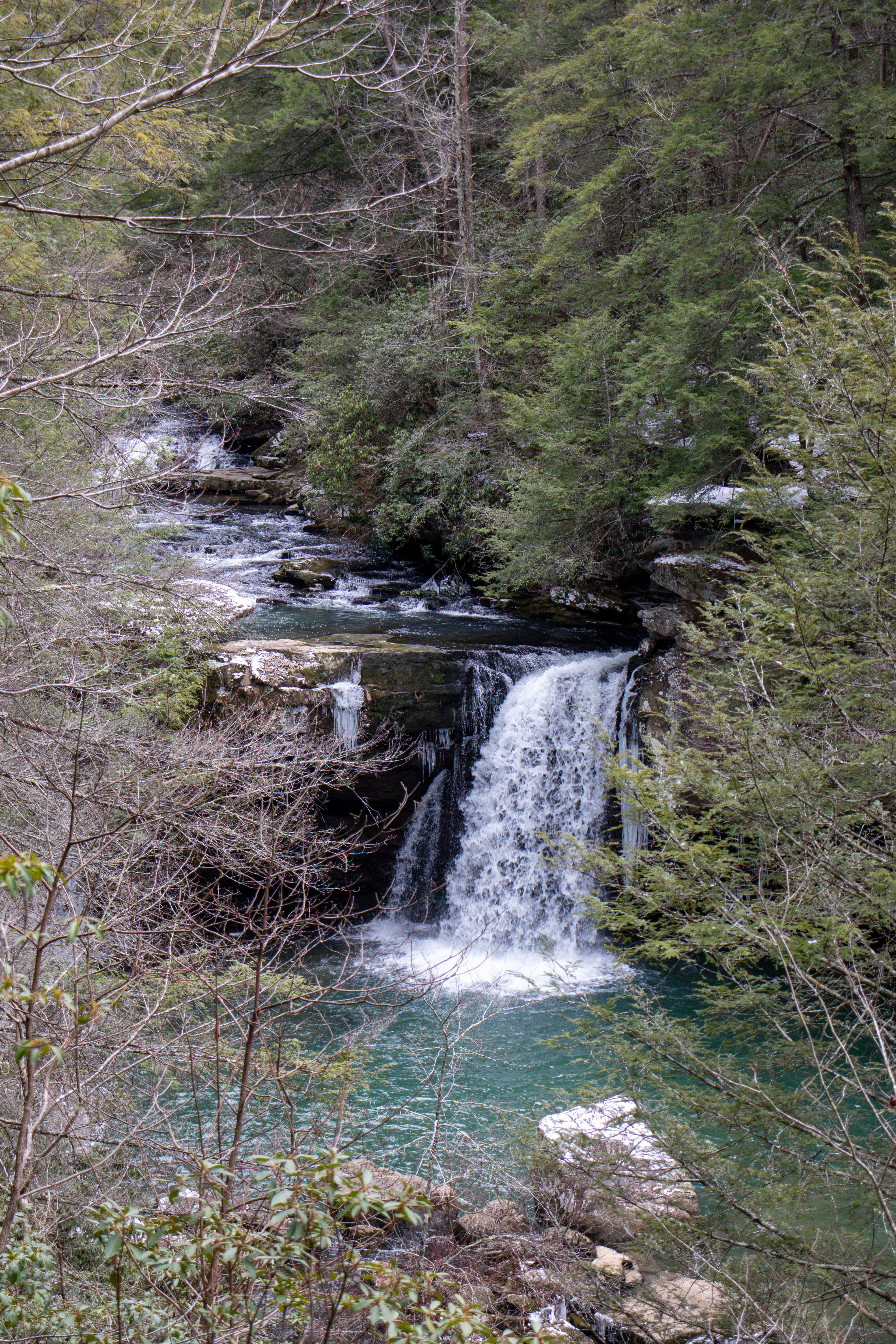
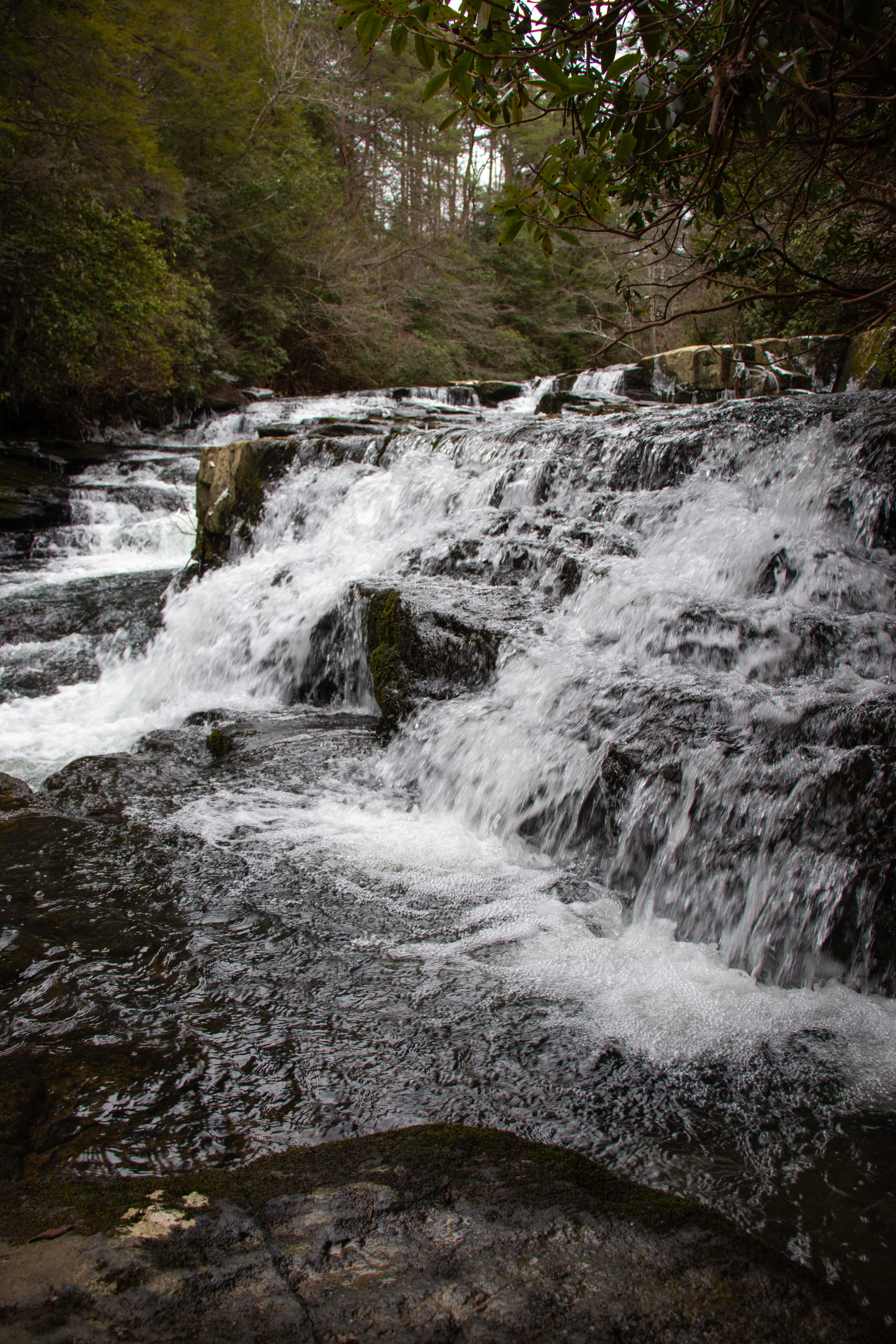
You can easily hike to the bottom of Savage Falls. The 30 foot waterfall freefalls into a blue hole that would be perfect for a summer swim. However, there’s a warning sign leading up to the falls stating that submerged rocks can make this a dangerous place to swim. Please proceed with caution.
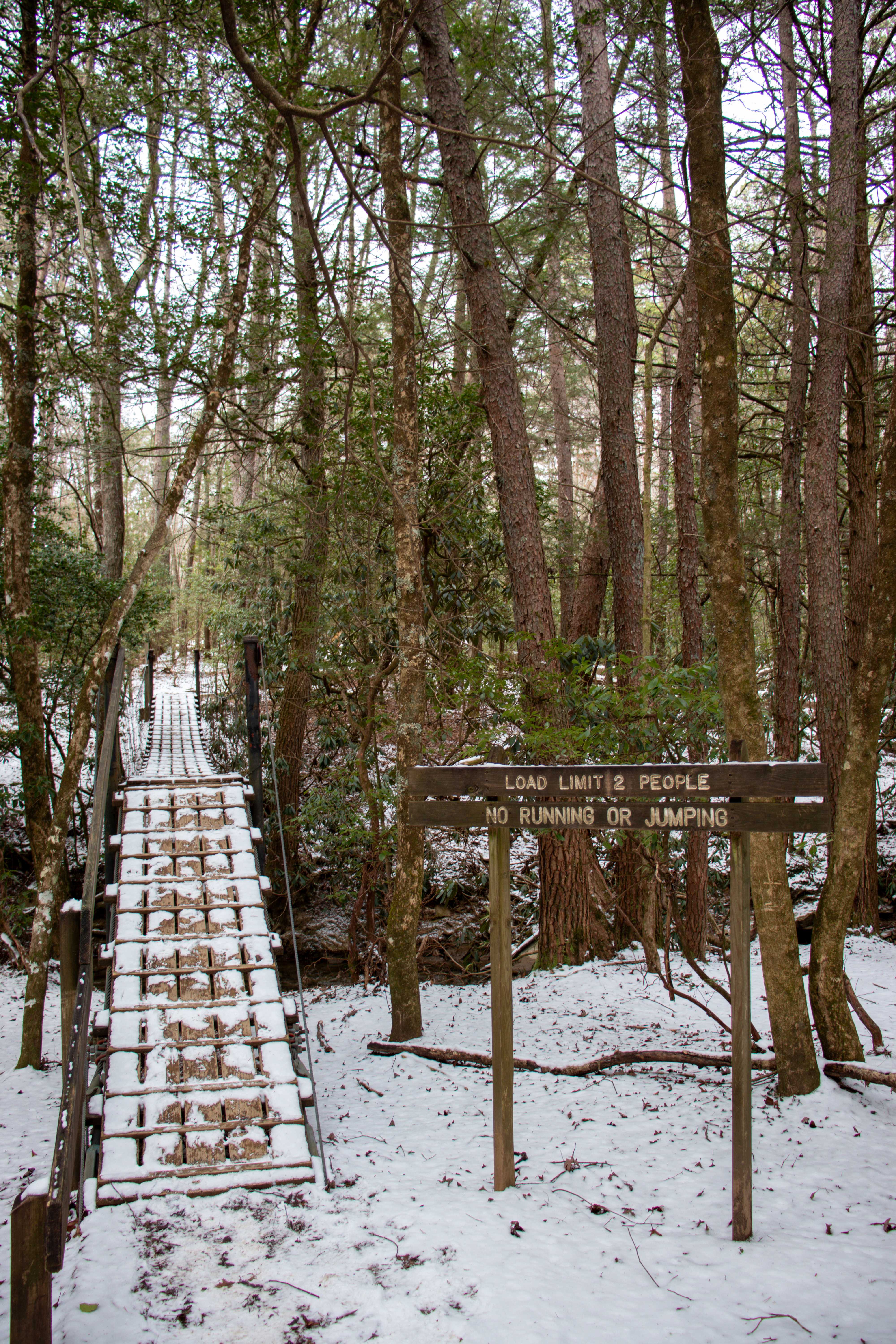
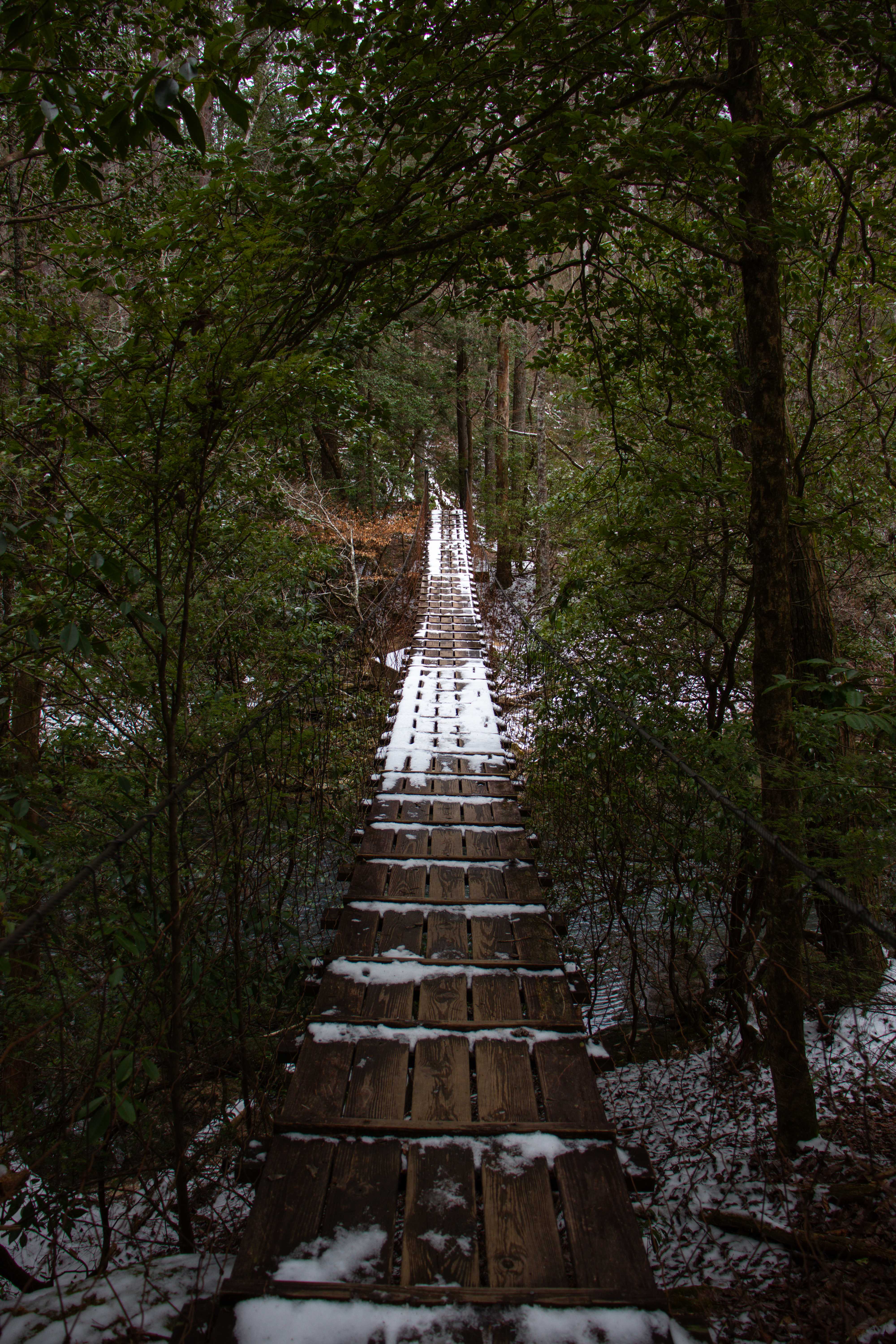
Savage Creek and Boyd Branch Bridges
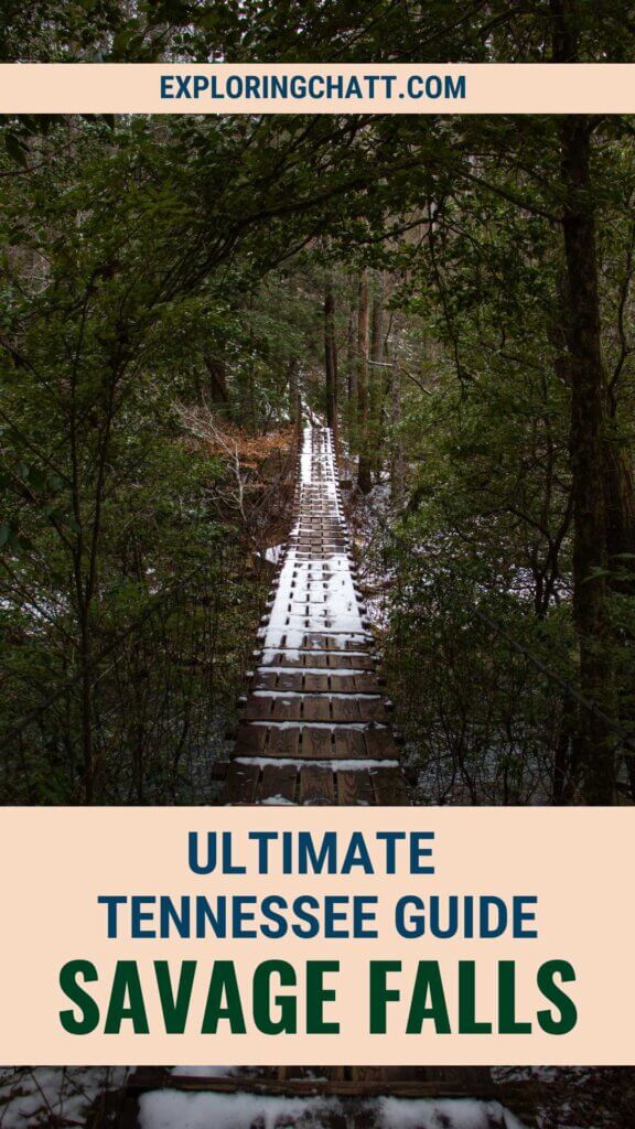
Along the way to Savage Falls are two different suspension bridges. The first crosses over Boyd Branch. The second crosses over the wider Savage Creek. Even though both bridges vary in length, the maximum capacity is 2 people at a time. Please be respectful of these bridges and obey the signs so that they can last for years to come.
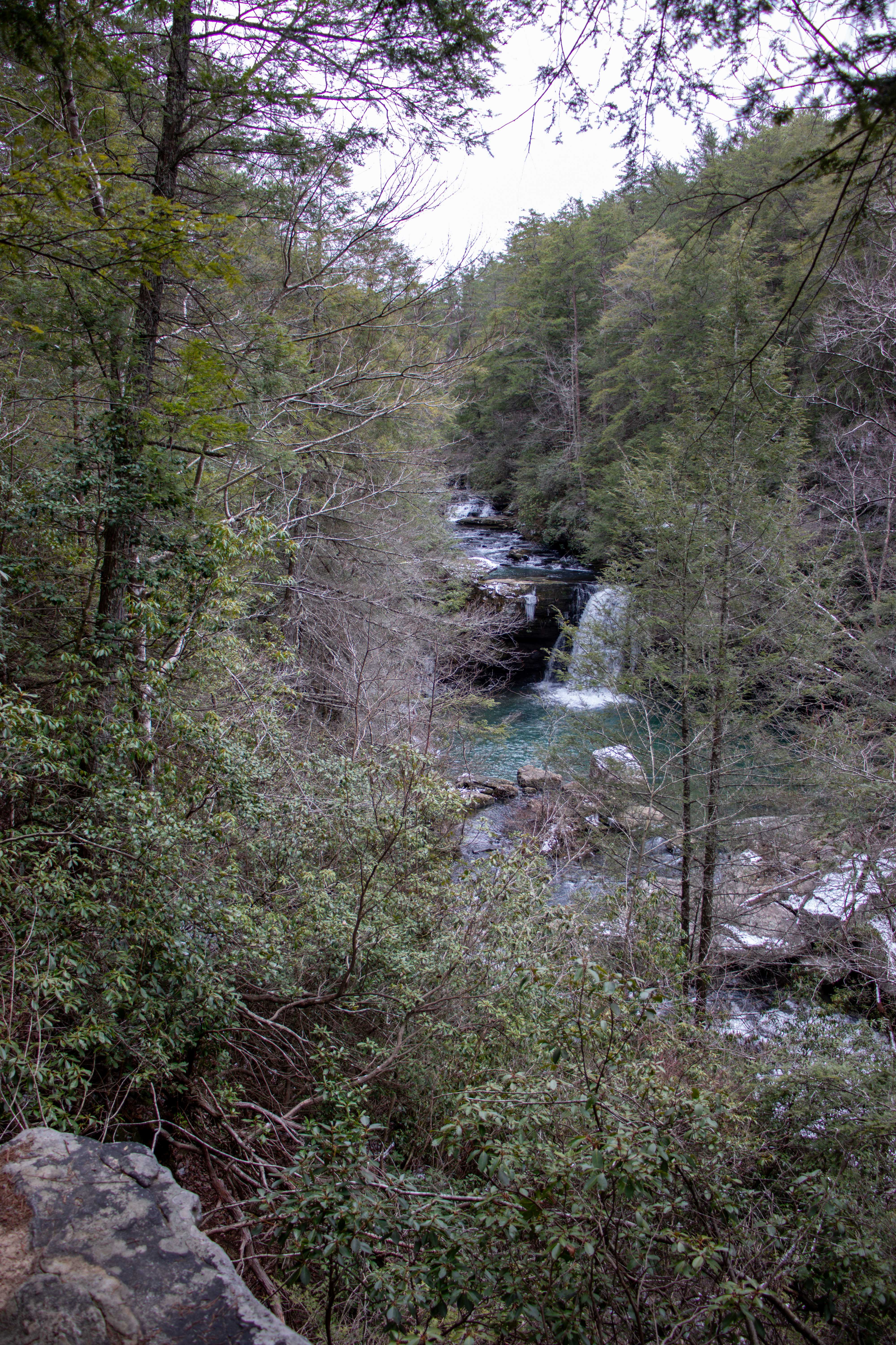
Savage Falls Overlook
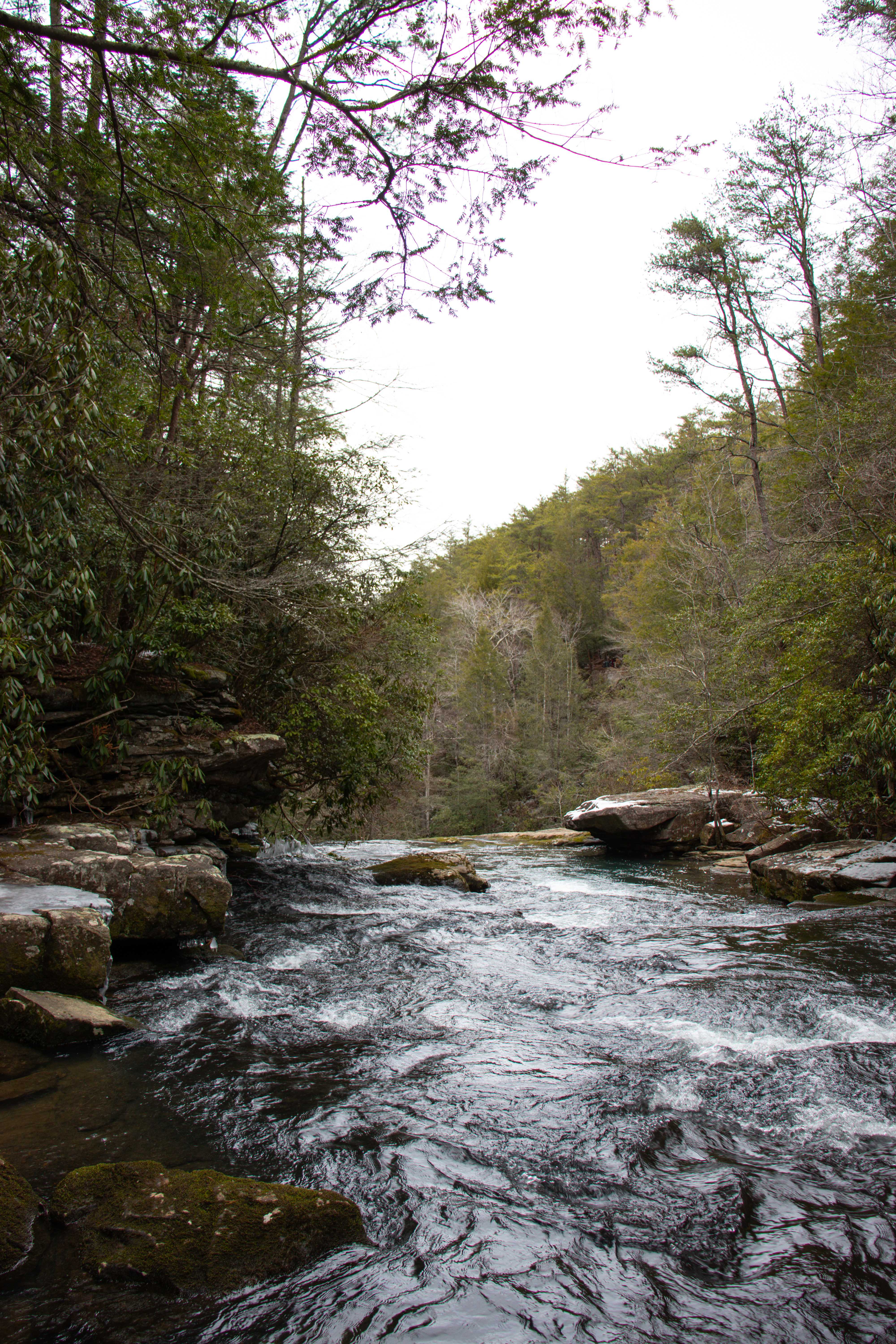
There’s also a hike to an overlook of the falls. And the best part is, not only does it show the falls at the best angle from high above, you can also see the cascades just upstream from it. So, you’ll get the full view of Savage Falls in all its glory.
Rattlesnake Point Overlook
We didn’t have time to hike to Rattlesnake Point Overlook, but it’s not too much further up the Savage Dayloop from the Savage Falls Overlook. Next time I visit, I plan to hike the full dayloop so I’ll update you then.
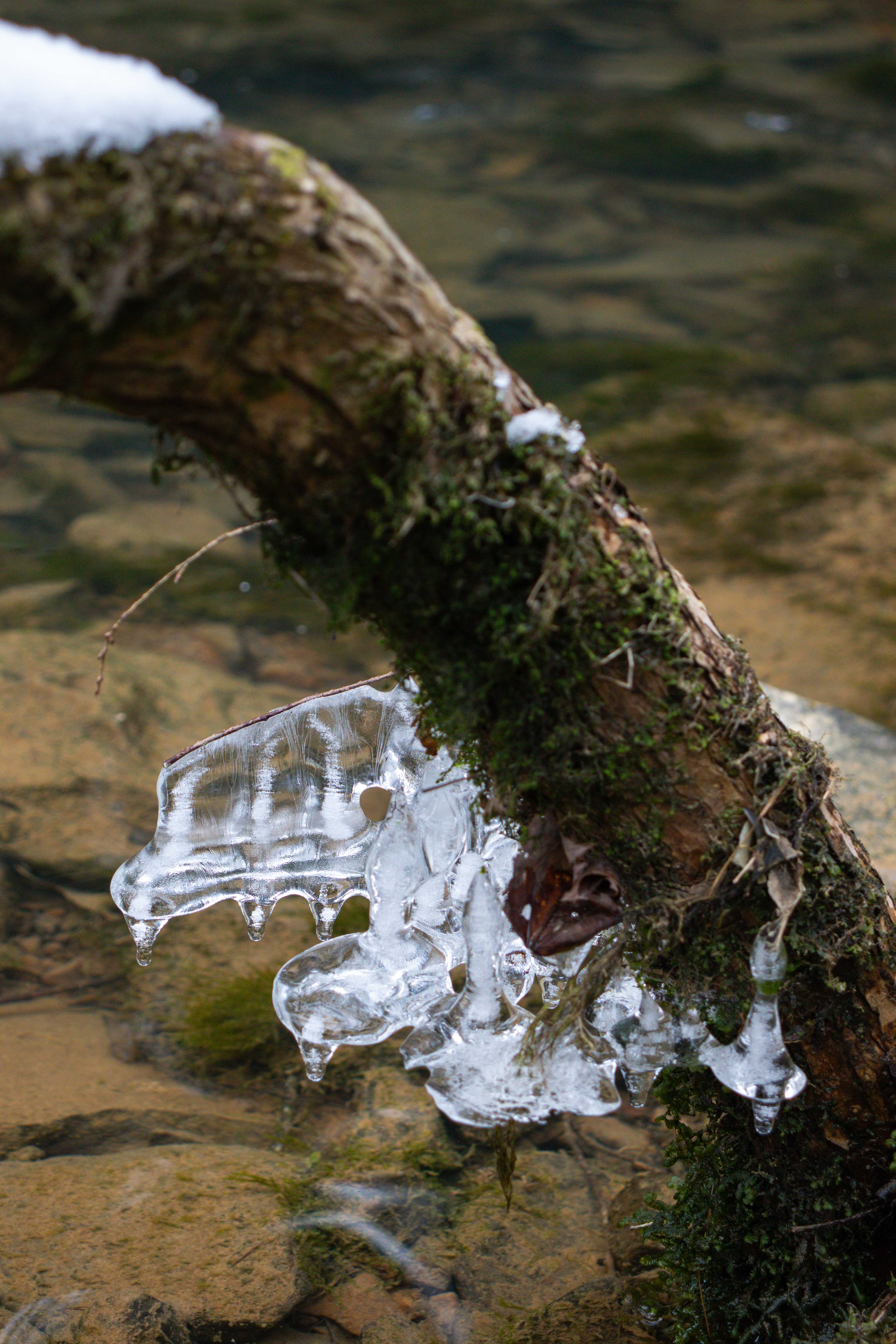
Savage Cascades and Moonshine Still Site
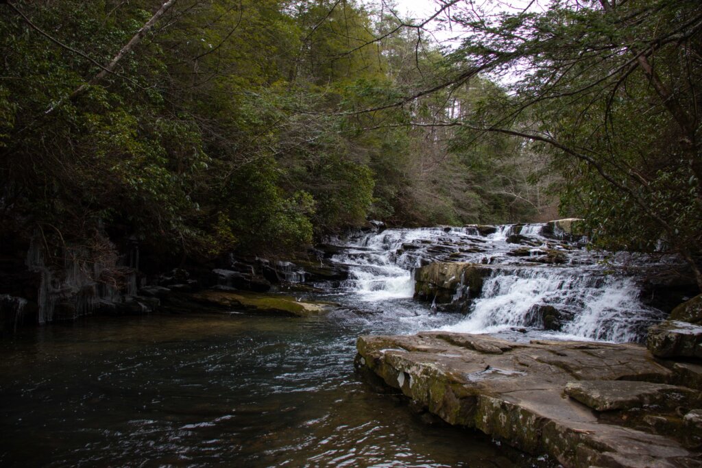
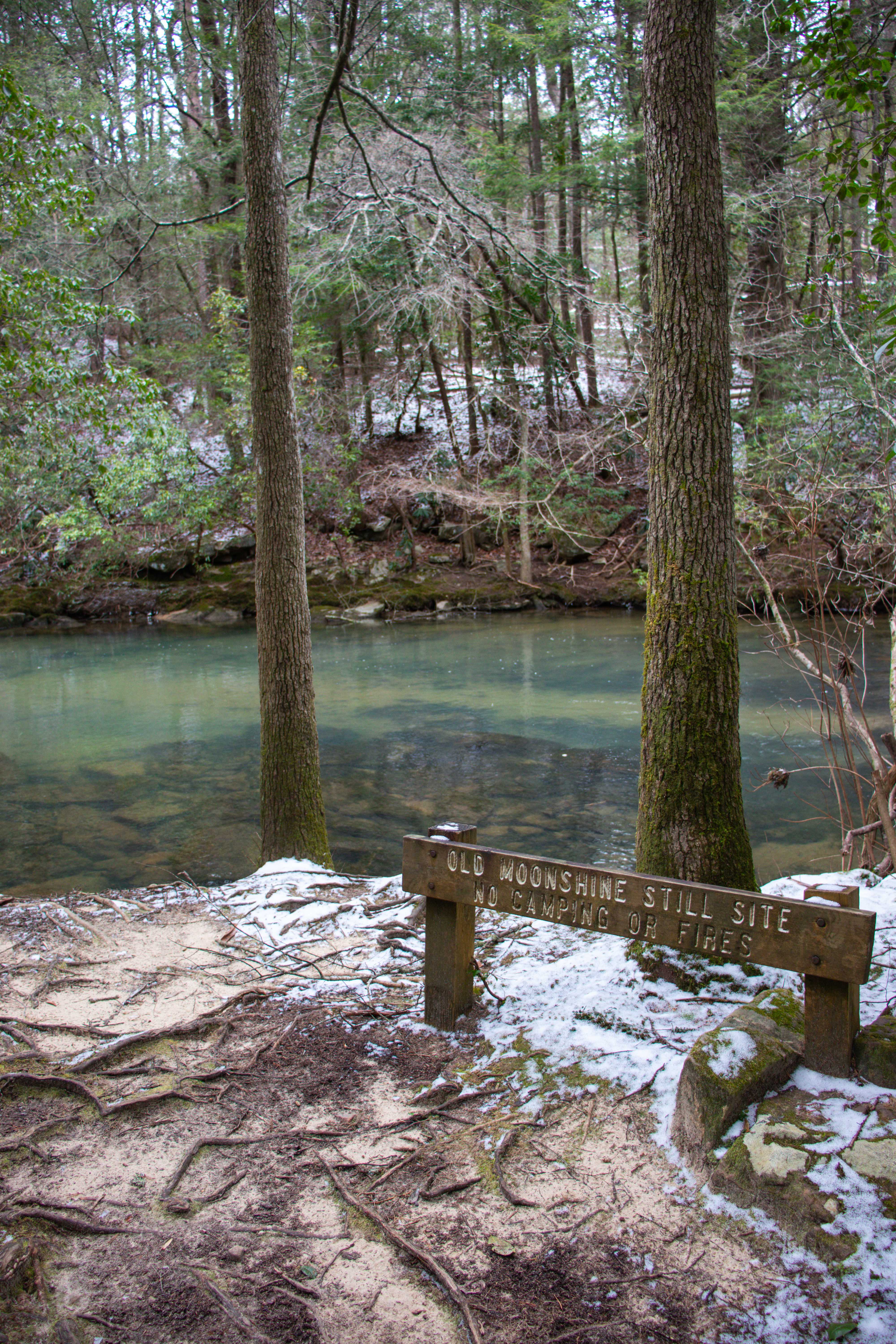
Right before Savage Falls when you’re hiking to the base, there’s an old Moonshine Still Site. There’s no remains, but the sign tells you it was there. Just past this is a set of cascades. I don’t know that they have a name, but considering they’re just above Savage Falls on Savage Creek, I believe it’s fair to call them the Savage Cascades. This is a peaceful little spot to enjoy before going down to see the main attraction.
Hiking to Savage Falls
The hike to Savage Falls is easy, but a little lengthy. Overall, our hike out to Savage Falls, the Savage Falls Overlook, and back was just under 3.5 miles total. With an elevation change around 250 feet for the entire hike, this makes it an easy Tennessee hike.
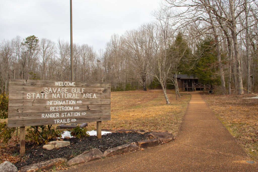
Savage Gulf East Trailhead
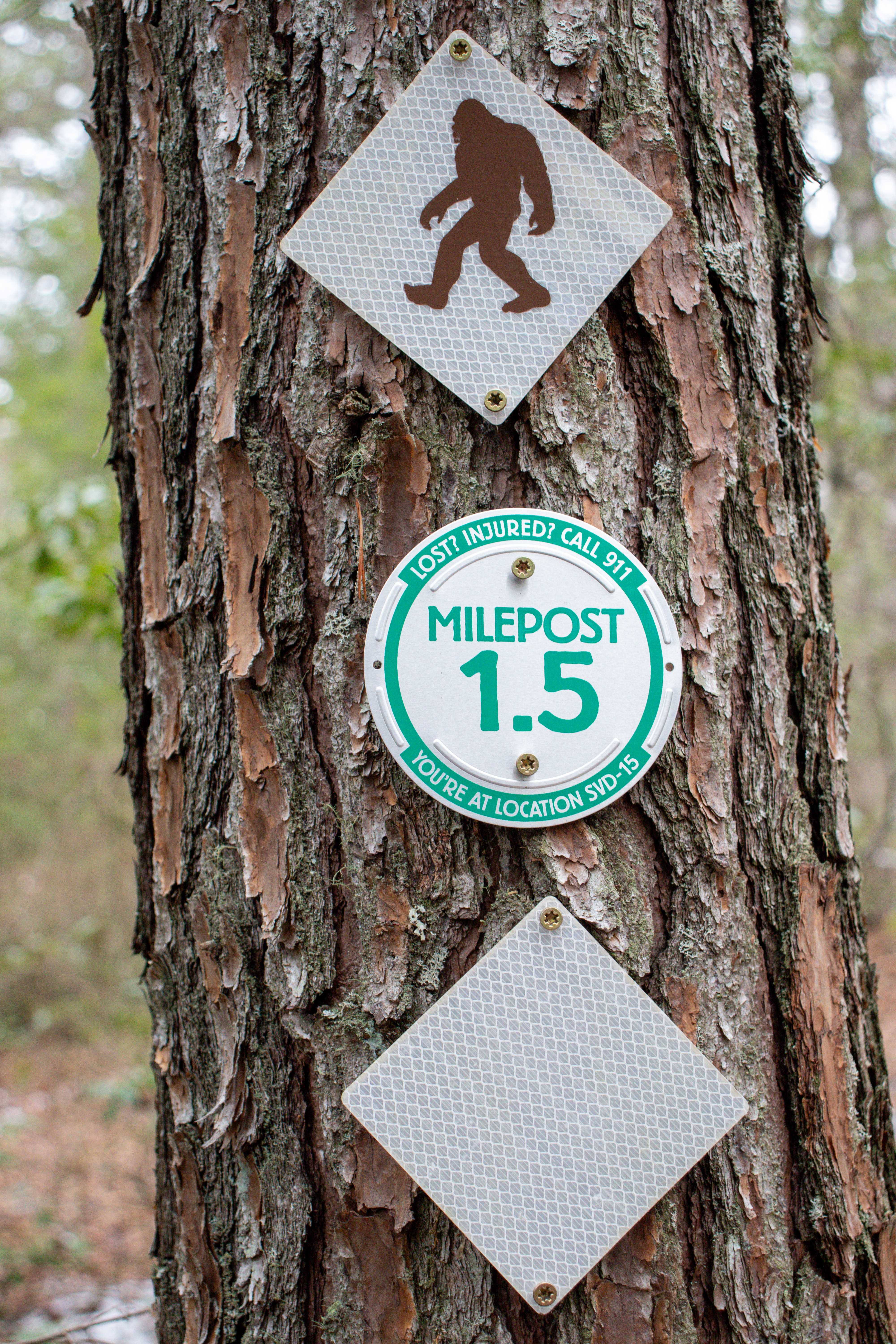
Starting your hike from the Savage Gulf East Trailhead, be sure to take a photo of the map with just the section you’re hiking around Savage Falls. Or, simply review the map and head out. If you have a good sense of direction, you’ll be fine without a map. The trails are well marked and junctions are well labeled. The trail starts just to the right of the Ranger Station. The trail goes for a mile before reaching its first junction where it splits to the Savage Dayloop Trail.
Savage Dayloop Trail
The Savage Dayloop Trail is just over 2 miles in length, but you don’t have to hike the entire thing in order to see Savage Falls or the overlooks. In fact, just about a quarter of a mile is used in the hike to the Savage Falls Overlook. And going the other way, another quarter of a mile leads to the bottom of the falls via the South Rim Trail.
South Rim Trail
The South Rim Trail takes you the last quarter of a mile to the bottom of Savage Falls. It is also an extremely long trail that continues on into the Savage Gulf. Technically, you could take the back way to Savage Falls, if you want to backpack in the gulf on the way. The trails of Savage Gulf State Park are plentiful and long, with plenty of campsites strewn throughout. To learn more about camping here, be sure to check out the Savage Gulf State Park website.
Tips for your Hike to Savage Falls
Be prepared before you go. Locations and when to go are helpful information for planning a hike. If you’re new to hiking or want to add more trusted gear to hiking supplies list, check out my Hiking Essentials blog post.
Getting There
You’ll find the Savage Gulf East Trailhead located on the east edge of the park, hence the name. It’s easy to access as it’s right off the main road of TN-399 in Palmer, TN. The driveway and parking area are paved which allows any vehicle to reach this place. There’s plenty of parking spots, but this area can become quite popular on the weekends and during good weather. As always, I suggest arriving early or on a weekday if you can.
Ranger Station
The Ranger Station is right by the parking area. There’s restrooms on the far end which is nice since many hiking trails don’t offer restrooms. I’ve read that there’s also free WiFi here, but I didn’t try it. Note, I had little to no cell service here, even in the parking lot.
Hiking Trails
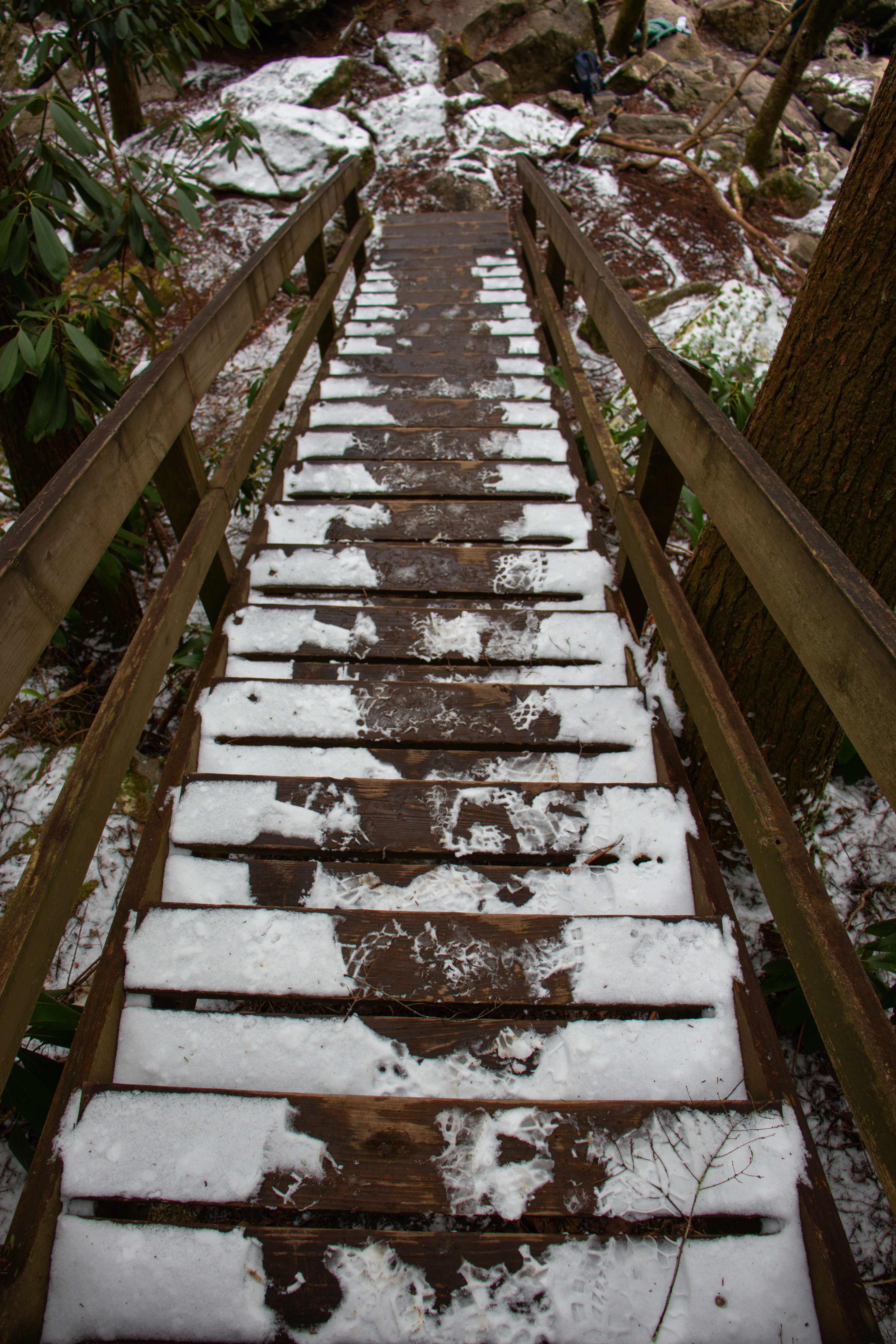
As mentioned earlier, the hiking trails to Savage Falls and the overlooks are fairly flat. There is a staircase to the base of the falls, plus 2 suspension bridges along the way.
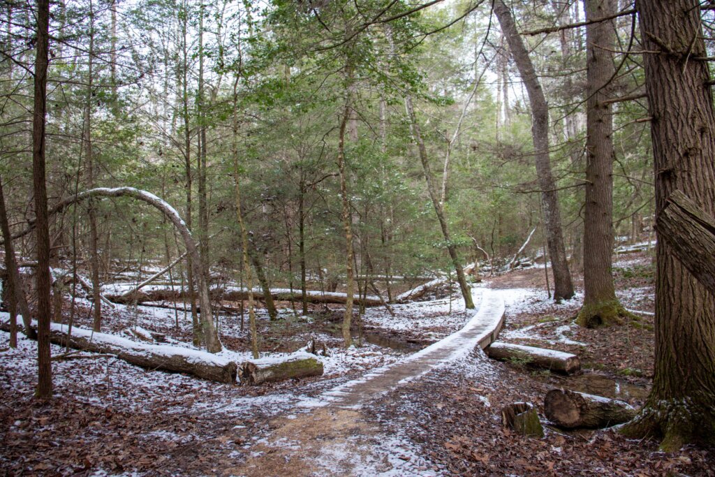
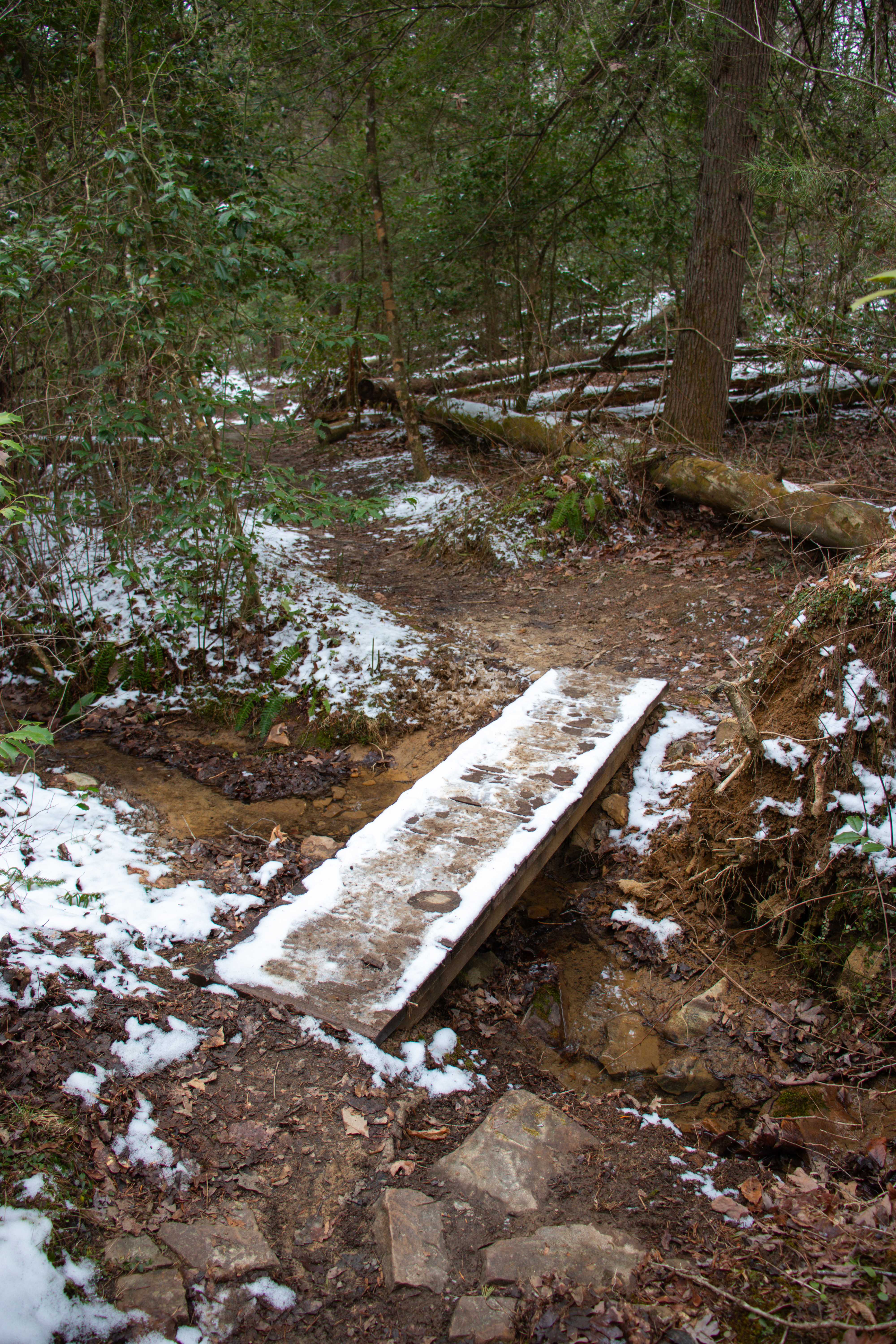
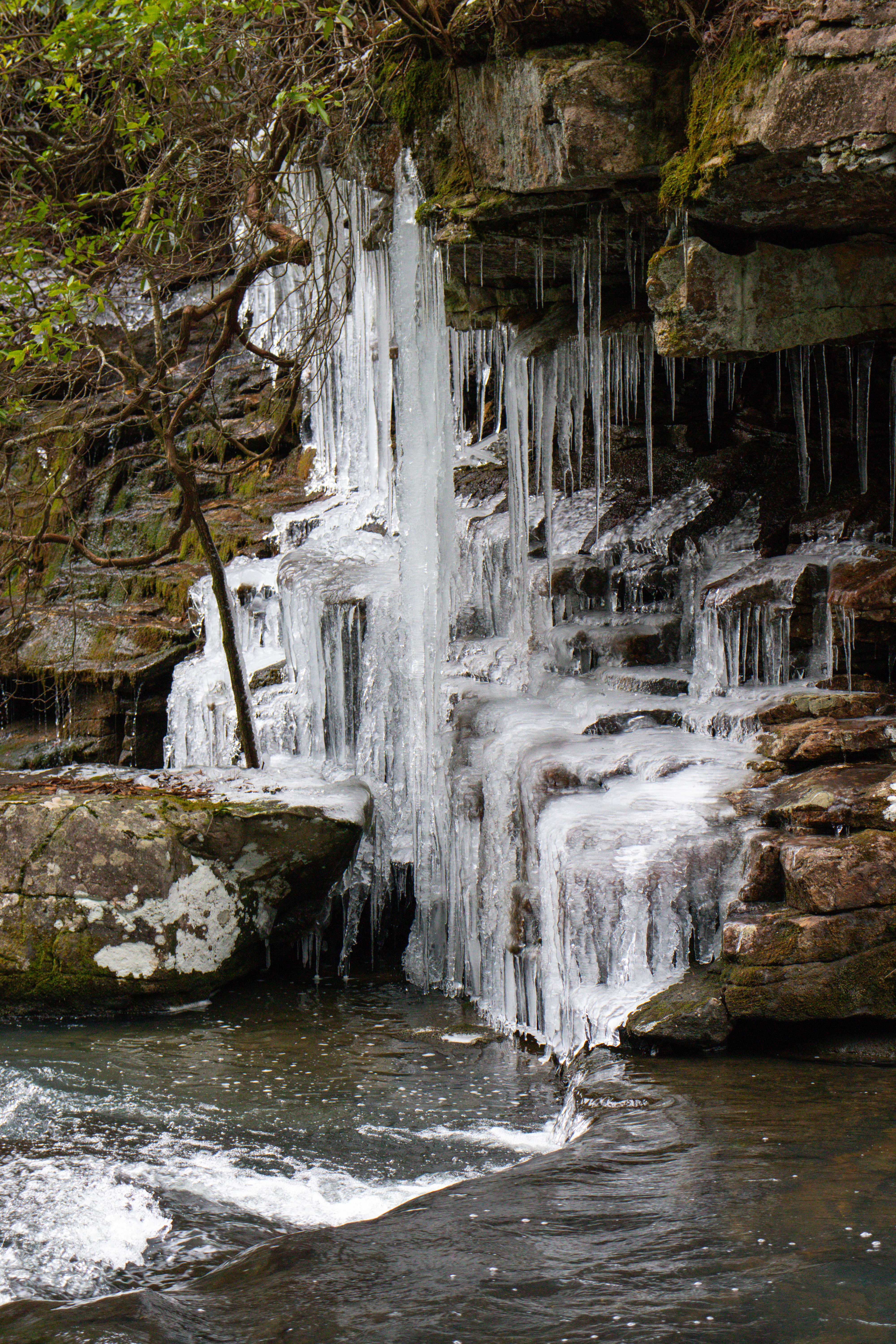
If it’s rained a lot recently, or in our case snowed, the trails may be slick and muddy in some spots. But overall, the trails are still hikeable no matter the weather.
When to Visit
We visited in winter, as you can see from the photos with a remainder of snow. But, from what I can tell, this hike will be beautiful year round. I’ve seen people say that it’s gorgeous with fall foliage. And of course, the blue hole makes it perfect for summer too. I imagine there’s wildflowers to enjoy in the spring also.
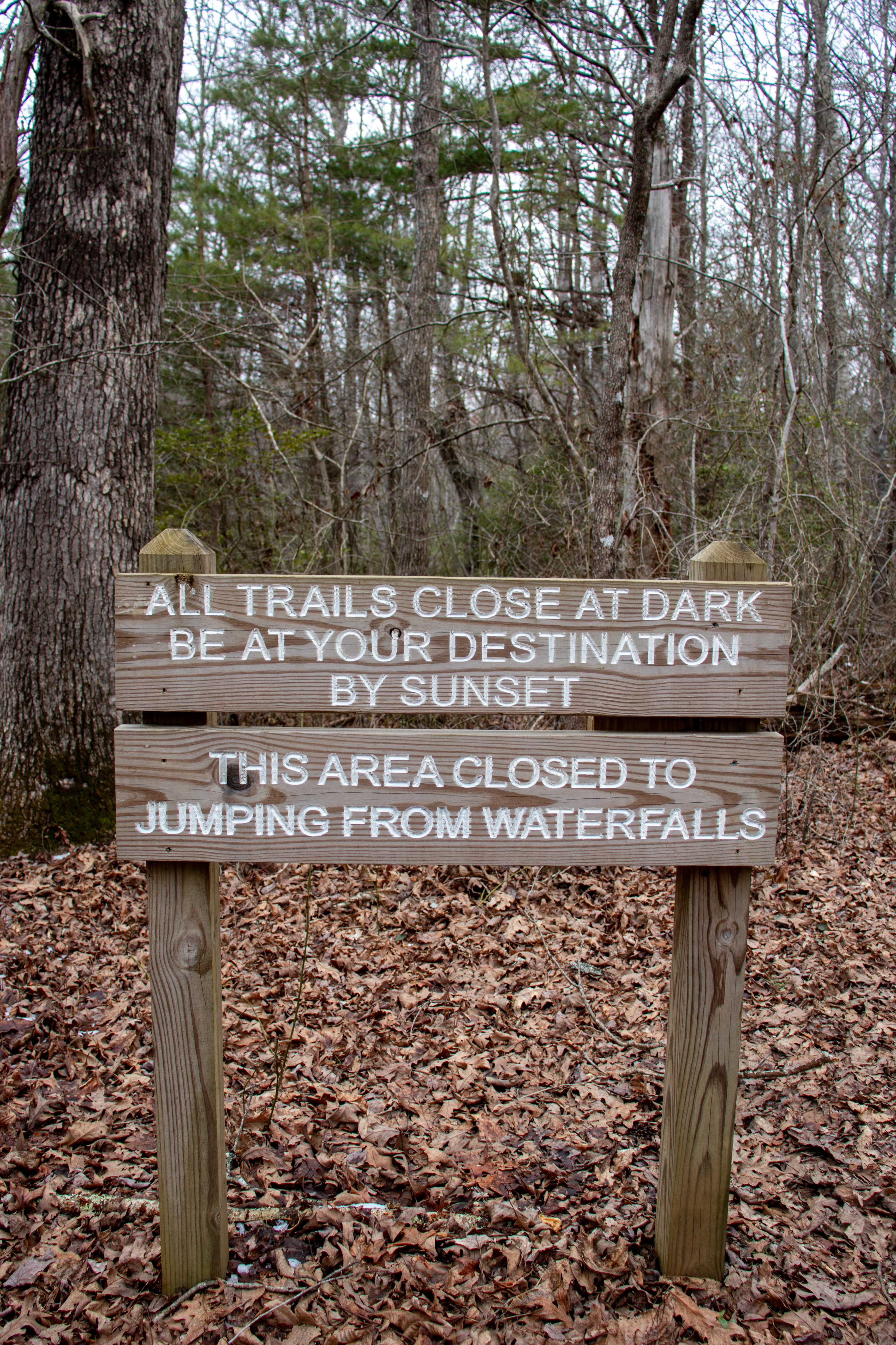
The hiking trails are open from sunrise to sunset, but there’s also campsites throughout the park. At the Savage Gulf East Trailhead, there’s a campground right behind the ranger station. There’s also a couple of campsites near Savage Falls. But in order to camp anywhere in the park, it’s recommended that you make a reservation online first. This will ensure you have a campsite to use and enable you to pay online for it.
Also keep in mind that the park is located entirely within the Central time zone.
In Closing
Savage Falls is an easy Tennessee hiking gem. If you’ve never been, I highly suggest adding it to your list.
Watch the YouTube video of our experience hiking here for the first time to get a better visual of the place.
Let me know in the comments below if you’ve ever hiked here before or visited Savage Gulf State Park. What’s your favorite area? Until next time, enjoy exploring Chatt!

More Hikes in the Savage Gulf State Park:
Inspired? Pin this post for later:
I wondered how high the shorter suspension bridge was on the shortest Savage Falls Hike? Trying to see if we can do it. I don’t love heights or older swaying suspension bridges. We wondered if they have any cabins in the campground, or if it is just for tents and RVs? We talked about renting an RV sometime! The Savage Gulf State Park sounds neat! Let us know if you know about our questions. We can look into the park later also. We enjoy your pictures and details!